Elevation of Rehintie 2, Savitaipale, Finland
Location: Finland > Savitaipale >
Longitude: 27.6806992
Latitude: 61.1968673
Elevation: 86m / 282feet
Barometric Pressure: 100KPa
Elevation Map:
Satellite Map:
Related Photos:

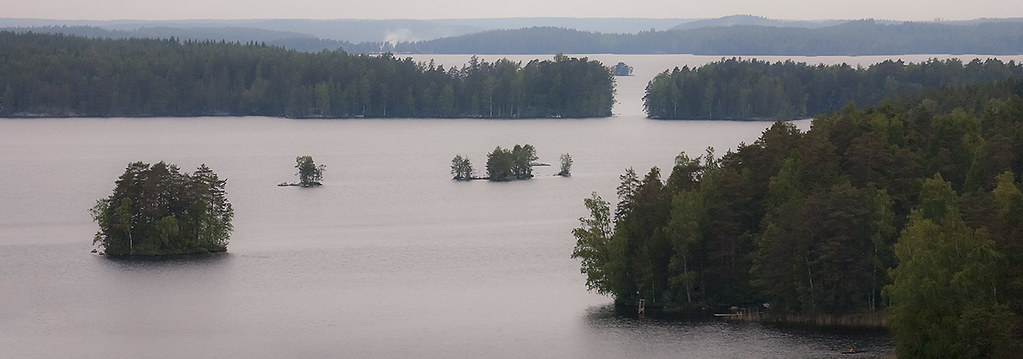
View from another island
blue blue blue

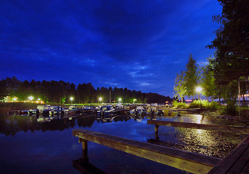
Night Weel

Wish upon a star

The old fortress mill

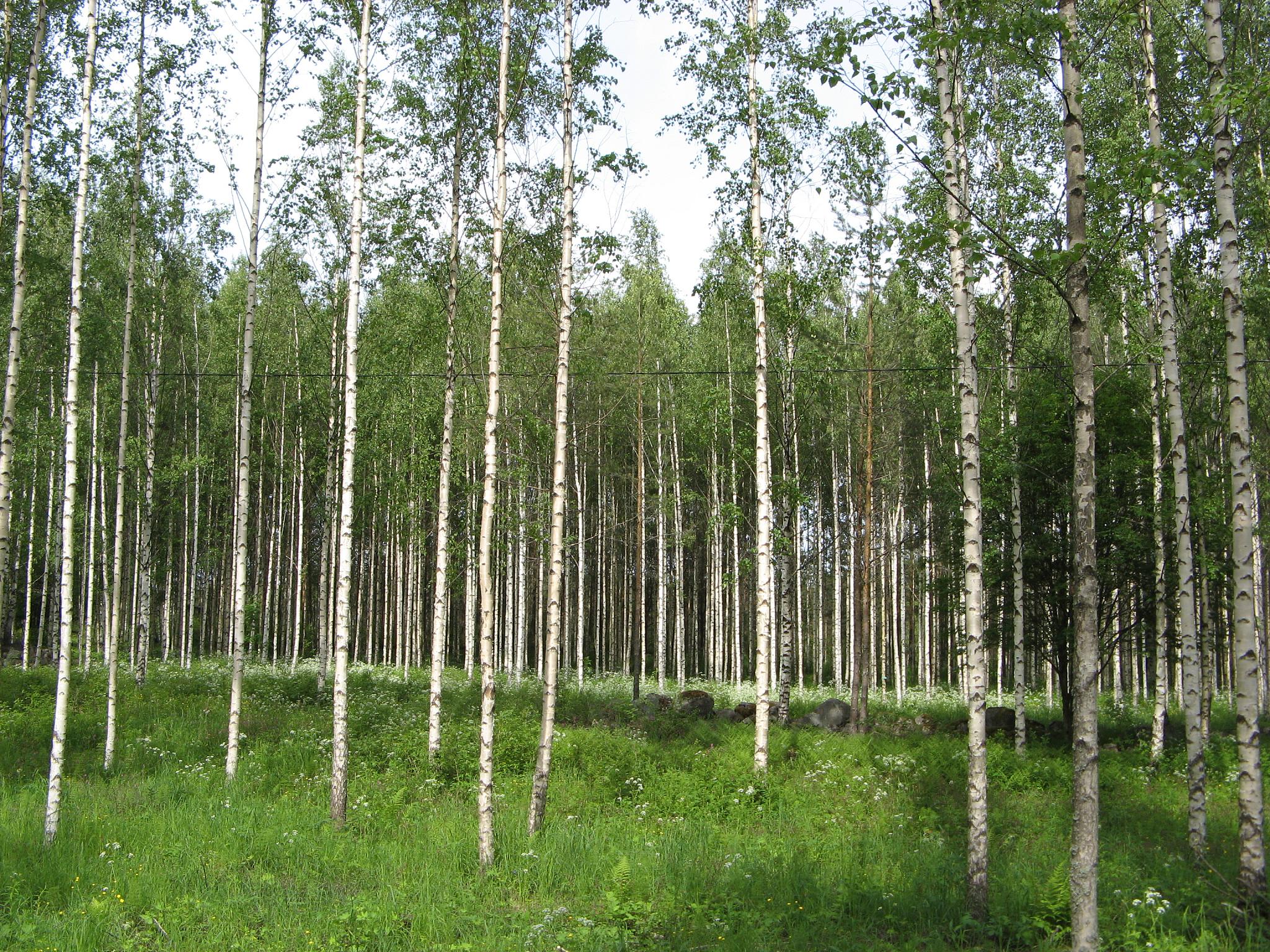
Morning forest

Path in a forest

Pine forest
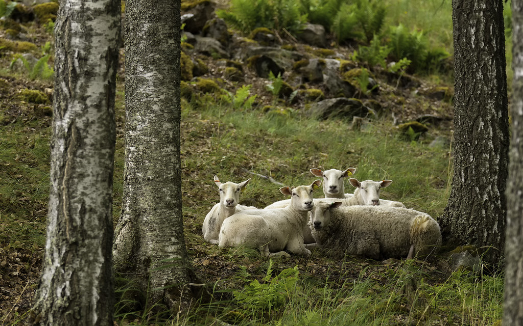
Sheep gang

Blue sky over a calm lake

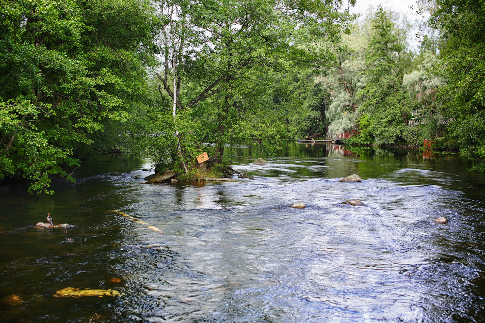
Boat trip in the morning

Clouds over a lake
traditional "line up"
Rahoitusalue HDR

Dense pine tree forest
Midsummer landscape

Finnish landscape

Beautiful sky 2

Beatiful sky
Topographic Map of Rehintie 2, Savitaipale, Finland
Find elevation by address:

Places near Rehintie 2, Savitaipale, Finland:
Savitaipale
Savitaipale
Savitaipaleen Jäähalli Oy
Lemintie, Savitaipale, Finland
Takomäentie, Savitaipale, Finland
Luumäki
Rusinniemi 6, Luumäki, Finland
Huhtiniementie, Luumäki, Finland
Kipolahti 84, Luumäki, Finland
Taipalsaari
Viertokuja 44, Luumäki, Finland
Tapavainolantie 54, Lappeenranta, Finland
Laserkatu 3
Pölläsentie, Lappeenranta, Finland
Miehikkälä
Pöljöntie, Kouvola, Finland
Haukisaarentie, Kouvola, Finland
Suurenkyläntie 24, Miehikkälä, Finland
Kelkantie, Kouvola, Finland
Sanijärventie, Kouvola, Finland
Recent Searches:
- Elevation of Corso Fratelli Cairoli, 35, Macerata MC, Italy
- Elevation of Tallevast Rd, Sarasota, FL, USA
- Elevation of 4th St E, Sonoma, CA, USA
- Elevation of Black Hollow Rd, Pennsdale, PA, USA
- Elevation of Oakland Ave, Williamsport, PA, USA
- Elevation of Pedrógão Grande, Portugal
- Elevation of Klee Dr, Martinsburg, WV, USA
- Elevation of Via Roma, Pieranica CR, Italy
- Elevation of Tavkvetili Mountain, Georgia
- Elevation of Hartfords Bluff Cir, Mt Pleasant, SC, USA