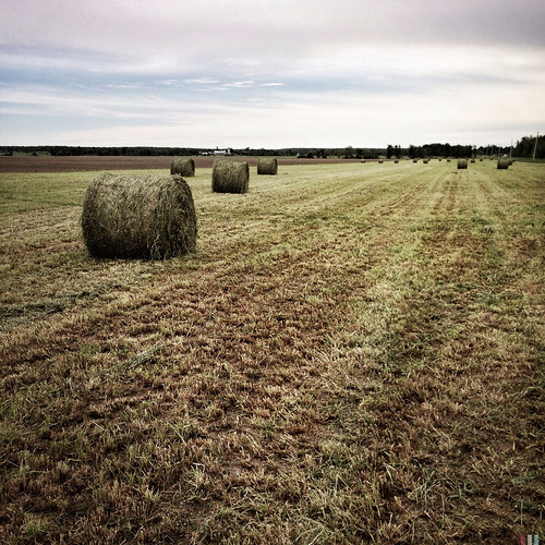
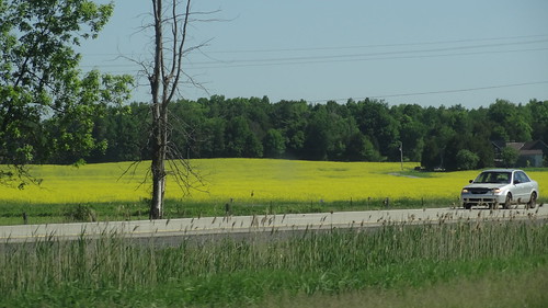
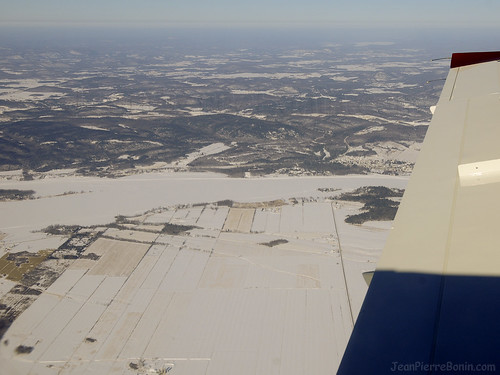
Elevation of Regional Rd 10, St-Bernardin, ON K0B 1N0, Canada
Location: Canada > Ontario > Prescott And Russell United Counties > The Nation Municipality > St-bernardin >
Longitude: -74.833222
Latitude: 45.4598964
Elevation: 66m / 217feet
Barometric Pressure: 101KPa
Related Photos:
Topographic Map of Regional Rd 10, St-Bernardin, ON K0B 1N0, Canada
Find elevation by address:

Places near Regional Rd 10, St-Bernardin, ON K0B 1N0, Canada:
St-bernardin
1181 Concession Rd 6
Fournier
35 Arena St, Saint Isidore, ON K0C 2B0, Canada
Ridge Rd, Fournier, ON K0B 1G0, Canada
Saint Isidore
Alfred
County Rd 17, Alfred, ON K0B 1A0, Canada
Alfred And Plantagenet
Deguire Sideroad, Vankleek Hill, ON K0B 1R0, Canada
Concession 4 North
Concession Rd 1, Vankleek Hill, ON K0B 1R0, Canada
The Nation Municipality
The Nation Municipality
The Nation Municipality
Concession 4 North
3100 Concession Rd 19
3100 Concession Rd 19
3100 Concession Rd 19
3100 Concession Rd 19
Recent Searches:
- Elevation of Corso Fratelli Cairoli, 35, Macerata MC, Italy
- Elevation of Tallevast Rd, Sarasota, FL, USA
- Elevation of 4th St E, Sonoma, CA, USA
- Elevation of Black Hollow Rd, Pennsdale, PA, USA
- Elevation of Oakland Ave, Williamsport, PA, USA
- Elevation of Pedrógão Grande, Portugal
- Elevation of Klee Dr, Martinsburg, WV, USA
- Elevation of Via Roma, Pieranica CR, Italy
- Elevation of Tavkvetili Mountain, Georgia
- Elevation of Hartfords Bluff Cir, Mt Pleasant, SC, USA


