Elevation of Redwood Hwy, Wilderville, OR, USA
Location: United States > Oregon > Josephine County > Wilderville >
Longitude: -123.53600
Latitude: 42.364559
Elevation: 339m / 1112feet
Barometric Pressure: 97KPa
Elevation Map:
Satellite Map:
Related Photos:
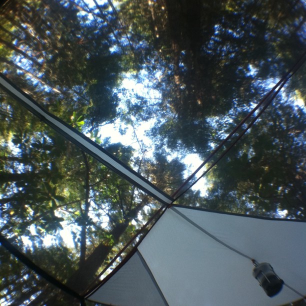
View from bed
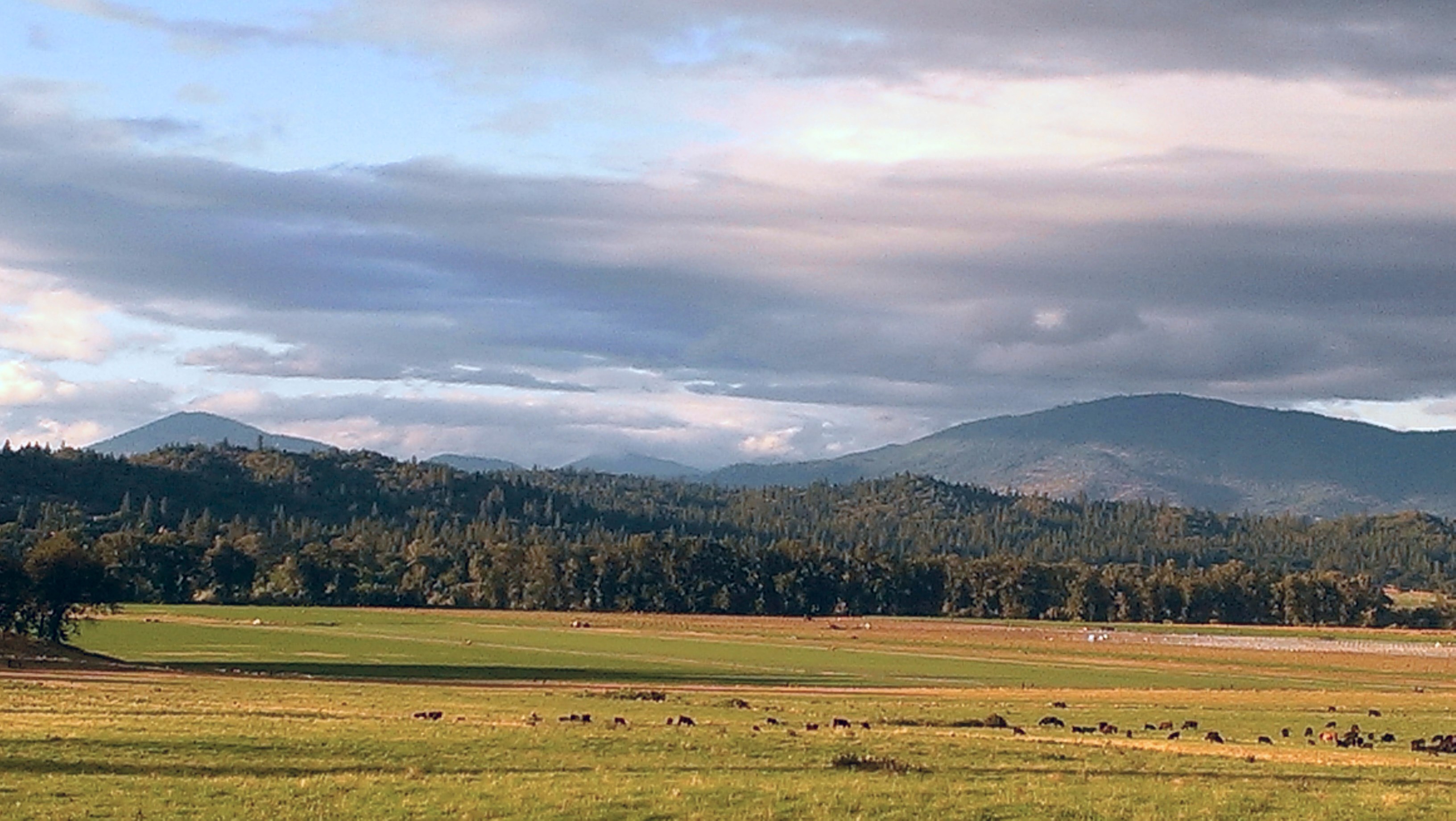
Dinsdale Farm

Gray Hairstreak (Strymon melinus)
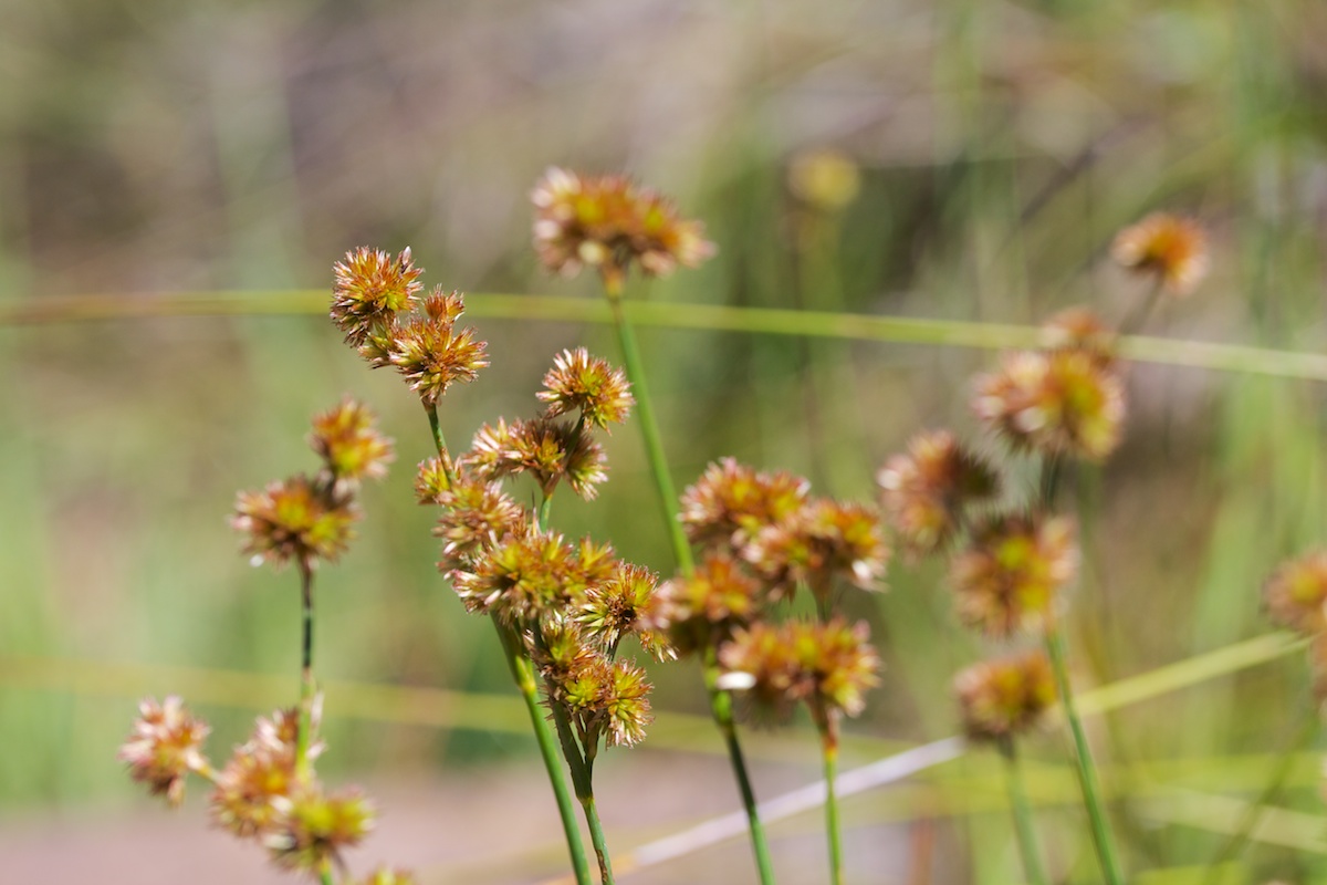
Juncus ensifolius (Juncaceae); Sword-leaved rush

Mountain Bluebird - Selma Oregon

Mystic in the Trees Selma Oregon MichaelOlsen/ZorkMagazine
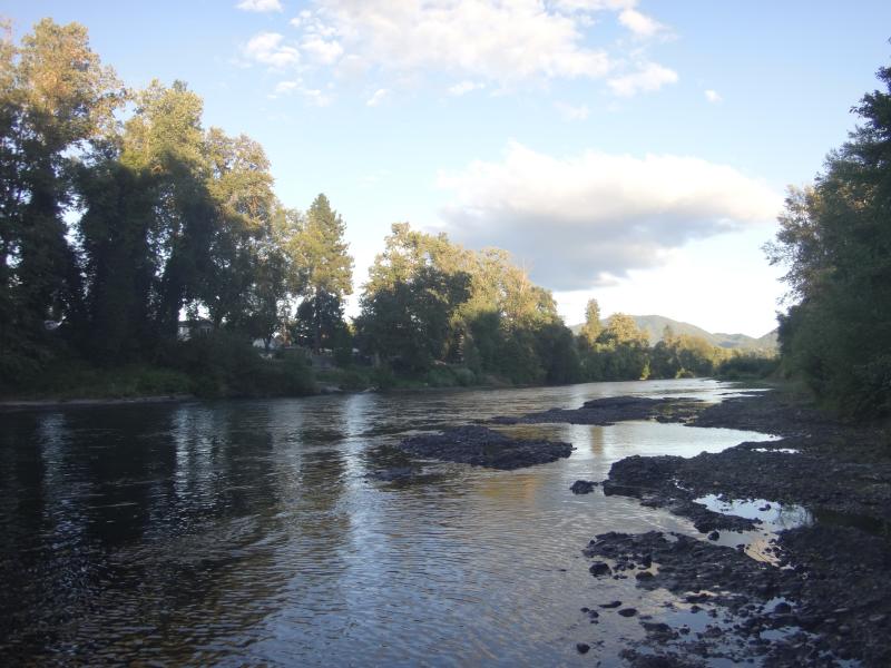
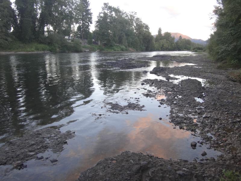
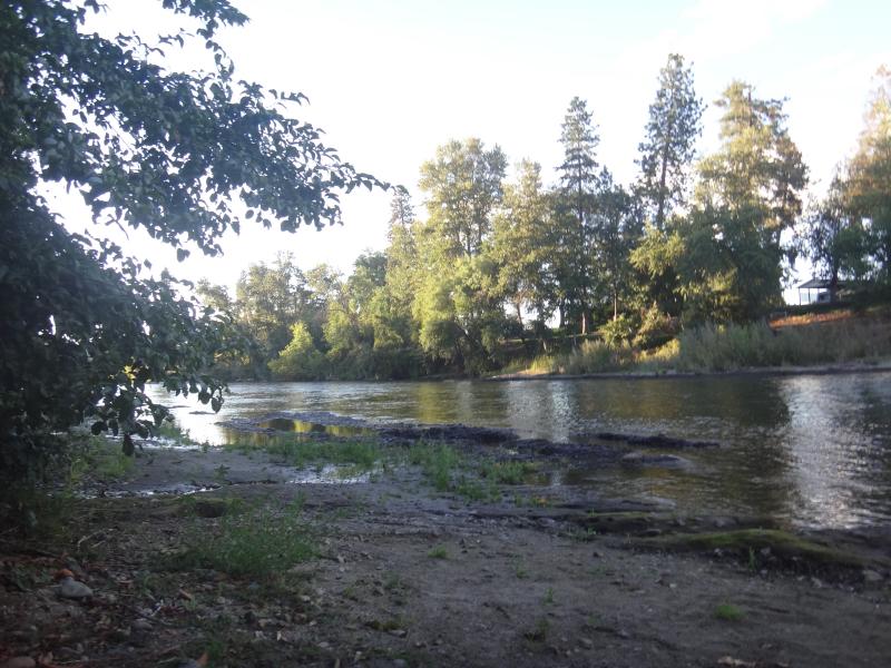
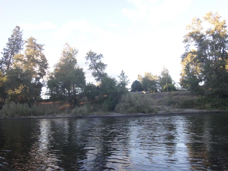
Rogue River Grants Pass Or. MichaelOlsen/ZorkMagazine
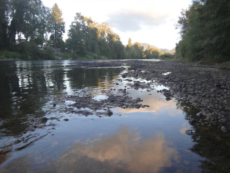
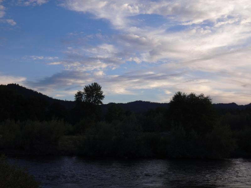
Rogue River Sunset Grants Pass, Oregon MichaelOlsen/ZorkMagazine
Rogue River Sunset Grants Pass, Oregon MichaelOlsen/ZorkMagazine
Rogue River Grants Pass Or. MichaelOlsen/ZorkMagazine
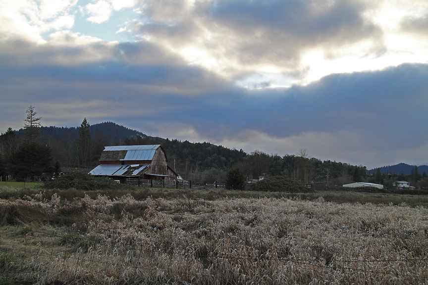
Barn Southwest of Grants Pass, Or
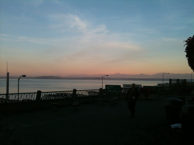
Pike market
Rogue River Sunset Grants Pass, Oregon MichaelOlsen/ZorkMagazine

Rogue River Sunset Grants Pass, Oregon MichaelOlsen/ZorkMagazine
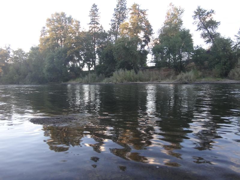
Rogue River Sunset Grants Pass, Oregon MichaelOlsen/ZorkMagazine
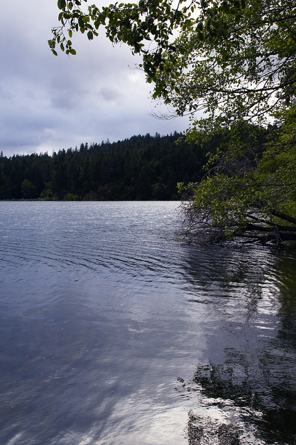
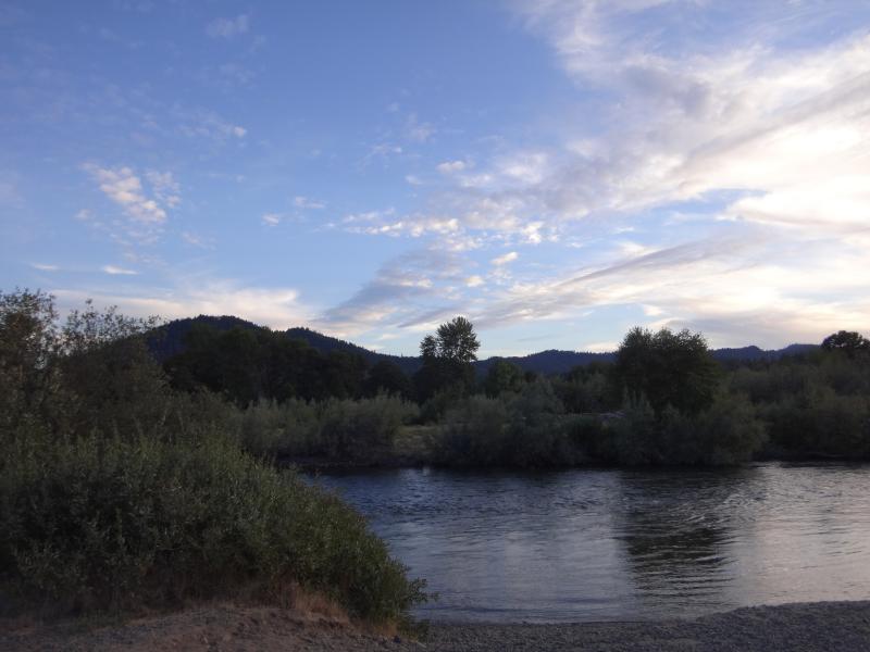
Selmac Shoreline Reflections - May 2011

Rogue River Sunset Grants Pass, Oregon MichaelOlsen/ZorkMagazine
Rogue River Sunset Grants Pass, Oregon MichaelOlsen/ZorkMagazine
Rogue River Sunset Grants Pass, Oregon MichaelOlsen/ZorkMagazine

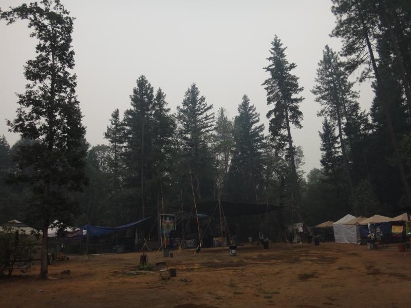
fall-fest_as2-05
Mystic In the Trees MichaelOlsen/ZorkMagazine
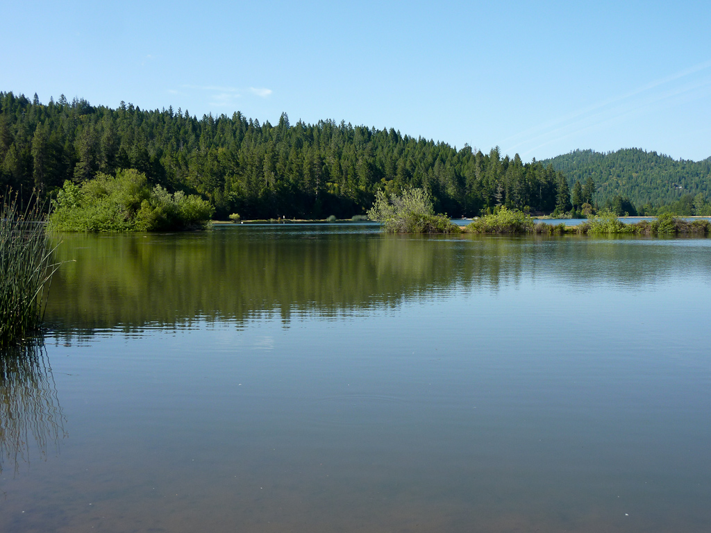
Lake Selmac
Topographic Map of Redwood Hwy, Wilderville, OR, USA
Find elevation by address:

Places near Redwood Hwy, Wilderville, OR, USA:
Wonder
701 Round Prairie Rd
1044 Dutcher Creek Rd
651 Dutcher Creek Rd
Wilderville
682 Dutcher Creek Rd
3165 Riverbanks Rd
5491 Redwood Ave
980 Sleepy Hollow Loop
843 Sleepy Hollow Loop
5100 Laurel Ave
Jerome Prairie Road
490 W Pickett Creek Rd
450 Pickett Creek Rd
4050 Leonard Rd
3615 Redwood Hwy
1269 Pickett Creek Rd
Barbara Drive
4611 Upper River Rd
336 Bickford Dr
Recent Searches:
- Elevation of Corso Fratelli Cairoli, 35, Macerata MC, Italy
- Elevation of Tallevast Rd, Sarasota, FL, USA
- Elevation of 4th St E, Sonoma, CA, USA
- Elevation of Black Hollow Rd, Pennsdale, PA, USA
- Elevation of Oakland Ave, Williamsport, PA, USA
- Elevation of Pedrógão Grande, Portugal
- Elevation of Klee Dr, Martinsburg, WV, USA
- Elevation of Via Roma, Pieranica CR, Italy
- Elevation of Tavkvetili Mountain, Georgia
- Elevation of Hartfords Bluff Cir, Mt Pleasant, SC, USA