Elevation of Redstone Drive, Rossland, BC V0G 1Y0, Canada

Location: Canada > British Columbia > Kootenay Boundary > Kootenay Boundary B > Rossland >

Longitude: -117.79522

Latitude: 49.0676763

Elevation: 878m / 2881feet

Barometric Pressure: 91KPa

Elevation Map:

elevation map of Redstone Drive, Rossland, BC V0G 1Y0, Canada

Satellite Map:

Satellite map of Redstone Drive, Rossland, BC V0G 1Y0, Canada

Related Photos:

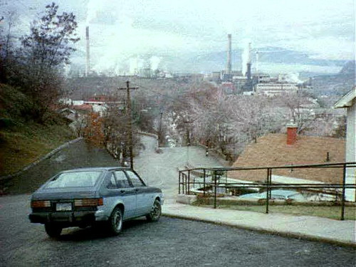
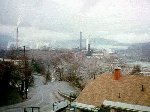
blue canada color colour building tree chevrolet industry car analog automobile bc britishcolumbia slidefilm best mining trail chevy vehicle 1995 favourite nineties teck kootenay smelter generalmotors chevette cominco seattlefilmworks canadagood thekootenays sfwdigital
38425_14 Smelter View, Trail BC 1995
View down the lift
View from Motherload lift
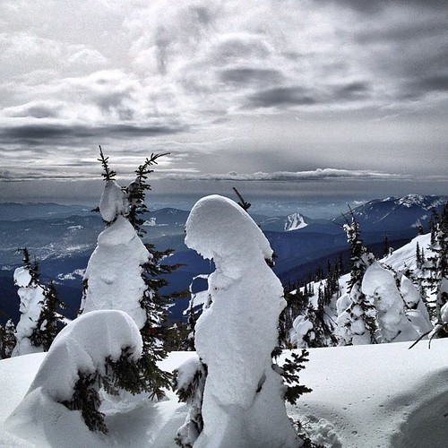
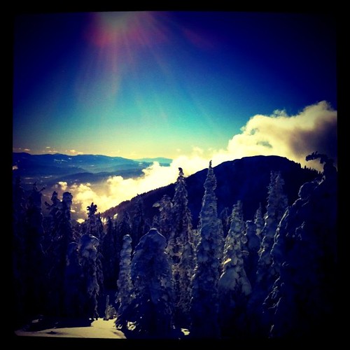
square squareformat iphoneography instagramapp uploaded:by=instagram foursquare:venue=4d2c2bc7467d6ea8e728e695
Top of Mt Pluto with a view of Red Mountain.
panorama house mountain canada color colour building industry industrial bc britishcolumbia trail teck kootenay 2010 smelter cominco canadagood thekootenays thisdecade
koot10c82 City Smelter Panorama, Trail, BC 2010
rossland skiingdownhill tourismbcblog
Skiing at Red Mountain in Rossland
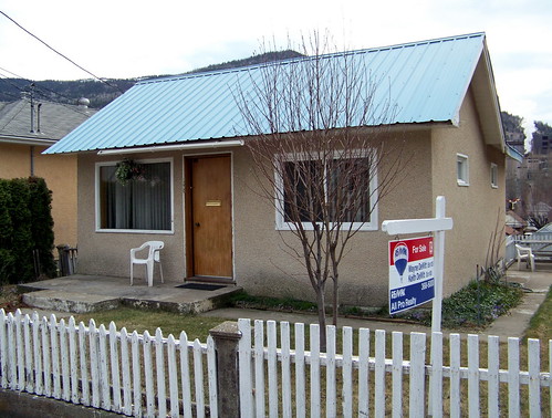
britishcolumbia bc kootenay thekootenays trail sign house 2010 afternoon blue colour color building red canadagood canada thisdecade text
koot10c80 Residential Real Estate, East Trail, BC 2010
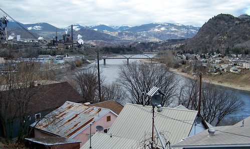
bridge house mountain canada color colour building industry river industrial afternoon bc britishcolumbia trail columbiariver teck kootenay 2010 smelter cominco canadagood thekootenays thisdecade
koot10c54 Columbia River View, Trail, BC 2010
dogsledding rossland tourismbcblog
Powder Paws in Rossland
View from Motherload lift
house mountain canada color colour building industry industrial afternoon bc britishcolumbia powerlines trail teck kootenay 2010 smelter cominco canadagood thekootenays thisdecade
koot10c71 Warfield Smelter View, Trail, BC 2010
house mountain canada color colour building afternoon bc pavement britishcolumbia powerlines trail kootenay 2010 canadagood thekootenays thisdecade
koot10c61 Steep Residential Street, Trail, BC 2010
canada color colour building tree industry analog river bc britishcolumbia slidefilm mining trail columbiariver 1995 nineties teck kootenay smelter cominco seattlefilmworks canadagood thekootenays sfwdigital
38425_09 Smelter View, Trail BC 1995
View of Rinos Run after one of my many stacks
Montrose view
canada riding mtb rosslandbc kootneys explorebc
Over looking a beautiful view while #MTB #riding in #RosslandBC #Kootneys #Canada #exploreBC
panorama ride mtb rosslandbc kootneys explorebc
Same view as before only in a #panorama #RosslandBC #Kootneys #MTB #ride #exploreBC
olympusm1240mmf28
2016-04-19 17;53;45
Shine a light
square squareformat iphoneography instagramapp uploaded:by=instagram foursquare:venue=4d2c2bc7467d6ea8e728e695
More clouds through the hole in the clouds! Great skiing today. #nofilter
Beautiful day on the hill
red panorama snow canada ski rockies snowboarding paradise skiing bc britishcolumbia pano panoramic snowboard rockymountains kootenays kootenay redmountain iphone rossland rockiemountains granitemountain mountroberts redresort redmountainresort iphonography kootenayrockies iphoneography paradisebasin
Sunshine Snow Paradise Pano
Granite Mountain
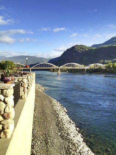
bridge columbiariver photostream venues selkirkmountains selkirks selkirkloop trailbc
Trail, BC
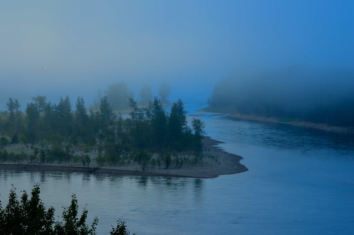
blue sandbar fork myst selkirkmountains selkirks kootenayriver selkirkloop
Columbia River
DJI00306 copy
roadtrip vacation trail britishcolumbia canada ca
Road Trip to Nelson-10
elementsorganizer11
7 summits, Rossland (3)_edited-1.jpg
Red Mountain Road Trip
olympusm1240mmf28
2016-04-19 17;52;39
Red Mountain Road Trip
railroad canada train bc railway freight waneta p1130037 kettlefallsinternational
Columbia River Valley Near Waneta BC
Red mountain.
bridge river highway railway columbiariver penddoreilleriver p1130044
Confluence of the Pend d'Oreille and Columbia Rivers
Red Mountain Road Trip