Elevation of Red Rock, TX, USA
Location: United States > Texas > Bastrop County >
Longitude: -97.446105
Latitude: 29.9596656
Elevation: 149m / 489feet
Barometric Pressure: 100KPa
Elevation Map:
Satellite Map:
Related Photos:
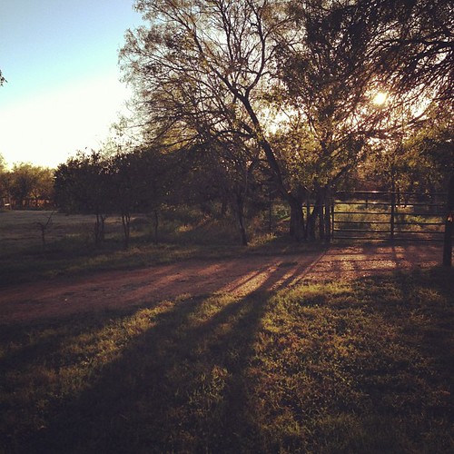
also, we found a pretty dope spot 15 min. from the track to spend the weekend. this is the view from our deck.
2007Excal-14

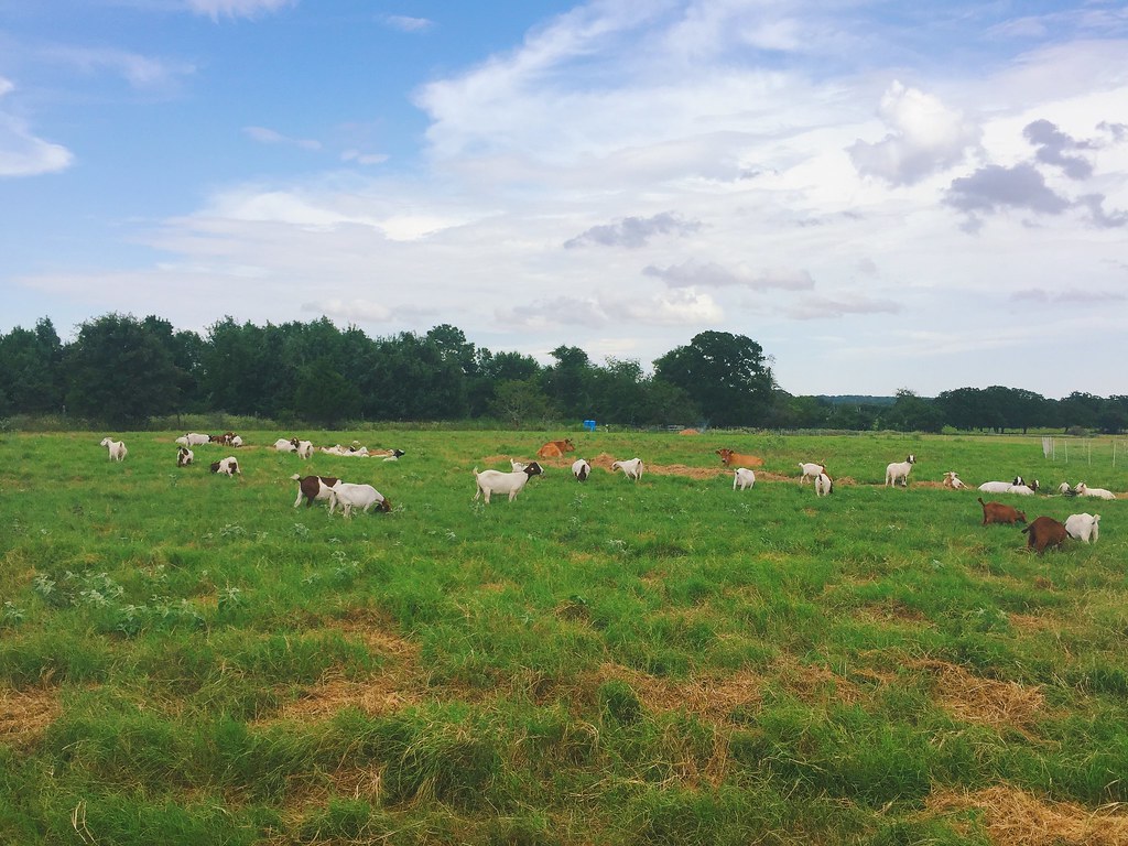
Texas Farm Country

Man Made
Fruitful Hill Farm

Old Red Rock Cemetery

Vesper Sparrow

IMG_2920 - Ring of Fire Putting Games

IMG_3022 - Hole #7 "Stargate"

2007Excal-12

RR Fun

Hwy 20 near bastrop
Topographic Map of Red Rock, TX, USA
Find elevation by address:

Places near Red Rock, TX, USA:
Taylorsville Rd, Dale, TX, USA
476 Wilhelm Way
1198 Walter Hoffman Rd
Shetland Trail
Clydesdale Drive
131 Live Oak Dr
Main St, Dale, TX, USA
Dale
Bastrop County
Mcmahan
Cedar Creek
1260 Tx-304
Lake View Drive
955 Co Rd 250
230 Woodlands Dr
212 Margies Way
100 Abamillo Dr
Wyldwood
48 County Line Rd, Dale, TX, USA
100 Hawea Ln
Recent Searches:
- Elevation of Corso Fratelli Cairoli, 35, Macerata MC, Italy
- Elevation of Tallevast Rd, Sarasota, FL, USA
- Elevation of 4th St E, Sonoma, CA, USA
- Elevation of Black Hollow Rd, Pennsdale, PA, USA
- Elevation of Oakland Ave, Williamsport, PA, USA
- Elevation of Pedrógão Grande, Portugal
- Elevation of Klee Dr, Martinsburg, WV, USA
- Elevation of Via Roma, Pieranica CR, Italy
- Elevation of Tavkvetili Mountain, Georgia
- Elevation of Hartfords Bluff Cir, Mt Pleasant, SC, USA