Elevation of Red Marble Rd, Chewelah, WA, USA
Location: United States > Washington > Stevens County > Chewelah >
Longitude: -117.82992
Latitude: 48.2175059
Elevation: 643m / 2110feet
Barometric Pressure: 94KPa
Elevation Map:
Satellite Map:
Related Photos:
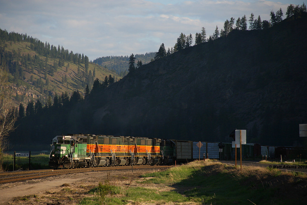
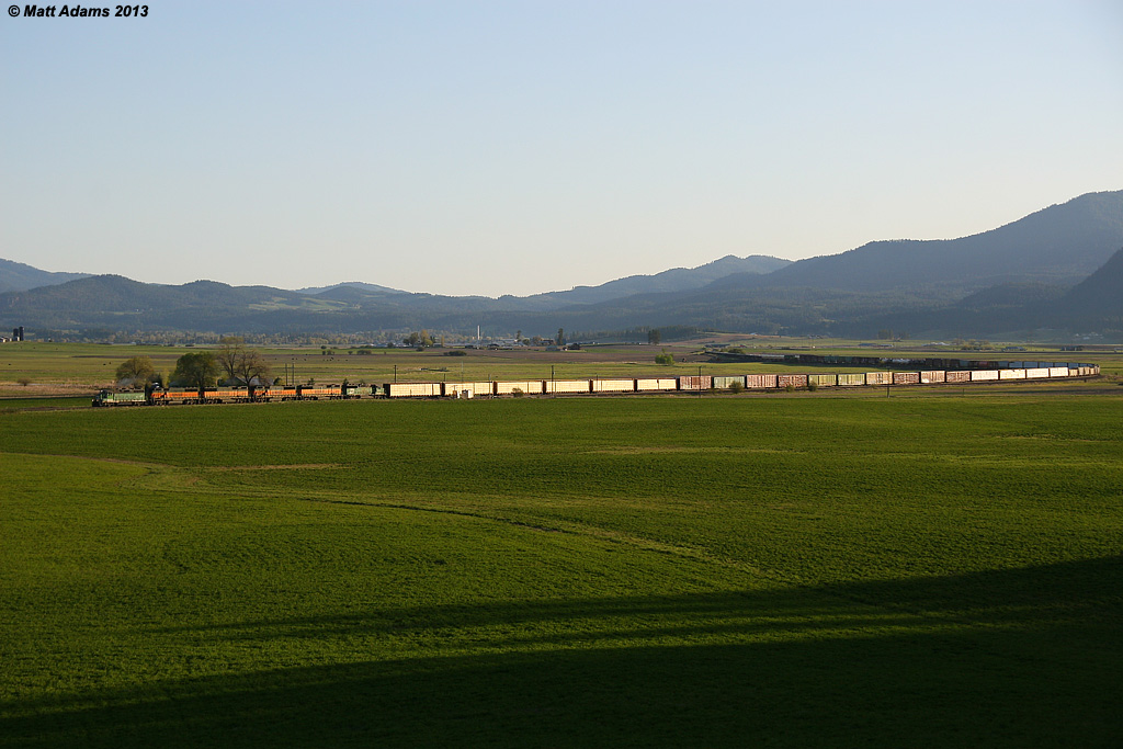
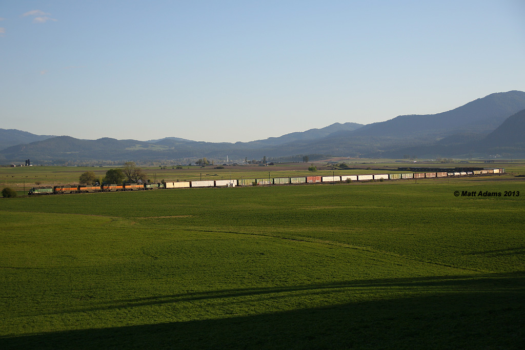
BNSF M-CWHSPO1-03A
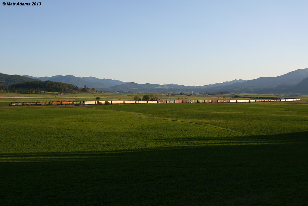
Arriving Valley (1)
Curvy Yard Limits
01d897c59c23ee528c4959b5b04c2eb2cc8d90412c-2
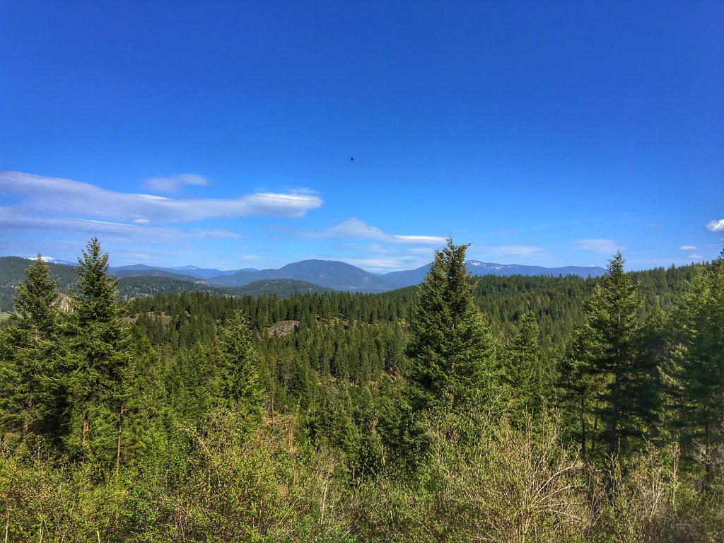
North East Washington
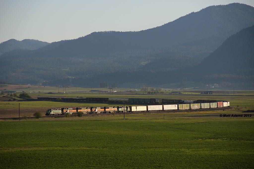
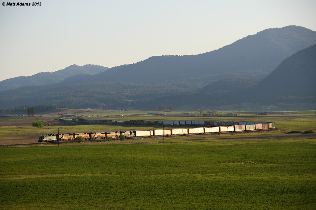
Chewelah Turn...part 2!
Stevens County,WA
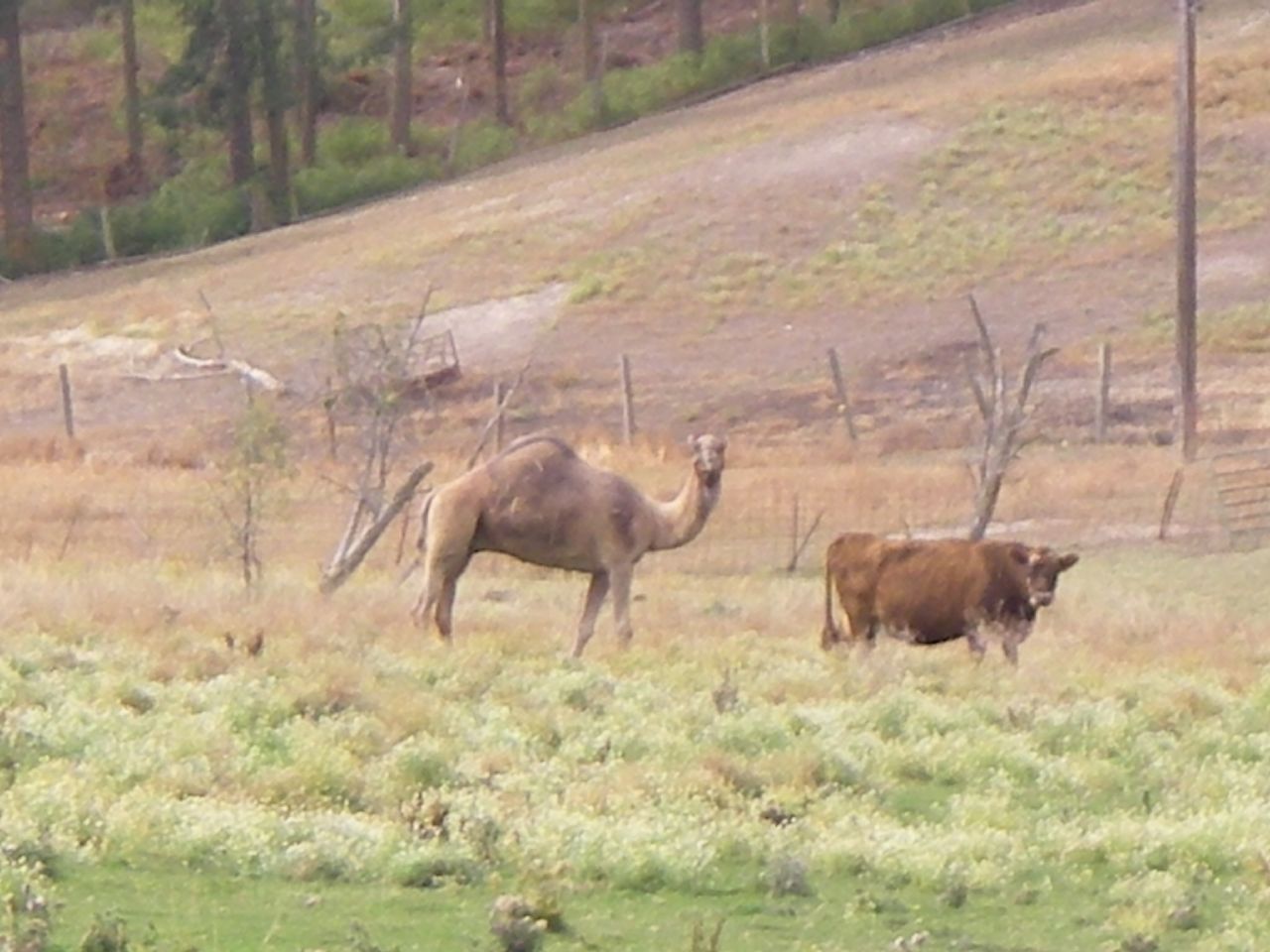
Ummm...yes. A camel.

Lone Tree in Yellow
Chewelah Valley

Barnyard Turn
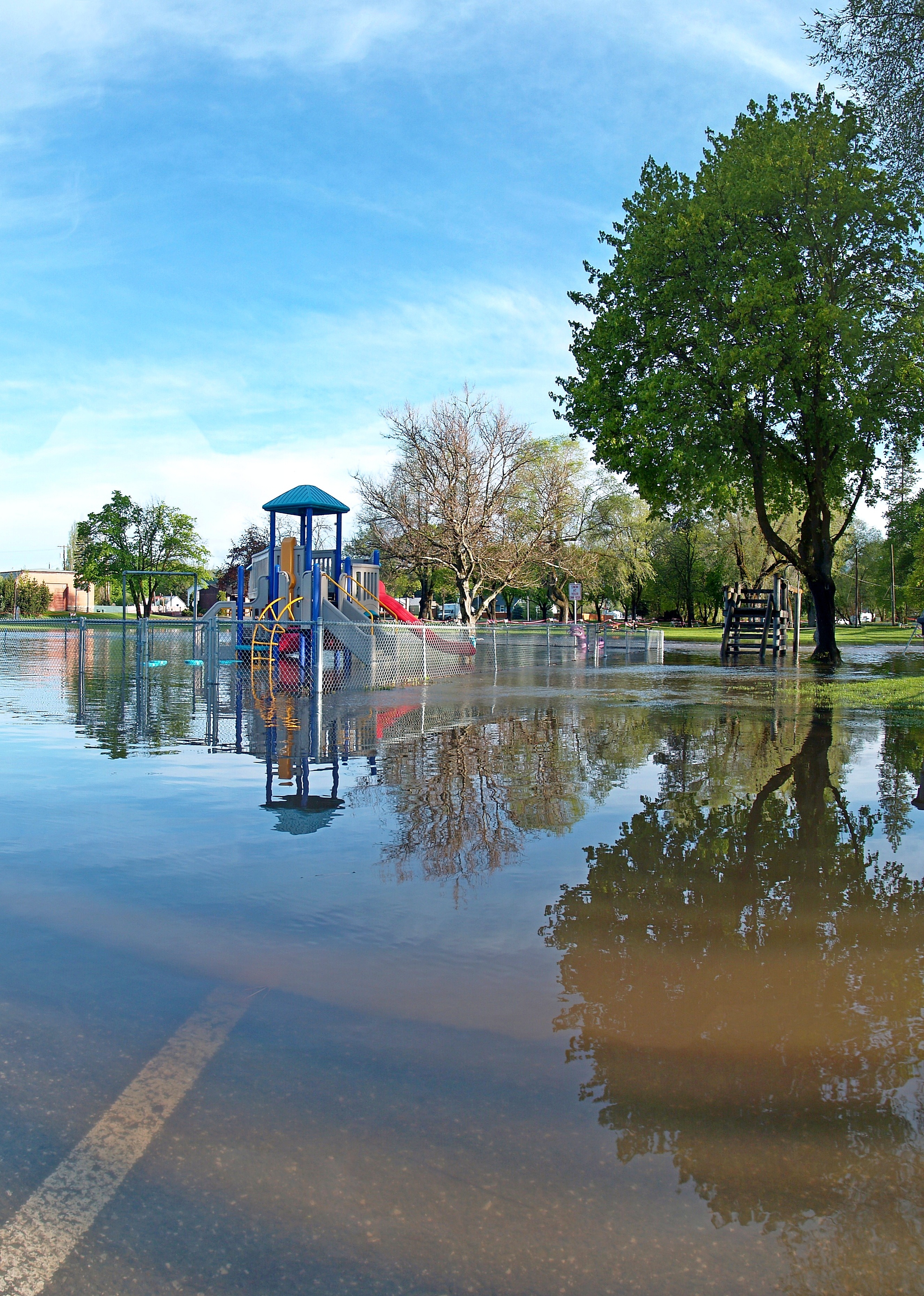
Wading Pool

Barn HDR
Topographic Map of Red Marble Rd, Chewelah, WA, USA
Find elevation by address:

Places near Red Marble Rd, Chewelah, WA, USA:
Schmidlekofer Road
U.s. 395
Valley
Chewelah
206 W Franklin Ave
Sand Canyon Airport
110 Richmond Ln
Jenkins High School
Addy
2312 Burnt Valley Rd
4027b Hesseltine Rd
Highline Rd, Chewelah, WA, USA
4583 Springdale Hunters Rd
1167 Mclean Rd
2763 Highline Rd
4121 Springdale Hunters Rd
Springdale
5226 Springdale Hunters Rd
786 Arden Butte Rd
Stevens County
Recent Searches:
- Elevation of Corso Fratelli Cairoli, 35, Macerata MC, Italy
- Elevation of Tallevast Rd, Sarasota, FL, USA
- Elevation of 4th St E, Sonoma, CA, USA
- Elevation of Black Hollow Rd, Pennsdale, PA, USA
- Elevation of Oakland Ave, Williamsport, PA, USA
- Elevation of Pedrógão Grande, Portugal
- Elevation of Klee Dr, Martinsburg, WV, USA
- Elevation of Via Roma, Pieranica CR, Italy
- Elevation of Tavkvetili Mountain, Georgia
- Elevation of Hartfords Bluff Cir, Mt Pleasant, SC, USA