Elevation of Red Conglomerate Peaks South, Idaho, USA
Location: United States > Idaho > Clark County >
Longitude: -112.6
Latitude: 44.4847222
Elevation: 3032m / 9947feet
Barometric Pressure: 70KPa
Elevation Map:
Satellite Map:
Related Photos:
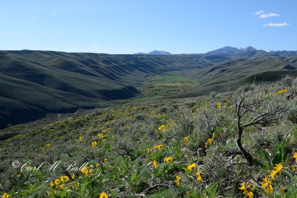
Spring @ Middle Creek 2935_766-f

Welcome to Montana

Welcome to Montana

Near Lima, ID

Impassable When Wet

Whitetail Twins

Western Black Swallowtail

Western Black Swallowtail
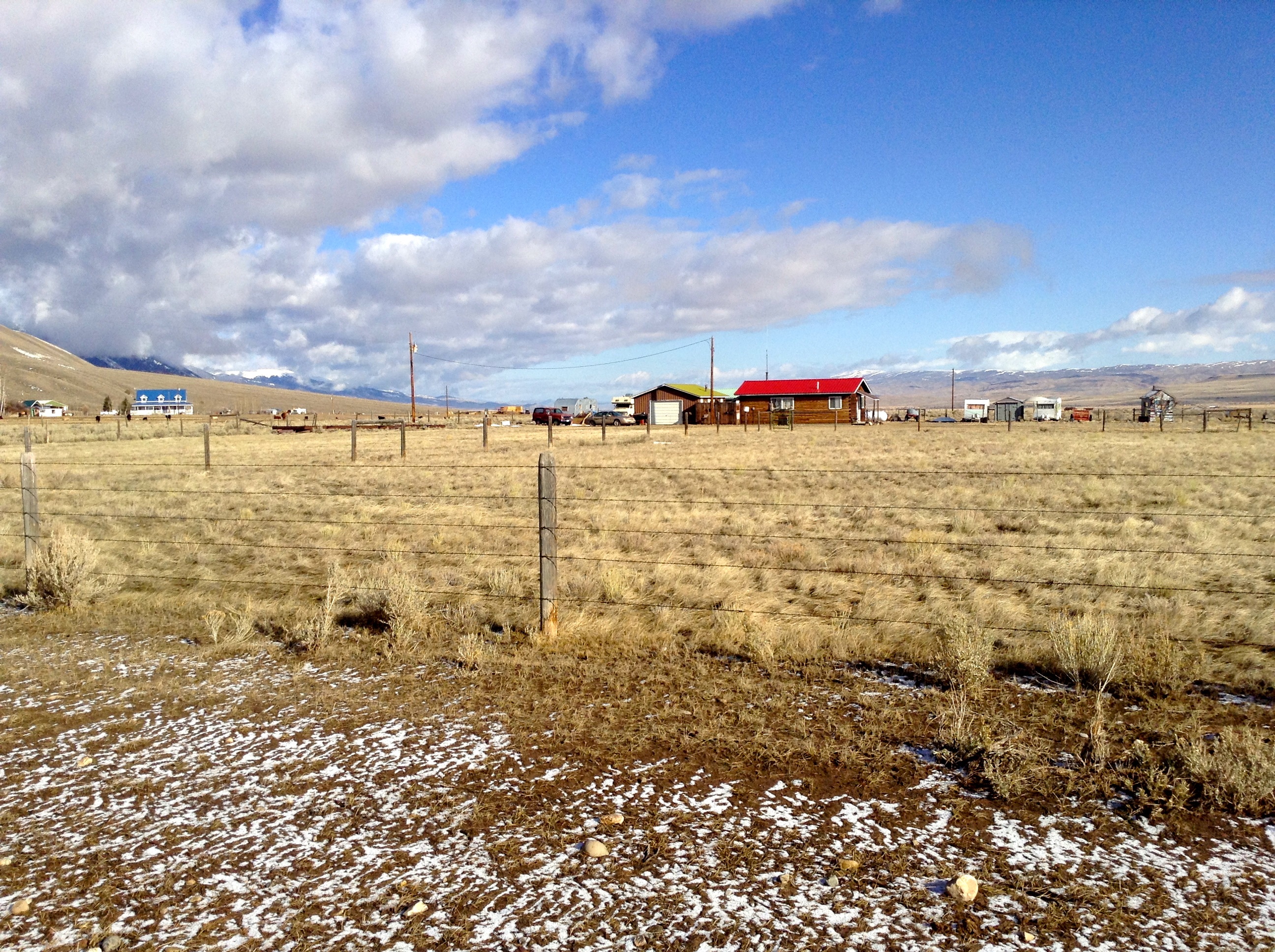
Near Lima, ID

Blue Grouse Hen
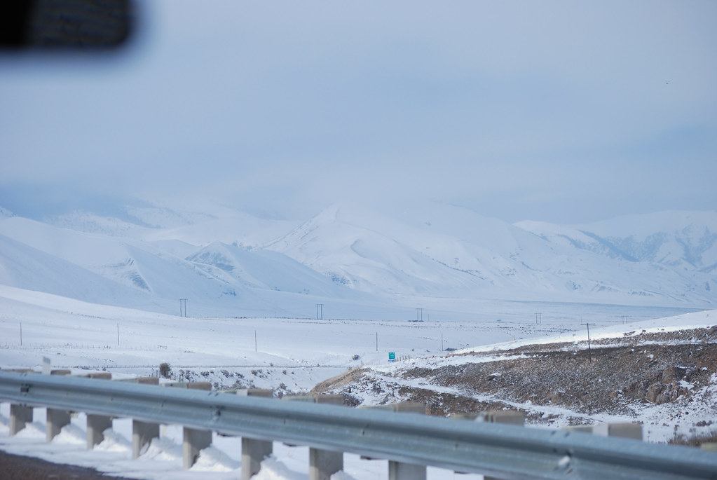
Lots of Snow
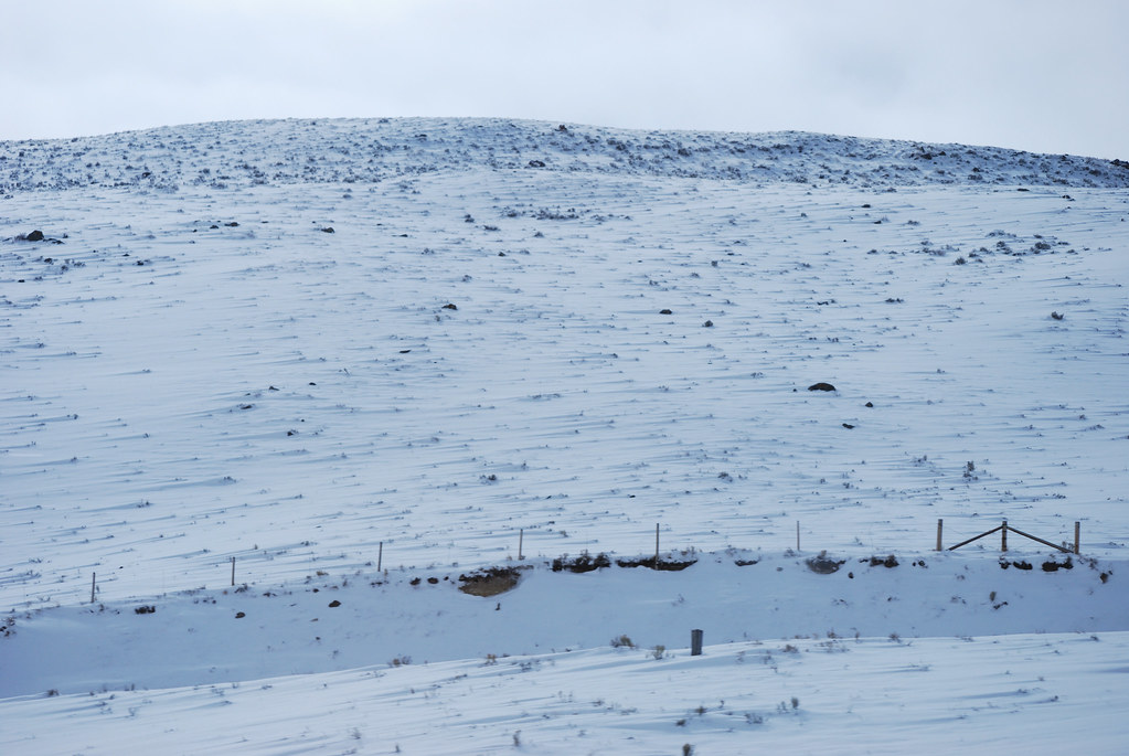
Snowy Hill
Topographic Map of Red Conglomerate Peaks South, Idaho, USA
Find elevation by address:

Places near Red Conglomerate Peaks South, Idaho, USA:
Garfield Mountain
Lima Peaks West
Lima Peaks East
3574 Middle Fork Little Sheep Creek
114 S Harrison St
Lima
Fritz Creek Trailhead
Fritz Peak
White Pine Ridge
Heart Mountain
Dell
Scott Peak
Dixon Mountain
Italian Peak
Horse Ridge
Bluebird Mountain
Copper Mountain
Eighteenmile Peak
Red Rock
N E, Monteview, ID, USA
Recent Searches:
- Elevation of Corso Fratelli Cairoli, 35, Macerata MC, Italy
- Elevation of Tallevast Rd, Sarasota, FL, USA
- Elevation of 4th St E, Sonoma, CA, USA
- Elevation of Black Hollow Rd, Pennsdale, PA, USA
- Elevation of Oakland Ave, Williamsport, PA, USA
- Elevation of Pedrógão Grande, Portugal
- Elevation of Klee Dr, Martinsburg, WV, USA
- Elevation of Via Roma, Pieranica CR, Italy
- Elevation of Tavkvetili Mountain, Georgia
- Elevation of Hartfords Bluff Cir, Mt Pleasant, SC, USA