Elevation of Red Apple Rd, Wenatchee, WA, USA
Location: United States > Washington > Chelan County > Wenatchee >
Longitude: -120.33225
Latitude: 47.4079372
Elevation: 271m / 889feet
Barometric Pressure: 98KPa
Elevation Map:
Satellite Map:
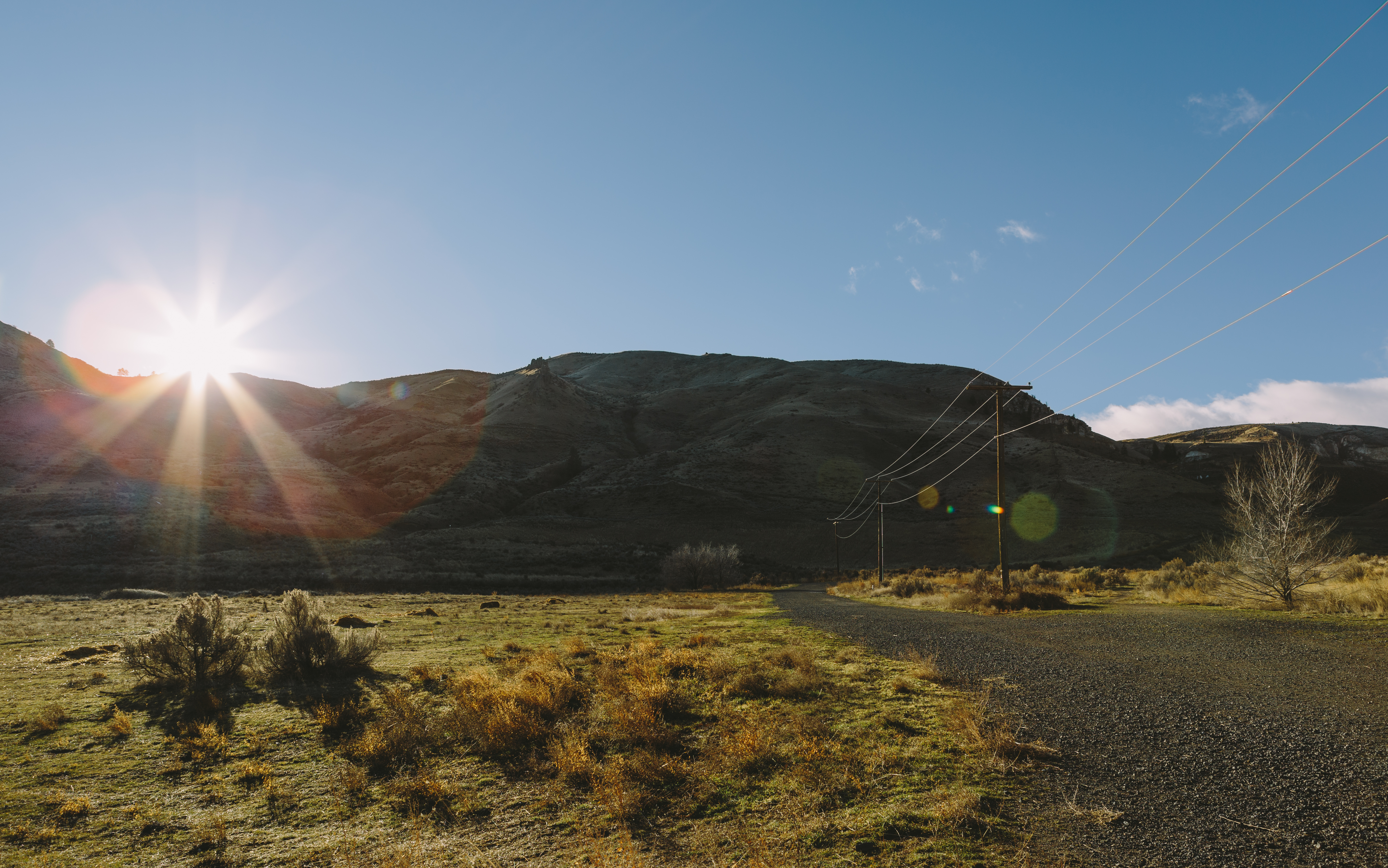
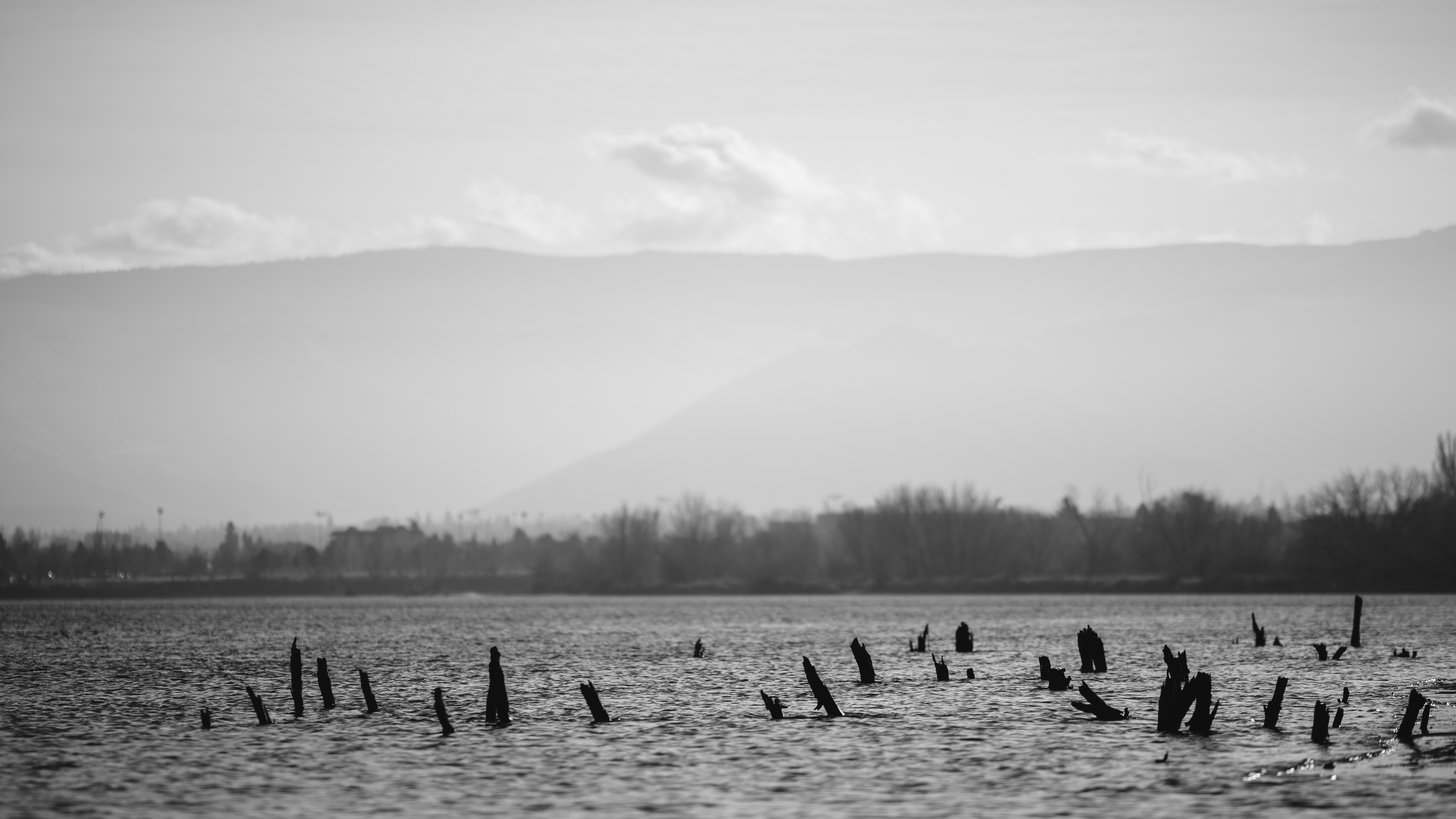
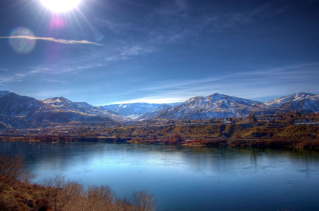
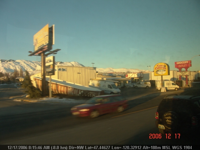
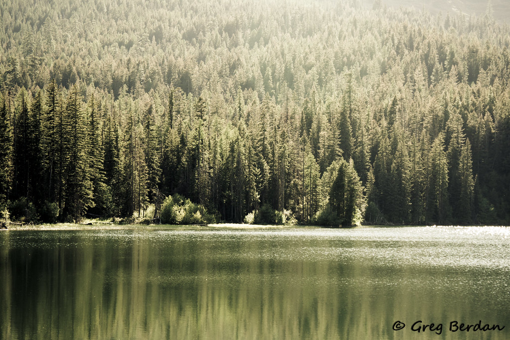
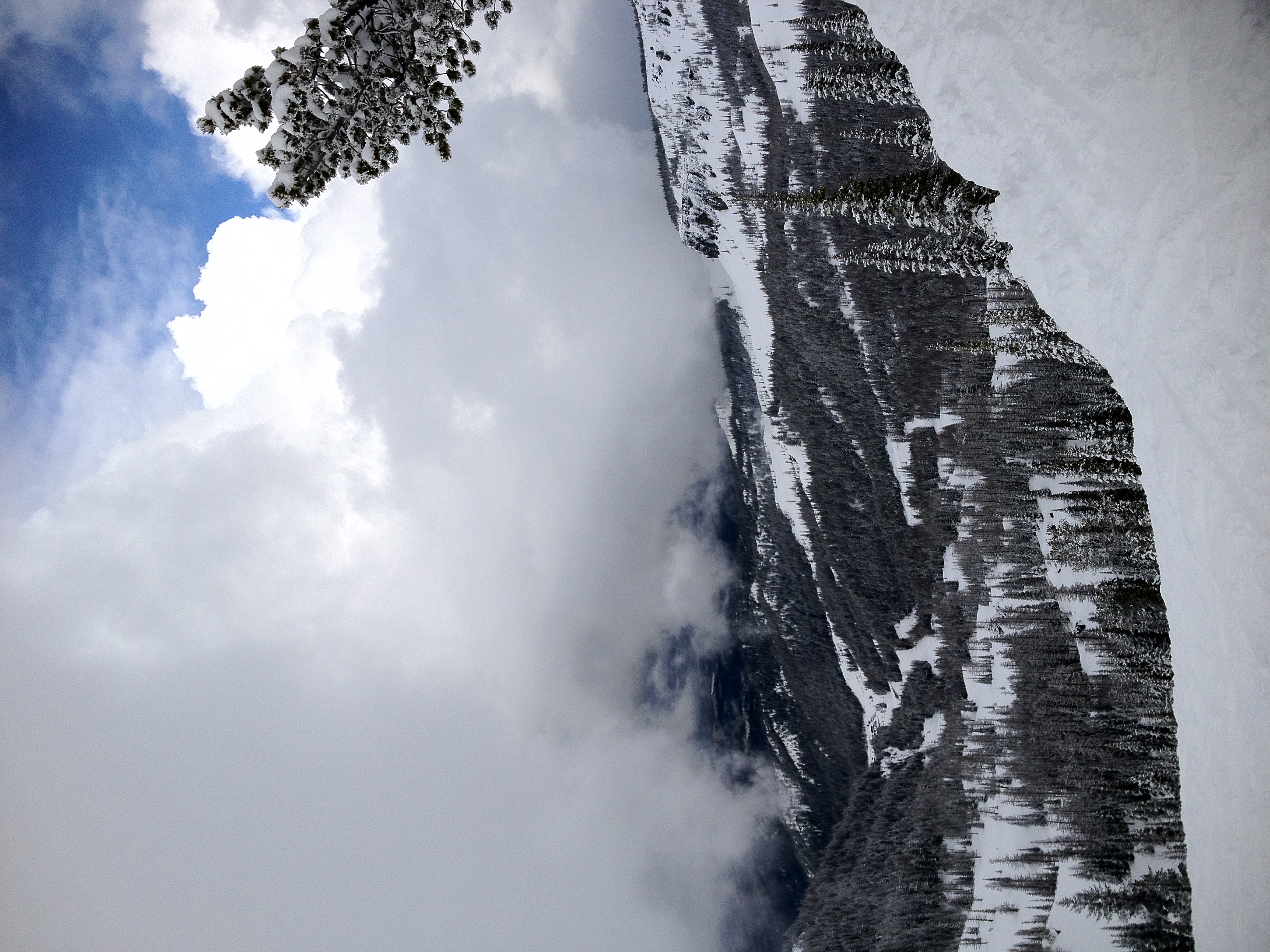
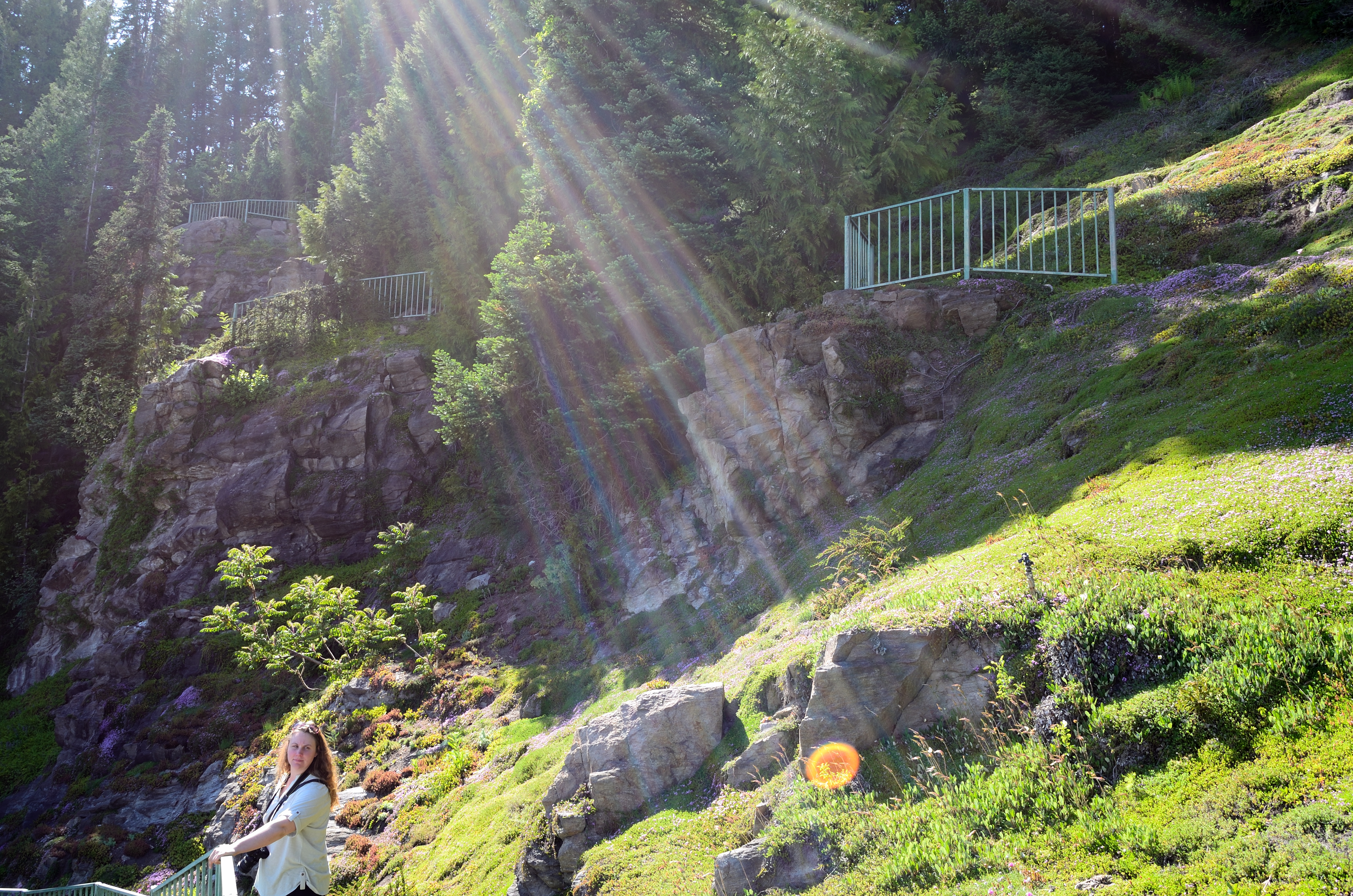
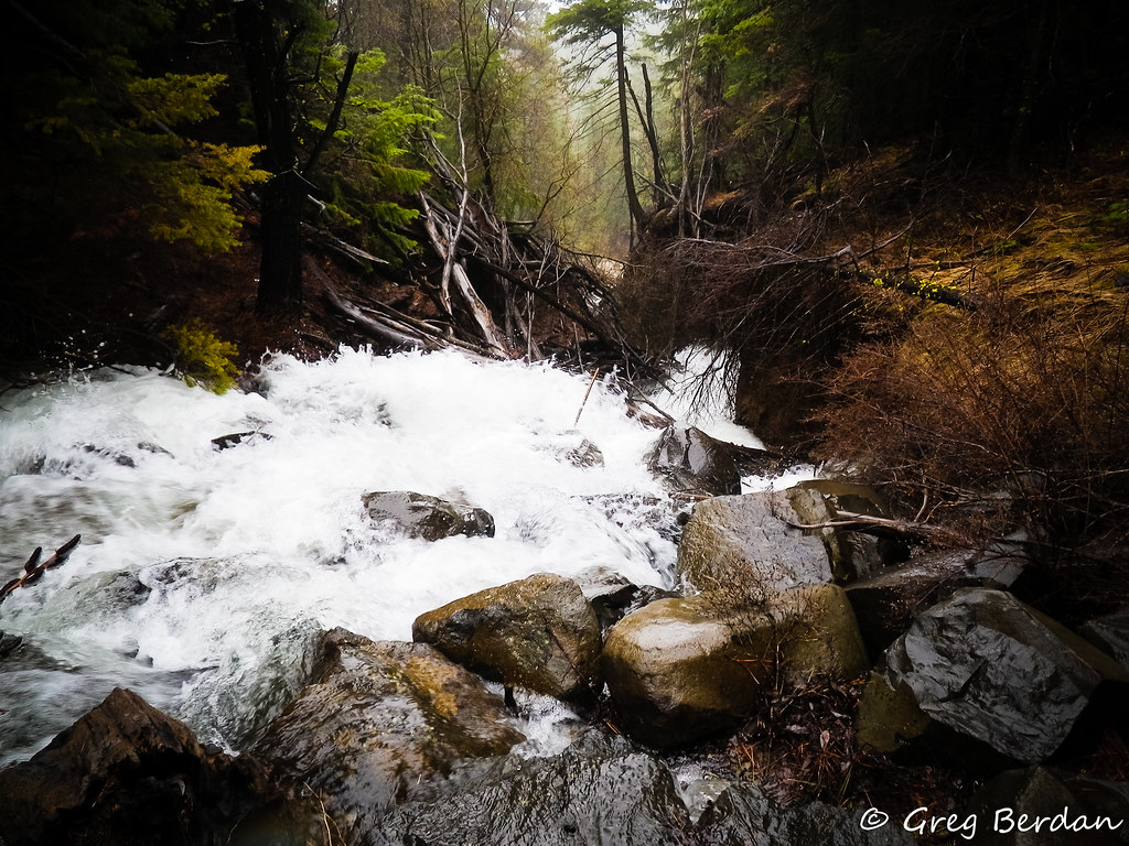
Related Photos:
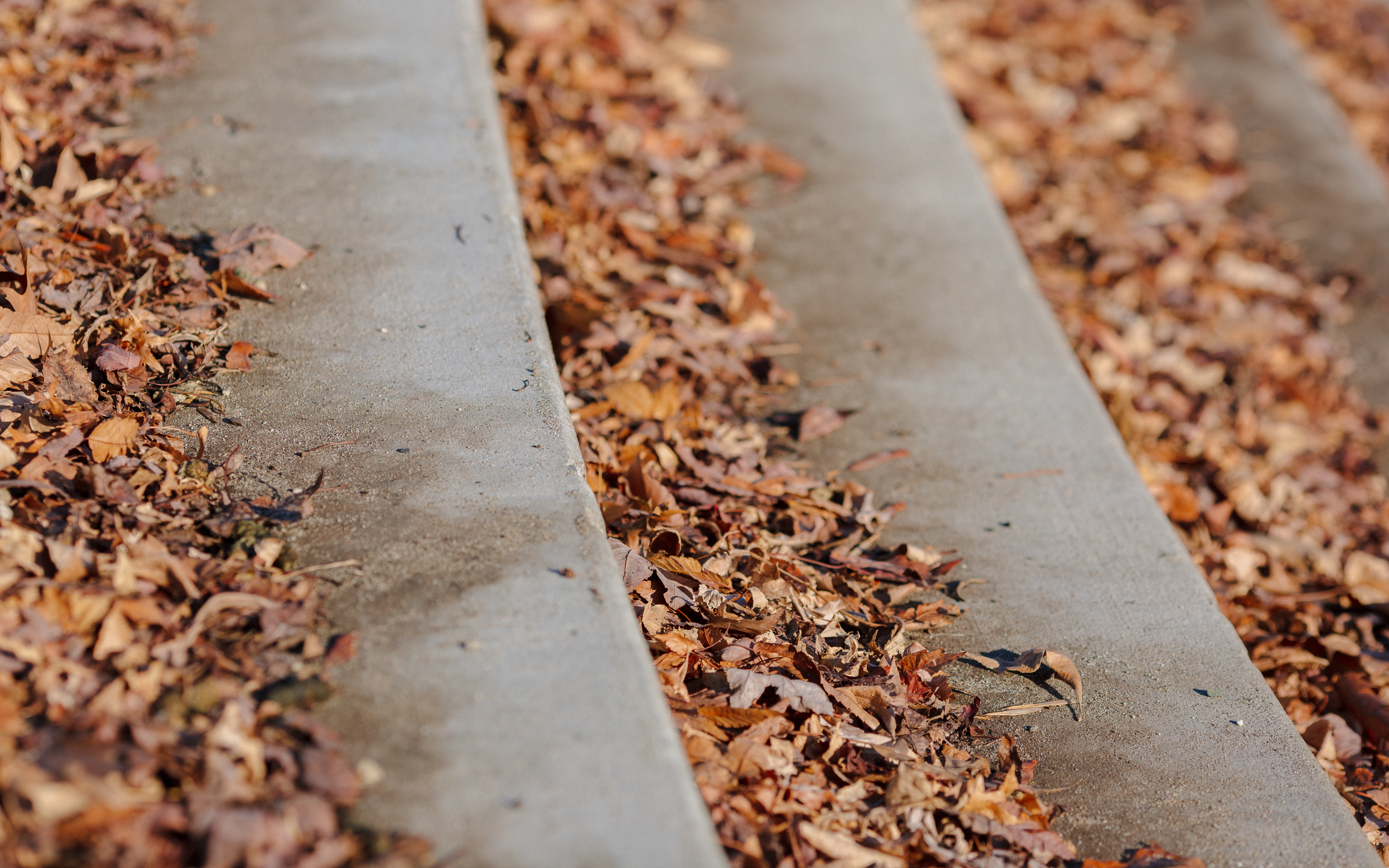
Autumn Relaxing On The Steps
Put There By The Land
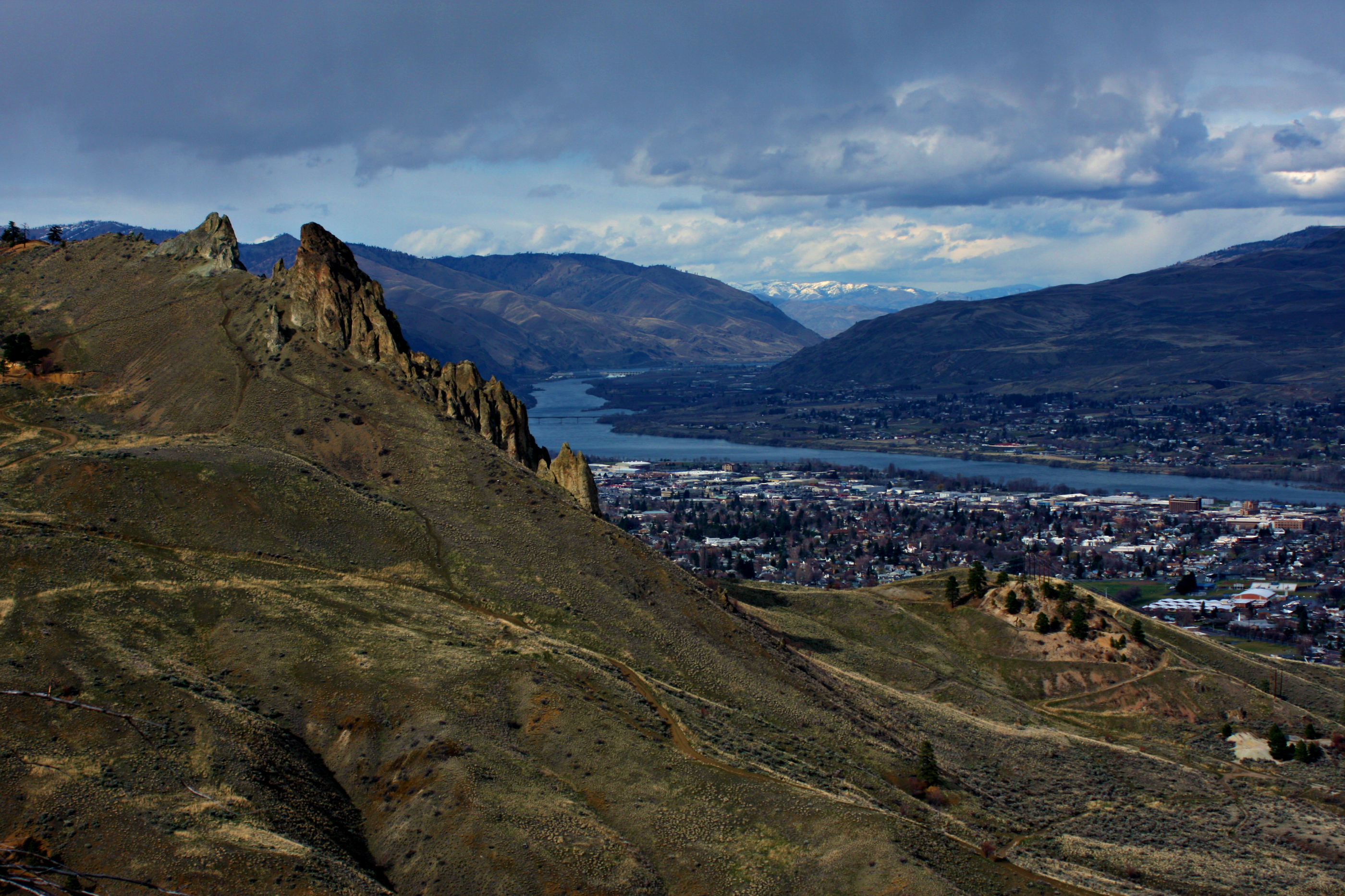
Overlooking Saddlerock

Frazzled - Explored

Happy 2014
We Will Rise
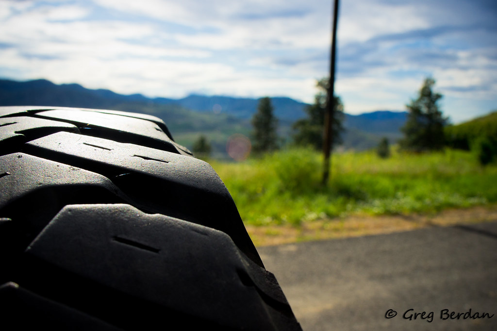
Spare a glance
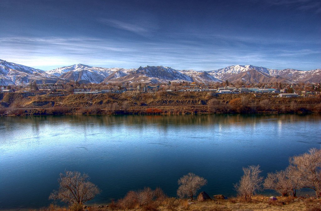
Wenatchee Valley View II
Wenatchee Valley View
LV0822DSC00204.JPG

Processed Post
LV0823DSC00205.JPG
View of Halverson Canyon
LV0850DSC00232.JPG
LV0833DSC00215.JPG
LV0816DSC00198.JPG
LV0815DSC00197.JPG
LV0824DSC00206.JPG
LV0844DSC00226.JPG

LV0860DSC00242.JPG

LV0830DSC00212.JPG
Close together - Explored

Chasing rainbows 13/52

Lincon Rock Park.
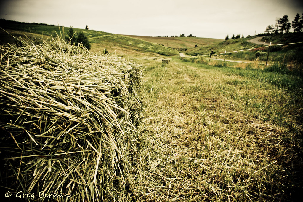
Between bales
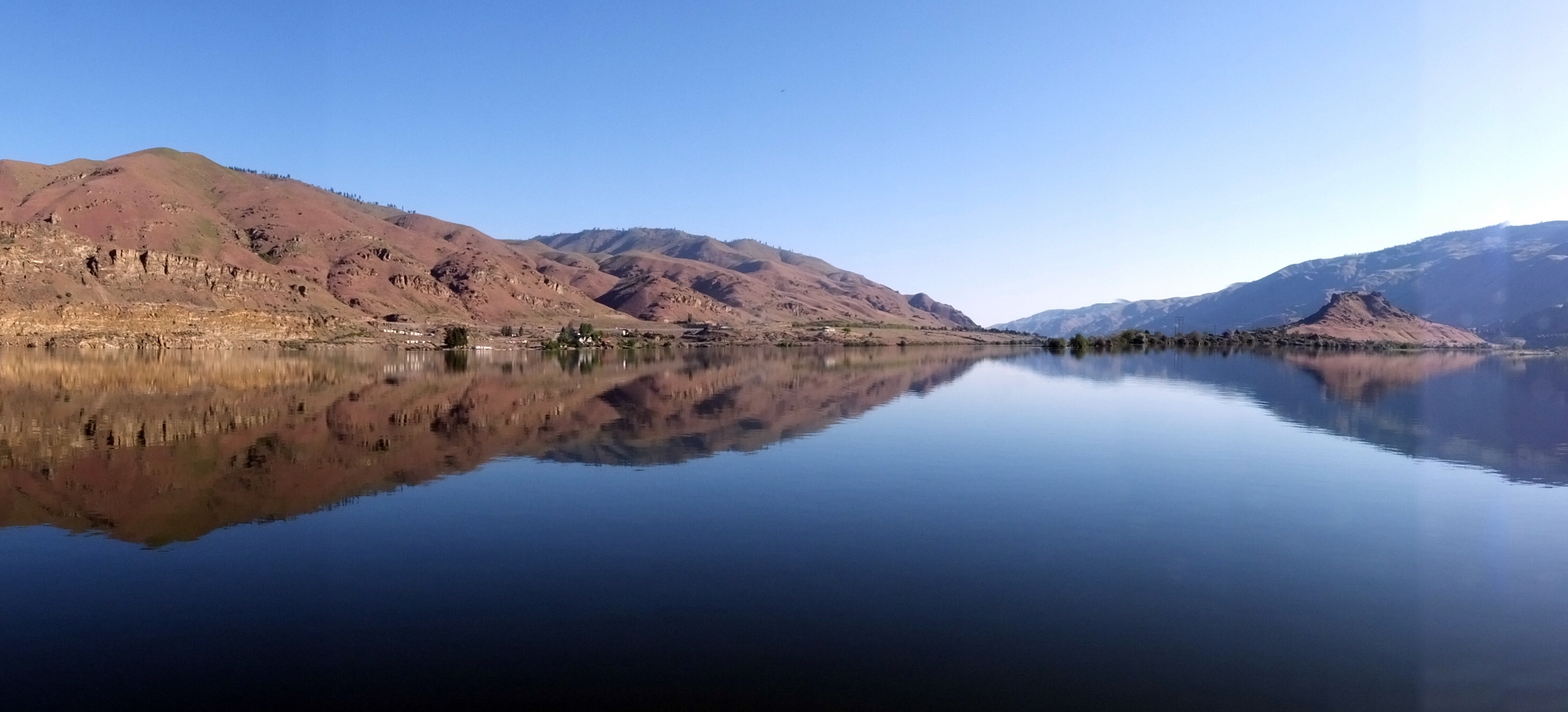
Columbia River Reflection

Saddle Rock

Peeling on Texture
IMG_1195.JPG
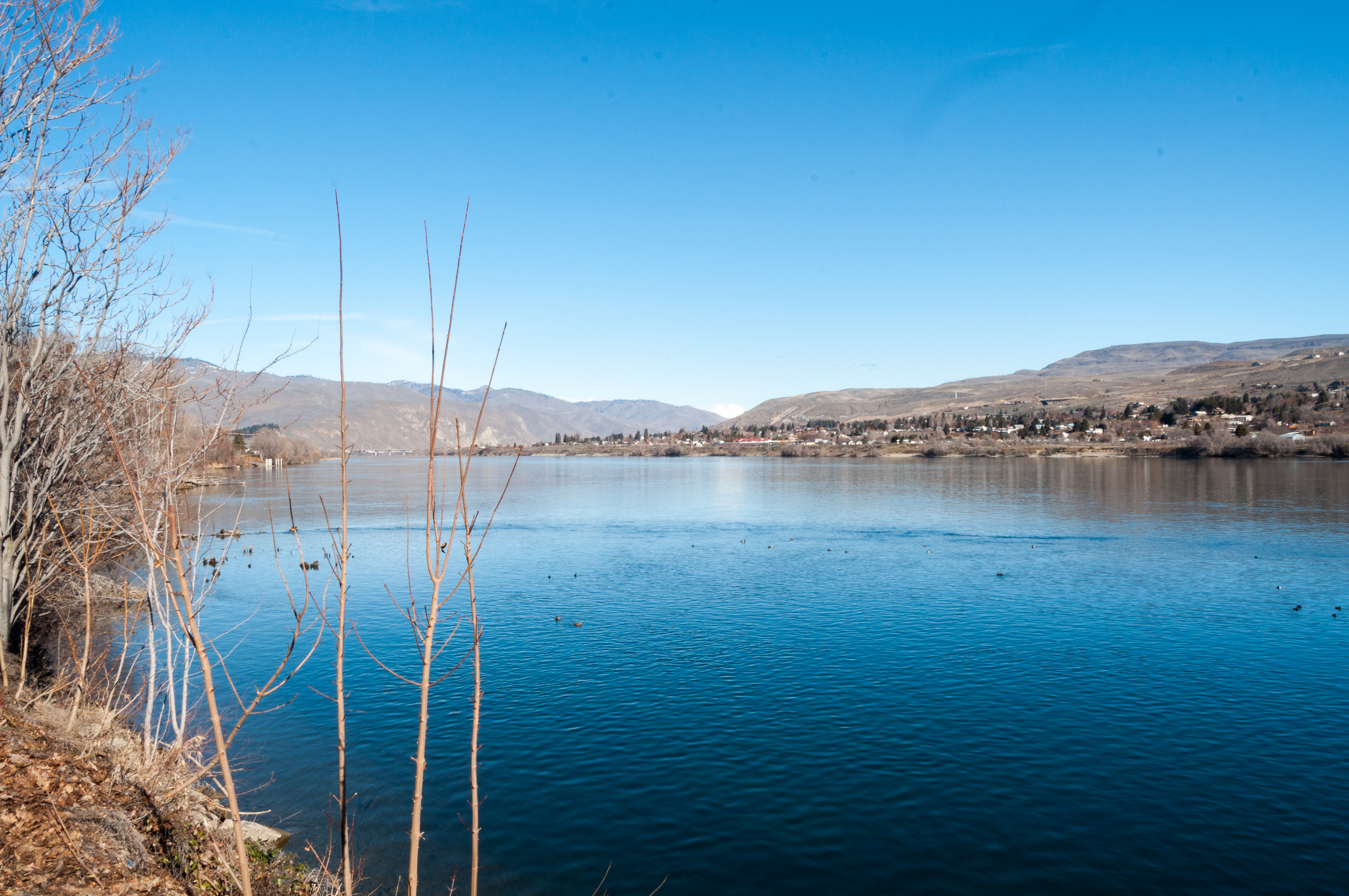
Columbia River
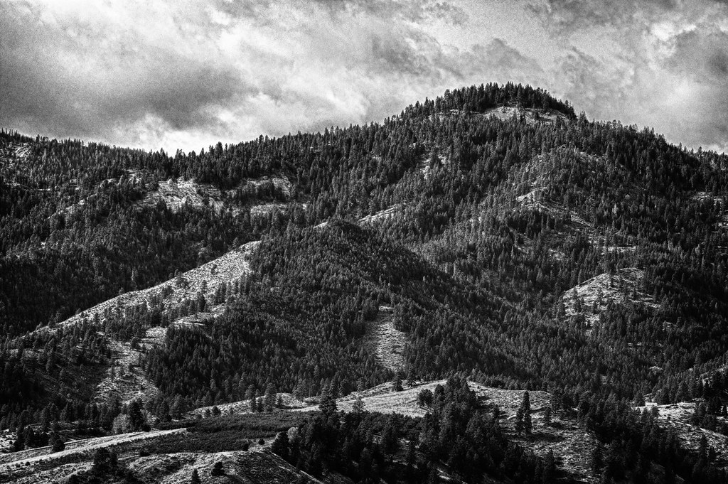
Beehive Mountain B&W - Explored

RoadTrip 201207200050
2012 051312 (19)
Get out of the way!

My Path is Lit

My Path is Lit
Topographic Map of Red Apple Rd, Wenatchee, WA, USA
Find elevation by address:

Places near Red Apple Rd, Wenatchee, WA, USA:
1226 Red Apple Rd
1101 Millerdale Ave
1018 Cherry St
Saddle Rock Trailhead
Castlerock Avenue
1912 Grandview Loop
340 Pear Ln
North Garfield Avenue
1300 Fifth St
Number 2 Canyon Road
Number 2 Canyon Road
Wenatchee
1 Orondo Ave
805 S Mission St
East 5th Street
1474 S Wenatchee Ave
1392 Brown St
1666 Pitcher Canyon Rd
401 Austin Ave
500 Austin Ave
Recent Searches:
- Elevation of Corso Fratelli Cairoli, 35, Macerata MC, Italy
- Elevation of Tallevast Rd, Sarasota, FL, USA
- Elevation of 4th St E, Sonoma, CA, USA
- Elevation of Black Hollow Rd, Pennsdale, PA, USA
- Elevation of Oakland Ave, Williamsport, PA, USA
- Elevation of Pedrógão Grande, Portugal
- Elevation of Klee Dr, Martinsburg, WV, USA
- Elevation of Via Roma, Pieranica CR, Italy
- Elevation of Tavkvetili Mountain, Georgia
- Elevation of Hartfords Bluff Cir, Mt Pleasant, SC, USA