Elevation of Rd H-13, Ottawa, OH, USA
Location: United States > Ohio > Putnam County > Ottawa Township > Ottawa >
Longitude: -84.126712
Latitude: 41.057414
Elevation: 220m / 722feet
Barometric Pressure: 99KPa
Elevation Map:
Satellite Map:
Related Photos:

Window-seat view
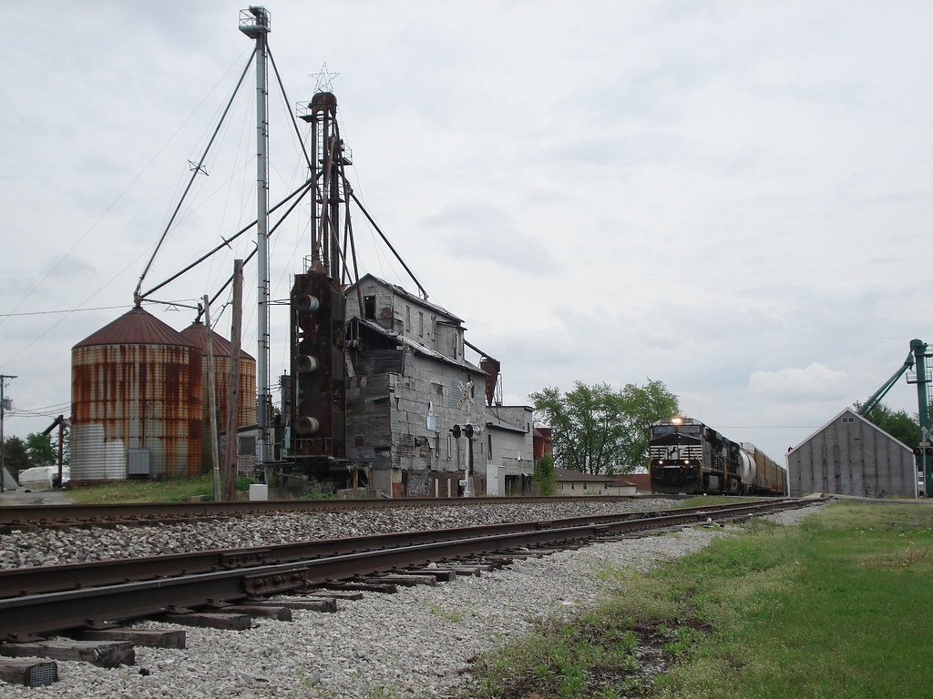
7717 and the Old Mill
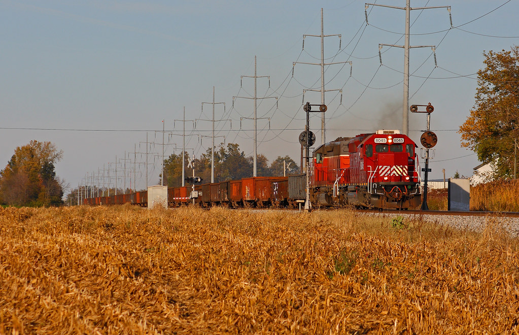
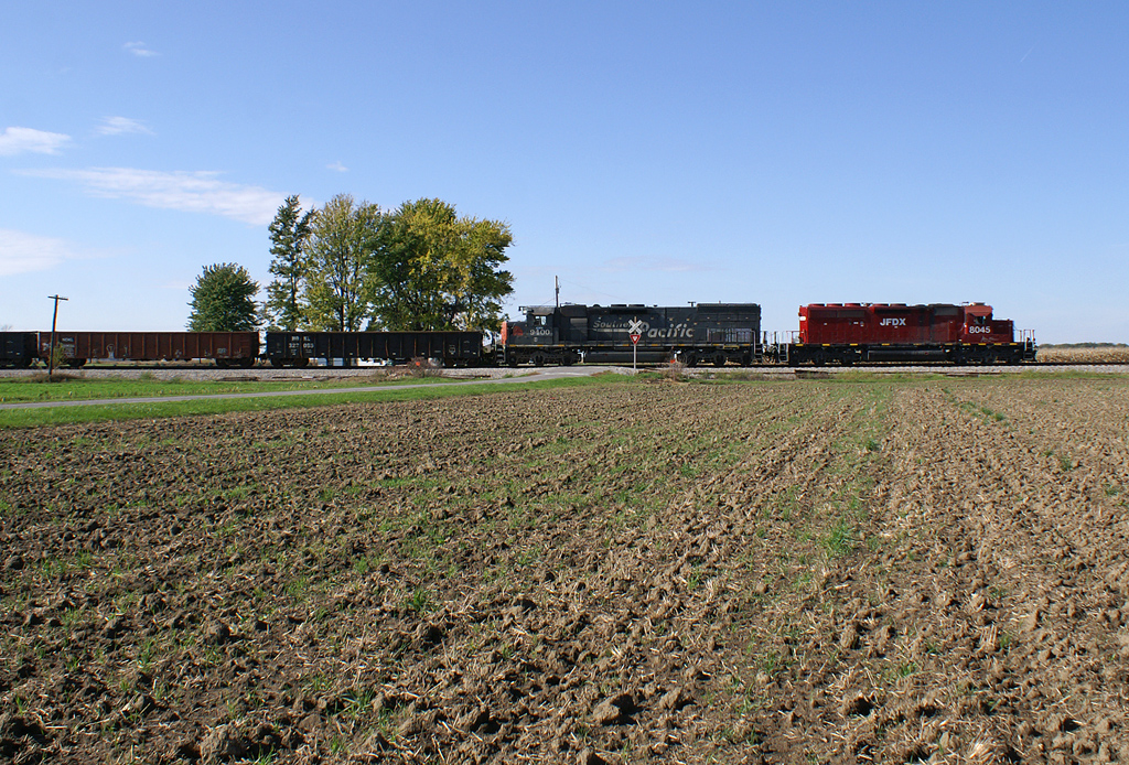
JFDX 8045 South - MP 153.5
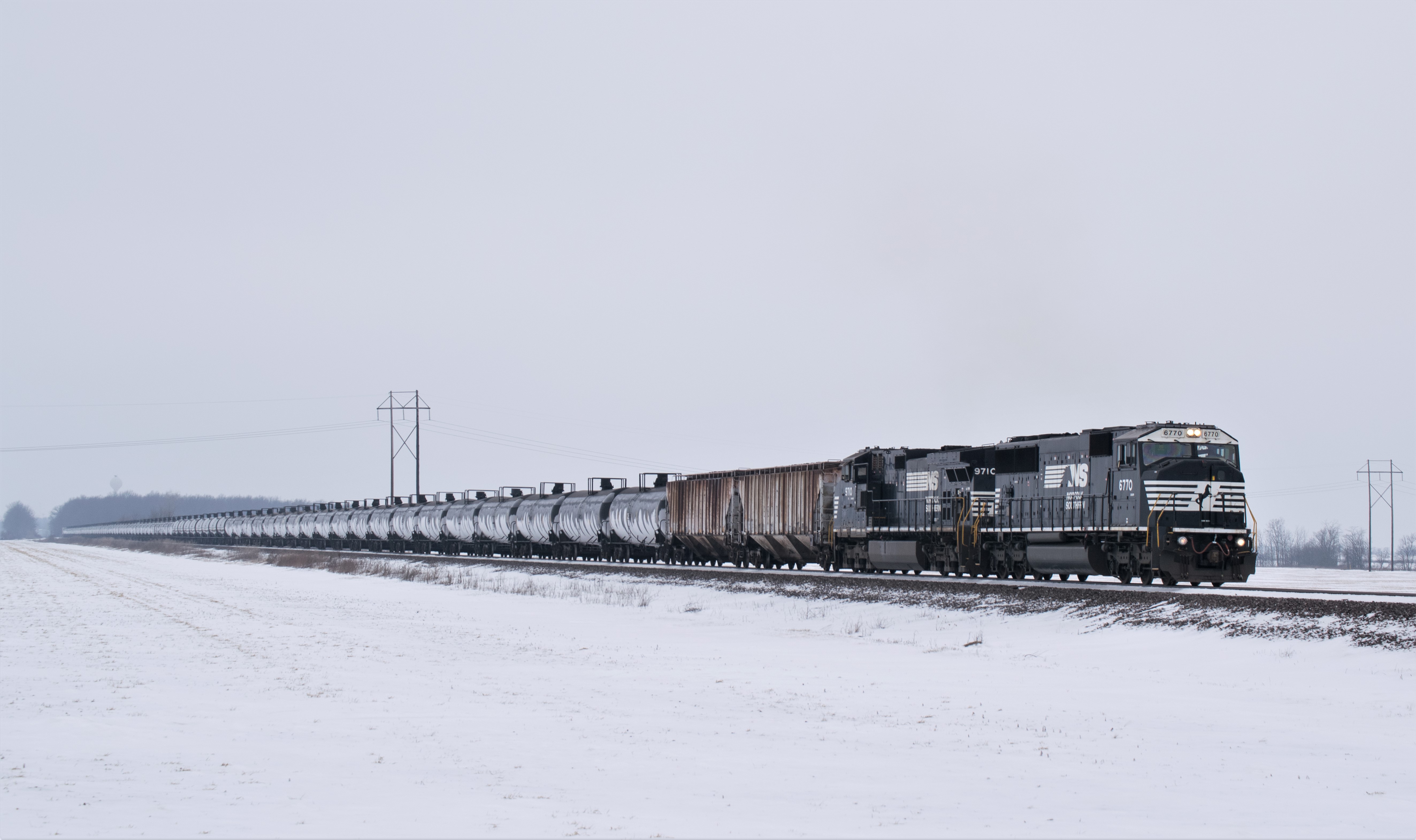
Eastbound NS 64M tank train having just got a clear signal east of Miller City OH and heads on east to rattle the diamond in Leipsic Ohio in the doom and gloom of January weather of the Midwest

I&O northbound - Prentiss, Ohio
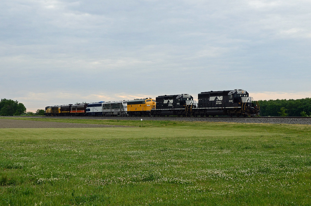
NS 044 - Miller City, Ohio Spencer Streamliners!
I&O LNLX- Prentiss, OH

NS 413 with LV 8104
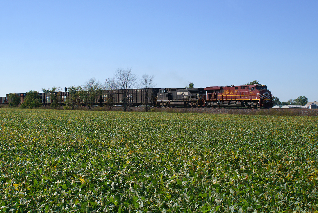
"Highball, Lehigh Valley!"

Southbound, Leipsic
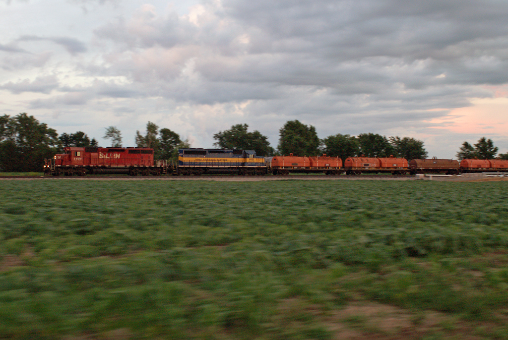
"STLH 5651 North..."
Topographic Map of Rd H-13, Ottawa, OH, USA
Find elevation by address:

Places near Rd H-13, Ottawa, OH, USA:
Greensburg Township
9 Main St, Leipsic, OH, USA
Rd K, Ottawa, OH, USA
Putnam County
Leipsic Fishing & Hunting Association
Palmer Township
849 N Defiance St
Ottawa
E Main St, Ottawa, OH, USA
OH-, Ottawa, OH, USA
Rd E16, Continental, OH, USA
Ottawa Township
Rd K, Cloverdale, OH, USA
Kalida
E N St, Kalida, OH, USA
Union Township
N Main St, Continental, OH, USA
Continental
Perry Township
Monroe Township
Recent Searches:
- Elevation of Corso Fratelli Cairoli, 35, Macerata MC, Italy
- Elevation of Tallevast Rd, Sarasota, FL, USA
- Elevation of 4th St E, Sonoma, CA, USA
- Elevation of Black Hollow Rd, Pennsdale, PA, USA
- Elevation of Oakland Ave, Williamsport, PA, USA
- Elevation of Pedrógão Grande, Portugal
- Elevation of Klee Dr, Martinsburg, WV, USA
- Elevation of Via Roma, Pieranica CR, Italy
- Elevation of Tavkvetili Mountain, Georgia
- Elevation of Hartfords Bluff Cir, Mt Pleasant, SC, USA