Elevation of Razor Rd, Arthur City, TX, USA
Location: United States > Texas > Lamar County > Arthur City >
Longitude: -95.71799
Latitude: 33.879567
Elevation: 135m / 443feet
Barometric Pressure: 100KPa
Elevation Map:
Satellite Map:
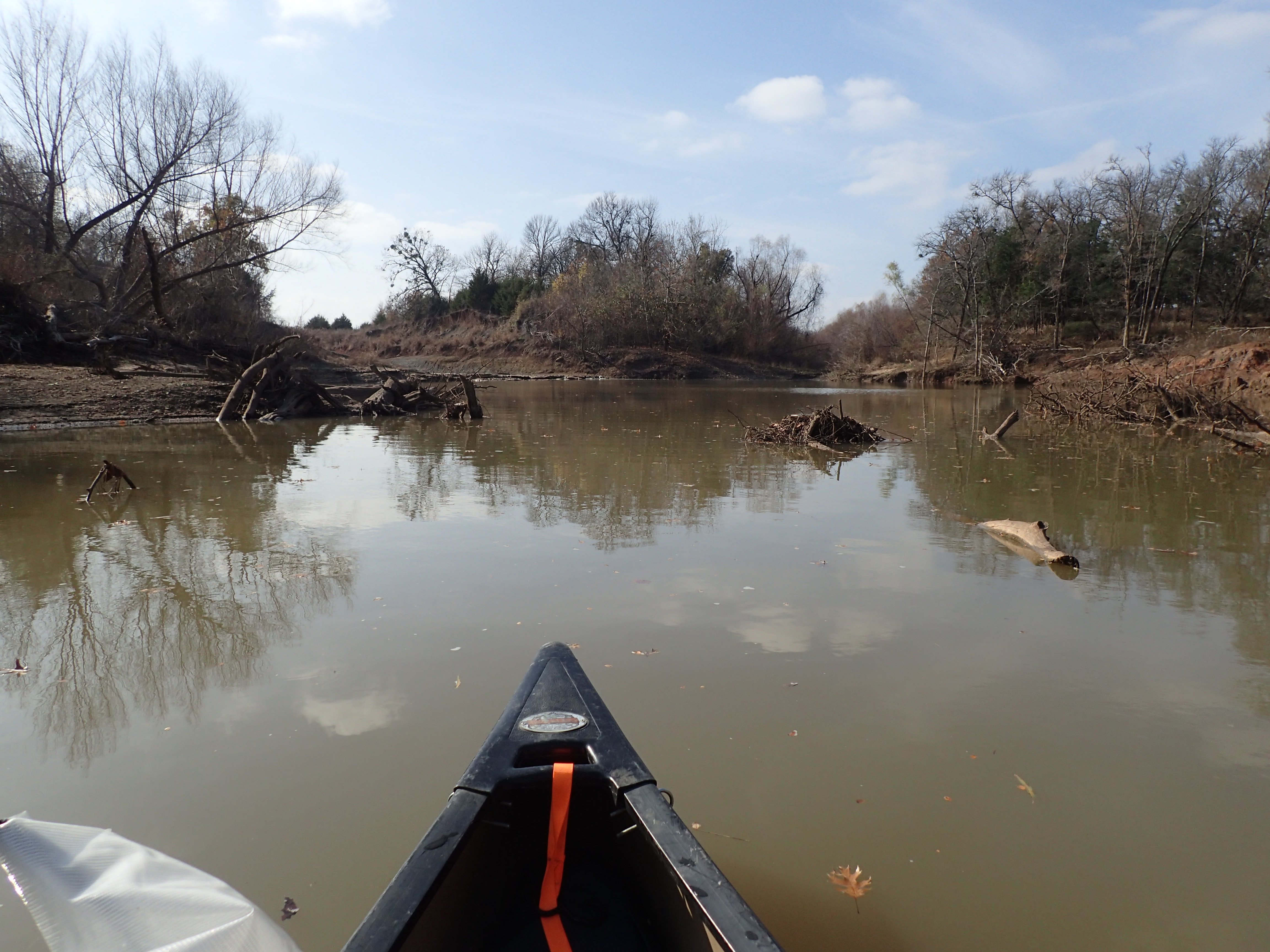
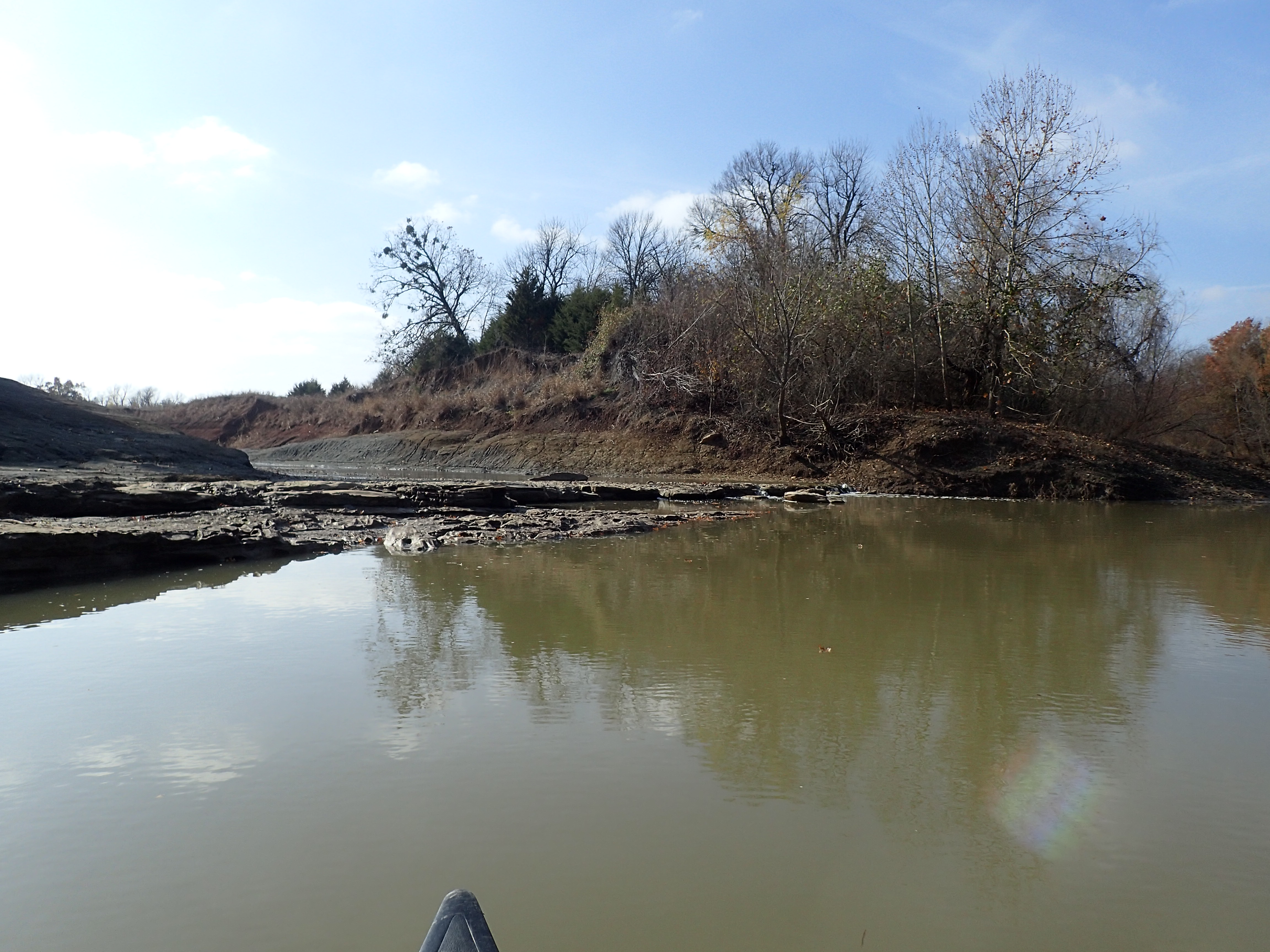
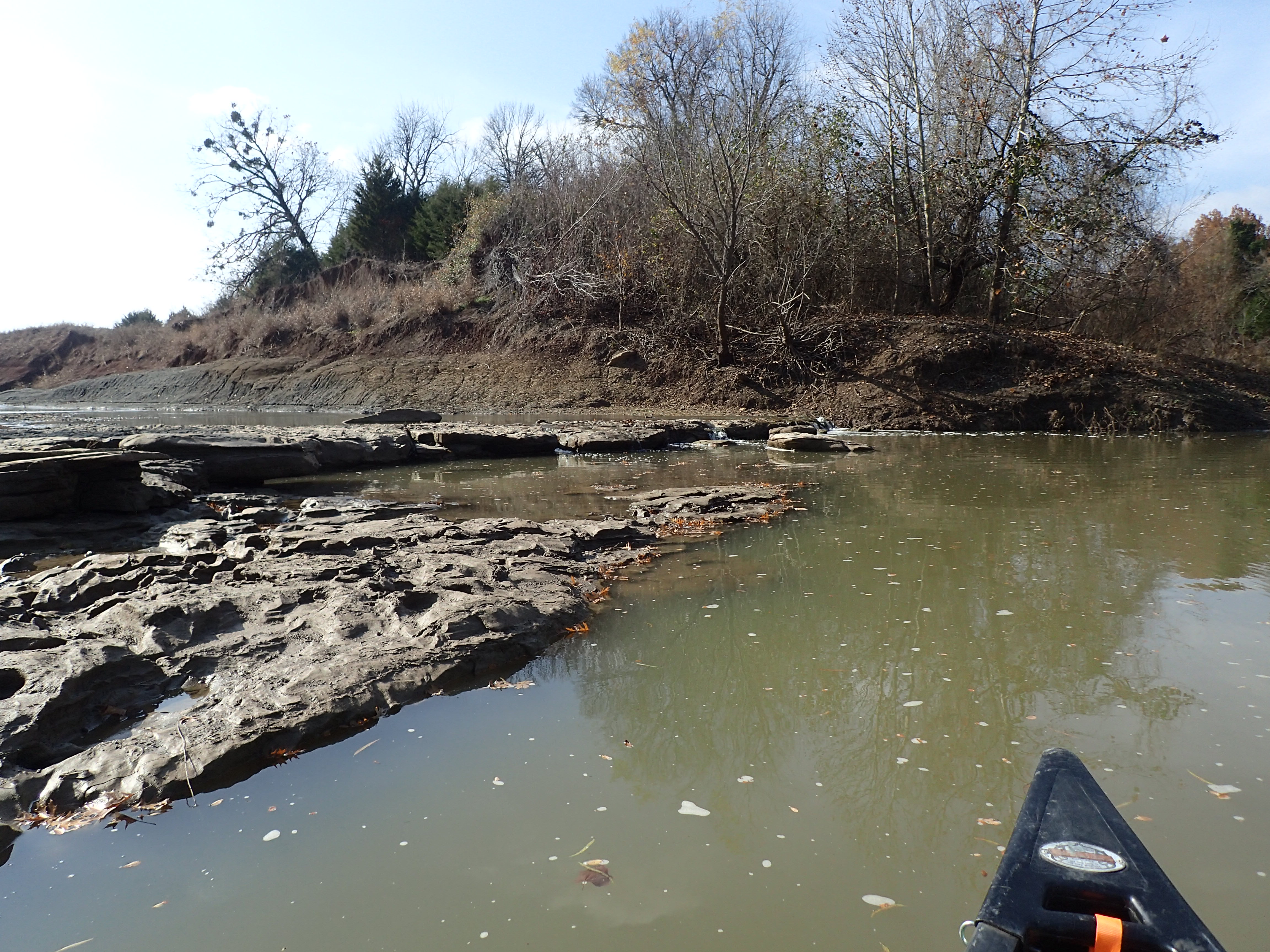
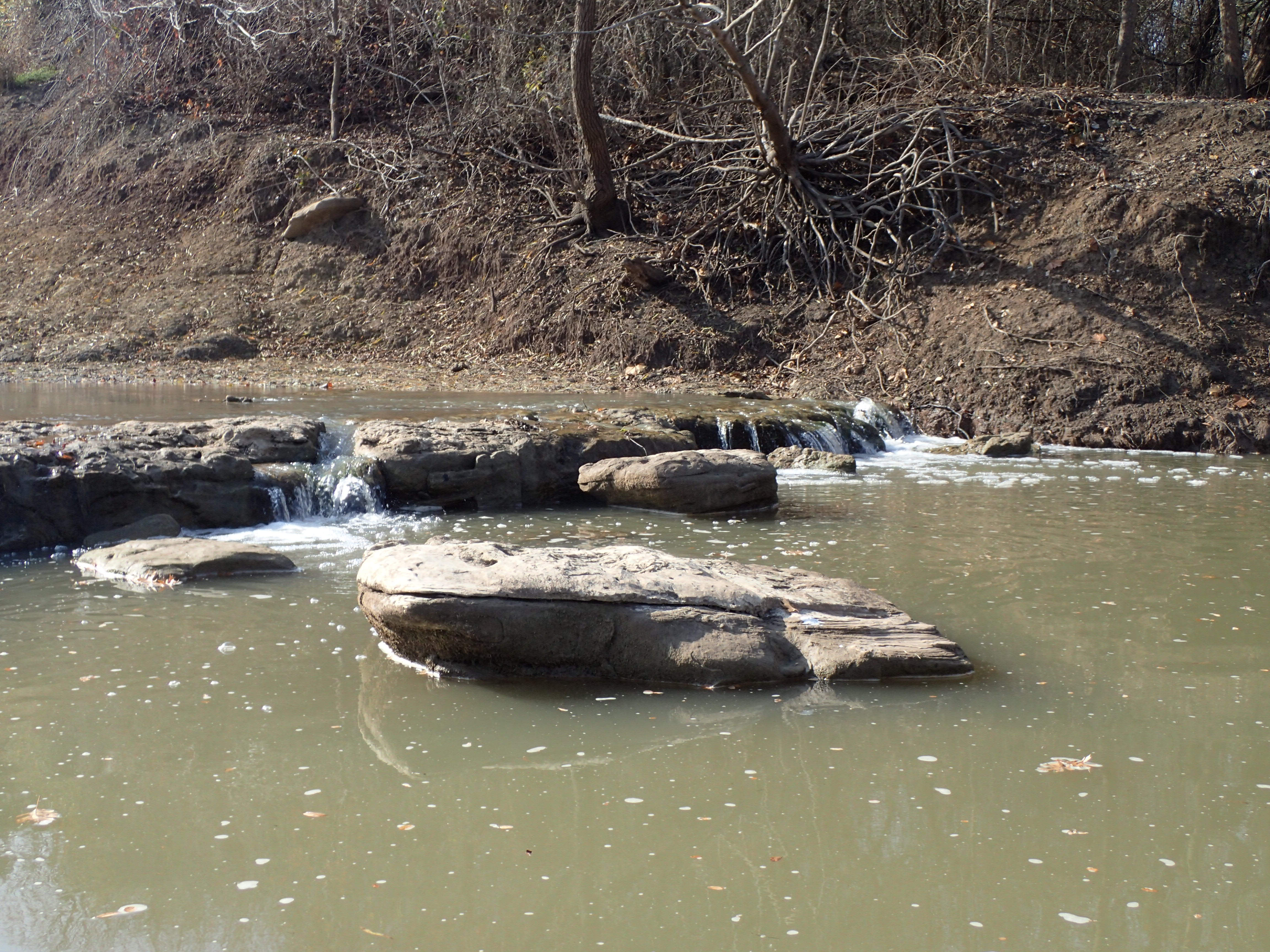
Related Photos:

View of Last Spring

HIP_321829846.969744
PC130419
PC130420
PC130421
PC130422

PC130423
PC130424
PC130425
PC130426
PC130427
PC130428
PC130430
PC130431
PC130432
PC130434
PC130435
PC130436
PC130437
PC130438
PC130439
PC130441

PC130448
Topographic Map of Razor Rd, Arthur City, TX, USA
Find elevation by address:

Places near Razor Rd, Arthur City, TX, USA:
7238 Razor Rd
Fr, Sumner, TX, USA
Fr 79, Sumner, TX, USA
Lamar County
Main St, Soper, OK, USA
FM, Honey Grove, TX, USA
477 County Rd 2418
477 County Rd 2418
477 County Rd 2418
Hyde Lake Rd, Bennington, OK, USA
Telephone
2940 Co Rd 2130
Cr, Telephone, TX, USA
Ivanhoe, TX, USA
9363 E Fm 273
Prairie Pond Road
Bokchito
Oklahoma 22
Moyers
N3920 Road
Recent Searches:
- Elevation of Corso Fratelli Cairoli, 35, Macerata MC, Italy
- Elevation of Tallevast Rd, Sarasota, FL, USA
- Elevation of 4th St E, Sonoma, CA, USA
- Elevation of Black Hollow Rd, Pennsdale, PA, USA
- Elevation of Oakland Ave, Williamsport, PA, USA
- Elevation of Pedrógão Grande, Portugal
- Elevation of Klee Dr, Martinsburg, WV, USA
- Elevation of Via Roma, Pieranica CR, Italy
- Elevation of Tavkvetili Mountain, Georgia
- Elevation of Hartfords Bluff Cir, Mt Pleasant, SC, USA