Elevation of Razor Peak, Fraser-Fort George H, BC V0E, Canada
Location: Canada > British Columbia > Fraser-fort George > Fraser-fort George H >
Longitude: -118.96861
Latitude: 53.0302777
Elevation: 2495m / 8186feet
Barometric Pressure: 75KPa
Elevation Map:
Satellite Map:
Related Photos:
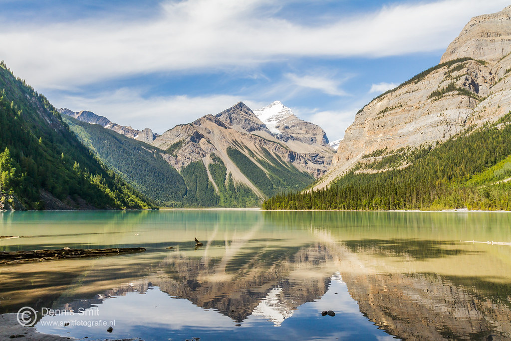
Kinney Lake - Mount Robson Provincial Park
IMG_1146 (2)

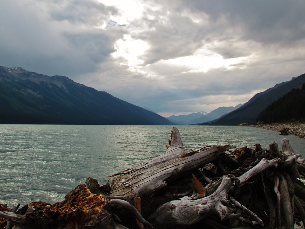
Moose Lake - Moose Lake Provincial Park
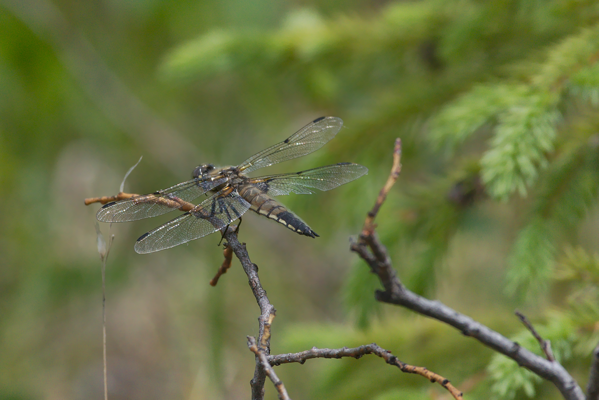
Four-spotted Skimmer - Libellula quadrimaculata - adult - rear dorsal view
Topographic Map of Razor Peak, Fraser-Fort George H, BC V0E, Canada
Find elevation by address:

Places near Razor Peak, Fraser-Fort George H, BC V0E, Canada:
Red Pass
Resplendent Mountain
Trans-Canada Hwy, Fraser-Fort George H, BC V0E, Canada
The Colonel
Upright Mountain
Mount Robson
Mount Mcnaughton
Berg Lake
Overlander Mountain
Calumet Peak
Mount Mowat
Mount Robson
Salient Mountain
Swoda Mountain
Snake Indian Mountain
Caledonia Mountain
Mount Phillips
Palu Mountain
Valemount Hotel
Valemount
Recent Searches:
- Elevation of Corso Fratelli Cairoli, 35, Macerata MC, Italy
- Elevation of Tallevast Rd, Sarasota, FL, USA
- Elevation of 4th St E, Sonoma, CA, USA
- Elevation of Black Hollow Rd, Pennsdale, PA, USA
- Elevation of Oakland Ave, Williamsport, PA, USA
- Elevation of Pedrógão Grande, Portugal
- Elevation of Klee Dr, Martinsburg, WV, USA
- Elevation of Via Roma, Pieranica CR, Italy
- Elevation of Tavkvetili Mountain, Georgia
- Elevation of Hartfords Bluff Cir, Mt Pleasant, SC, USA