Elevation of Razanaka, Madagascar
Location: Madagascar > Toamasina Province > Vohibinany >
Longitude: 48.8793679
Latitude: -18.771312
Elevation: 27m / 89feet
Barometric Pressure: 101KPa
Elevation Map:
Satellite Map:
Related Photos:
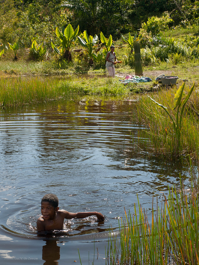
Boy taking a dip on a warm day. Meanwhile his mother is washing clothes.

Large family

Boy taking a dip on a warm day
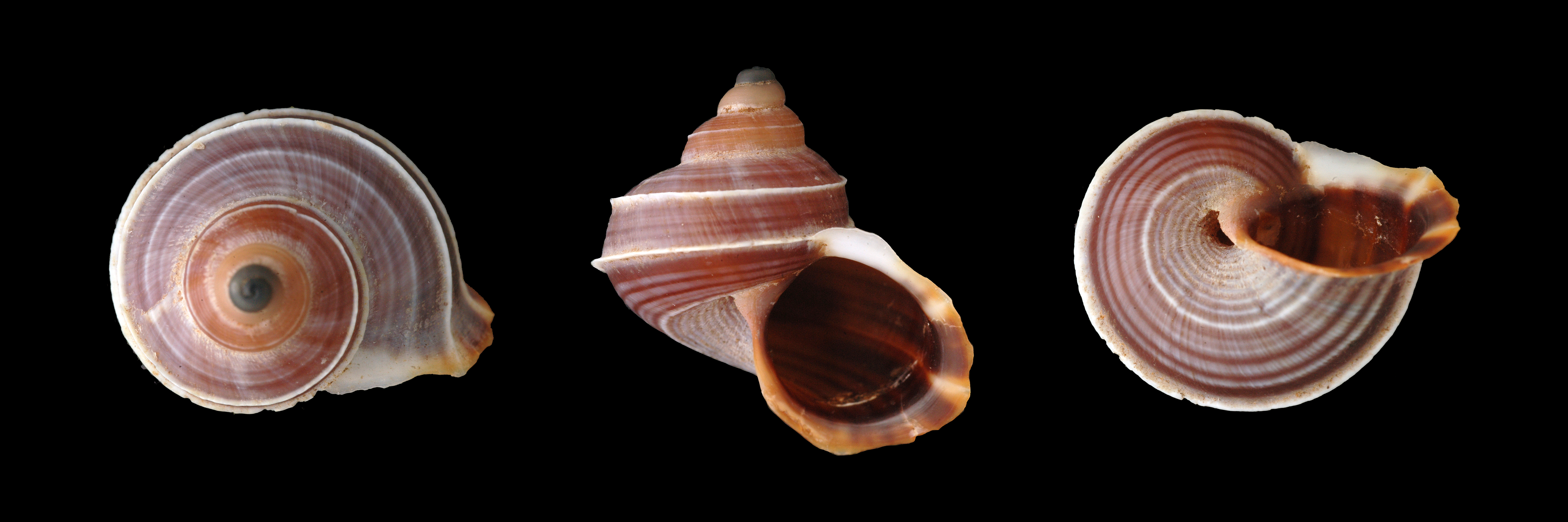
Tropidophora sp. 045, Andriantantely, Madagascar
Topographic Map of Razanaka, Madagascar
Find elevation by address:

Places near Razanaka, Madagascar:
Atsinanana
Lohariandava
Vohibinany
Ampitambe
Moramanga District
Moramanga
Anjiro
Manjakandriana
Andavabato
Recent Searches:
- Elevation of Corso Fratelli Cairoli, 35, Macerata MC, Italy
- Elevation of Tallevast Rd, Sarasota, FL, USA
- Elevation of 4th St E, Sonoma, CA, USA
- Elevation of Black Hollow Rd, Pennsdale, PA, USA
- Elevation of Oakland Ave, Williamsport, PA, USA
- Elevation of Pedrógão Grande, Portugal
- Elevation of Klee Dr, Martinsburg, WV, USA
- Elevation of Via Roma, Pieranica CR, Italy
- Elevation of Tavkvetili Mountain, Georgia
- Elevation of Hartfords Bluff Cir, Mt Pleasant, SC, USA