Elevation of Raver, Maharashtra, India
Location: India > Maharashtra > Jalgaon >
Longitude: 76.0333885
Latitude: 21.2400311
Elevation: 249m / 817feet
Barometric Pressure: 98KPa
Elevation Map:
Satellite Map:
Related Photos:

Visitor Meanwhile

Rohit Rao

passage de frontière en Inde (IMG_3050)
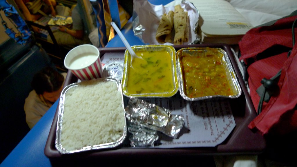
Train food. Pretty good, all-in-all.
Topographic Map of Raver, Maharashtra, India
Find elevation by address:

Places near Raver, Maharashtra, India:
Shahpur
Lalbagh
Burhanpur Railway Station(bau)
Burhanpur
Akbari Sarai
Shahi Qila
Monin Pura
Burhanpur
Pandhana
Jamuniya
Khaknar
Bhikangaon
Khandwa
Khandwa
Khalwa
Mundi
Omkareshwar
Barwaha
Old Harsud
Chikhaldara
Recent Searches:
- Elevation of Corso Fratelli Cairoli, 35, Macerata MC, Italy
- Elevation of Tallevast Rd, Sarasota, FL, USA
- Elevation of 4th St E, Sonoma, CA, USA
- Elevation of Black Hollow Rd, Pennsdale, PA, USA
- Elevation of Oakland Ave, Williamsport, PA, USA
- Elevation of Pedrógão Grande, Portugal
- Elevation of Klee Dr, Martinsburg, WV, USA
- Elevation of Via Roma, Pieranica CR, Italy
- Elevation of Tavkvetili Mountain, Georgia
- Elevation of Hartfords Bluff Cir, Mt Pleasant, SC, USA