Elevation of Raven Rock Rd, Lillington, NC, USA
Location: United States > North Carolina > Harnett County > Lillington >
Longitude: -78.920440
Latitude: 35.4351698
Elevation: 109m / 358feet
Barometric Pressure: 100KPa
Elevation Map:
Satellite Map:
Related Photos:
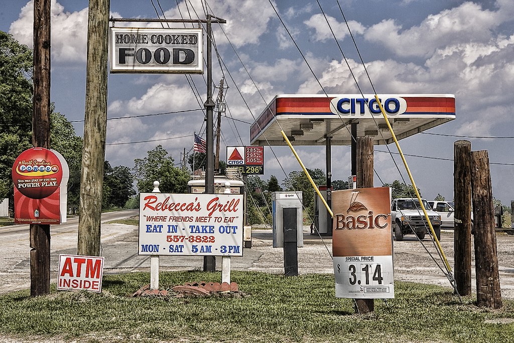
REBECCA'S GRILL

Raven Rock State Park vista

Raven Rock State Park vista

Raven Rock Looking East

Raven Rock Looking West

Scenic overlook

Harnett County Courthouse, Viewed From The Complex Entrance

Side View Of The Harnett County Courthouse

Front View Of Harnett County Courthouse

Harnett County Courthouse, Viewed From The Veterans Park

raven-rock322_overlook-view
raven-rock251_overlook

NewYearsEve-0045

Buckhorn Dam

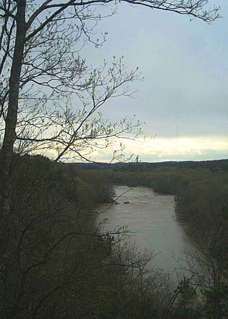
Raven Rock State Park Cape Fear River
Moccasin Branch Ford

Buckhorn Dam

The Fall Line - Lillington, North Carolina

Wildflowers Off NC Hwy 42

Leaving Buckhorn

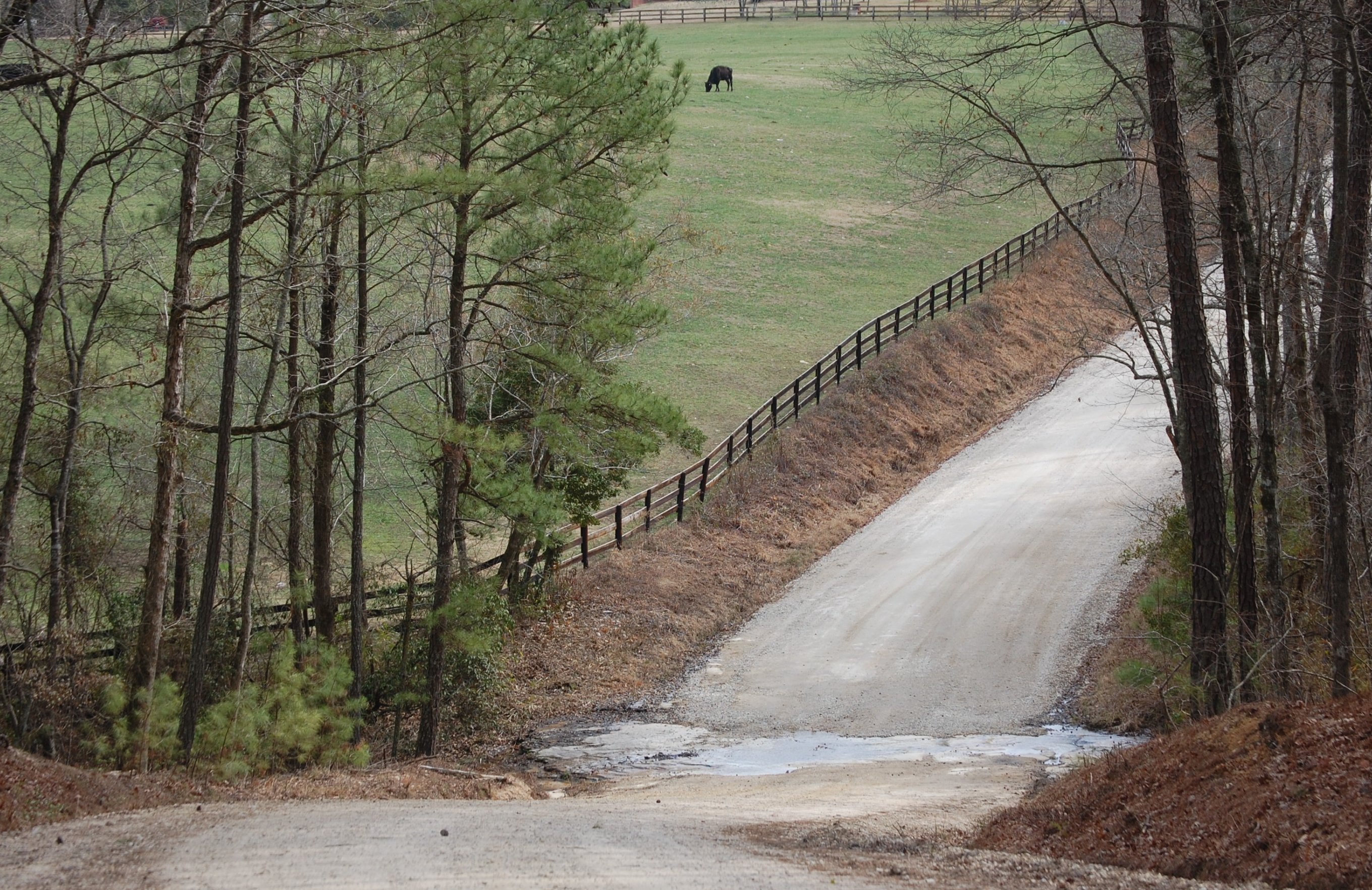
Outside of Lillington (2)

Looking North from the Fish Traps

Cape Fear River Panorama from Overlook on Raven Rock Loop Trail

Fish Traps

Northington Ferry Trail

Campbell Creek

Water Bugs

Campbell Creek

Just-A-Growing Produce, Harnett County, NC

Raven Rock State Park

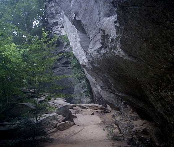
Under The Ledge
raven-rock352_cliff

American Beech Trail
Topographic Map of Raven Rock Rd, Lillington, NC, USA
Find elevation by address:

Places near Raven Rock Rd, Lillington, NC, USA:
533 Raven Rock Rd
533 Raven Rock Rd
Mamers
6489 Old Us Hwy 421
Upper Little River
Raven Rock State Park
60 Mamie Bell Cir
Harnett County
Hectors Creek
357 Daniels Creek Rd
First Choice Community Health Centers
8th Street
Lillington
128 E James St
86 Parkside Drive
25 Old Seminole Ln, Broadway, NC, USA
S Main St, Broadway, NC, USA
Lillington
Barbecue
Barbecue
Recent Searches:
- Elevation of Corso Fratelli Cairoli, 35, Macerata MC, Italy
- Elevation of Tallevast Rd, Sarasota, FL, USA
- Elevation of 4th St E, Sonoma, CA, USA
- Elevation of Black Hollow Rd, Pennsdale, PA, USA
- Elevation of Oakland Ave, Williamsport, PA, USA
- Elevation of Pedrógão Grande, Portugal
- Elevation of Klee Dr, Martinsburg, WV, USA
- Elevation of Via Roma, Pieranica CR, Italy
- Elevation of Tavkvetili Mountain, Georgia
- Elevation of Hartfords Bluff Cir, Mt Pleasant, SC, USA