Elevation of Raven Ridge Trail, Dobson, NC, USA
Location: United States > North Carolina > Surry County > Dobson > Dobson >
Longitude: -80.842557
Latitude: 36.4599244
Elevation: 512m / 1680feet
Barometric Pressure: 95KPa
Elevation Map:
Satellite Map:
Related Photos:

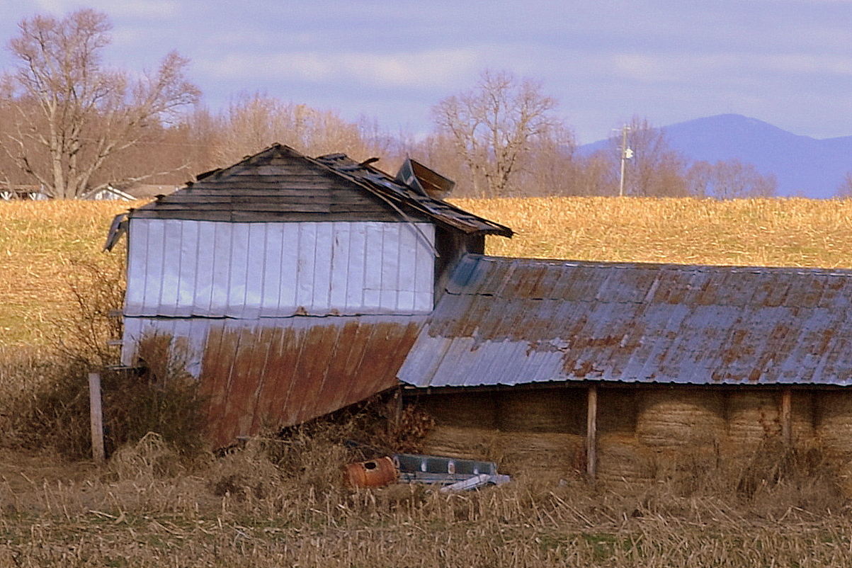
Thurmond Barn #2

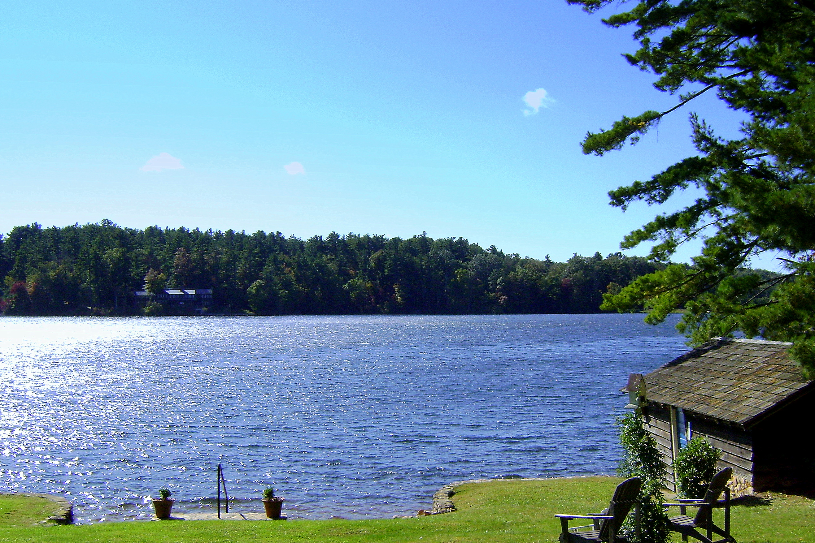
home with a view

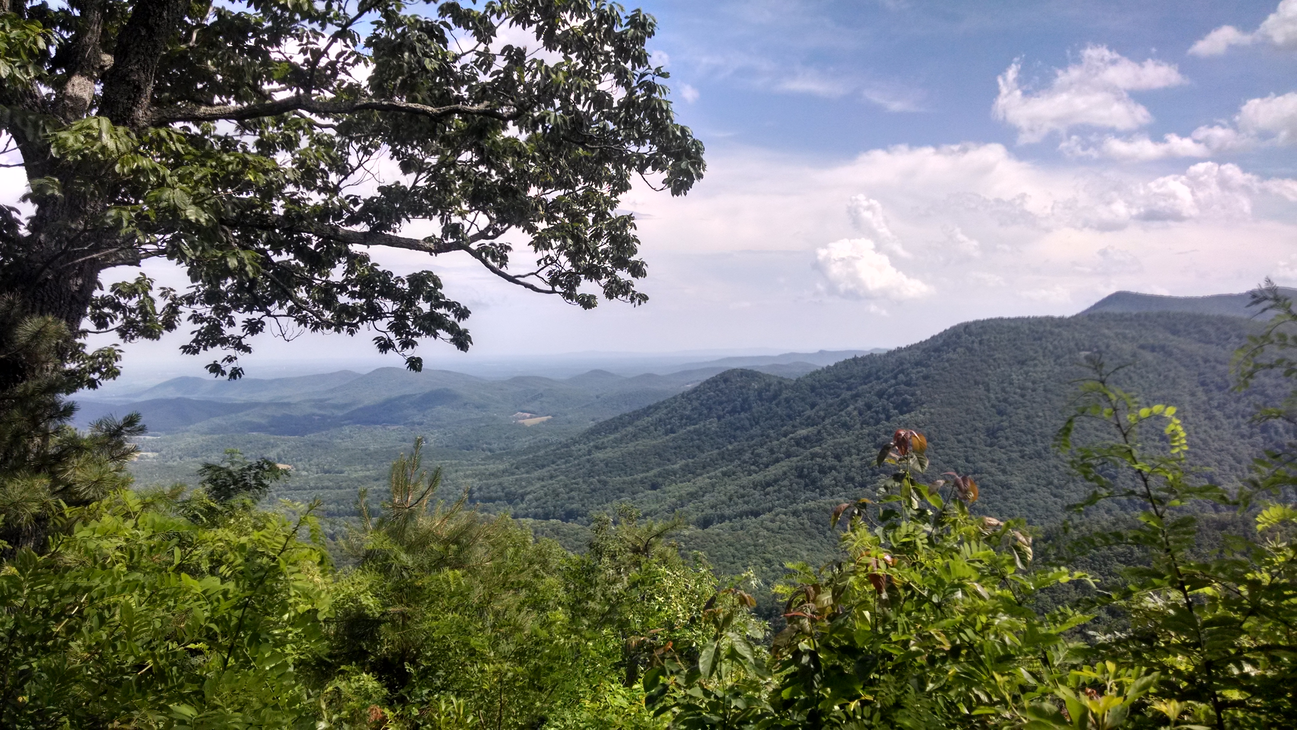
View from High Piney Spur Overlook, BRP

A view of the Knob from Honey Locust Lane.

160415-0832 Lowgap-Pano

From the Blue Ridge Parkway Au Naturel.

160415-0817 Lowgap-Pano

160415-0820 Lowgap-Pano

A new view of the Knob

160415-0789 Lambsburg

View from my Window 4678

A beautiful view down Raven Knob road into camp. 6/11/14

Pilot Mountain

PARKWAY VIEW
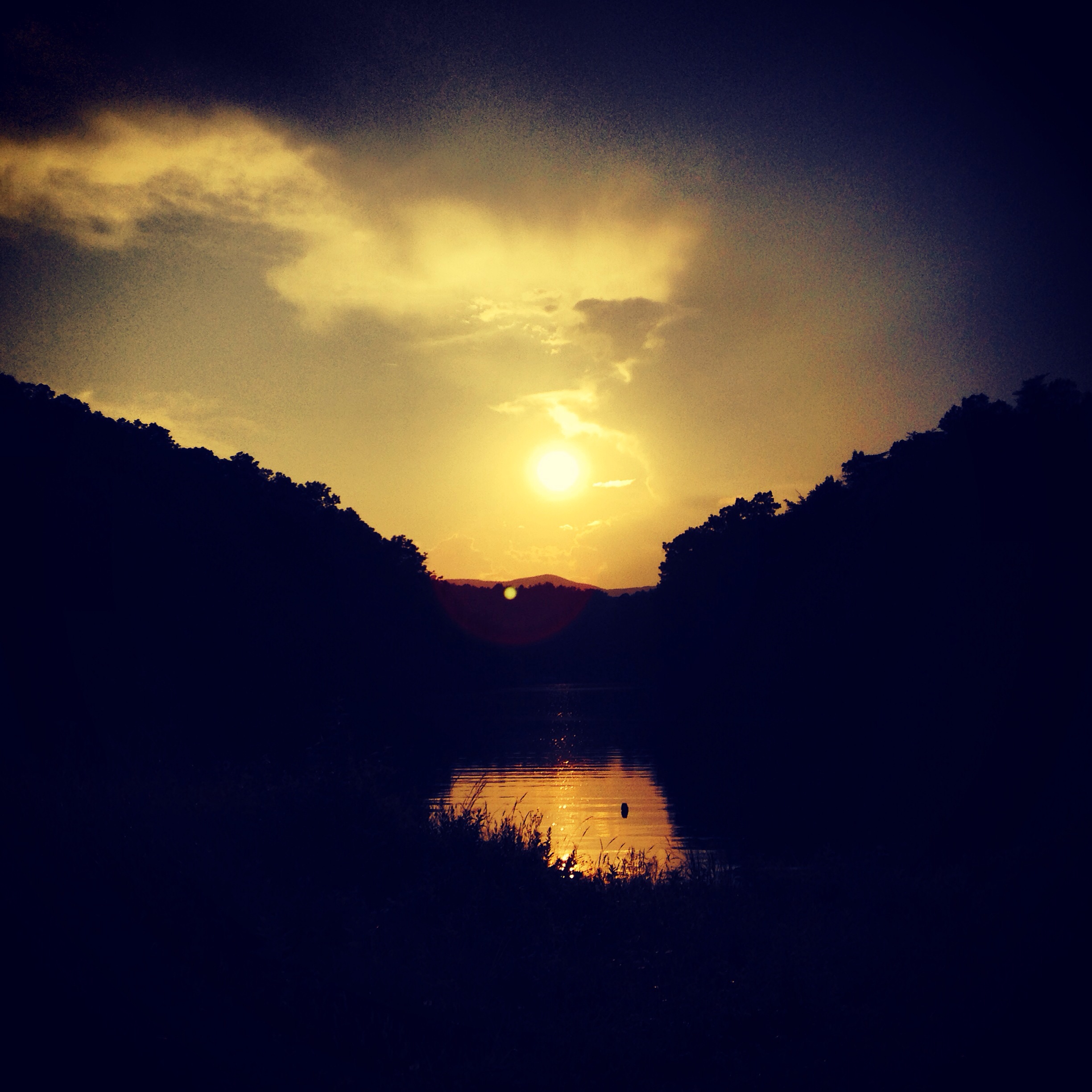
Sunset view from the point.

View from Blue Ridge Parkway, Alleghany County (N.C.), 14 October 1972

Rest Area with a view

Raven Knob Panorama
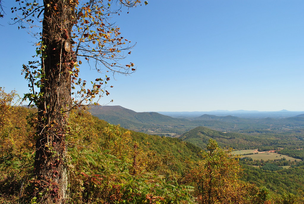
AUTUMN VIEW

SCENIC VIEW

View from W4C/WM-064 - Fisher Peak

Kapps Mill, Mitchell River, Dobson NC, Surry County

The Roaring Gap

Lake Louise, Roaring Gap NC, Alleghany County, Ice

Lake Louise, Roaring Gap NC, Alleghany County, Ice

Our last look of Blue Ridge overlook
Bluest Country

Framed Landscape

Holga: Trail

Fox Hunter's Paradise Overlook
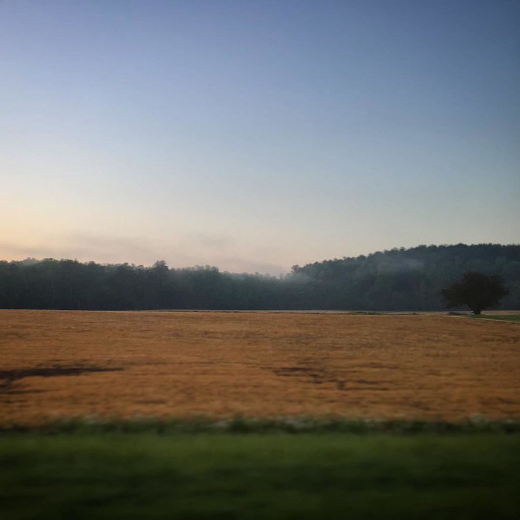
Good morning!
Roaring Gap NC, Lake Louise, Alleghany County

Walking back from Dinner

Kapps Mill, Mitchell River, Dobson NC, Surry County

East N.C. 89 at the curve

East N.C. 89 New Alignment

Photos from throughout the week.

Photos from throughout the week.

Kapps Mill, Mitchell River, Dobson NC, Surry County
Old Tobacco Barns, Surry County
Photos from throughout the week.
Topographic Map of Raven Ridge Trail, Dobson, NC, USA
Find elevation by address:

Places near Raven Ridge Trail, Dobson, NC, USA:
248 Raven Knob Rd
Camp Raven Knob
Haystack Road
124 Turkey Ln
485 Wandering Walk Trail
197 Shelton Rd
Lilly Lane
Kapps Mill Road
1032 White Dirt Rd
279 Cedar Lake Trail
Fisher River
Cabin Ridge Trail
Casper Stewart Road
Freetown Lane
Old Lowgap Rd, Mt Airy, NC, USA
Crooked Oak
Dobson
Stewarts Creek
259 N Crutchfield St
County Home Rd, Dobson, NC, USA
Recent Searches:
- Elevation of Corso Fratelli Cairoli, 35, Macerata MC, Italy
- Elevation of Tallevast Rd, Sarasota, FL, USA
- Elevation of 4th St E, Sonoma, CA, USA
- Elevation of Black Hollow Rd, Pennsdale, PA, USA
- Elevation of Oakland Ave, Williamsport, PA, USA
- Elevation of Pedrógão Grande, Portugal
- Elevation of Klee Dr, Martinsburg, WV, USA
- Elevation of Via Roma, Pieranica CR, Italy
- Elevation of Tavkvetili Mountain, Georgia
- Elevation of Hartfords Bluff Cir, Mt Pleasant, SC, USA