Elevation of Rauher 2, Leiblfing, Germany
Location: Austria > Bavaria > Lower Bavaria > Straubing-bogen > Leiblfing >
Longitude: 12.5772763
Latitude: 48.7458107
Elevation: 409m / 1342feet
Barometric Pressure: 97KPa
Elevation Map:
Satellite Map:
Related Photos:
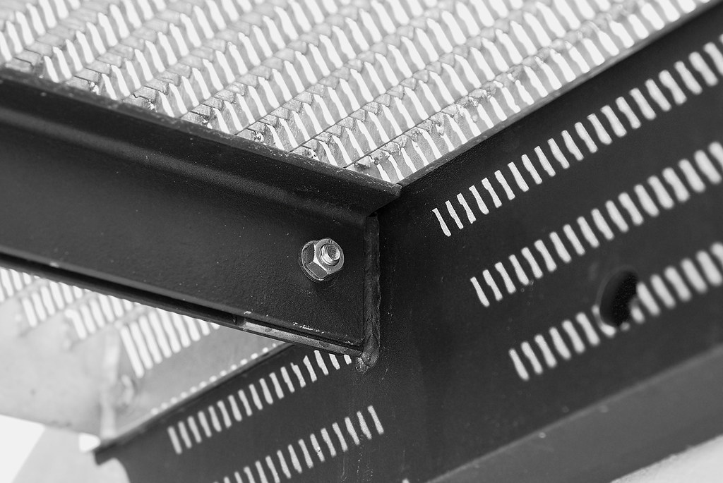
Detail of the stair
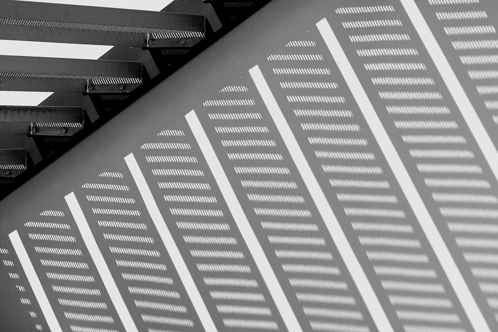
Detail shadow of a stair

Weekend Retreat

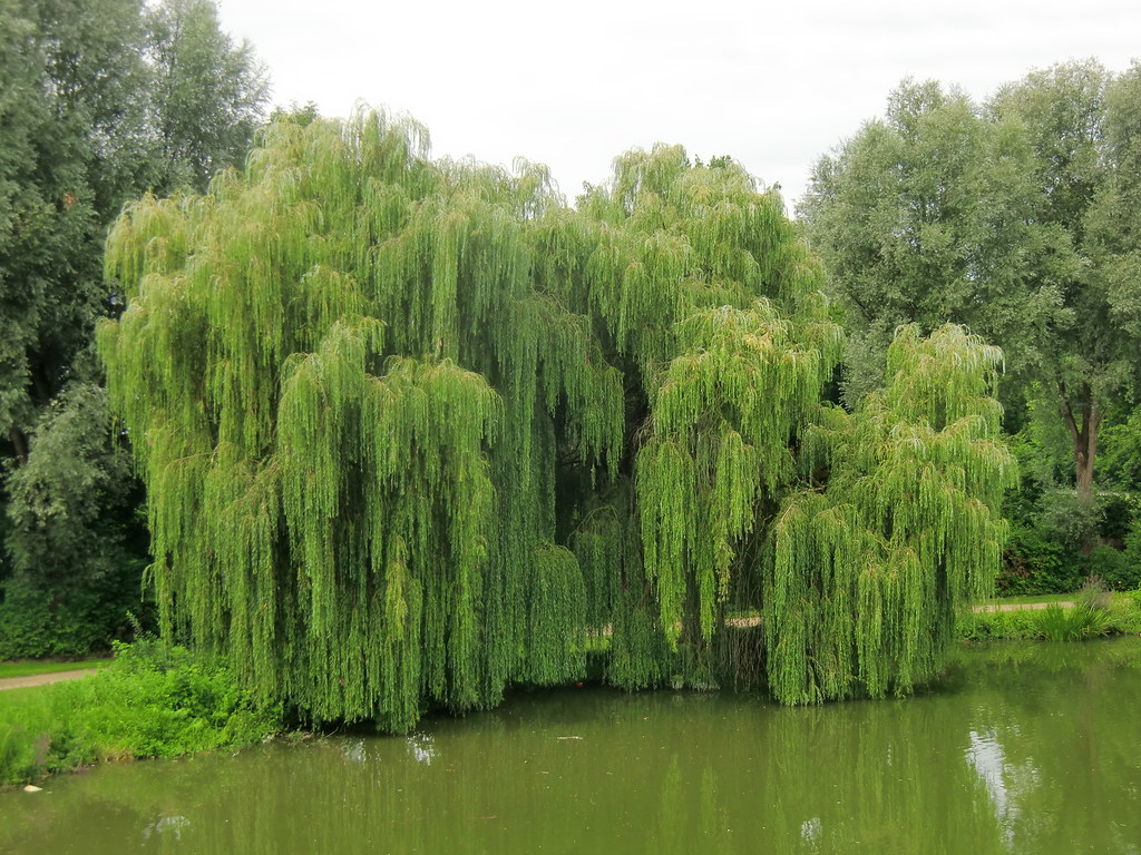
Pond House
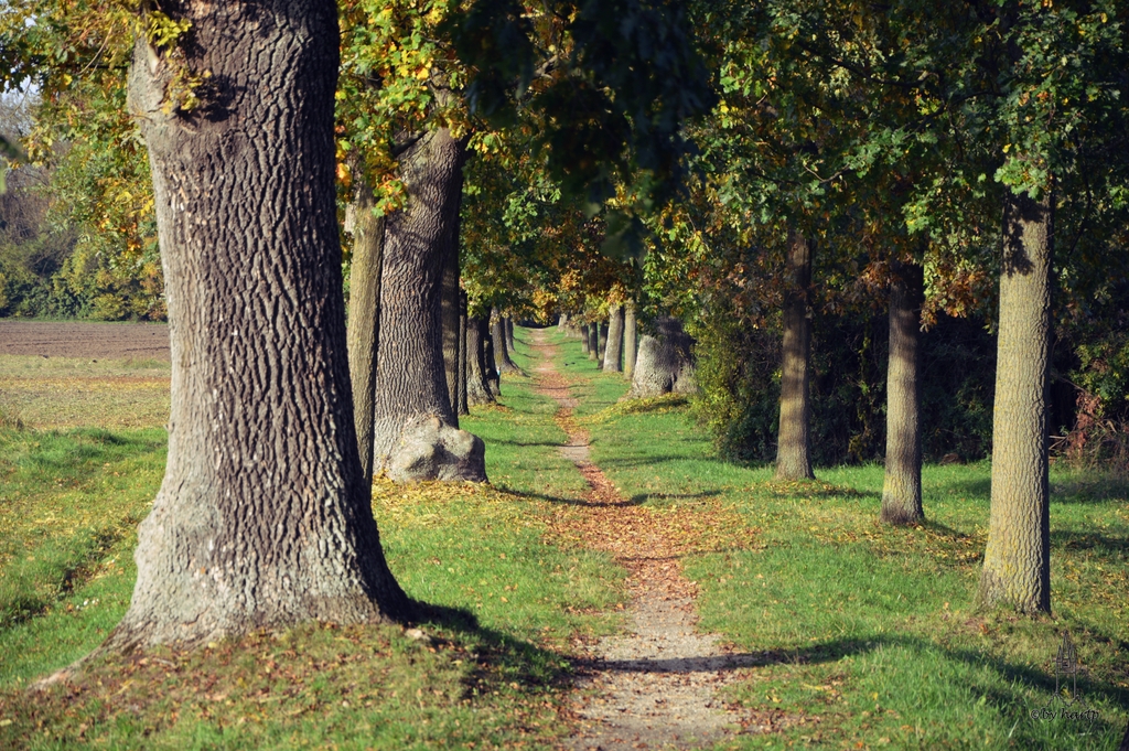
Der Weg

Collage%2520Storchengehege%252017062011
In a small park

corn.field

Sonnenuntergang 2
_DSC1461-003_1024px

Painted Autumn Harvest
Topographic Map of Rauher 2, Leiblfing, Germany
Find elevation by address:

Places near Rauher 2, Leiblfing, Germany:
Rutzenbach 14, Leiblfing, Germany
Rutzenbach
Holzmauer 3, Leiblfing, Germany
Holzbuch 12, Moosthenning, Germany
Salching
Piering
Piering 6, Salching, Germany
Leiblfing
Wackerstall 1, Mengkofen, Germany
Waiblingermoos 1, Pilsting, Germany
Oberschneiding
Puchhausen
Pilsting
Hailinger Str. 2, Mengkofen, Germany
Wolferkofen
Wolferkofen 24, Oberschneiding, Germany
Aiterhofen
Niederharthausen
Niederharthausen 31, Aiterhofen, Germany
Wimpasing 2, Straubing, Germany
Recent Searches:
- Elevation of Corso Fratelli Cairoli, 35, Macerata MC, Italy
- Elevation of Tallevast Rd, Sarasota, FL, USA
- Elevation of 4th St E, Sonoma, CA, USA
- Elevation of Black Hollow Rd, Pennsdale, PA, USA
- Elevation of Oakland Ave, Williamsport, PA, USA
- Elevation of Pedrógão Grande, Portugal
- Elevation of Klee Dr, Martinsburg, WV, USA
- Elevation of Via Roma, Pieranica CR, Italy
- Elevation of Tavkvetili Mountain, Georgia
- Elevation of Hartfords Bluff Cir, Mt Pleasant, SC, USA