Elevation map of Ratlam, Madhya Pradesh, India
Location: India > Madhya Pradesh >
Longitude: 75.0611147
Latitude: 23.5099971
Elevation: 482m / 1581feet
Barometric Pressure: 96KPa
Elevation Map:
Satellite Map:
Related Photos:

TAZIYA (NAZARBAG) JAORA
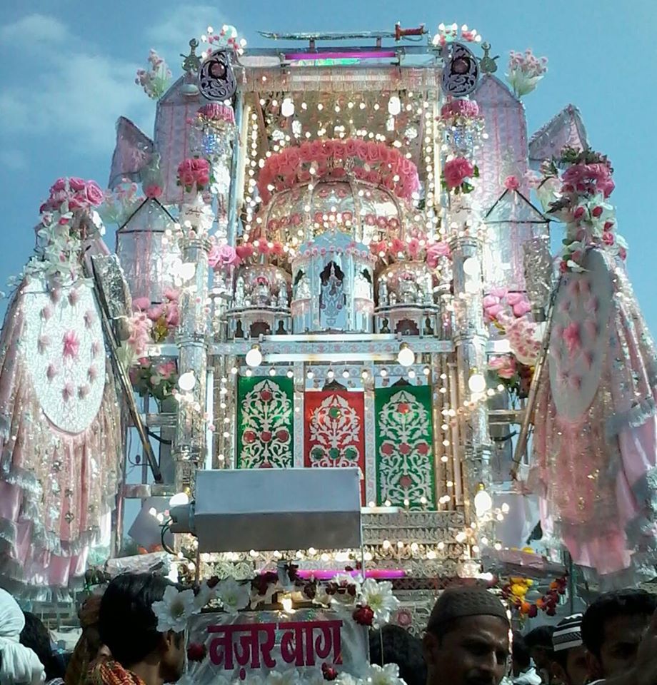
TAZIYA NAZAR BAG JAORA 2014
Topographic Map of Ratlam, Madhya Pradesh, India
Find elevation by address:

Places in Ratlam, Madhya Pradesh, India:
Places near Ratlam, Madhya Pradesh, India:
Namli
Sailana
Jaora
Jama Masjid
Khariwal Mohalla
Ratlam
Ratlamee Food Home Delivery Services
Shastri Nagar
Raoti
Tal
Piploda
Bajna
Ujjain
Bahirampur
Jhabua
Garh Kalika Marg
Mahavir Nagar Colony
Pipli Naka Chouraha
Jaisinghpura
Mahakaleshwar Jyotirlinga
Recent Searches:
- Elevation of Corso Fratelli Cairoli, 35, Macerata MC, Italy
- Elevation of Tallevast Rd, Sarasota, FL, USA
- Elevation of 4th St E, Sonoma, CA, USA
- Elevation of Black Hollow Rd, Pennsdale, PA, USA
- Elevation of Oakland Ave, Williamsport, PA, USA
- Elevation of Pedrógão Grande, Portugal
- Elevation of Klee Dr, Martinsburg, WV, USA
- Elevation of Via Roma, Pieranica CR, Italy
- Elevation of Tavkvetili Mountain, Georgia
- Elevation of Hartfords Bluff Cir, Mt Pleasant, SC, USA