Elevation of Rasar State Park, Cape Horn Rd, Concrete, WA, USA
Location: United States > Washington > Skagit County > Concrete >
Longitude: -121.90262
Latitude: 48.5176861
Elevation: 44m / 144feet
Barometric Pressure: 101KPa
Elevation Map:
Satellite Map:
Related Photos:

1959 Chevrolet El Camino

Late Autumn Snowfall No. 9, Rasar State Park, Washington, 2016

Dubstep room
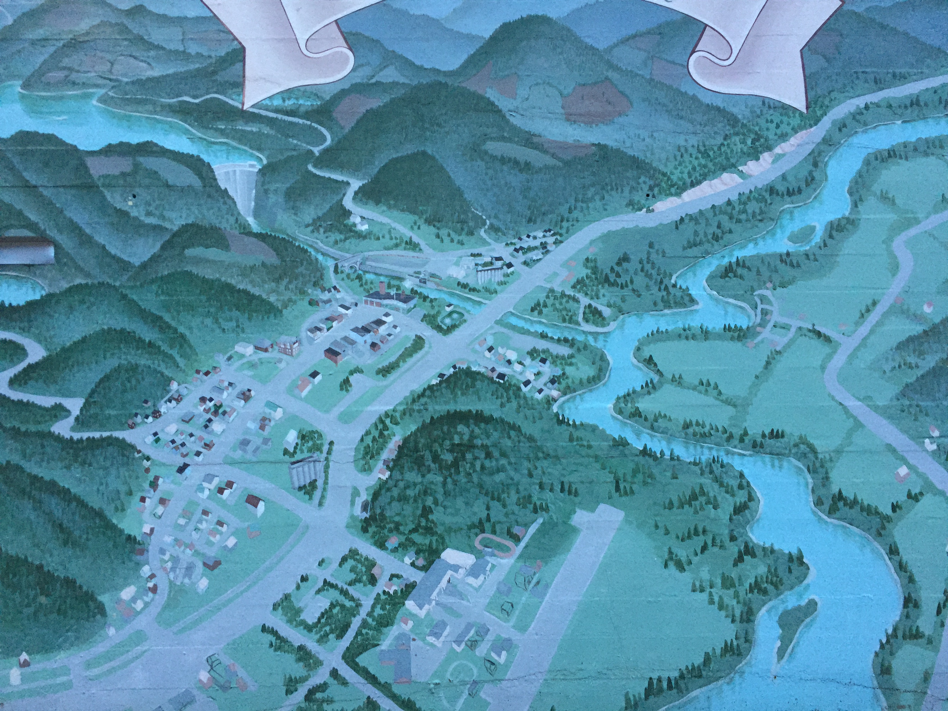
Concrete, Washington from above
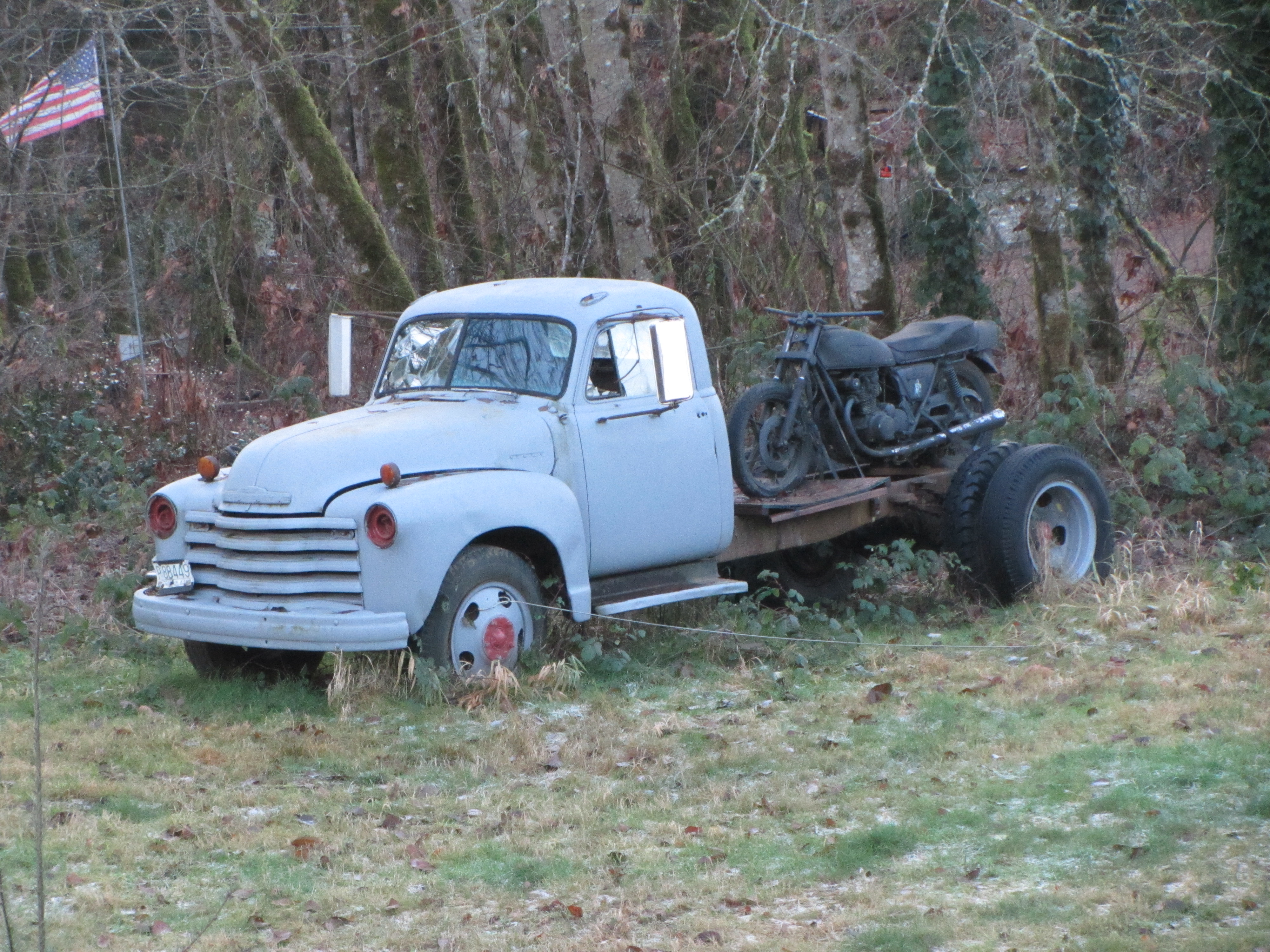
Derelict Pair

The big room
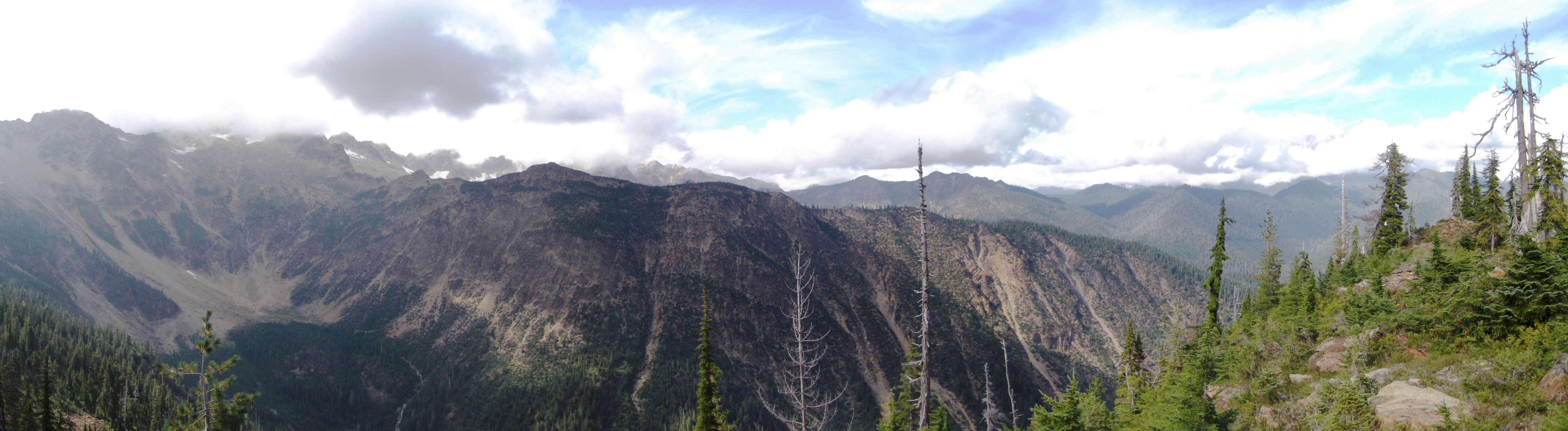
Panorama of Twin Sisters from ridge

View of Twin Sisters

The Old Concrete Town Hall

View from front yard, north

old shed at cement plant

Aerial View of Northern Cascades WA

Cement plant front

Milwaukee Road Coach 616, Ex-519. Side View

Sunset in Concrete

View from front yard, south

Milwaukee Road Coach 616, Ex-519. Side View
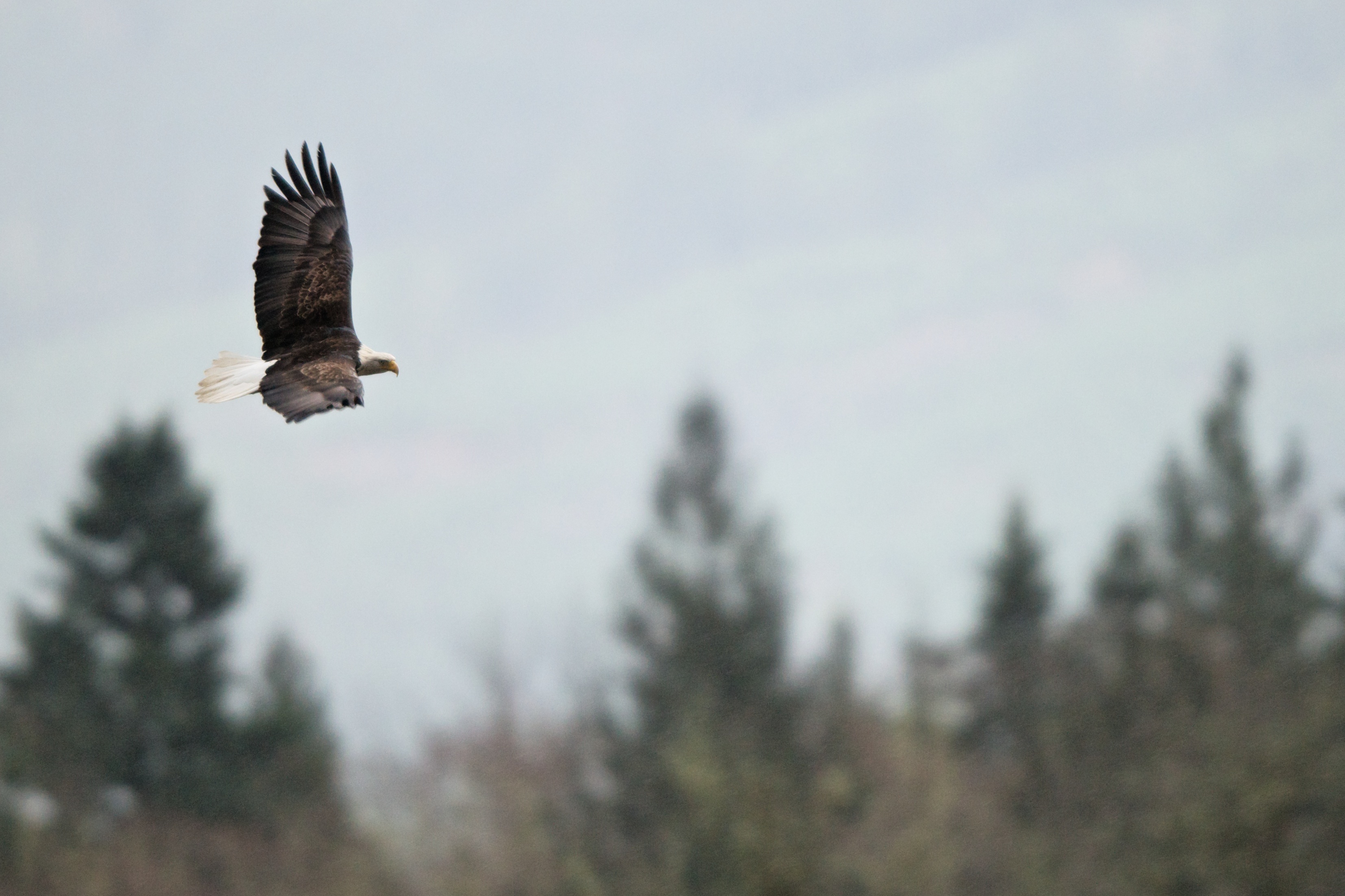
Rasar State Park

Cement plant interior
The Hunt

Sauk Mountain

Hurn Field Elk

Rainy Winter Day, Cumberland Creek, Skagit County, Washington, 2017

The Sun Setting Behind Smoky Skys

Snow Covered Stump, Rasar State Park, Washington, 2016
Seen near Concrete,Washington

Winter Along Loretta Creek, Skagit County, Washington, 2017

Autumn Willow

Skagit morning fog

Snow and Moss, Rasar State Park, Washington, 2016

Red, White & Blue

Mill Creek Falls

Lone Cottonwood

Late Autumn Snowfall No. 8, Rasar State Park, Washington, 2016

Goats and Blossoms

Mill Creek Falls

Winter Waterfall, O'Toole Creek, Skagit County, Washington, 2017

Exploring. Because you never know what's around the corner.

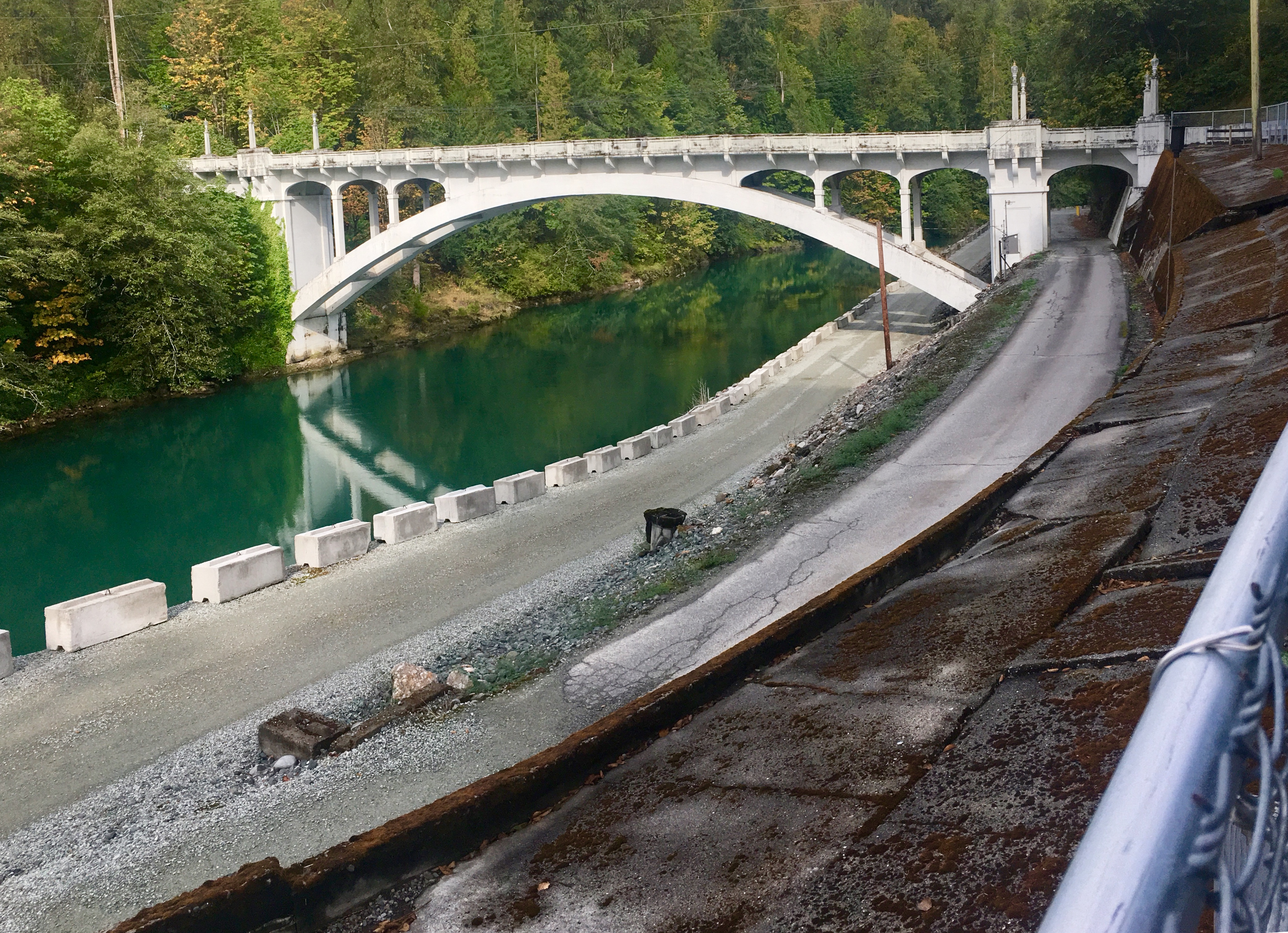
myPSE Pit Stops: hydro highway tour
Topographic Map of Rasar State Park, Cape Horn Rd, Concrete, WA, USA
Find elevation by address:

Places near Rasar State Park, Cape Horn Rd, Concrete, WA, USA:
Timberland Court
8638 Lusk Rd
Cape Horn Rd, Concrete, WA, USA
Skagit River
36379 Cape Horn Rd
41490 Cape Horn Dr
41551 Cape Horn Dr
7525 N Center Ct
Mountain View Lane
41949 Cape Horn Dr
42058 Cedar St
35312 Shangri-la Dr
Water Street
34870 Bella St
Hamilton
43595 Scenic River Ct
Grandy Lake
44416 Dalles Rd
7287 1st St
7287 1st St
Recent Searches:
- Elevation of Corso Fratelli Cairoli, 35, Macerata MC, Italy
- Elevation of Tallevast Rd, Sarasota, FL, USA
- Elevation of 4th St E, Sonoma, CA, USA
- Elevation of Black Hollow Rd, Pennsdale, PA, USA
- Elevation of Oakland Ave, Williamsport, PA, USA
- Elevation of Pedrógão Grande, Portugal
- Elevation of Klee Dr, Martinsburg, WV, USA
- Elevation of Via Roma, Pieranica CR, Italy
- Elevation of Tavkvetili Mountain, Georgia
- Elevation of Hartfords Bluff Cir, Mt Pleasant, SC, USA