Elevation of Rapid City, MB R0K 1W0, Canada
Location: Canada > Manitoba > Division No. 15 > Saskatchewan >
Longitude: -100.03729
Latitude: 50.1206158
Elevation: 479m / 1572feet
Barometric Pressure: 96KPa
Elevation Map:
Satellite Map:
Related Photos:
Canadian Roadtrip (65)
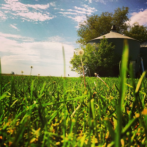
I took a nap on the lawn. This is the view I woke up to :)
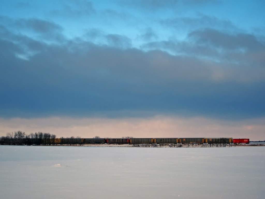
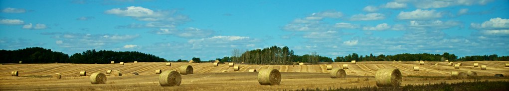
CN Main Line Landscape
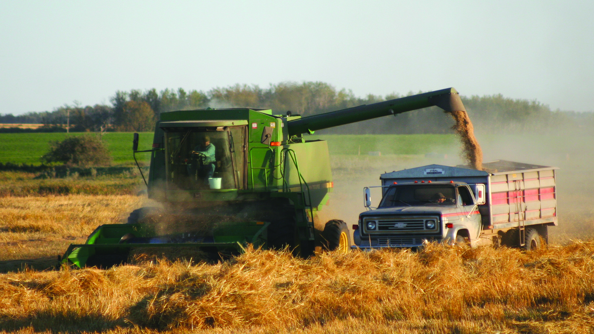
Harvest Time, Gail Bridgeman of Rapid City, MB

Post Sun
Old Barn

Fall gathering

snipe 2
Topographic Map of Rapid City, MB R0K 1W0, Canada
Find elevation by address:

Places near Rapid City, MB R0K 1W0, Canada:
Saskatchewan
Basswood
Third Ave, Rivers, MB R0K 1X0, Canada
Rivers
Barney's Motel
Braecrest Drive
Braecrest Drive
401 Kirkcaldy Dr
401 Kirkcaldy Dr
401 Kirkcaldy Dr
153 16 St N
26 Confederation Bay
433 27 St
Victoria Avenue
Brandon
383 18th St
702 14 St
935 7 St
Richmond Avenue
927 3rd St
Recent Searches:
- Elevation of Corso Fratelli Cairoli, 35, Macerata MC, Italy
- Elevation of Tallevast Rd, Sarasota, FL, USA
- Elevation of 4th St E, Sonoma, CA, USA
- Elevation of Black Hollow Rd, Pennsdale, PA, USA
- Elevation of Oakland Ave, Williamsport, PA, USA
- Elevation of Pedrógão Grande, Portugal
- Elevation of Klee Dr, Martinsburg, WV, USA
- Elevation of Via Roma, Pieranica CR, Italy
- Elevation of Tavkvetili Mountain, Georgia
- Elevation of Hartfords Bluff Cir, Mt Pleasant, SC, USA