Elevation of Raoluxiang, Xinlong, Garze, Sichuan, China
Location: China > Sichuan > Garze >
Longitude: 100.313786
Latitude: 31.097969
Elevation: 3118m / 10230feet
Barometric Pressure: 69KPa
Elevation Map:
Satellite Map:
Related Photos:
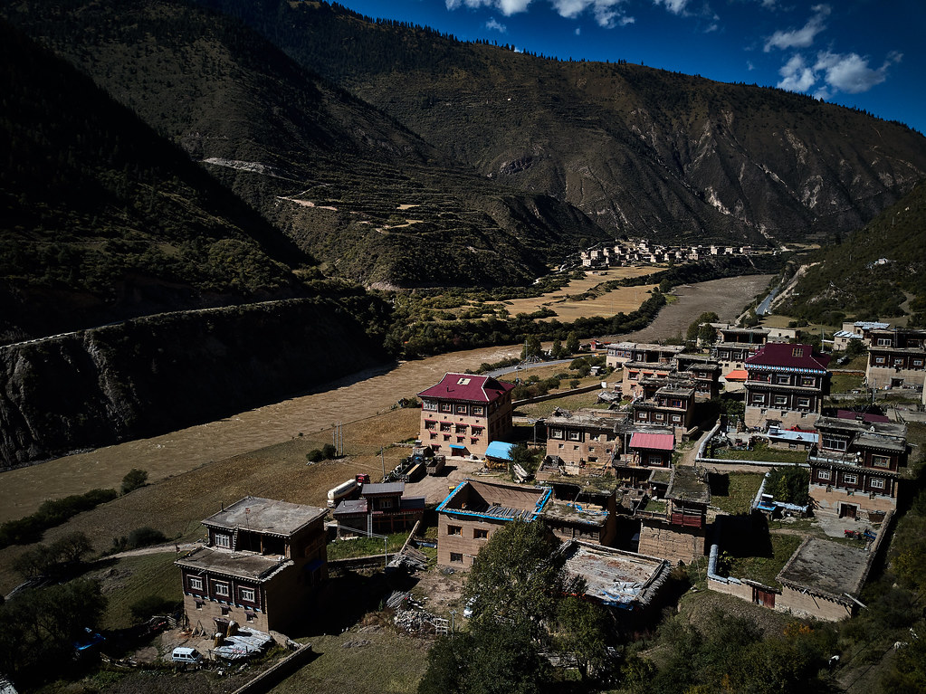
CN | Roadtrip Sichuan
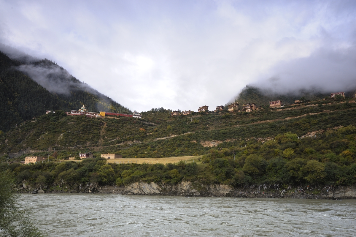
Small village(Xinlong)
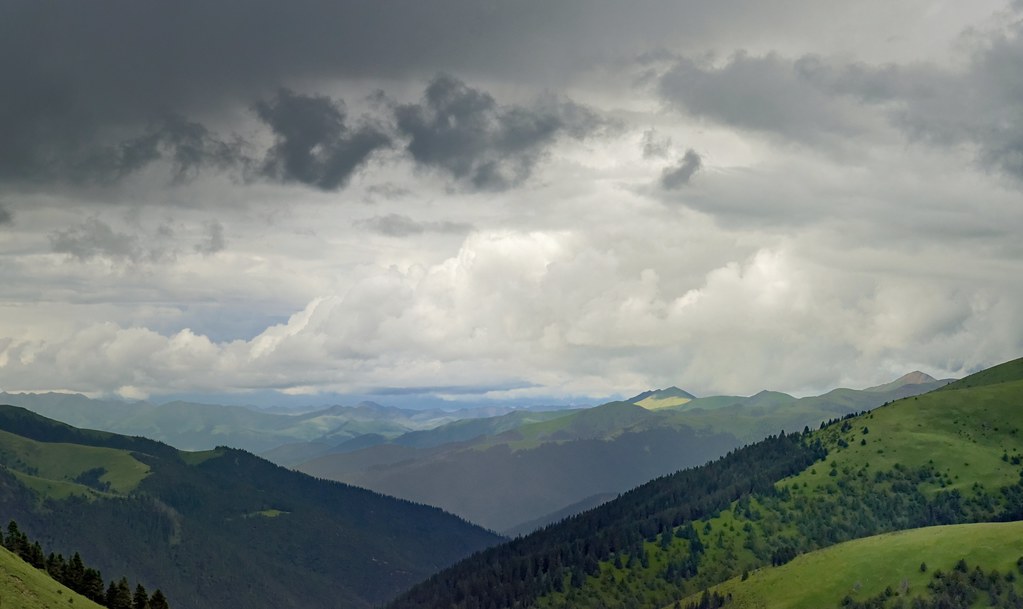
Landscape of Litang county,Tibet 2014
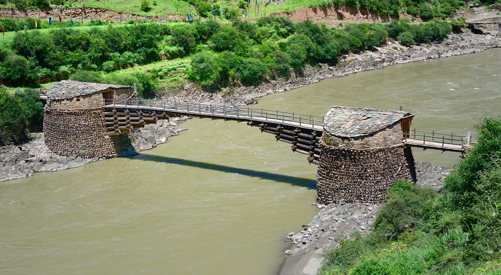
Tibetan log bridge, Tibet 2014
Topographic Map of Raoluxiang, Xinlong, Garze, Sichuan, China
Find elevation by address:

Places near Raoluxiang, Xinlong, Garze, Sichuan, China:
Luhuo
Tuobaxiang
Garze
Ganzizhen
Dawu
Sertar
Zamtang Middle School
Zamthang County
Zamtang People's Government Guest House
Recent Searches:
- Elevation of Corso Fratelli Cairoli, 35, Macerata MC, Italy
- Elevation of Tallevast Rd, Sarasota, FL, USA
- Elevation of 4th St E, Sonoma, CA, USA
- Elevation of Black Hollow Rd, Pennsdale, PA, USA
- Elevation of Oakland Ave, Williamsport, PA, USA
- Elevation of Pedrógão Grande, Portugal
- Elevation of Klee Dr, Martinsburg, WV, USA
- Elevation of Via Roma, Pieranica CR, Italy
- Elevation of Tavkvetili Mountain, Georgia
- Elevation of Hartfords Bluff Cir, Mt Pleasant, SC, USA