Elevation of Range Road, Range Rd, Warner County No. 5, AB T0K, Canada
Location: Canada > Alberta > Division No. 2 > Raymond >
Longitude: -112.71815
Latitude: 49.4789951
Elevation: -10000m / -32808feet
Barometric Pressure: 295KPa
Elevation Map:
Satellite Map:
Related Photos:

His new spot

My office view

The view from my office

Foggy fenceposts, Raymond, Alberta

Ogden House - North wall 1970s

Early morning, Raymond, Alberta

4th Street fun - Stirling, Alta. (2013)

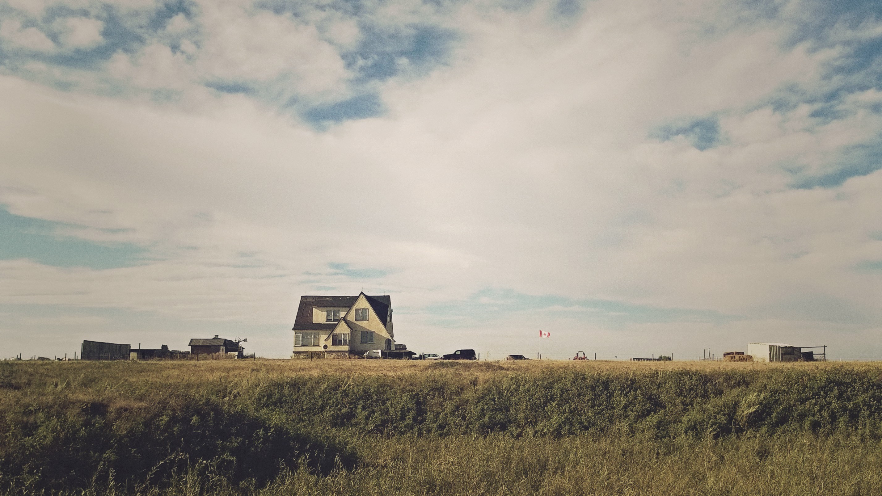
Big house in Mormon town

Prairies with Rocky Mountains

Fence 1
WP_20150819_035 (2)
Topographic Map of Range Road, Range Rd, Warner County No. 5, AB T0K, Canada
Find elevation by address:

Places near Range Road, Range Rd, Warner County No. 5, AB T0K, Canada:
Raymond
Range Road 215
Range Road 221
Magrath Stake Campground
North 4 Street East
228 East 2 Ave S
228 East 2 Ave S
Magrath
150 Tudor Crescent S
Canyon Meadows Road West
The Canyons
Rivergrove Chase West
2822 6a Ave S
2822 6a Ave S
90 Riverford Cl W
Riverstone
1250 8 Ave S
Upper Eastside
419 14 St S
Lethbridge
Recent Searches:
- Elevation of Corso Fratelli Cairoli, 35, Macerata MC, Italy
- Elevation of Tallevast Rd, Sarasota, FL, USA
- Elevation of 4th St E, Sonoma, CA, USA
- Elevation of Black Hollow Rd, Pennsdale, PA, USA
- Elevation of Oakland Ave, Williamsport, PA, USA
- Elevation of Pedrógão Grande, Portugal
- Elevation of Klee Dr, Martinsburg, WV, USA
- Elevation of Via Roma, Pieranica CR, Italy
- Elevation of Tavkvetili Mountain, Georgia
- Elevation of Hartfords Bluff Cir, Mt Pleasant, SC, USA