Elevation of Rangamati Tea Garden, West Bengal, India
Location: India > West Bengal > Jalpaiguri >
Longitude: 89.4316601
Latitude: 26.8133249
Elevation: 240m / 787feet
Barometric Pressure: 98KPa
Elevation Map:
Satellite Map:
Related Photos:

1 View towards the Torsa River

the Message of Peace

At Rinchinding Gompa, Bhutan

Stupas at Rinchinding Gompa, Bhutan

Monks' laundry at Rinchinding Gompa, Bhutan

Welcome to Bhutan
View over Phuntsholing and the river Torsa

Jaigaon / জয়গাওঁ (India) - Border Street

2 View towards the Torsa River

Beautiful Bhutan

Bhutan-19

Raimatang...

Jaigaon-3956

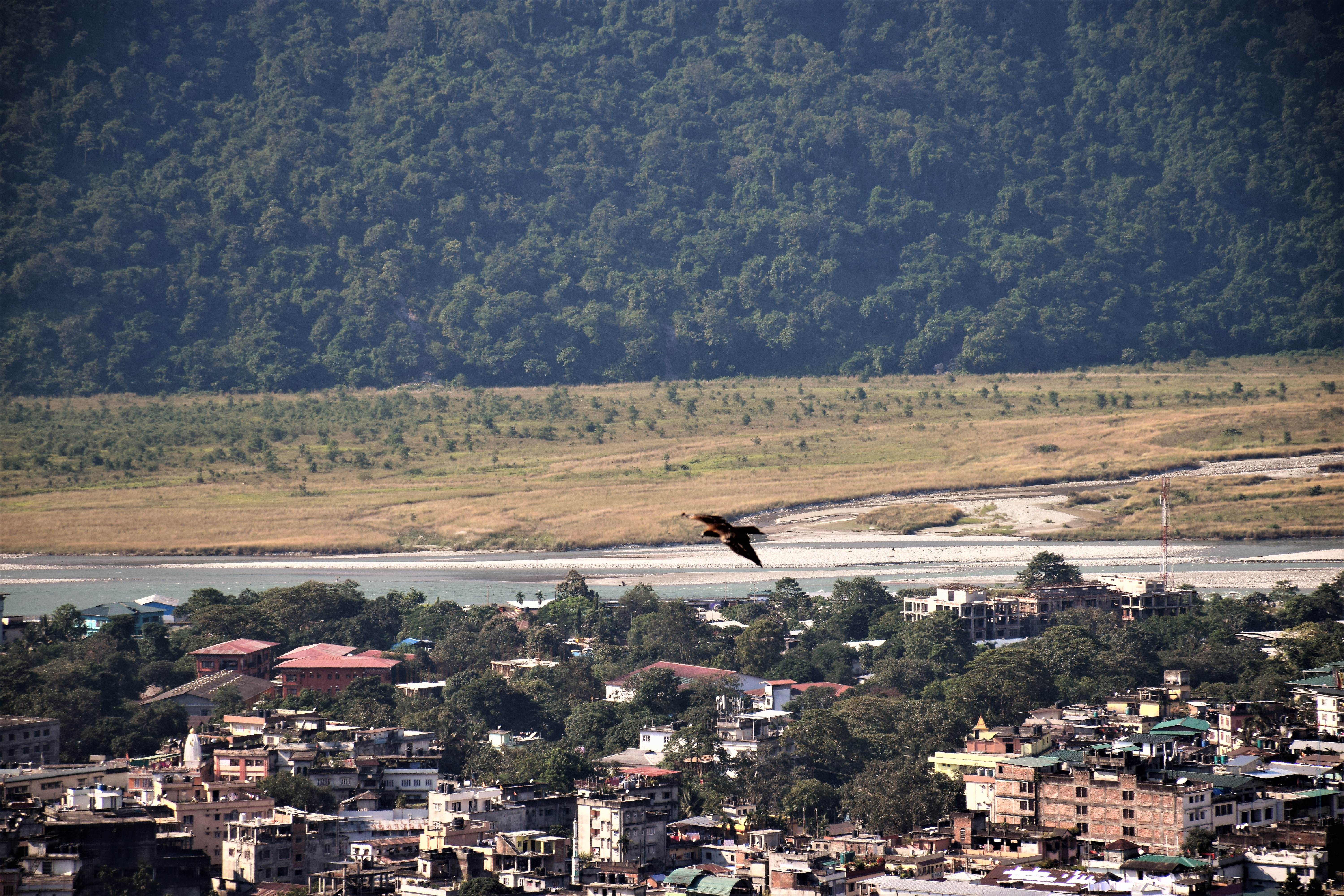
Phuntsholing and Jaygaon from hill top, Torsa river at the far end

Lone worker

Beautiful Bhutan

On sources near horizons... Himalayan backdrops flying over Jalpaiguri enroute Guwahati... #Himalayas #flightphoto #flightphotography #aerialphotography #landscapes #mountains #nature #rivers #iphone4s #iphonography #travel

Buy it or don't.. #ForReal #Scenic

Chukha, Bhutan
Topographic Map of Rangamati Tea Garden, West Bengal, India
Find elevation by address:

Places near Rangamati Tea Garden, West Bengal, India:
Central Dooars Tea Garden.
Radharani Tea Garden
Toorsa Tea Garden
Phuentsholing
Dalsingpara Tea Garden
Chuapara Tea Garden
Raimatang Tea Estate
Lepchakha
Hantupara Tea Garden
Garganda Tea Garden
Dumchipara Tea Garden
Lankapara Tea Garden
Gomtu Road
Makrapara Tea Garden
Gomtu
Garochira Eco-tourism Centre
Chukha
Dalmore Tea Garden
Chhukha
Chamurchi Hill
Recent Searches:
- Elevation of Corso Fratelli Cairoli, 35, Macerata MC, Italy
- Elevation of Tallevast Rd, Sarasota, FL, USA
- Elevation of 4th St E, Sonoma, CA, USA
- Elevation of Black Hollow Rd, Pennsdale, PA, USA
- Elevation of Oakland Ave, Williamsport, PA, USA
- Elevation of Pedrógão Grande, Portugal
- Elevation of Klee Dr, Martinsburg, WV, USA
- Elevation of Via Roma, Pieranica CR, Italy
- Elevation of Tavkvetili Mountain, Georgia
- Elevation of Hartfords Bluff Cir, Mt Pleasant, SC, USA