Elevation of Ramgarh, Jharkhand, India
Location: India > Jharkhand >
Longitude: 85.56121
Latitude: 23.6523678
Elevation: 319m / 1047feet
Barometric Pressure: 98KPa
Elevation Map:
Satellite Map:
Related Photos:

Confluence of River Damodar and River Bhairavi

Rajrappa Waterfalls

Confluence of River Damodar and River Bhairavi
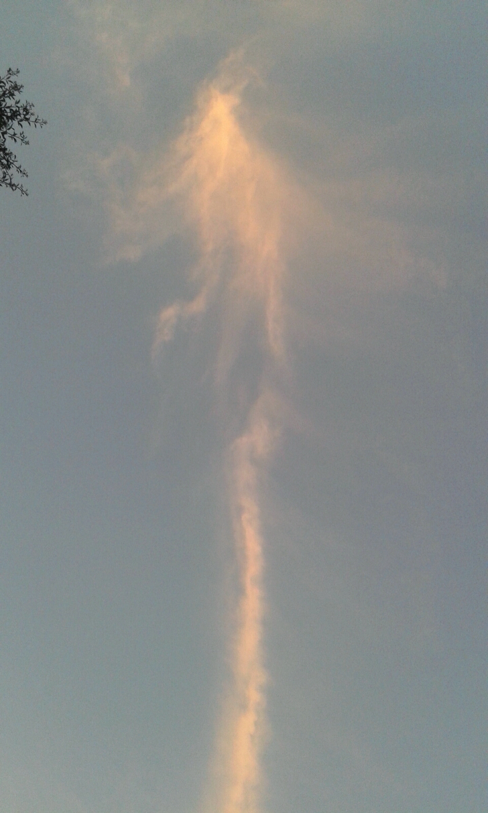
beauty of the sunset cloud ......

Chhinnamasta Temple Rajrappa

Chhinnamasta Temple Rajrappa
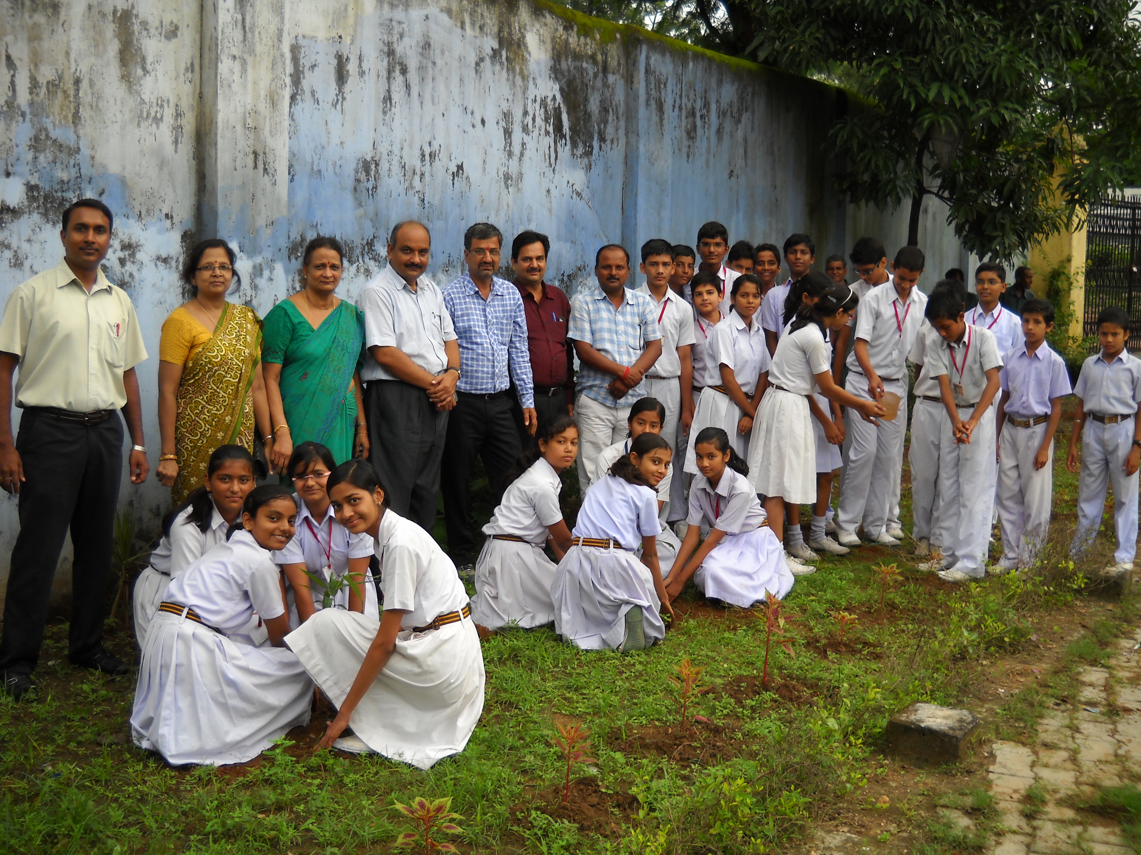
Plantation by the ECO Club-2012 (13)
Topographic Map of Ramgarh, Jharkhand, India
Find elevation by address:

Places in Ramgarh, Jharkhand, India:
Places near Ramgarh, Jharkhand, India:
Mount Litera Zee School Ramgarh Cantt
Ramgarh Cantonment
Gola
Jharkhand
Ranchi
Kanke
Bariatu Hill
Bariatu
Ranchi
Gosaintola
Ranchi
Barkagaon
Burmu
Nagri
Tandwa
Khalari
Bhandra
Chanho
Mccluskieganj
Bero
Recent Searches:
- Elevation of Corso Fratelli Cairoli, 35, Macerata MC, Italy
- Elevation of Tallevast Rd, Sarasota, FL, USA
- Elevation of 4th St E, Sonoma, CA, USA
- Elevation of Black Hollow Rd, Pennsdale, PA, USA
- Elevation of Oakland Ave, Williamsport, PA, USA
- Elevation of Pedrógão Grande, Portugal
- Elevation of Klee Dr, Martinsburg, WV, USA
- Elevation of Via Roma, Pieranica CR, Italy
- Elevation of Tavkvetili Mountain, Georgia
- Elevation of Hartfords Bluff Cir, Mt Pleasant, SC, USA