Elevation of Ralston Rd, Richmond, VA, USA

Location: United States > Virginia > Henrico County > Tuckahoe > Tuckahoe >

Longitude: -77.557531

Latitude: 37.5730068

Elevation: 56m / 184feet

Barometric Pressure: 101KPa

Elevation Map:

elevation map of Ralston Rd, Richmond, VA, USA

Satellite Map:

Satellite map of Ralston Rd, Richmond, VA, USA

Related Photos:

richmond richmondvirginia jamesriver belleilse bridge pedestrianbridge outdoor hiking walking excercise history mountainbiking outside virginia nature water virginiarivers architecture curves
A bridge over a bridge, over not so troubled waters.
bridges virginia richmond nightshots jamesriver canon16354l skylines riversandstreams reflections january starbursts 2017 railroadtrestles january2017
Night on Richmond Riverfront
richmondva richmondvirginia richmond jamesriver river nightshot cold cityscape
Heading back to the city
city two woman skyline night photography lights virginia nikon cityscape bokeh richmond va iphone d810
Sharing the view #RVA
trees painterly water beautiful virginia view artistic scenic richmond rva jamesriver greatshiplockpark chapelisland
Water view
fisheyelens richmondvirginia jamesriver brownsislanddamwalk river rapids skyline railroad trestle bridge civilwar brownsisland water
James River - Richmond, VA
history virginia nikon gracie richmond explore allrightsreserved stjohnschurch churchhill d60 loveyourpointofviewgracie
St. John's Church
virginia richmond richmondva rollcloud richmondrollcloud virginiarollcloud arcuscloud richmondarcuscloud cloud downtown downtownrichmond skyline richmondskyline
Roll Cloud over Downtown Richmond
flickrfriday vanishingpoint em1mkii rust walkway perspective
Pipeline walkway
cats kitty kitten
Kiwi Perched on Mattress
The View that Named the City-Libby Hill Park on Church Hill-Richmond Virginia 06853
winter virginia parks february 2009 latelight rockwoodpark g10 ornamentals chesterfieldcounty localparks february2009 runningcedar
Running cedar
blue sky architecture clouds james virginia downtown day cloudy center richmond skynoir bybilldickinsonskynoircom
Looking up
bridge blue sunset summer sky usa skyline architecture reflections river landscape geotagged manchester photography james virginia smithsonian us photo nikon noir cityscape sigma arches richmond va photocontest rva waterscape fallline skynoir smithsonianchannel aerialamerica bybilldickinsonskynoircom
Sunset Bridge
drone dji phanton 4 rva richmond va aerial view renovated kanawha plaza urban green space park downtown virginia
Kanawha Plaza
sky storm clouds nikon diner hdr d300s
Silver Diner
old white house building museum america vintage court greek see virginia photo site downtown state district president richmond historic confederate capitol civilwar va end historical classical states mansion must tours confederacy attraction revival jeffersondavis henricocounty onasill nrgp
Richmond Virginia ~ White House of the Confederacy ~ Historic Building
2016 06 16 Main & Level Green
2016 04 18 Main St
aerial city river dawn morning clouds fog nature time passing new day rva richmond va
One Day
blinkagain
gold rush
sunrise waterfowl james river jamesriver richmond virginia usa ngc
Early Morning Flight Along the James River, Richmond, VA 05657
New Market Corporation-Gambles Hill-Richmond Virginia 06871
richmond virginia unitedstates us groupenuagesetciel
Richmond Oct 27 2018
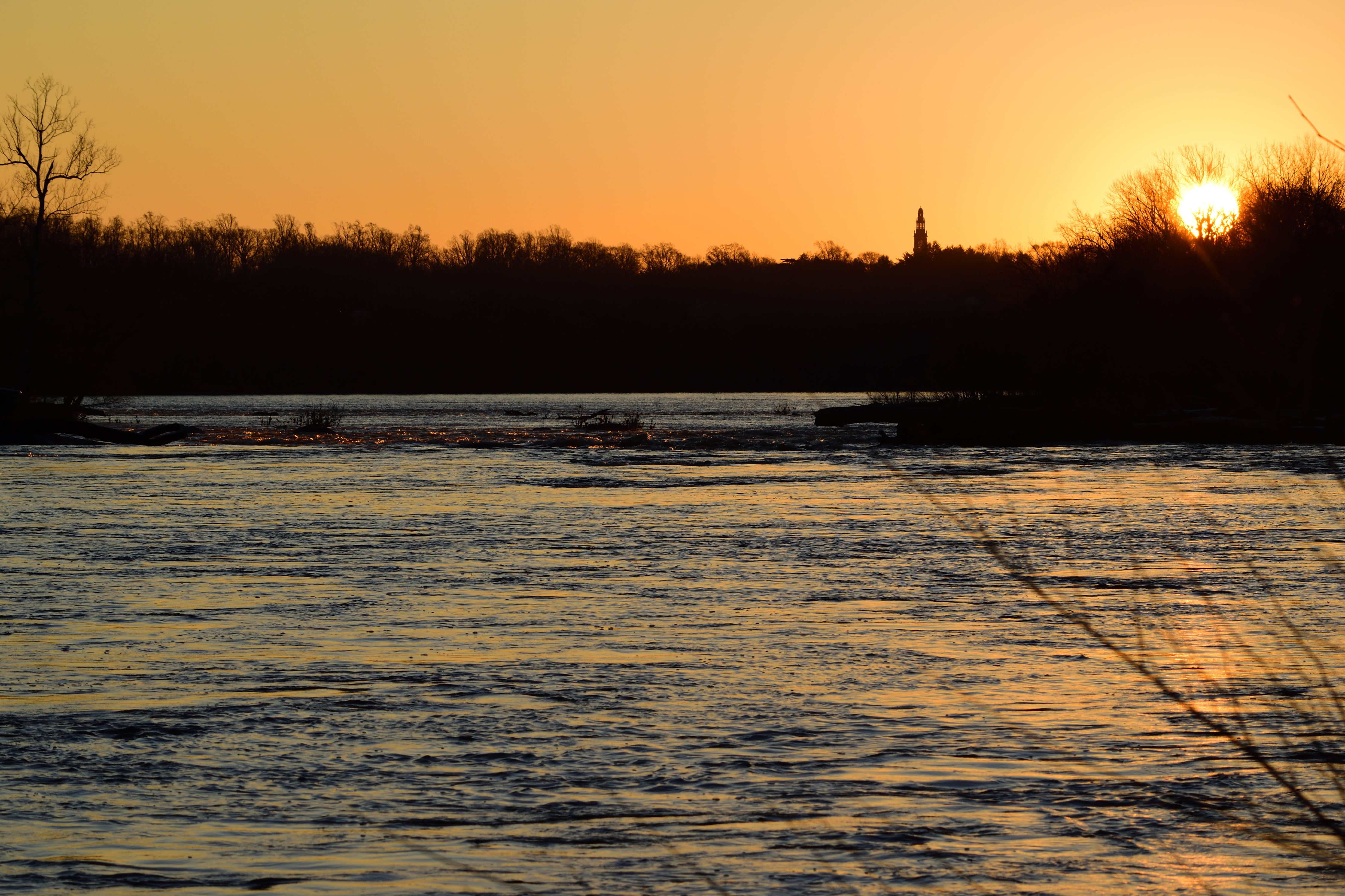
University of Richmond
richmondvirginia virginia richmondva railroad train trains rail coal cityscape landscape canal kanawhacanal city water railfan csx freighttrain
Passageways and byways.
jamesriverrichmondvirginia richmondskyline
Skyline from Mayo Bridge, Richmond, VA 01824
virginia richmond richmondva richmondcemetery richmondhollywoodcemetery virginiacemetery cemetery headstones graves gravestone graveyard tombstones
Richmond, VA - Hollywood Cemetery
above shadow woman sports girl training healthy long exercise pov health fitness runner overhead rva
long strides
home ferns canon702004l2 virginia may 2020 flowersandplants chesterfieldcounty may2020
Subtle Beauty
virginia chesterfieldcounty flowersandplants maples fallcolor overcast latelight november2018 november 2018 canon702004l
Evening Gold
virginia richmond riversandstreams jamesriver bridges railroadbridges csxalinebridge sunsets march2017 march 2017 canon16354l
CSX A-Line Bridge & James River
usa white lake reflection tree photography virginia us path unitedstatesofamerica foggy eerie willow dreamy lonely melancholic blak
Foggy Path by the Lake
churchhill richmond va virginia rva centralvirginia city downtown urban skyline sunset color dark night longexposure timelapse 2017 february zachclarke2 zachclarke nikon nikond5100 explore explored sky clouds purple red blue watertower shockoebottom mainstreetstation trainstation panorama landscape
Church Hill (explored)
flowersplants fall landscape richmond virginia unitedstates
American Ruins
winter sun reflection river horizon wide rapids va rva intothesun sunward
Cold Earth
winter cold evening frozen twilight dusk
Cold Winter Dusk
park trees winter snow cold bench landscape virginia richmond va rva
American Elm
outside water sky nature night light landscape city river bw blackandwhite comet neowise richmond rva jamesriver astrophotography lightpollution canon
Comet over Richmond
richmond rva richmondva va virginia capital 2018 february zachclarke2 zachclarke jamesriver jamesriverparksystem james river water overcast fog rain mood moody dark contrast atlanticcoastlinebridge aline alinebridge bridge trainbridge amtrak csx white black
Atlantic Coastline Bridge
richmond ponypasture jamesriver river dawn virginia sunrise carillon landscape nikond5500 water explored
Pony Pasture Dawn (Explored)