Elevation of Railey Rd, Summerville, GA, USA

Location: United States > Georgia > Chattooga County > Summerville >

Longitude: -85.413896

Latitude: 34.531756

Elevation: 226m / 741feet

Barometric Pressure: 99KPa

Elevation Map:

elevation map of Railey Rd, Summerville, GA, USA

Satellite Map:

Satellite map of Railey Rd, Summerville, GA, USA

Related Photos:

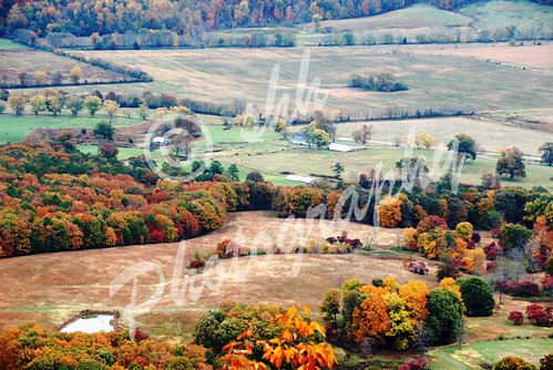
alabama foliage valley
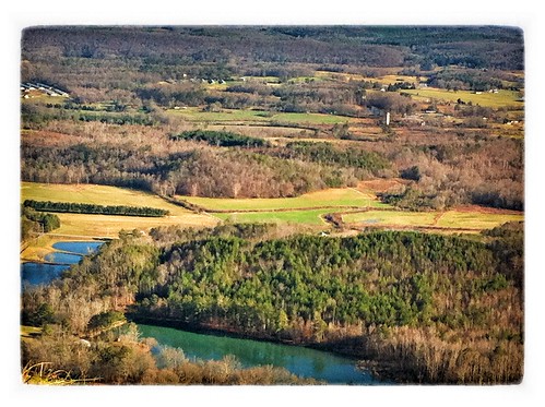
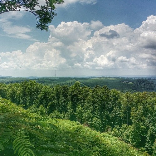
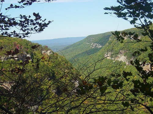
Scenic view
uploaded:by=flickstagram instagram:photo=317222216162600904206508832 instagram:venue_name=crystallakelodge instagram:venue=44612674
Forgot to take any photos of...
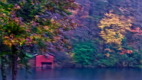
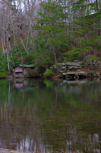
detail nikon boathouse impressionistic topaz delos littleriver simplify d300 redboathouse
Impressionist - Little Red Boathouse
pigeonmountain
view atop Pigeon Mountain. while eating a peanut butter and jelly sandwich.
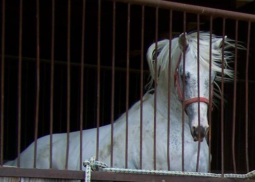
horses horse black animal animals appaloosa performance tags foundation leopard stallion studservice eventing allaround homozygous foundationbred colorproducer stallionservice geo:lat=34572433 geo:lon=85576983 blackfewspot equinenow:user=34104 blackfewspotleopardappaloosastallion
Black Fewspot Leopard 93%fpdeligible Appaloosa Stallion
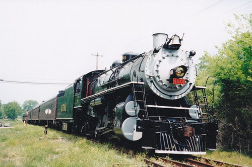
railroad chattanooga museum train georgia tn steam mikado locomotive 282 trion tvrm sr4501
SR 4501 at Trion, Ga
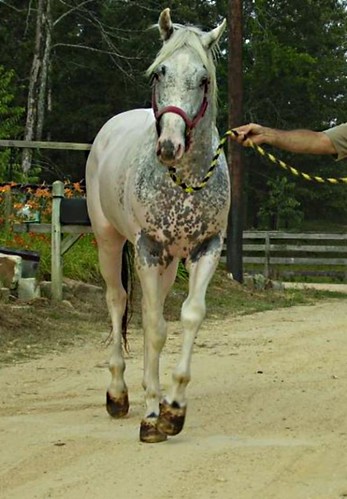
horses horse black animal animals appaloosa tags foundation leopard stallion studservice stallionservice blackfewspot equinenow:user=34104 blackfewspotleopardappaloosastallion geo:lat=345795282 geo:lon=855905204
Color Producer! 93%fpd Eligible Stud Service
paradisegardens gliddenpaints teamdepot
Paradise Gardens HD Community Svc (Glidden) 08
paradisegardens gliddenpaints teamdepot
Paradise Gardens HD Community Svc (Glidden) 07
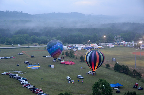
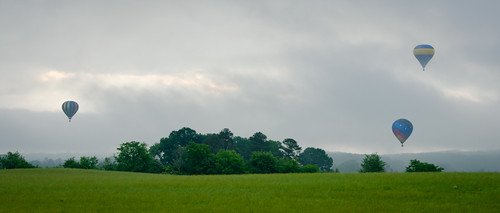
hot festival fog air balloon foggymorning 2011 nwgeorgia menloga northwestgeorgiahotairballoonfestival tillotsonfield
The View Ahead...
carnival hot festival fog colorful air balloon foggymorning 2011 nwgeorgia menloga northwestgeorgiahotairballoonfestival tillotsonfield
Launch Field
georgia summerville unitedstates us
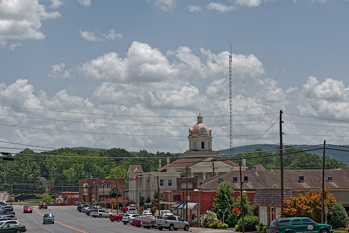
Downtown Summerville Georgia
instagramapp square squareformat iphoneography uploaded:by=instagram
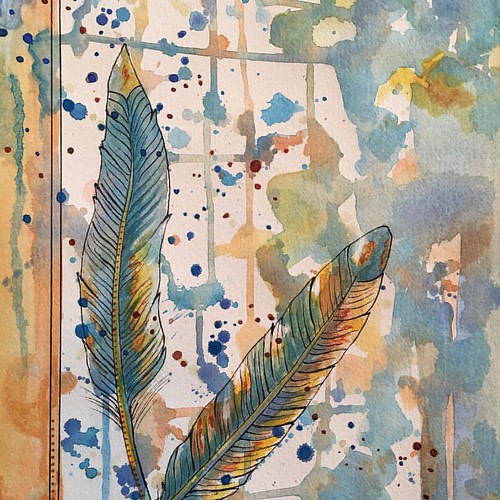
This piece I used watercolors, but continue on with my study of feathers and the spiritual meanings they may contain for us. I haven't named it yet...own to suggestions. What do you feel/see as you view this piece?
Checking Out the View
show ranch horses horse black animal animals appaloosa tags trail flashy filly eventing allaround dreamfinder appaloosaforsale mansfieldcomanche equinenow:user=34104 geo:lat=345795282 geo:lon=855905204
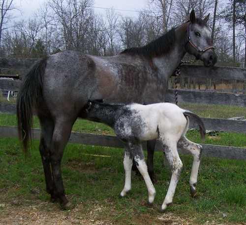
Black Snowcap Filly for Sale at Rocky Hollow Ranch
thedeepsouth011pedited1
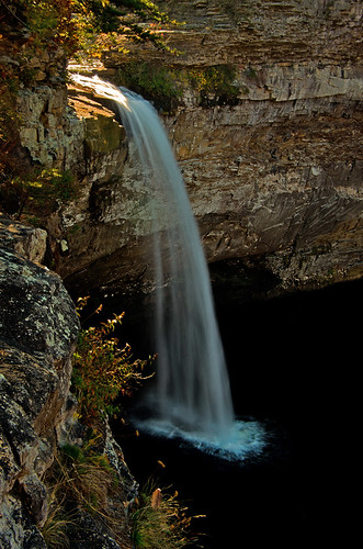
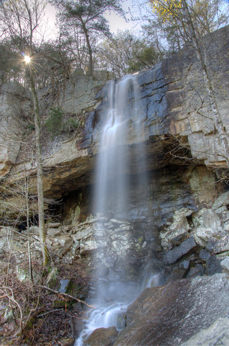
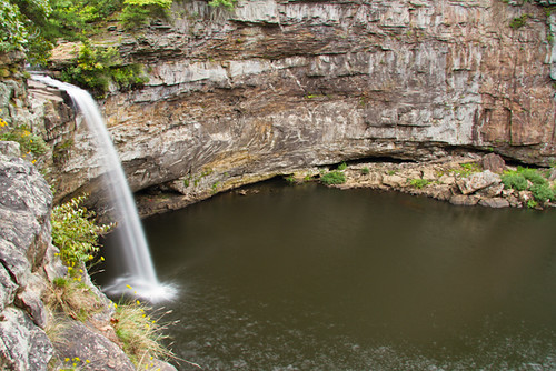
DeSoto Falls in Alabama
thedeepsouth019pedited1
DeSoto Falls in Alabama
chattoogariver lyerlydam
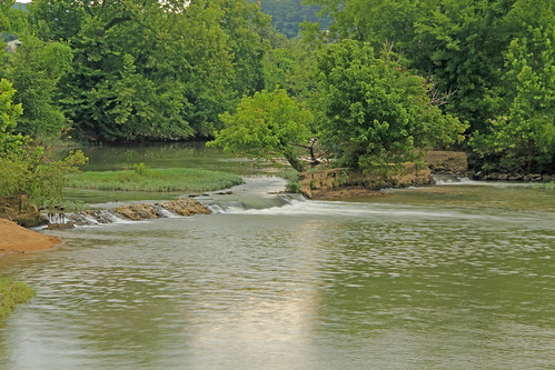
Lyerly Dam, Chattooga River, Lyerly, Chattooga County, Georgia 1
thedeepsouth018pcedited1
DeSoto Falls in Alabama
A walk in the pasture 02
camping georgia rocktown
North Georgia
NorthWest Georgia
square squareformat iphoneography instagramapp uploaded:by=instagram
Overlook #thisismyga
travel usa grass birmingham alabama dry
Dry Grass
hot festival fog air balloon foggymorning 2011 nwgeorgia menloga northwestgeorgiahotairballoonfestival tillotsonfield
Menlo-Balloon-0384
pigeonmountain ephemeralpond crockfordpigeonmountainwildlifemanagementarea
Ephemeral Pond No. 1, Pigeon Mountain, Crockford-Pigeon Mountain Wildlife Management Area, Walker County, Georgia 1
plants reflection nature water grass leaves rock stone canon waterfall leaf spring al weeds stream alabama cave bedrock mentone 60d canon60d strawbalehouseblueberryfarm
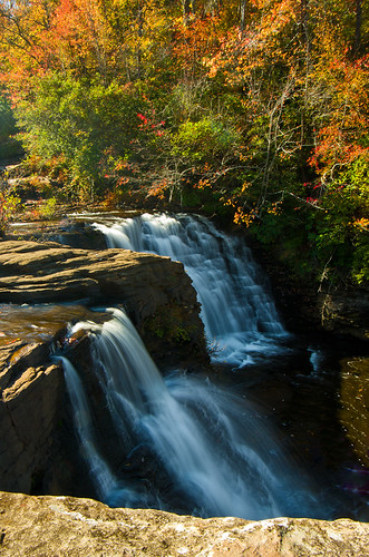
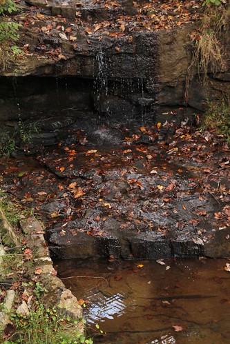
Spring Waterfall
DeSoto Falls and Cliffs
chattoogariver lyerlydam
Lyerly Dam, Chattooga River, Lyerly, Chattooga County, Georgia 3
rocktown
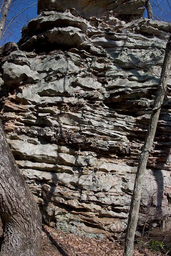
Rock Town-4
square squareformat earlybird iphoneography instagramapp uploaded:by=instagram foursquare:venue=4bd4adc329eb9c746b2392e1
Roadside photoshoot pit stop
Cloudland Canyon
rocktown
Rock Town-15
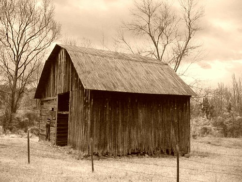
sepia barn landscape
DSC00377-Ye Old Barn
waterfall desotofalls bobrogers desotofallsroadmentoneal
De Soto Falls 12-14-11 IMGP1635