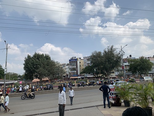
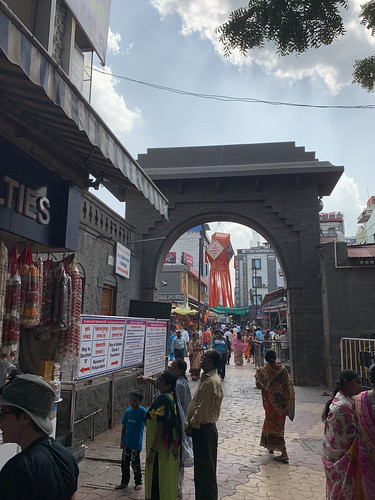
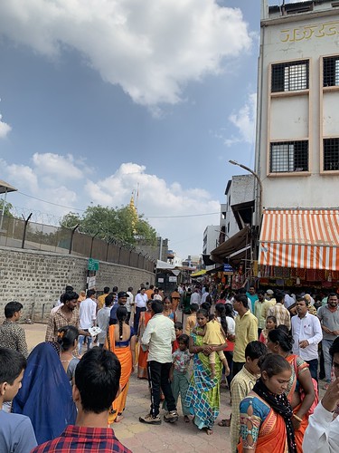
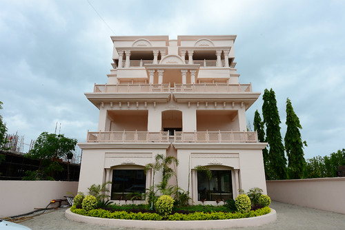
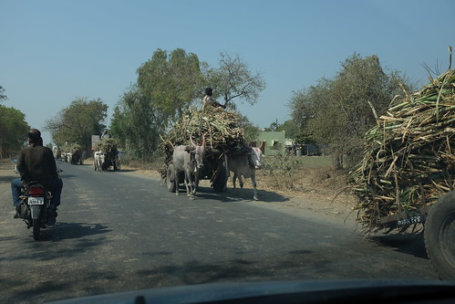
Elevation of Rahata, Maharashtra, India
Location: India > Maharashtra > Ahmednagar >
Longitude: 74.4836669
Latitude: 19.7114578
Elevation: 521m / 1709feet
Barometric Pressure: 95KPa
Related Photos:
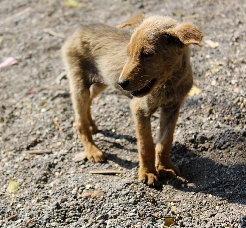
Hey cutie ???????? #oft2d #oft2dgang #doglover #puppy #aurangabad #elloracaves #2k14 #canon #canon60d #18_55mm Ellora caves, Aurangabad, 2014
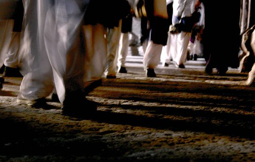
School girls walking by the Ellora cave corridor ???? Ellora Caves 2014 #oft2d #oft2dgang #elloracaves #2k14 #aurangabad #photography #maharashtra #trip
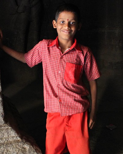
This cute guy came to me and asked me to click a photo of his ???? Happy he, happy me ???? Ellora caves 2014 #oft2d #OFT2DGang #aurangabad #2k14 #elloracaves #cuteboy #love #trip #maharashtra
Topographic Map of Rahata, Maharashtra, India
Find elevation by address:

Places near Rahata, Maharashtra, India:
Shirdi
Kopargaon
Angangaon
Yeola Range Forest Office
Yeola
Nandur Shingote
Ankai Fort
Tankai Fort
Karanjgaon
Sinnar
Niphad
Manmad
Bardiya Nagar
Nashik
Chandwad
Ojhar
Nehru Nager
Nehru Nagar
Nanavali
Nashik
Recent Searches:
- Elevation of Corso Fratelli Cairoli, 35, Macerata MC, Italy
- Elevation of Tallevast Rd, Sarasota, FL, USA
- Elevation of 4th St E, Sonoma, CA, USA
- Elevation of Black Hollow Rd, Pennsdale, PA, USA
- Elevation of Oakland Ave, Williamsport, PA, USA
- Elevation of Pedrógão Grande, Portugal
- Elevation of Klee Dr, Martinsburg, WV, USA
- Elevation of Via Roma, Pieranica CR, Italy
- Elevation of Tavkvetili Mountain, Georgia
- Elevation of Hartfords Bluff Cir, Mt Pleasant, SC, USA
