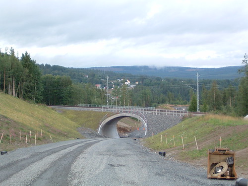
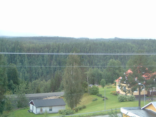
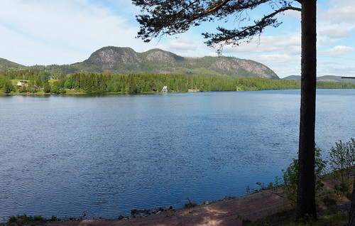
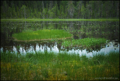
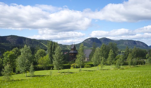
Elevation map of Ragunda N, Sweden
Location: Sweden > Jamtland County >
Longitude: 16.3665889
Latitude: 63.1246168
Elevation: 172m / 564feet
Barometric Pressure: 99KPa
Related Photos:
Topographic Map of Ragunda N, Sweden
Find elevation by address:

Places in Ragunda N, Sweden:
Places near Ragunda N, Sweden:
Östansjö
HÅRDGÅRDSBODARNA, 67 Sörbygden, Sweden
Bräcke Ö
Klärke, 41 Liden, Sweden
Klärke
Lidenvägen 6, 41 Liden, Sweden
Johannisberg, 10 Ljungaverk, Sweden
Johannisberg
Sundsvall V
Hullsjövägen 80, 13 Stöde, Sweden
Gräfte, 13 Stöde, Sweden
Gräfte
Nyhem
Sundsvall
Ånge So
LYBÄCK, 76 Stugun, Sweden
BRÄNNAN, 60 Bräcke, Sweden
Naggen, 12 Fränsta, Sweden
Naggen
Unnamed Road
Recent Searches:
- Elevation of Corso Fratelli Cairoli, 35, Macerata MC, Italy
- Elevation of Tallevast Rd, Sarasota, FL, USA
- Elevation of 4th St E, Sonoma, CA, USA
- Elevation of Black Hollow Rd, Pennsdale, PA, USA
- Elevation of Oakland Ave, Williamsport, PA, USA
- Elevation of Pedrógão Grande, Portugal
- Elevation of Klee Dr, Martinsburg, WV, USA
- Elevation of Via Roma, Pieranica CR, Italy
- Elevation of Tavkvetili Mountain, Georgia
- Elevation of Hartfords Bluff Cir, Mt Pleasant, SC, USA
