Elevation of Ragin Ln, Rock Hill, SC, USA
Location: United States > South Carolina > York County > Rock Hill >
Longitude: -81.029724
Latitude: 34.9584641
Elevation: 190m / 623feet
Barometric Pressure: 99KPa
Elevation Map:
Satellite Map:
Related Photos:

Bridge Over Shallow Water
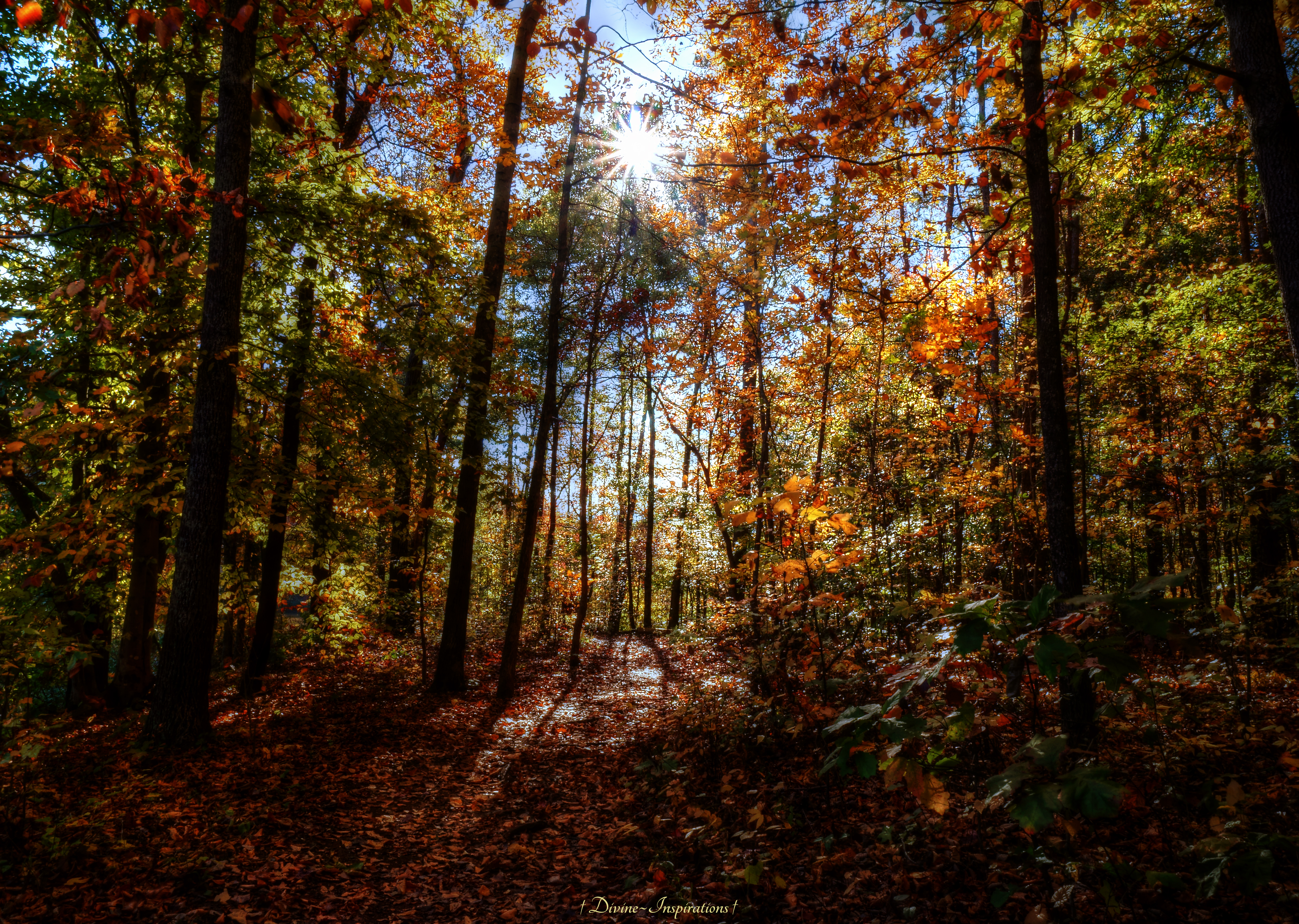
Guiding Light

Receding Waterline

The Wonders of Nature
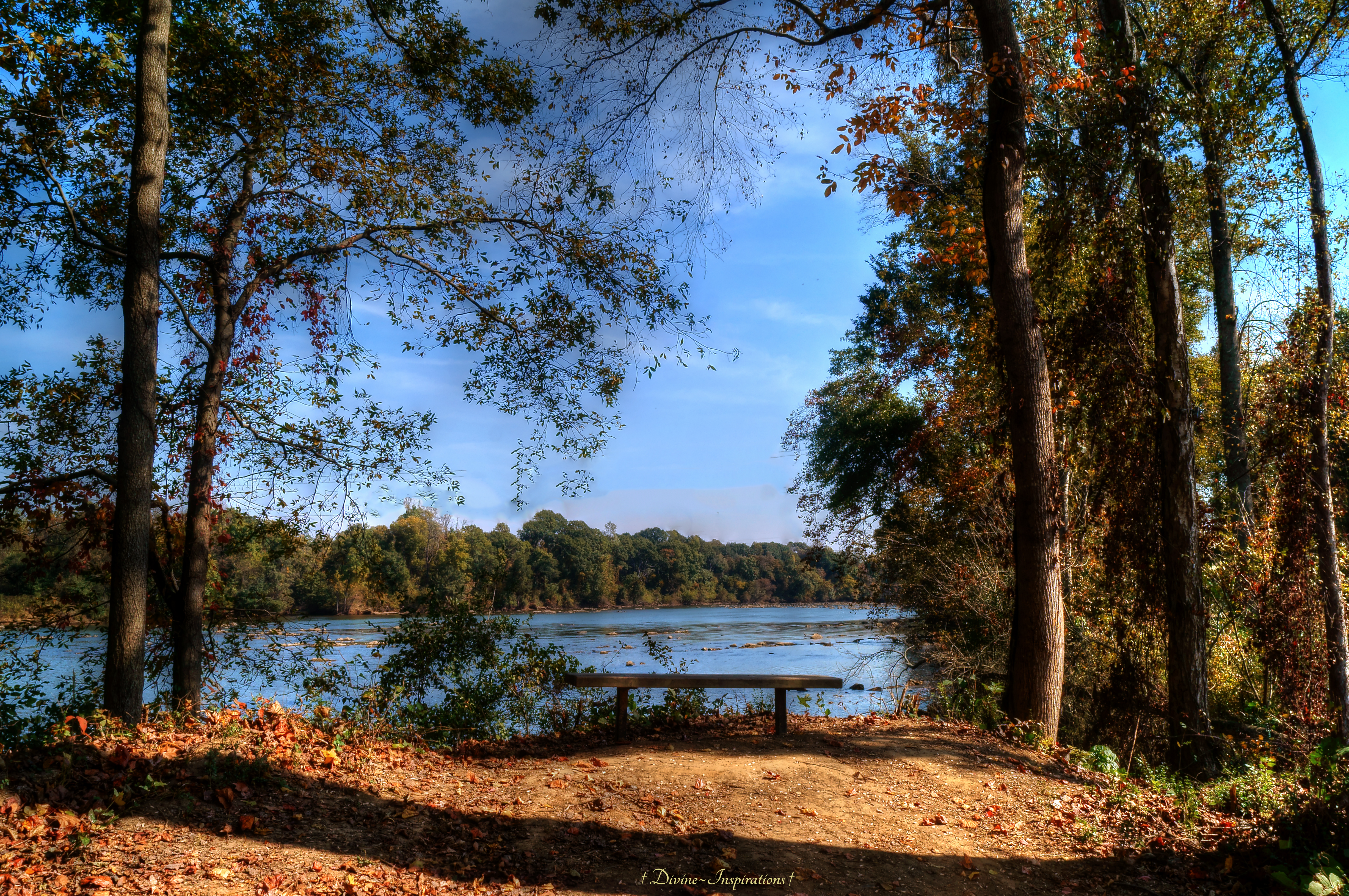
Bench With a View

I-77

Secret Entrance
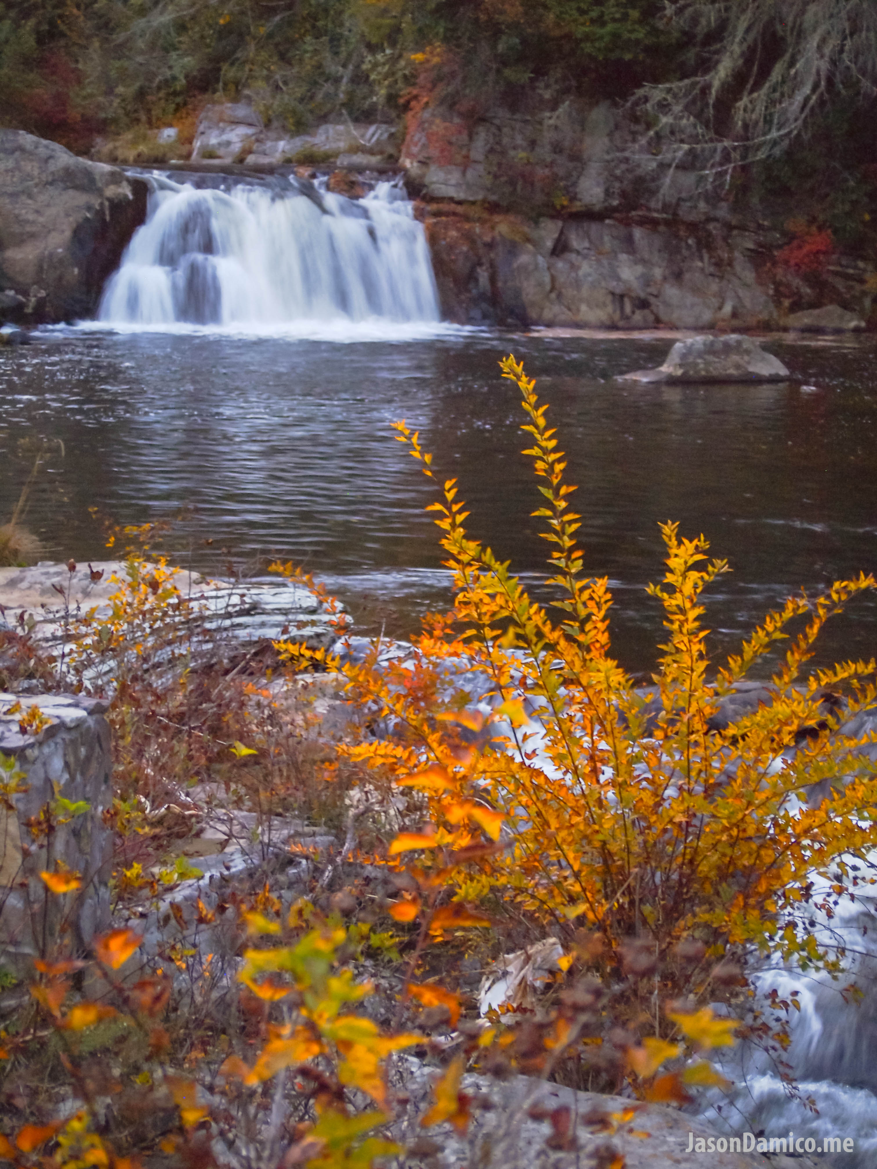
Beauty on the Banks
PA210373-Edit-Edit.jpg

PA230391.jpg

beautiful sunrise over farmland in south carolina

PA230390.jpg

The Migration

IMG_20131019_145459_394[1]

snowy morning

IMG_20131019_145516_057[1]
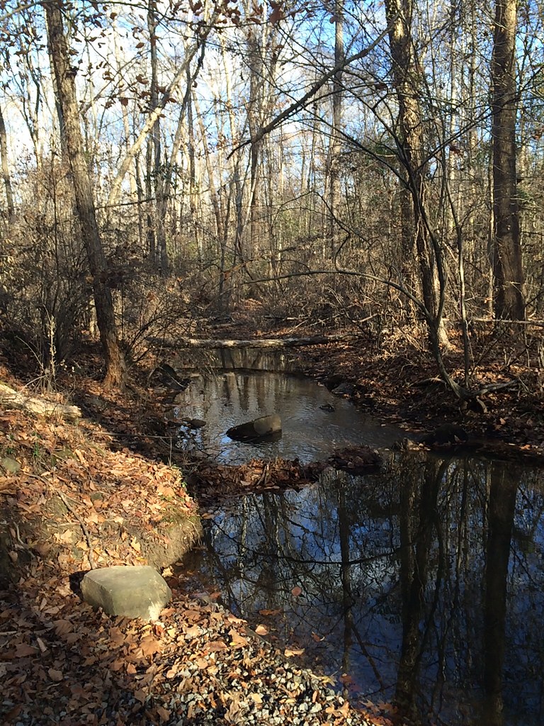
Haigler stream
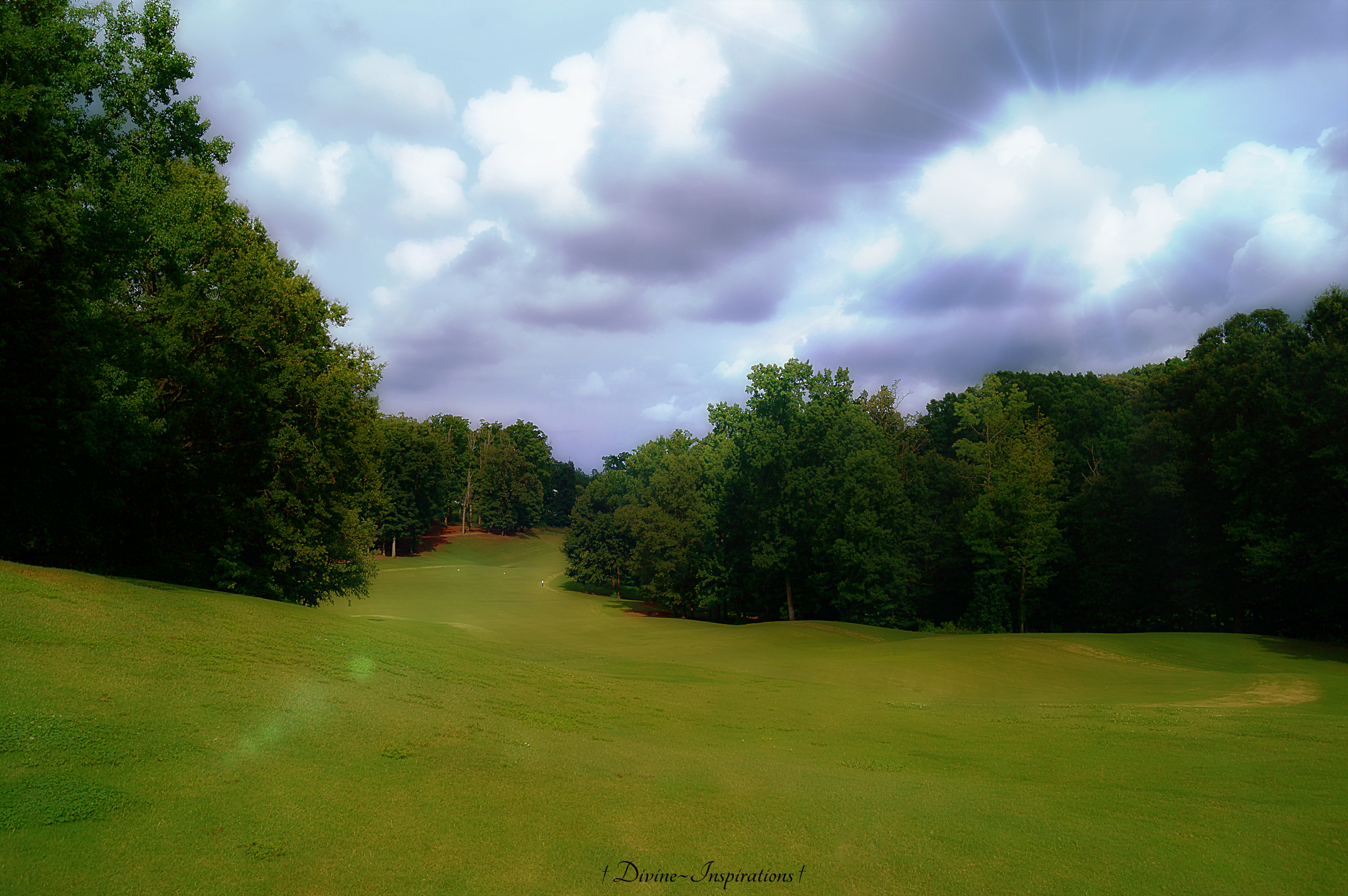
Top of the 5th Tee
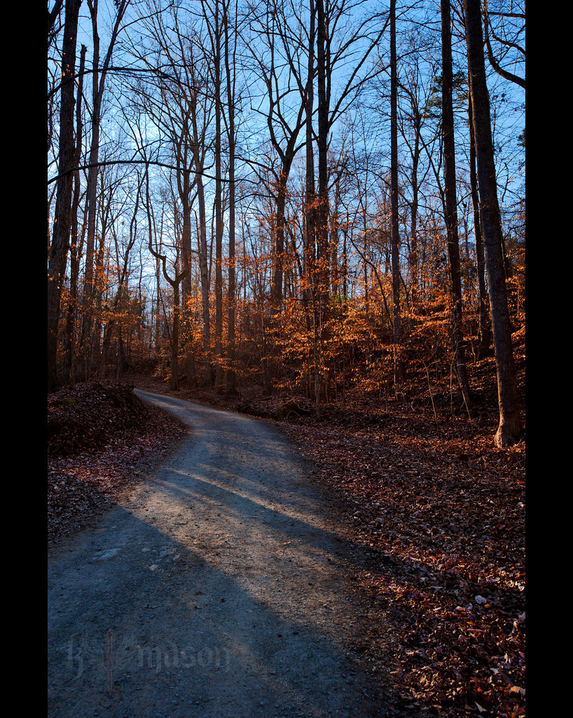
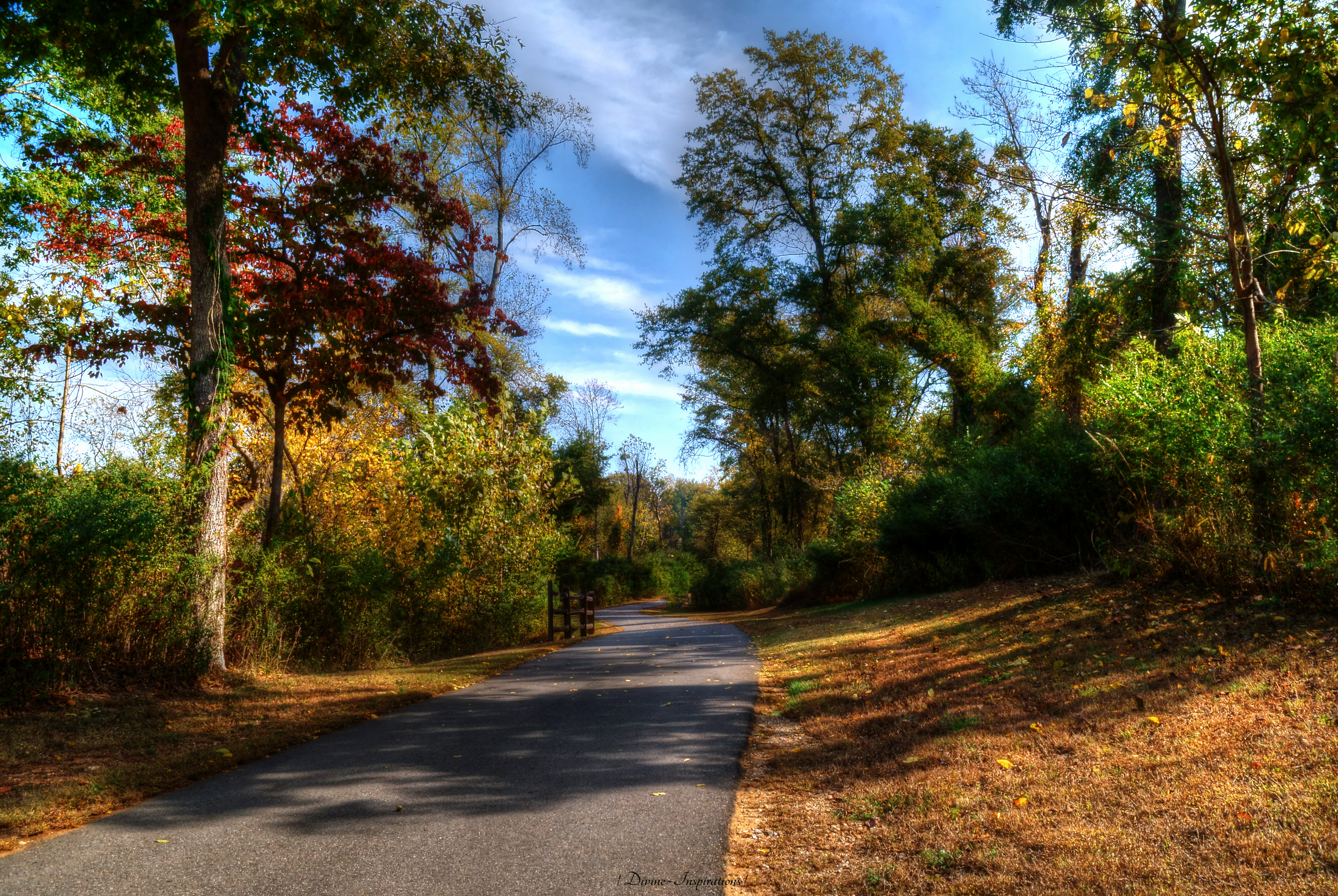
The path ahead

_J4K5015.jpg

_J4K4982.jpg
Topographic Map of Ragin Ln, Rock Hill, SC, USA
Find elevation by address:

Places near Ragin Ln, Rock Hill, SC, USA:
816 Charlotte Ave
Lanes Interiors & Floors
Winthrop University
Dr. Rajesh H. Kedar, Md
3136 Wimbledon Ln
1033 Williams St
Rock Hill, SC, USA
13 Church St, Rock Hill, SC, USA
Rock Hill
327 S Spruce St
2184 Raven Dr
2625 Cherry Rd
Meadow Lakes Rd, Rock Hill, SC, USA
Petsmart
800 Celriver Rd
803 Holdcroft Ln
721 Bluff Loop Rd
Allendale Circle
1405 Cole Ave
2848 Park Ridge Blvd
Recent Searches:
- Elevation of Corso Fratelli Cairoli, 35, Macerata MC, Italy
- Elevation of Tallevast Rd, Sarasota, FL, USA
- Elevation of 4th St E, Sonoma, CA, USA
- Elevation of Black Hollow Rd, Pennsdale, PA, USA
- Elevation of Oakland Ave, Williamsport, PA, USA
- Elevation of Pedrógão Grande, Portugal
- Elevation of Klee Dr, Martinsburg, WV, USA
- Elevation of Via Roma, Pieranica CR, Italy
- Elevation of Tavkvetili Mountain, Georgia
- Elevation of Hartfords Bluff Cir, Mt Pleasant, SC, USA