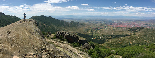
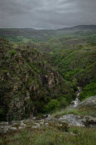
Elevation of Radov Rid, Macedonia (FYROM)
Location: Macedonia (fyrom) > Municipality Of Prilep >
Longitude: 21.7122222
Latitude: 41.2611111
Elevation: 634m / 2080feet
Barometric Pressure: 94KPa
Related Photos:
Topographic Map of Radov Rid, Macedonia (FYROM)
Find elevation by address:

Places near Radov Rid, Macedonia (FYROM):
Municipality Of Prilep
Derven Mountain House Road
Galichani, Galichani, Macedonia (FYROM)
Municipality Of Kavadarci
Plevenski Rid
Krivi Rid
Kavadartsi
Macedonia (fyrom)
Aridea
Agios Athanasios
Negotino
Municipality Of Bitola
Almopia
Bitola
Kiprou 48, Glifada 75, Greece
Municipality Of Negotino
Aridaia
Petrov Rid
Kato Kleines
Kato Kleines
Recent Searches:
- Elevation of Corso Fratelli Cairoli, 35, Macerata MC, Italy
- Elevation of Tallevast Rd, Sarasota, FL, USA
- Elevation of 4th St E, Sonoma, CA, USA
- Elevation of Black Hollow Rd, Pennsdale, PA, USA
- Elevation of Oakland Ave, Williamsport, PA, USA
- Elevation of Pedrógão Grande, Portugal
- Elevation of Klee Dr, Martinsburg, WV, USA
- Elevation of Via Roma, Pieranica CR, Italy
- Elevation of Tavkvetili Mountain, Georgia
- Elevation of Hartfords Bluff Cir, Mt Pleasant, SC, USA


