Elevation of Rabun Rd, Sautee Nacoochee, GA, USA
Location: United States > Georgia > White County > Sautee Nacoochee >
Longitude: -83.681681
Latitude: 34.692831
Elevation: 491m / 1611feet
Barometric Pressure: 0KPa
Related Photos:

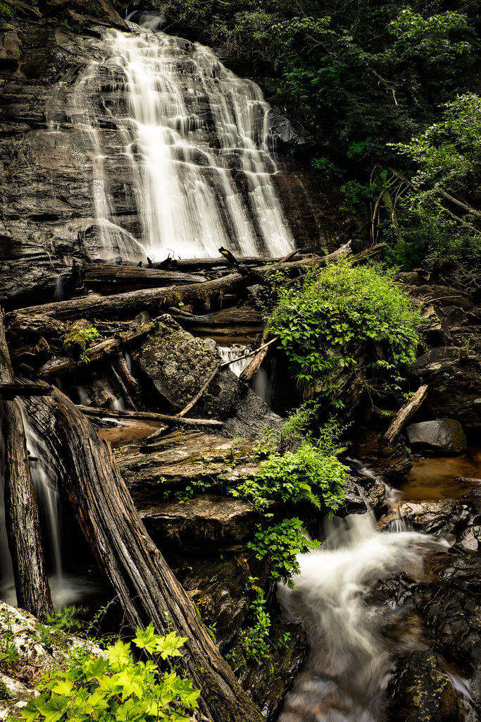
Maidenhair Falls

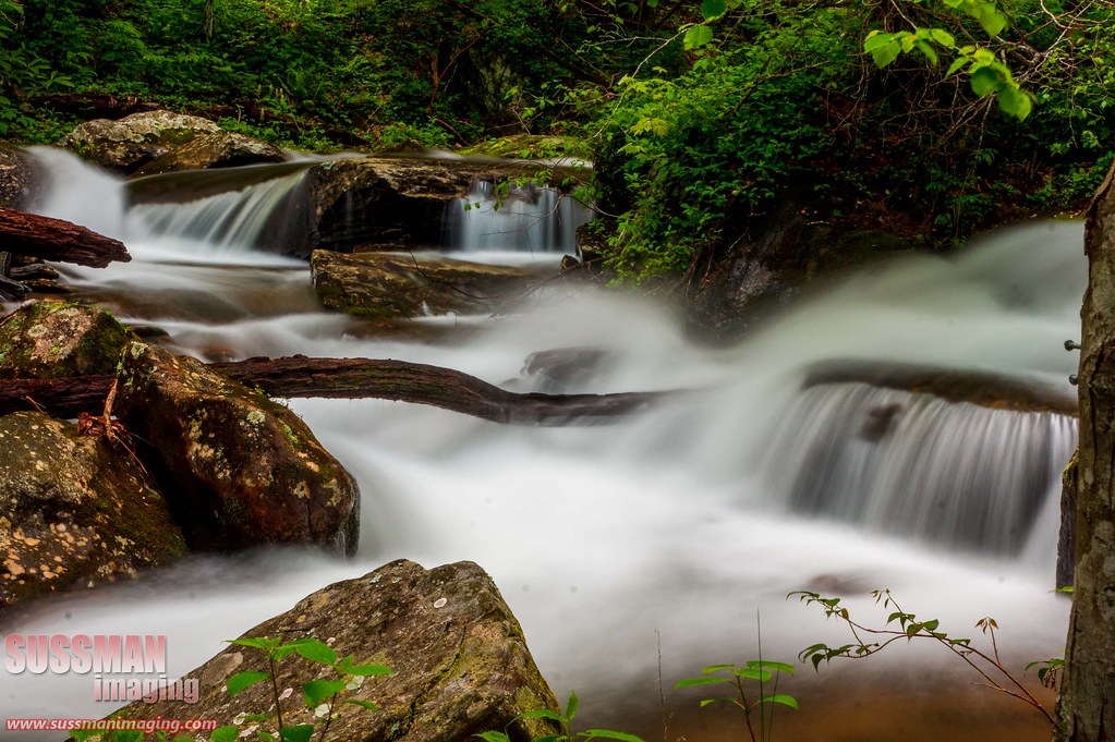
Raper Creek Falls

Maidenhair Falls

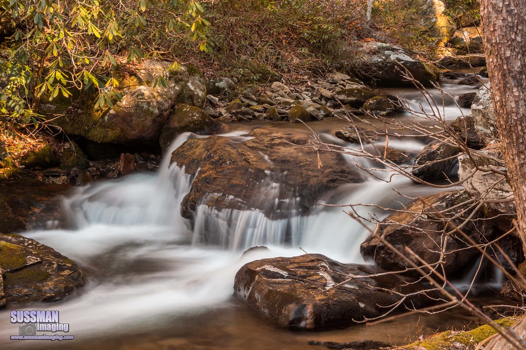
Dodd Creek Falls

Dodd Creek Falls

Winter Jewel

High Shoals Falls.

Maidenhair Falls

Dodd Creek Falls

Leading Light

Raper Creek Falls

Maindenhair Falls

Raper Creek Falls

Maidenhair Falls

Dodd Creek Falls

Raper Creek Falls

High Shoals Falls

Falls on Dukes Creek

Raper Creek Falls

Raper Creek Falls

Dukes Creek Falls

Anna Ruby Falls
Anna Ruby Falls

Horsetrough Falls
Anna Ruby Falls

High Shoals Falls

Blue Hole Falls

Raper Creek Falls
Anna Ruby Falls

Blue Hole Falls

Dukes Creek Falls
Topographic Map of Rabun Rd, Sautee Nacoochee, GA, USA
Find elevation by address:

Places near Rabun Rd, Sautee Nacoochee, GA, USA:
1825 Ga-17
GA-17, Sautee Nacoochee, GA, USA
592 Sautee Woods Trail
Sautee Nacoochee
Old Sautee Store|old Sautee Market
188 Eagle Talon Trail
188 Eagle Talon Trail
93 Eagle Talon Trail
GA-17, Clarkesville, GA, USA
172 Doe Run
119 Chestnut Point
Helen Tubing & Helen Water Park
310 Blue Ridge Dr
94 Autumn Hill Rd #15
94 Autumn Hill Rd #15
1795 Panorama Dr
688 Bahn Innsbruck
Innsbruck Resort & Golf Club
426 Edelweiss Strasse
80 Windchase Ln
Recent Searches:
- Elevation map of Greenland, Greenland
- Elevation of Sullivan Hill, New York, New York, 10002, USA
- Elevation of Morehead Road, Withrow Downs, Charlotte, Mecklenburg County, North Carolina, 28262, USA
- Elevation of 2800, Morehead Road, Withrow Downs, Charlotte, Mecklenburg County, North Carolina, 28262, USA
- Elevation of Yangbi Yi Autonomous County, Yunnan, China
- Elevation of Pingpo, Yangbi Yi Autonomous County, Yunnan, China
- Elevation of Mount Malong, Pingpo, Yangbi Yi Autonomous County, Yunnan, China
- Elevation map of Yongping County, Yunnan, China
- Elevation of North 8th Street, Palatka, Putnam County, Florida, 32177, USA
- Elevation of 107, Big Apple Road, East Palatka, Putnam County, Florida, 32131, USA
- Elevation of Jiezi, Chongzhou City, Sichuan, China
- Elevation of Chongzhou City, Sichuan, China
- Elevation of Huaiyuan, Chongzhou City, Sichuan, China
- Elevation of Qingxia, Chengdu, Sichuan, China
- Elevation of Corso Fratelli Cairoli, 35, Macerata MC, Italy
- Elevation of Tallevast Rd, Sarasota, FL, USA
- Elevation of 4th St E, Sonoma, CA, USA
- Elevation of Black Hollow Rd, Pennsdale, PA, USA
- Elevation of Oakland Ave, Williamsport, PA, USA
- Elevation of Pedrógão Grande, Portugal