Elevation of Rabbit Track Rd, Satsuma, FL, USA
Location: United States > Florida > Putnam County > Satsuma >
Longitude: -81.6367
Latitude: 29.5611
Elevation: 15m / 49feet
Barometric Pressure: 101KPa
Elevation Map:
Satellite Map:
Related Photos:

Captins log, 14 may

Looking east

Light Parade

Crossing the St. John's River just north of Palatka FL

Palatka Amtrak station (#0402)
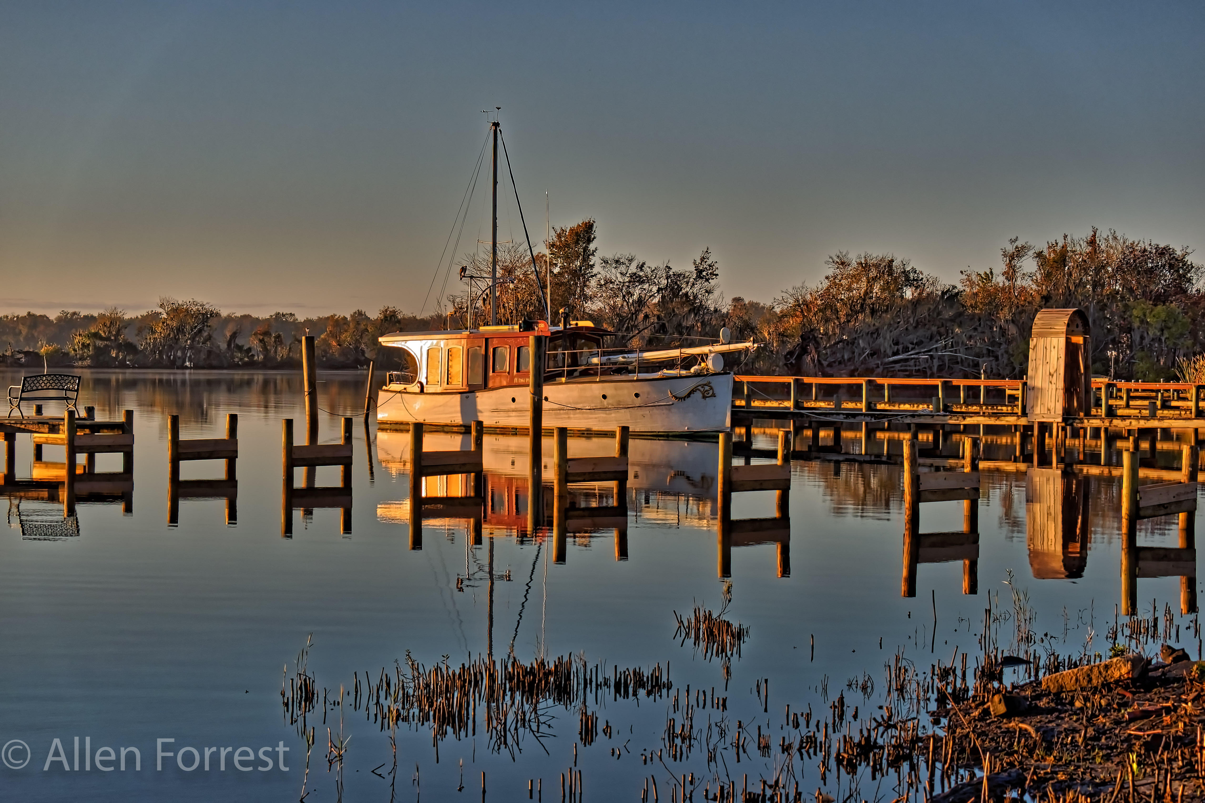
Old Palatka Boat
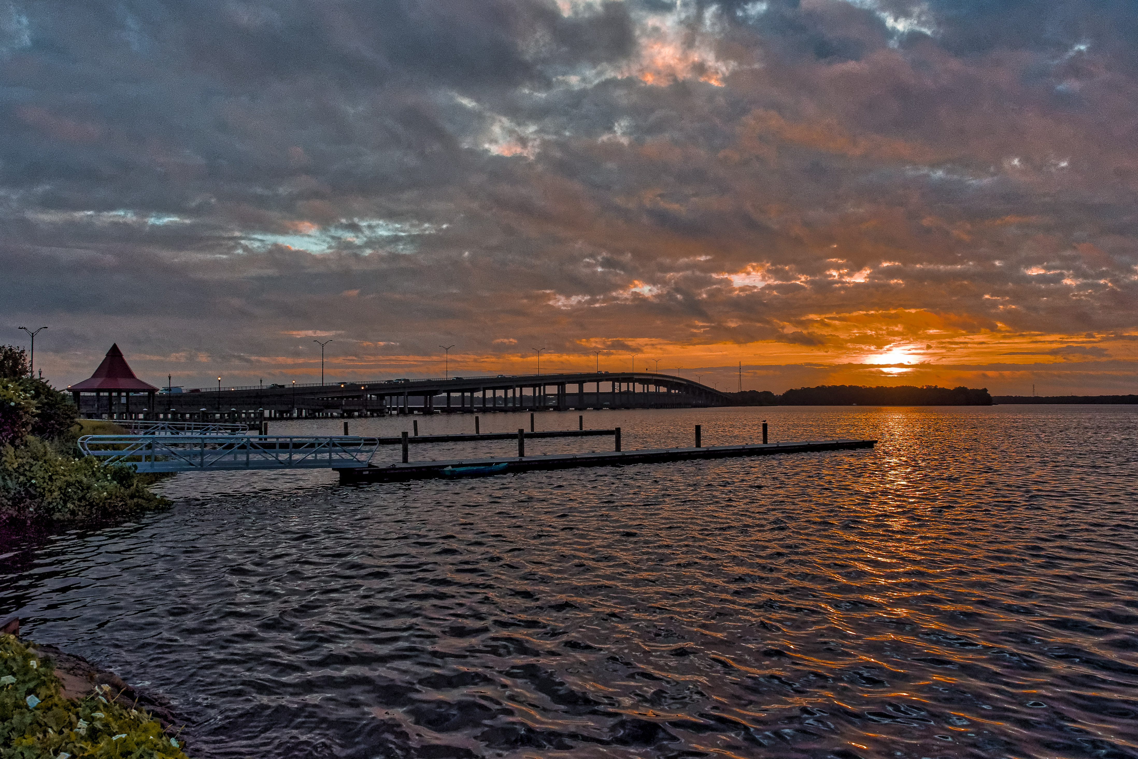
Memorial Bridge over the St. Johns
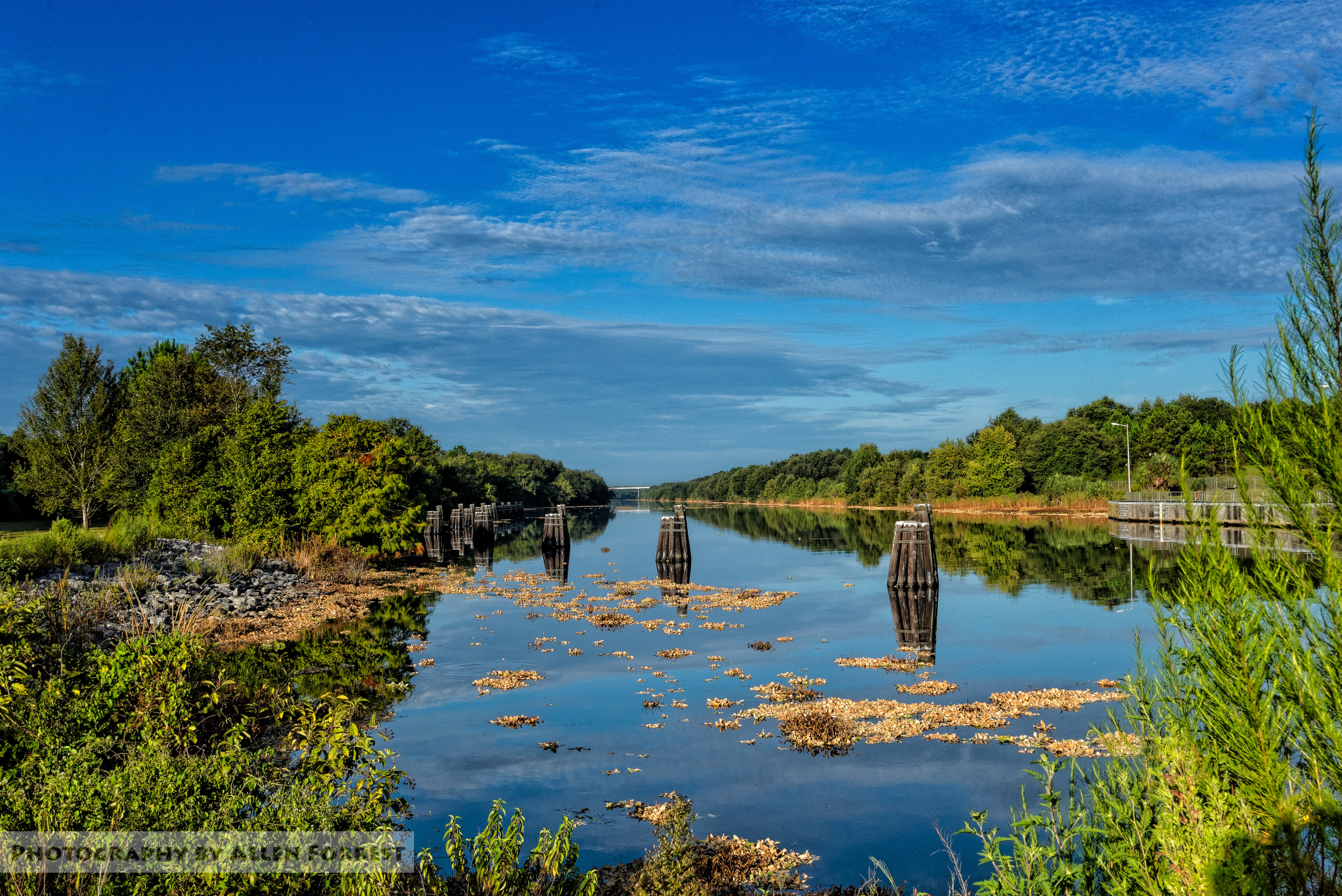
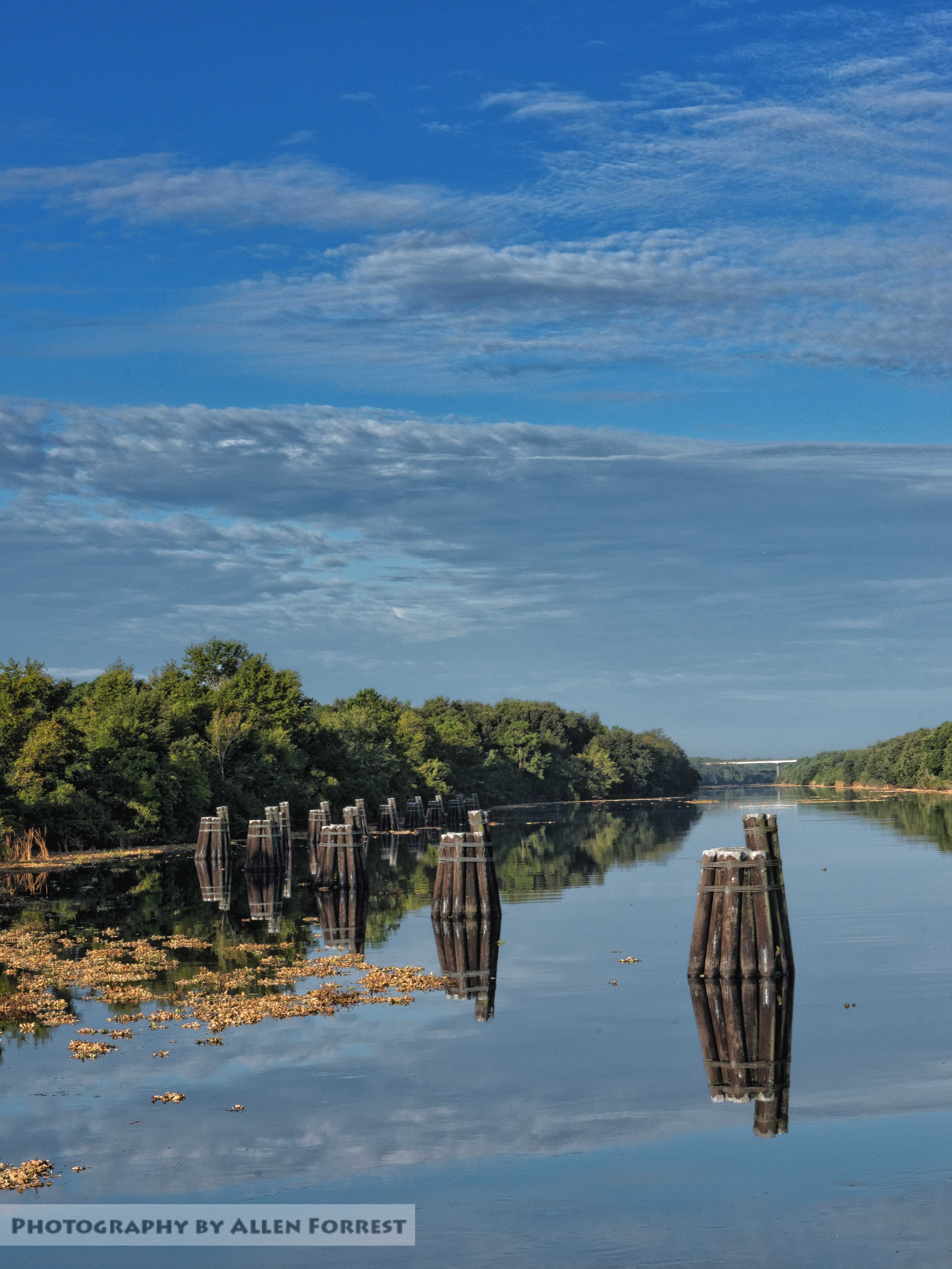
Cross Florida Barge Canal in Putnam County

St. Johns River and Memorial Bridge
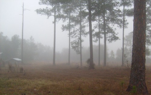
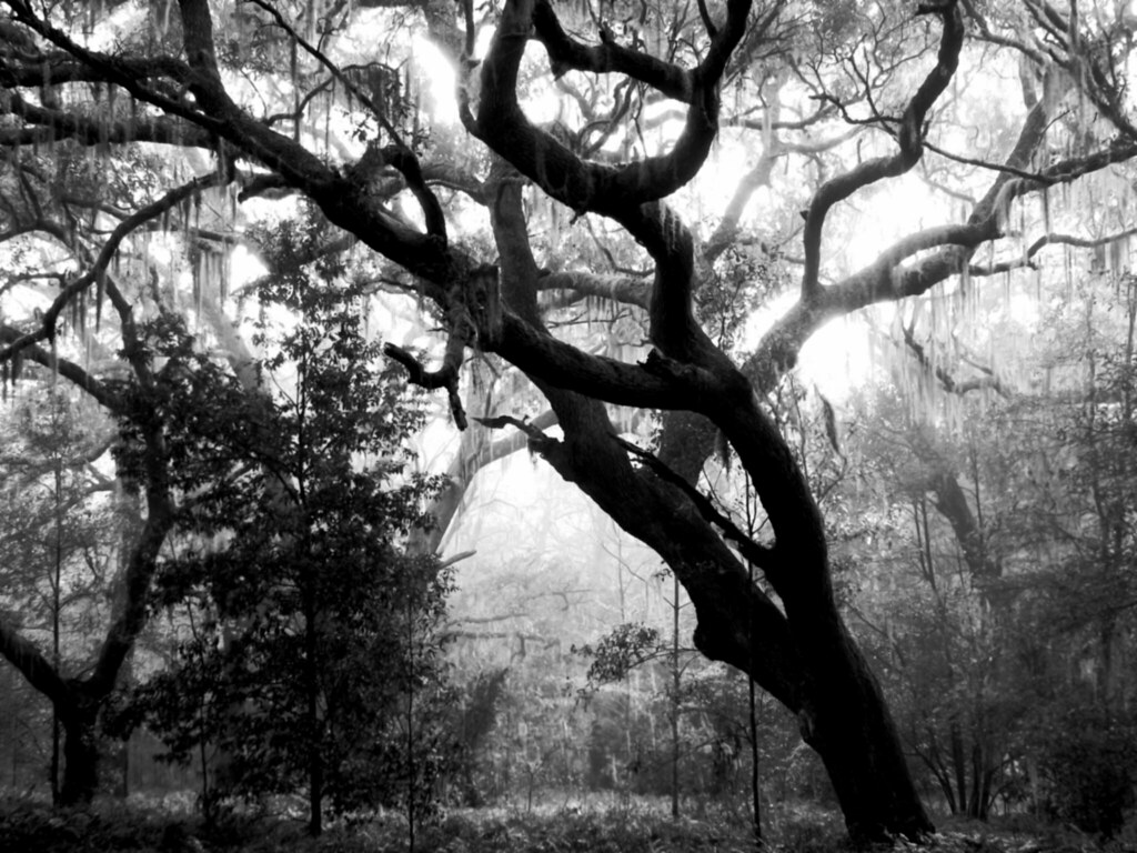
The Fog Comes In...
Marjorie Harris Carr Cross Florida Greenway
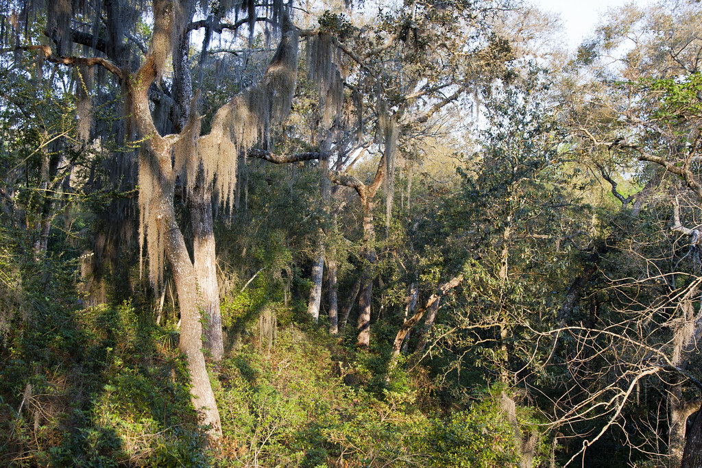
Whispering Oaks

Ravine Gardens State Park

Ravine Gardens State Park 13 Dec 2014 17

Palatka Riverfront
Ravine State Park 3-20-2011
Ravine Gardens State Park

Ravine Gardens State Park 13 Dec 2014 46
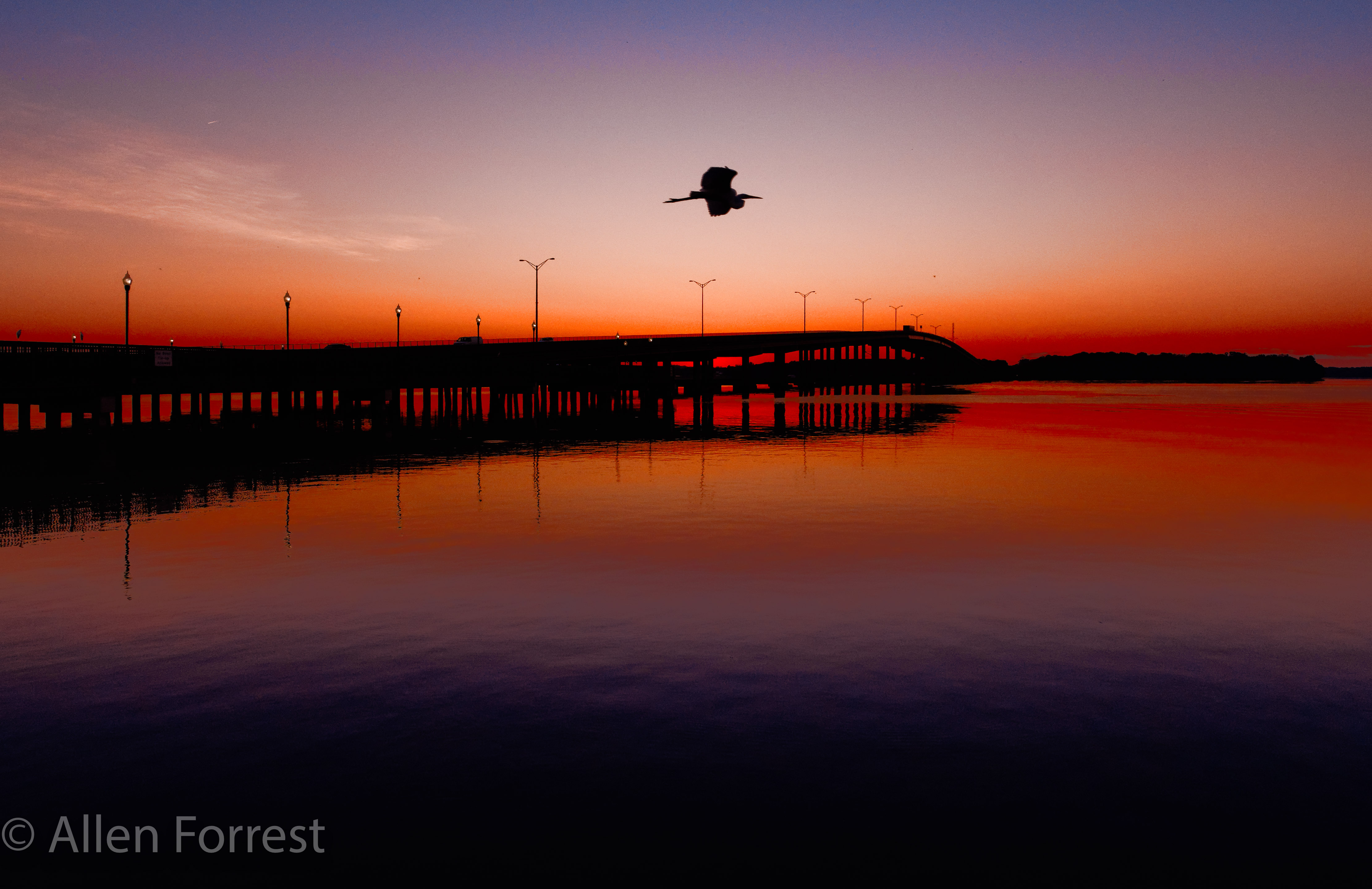
St. Johns River Sunrise
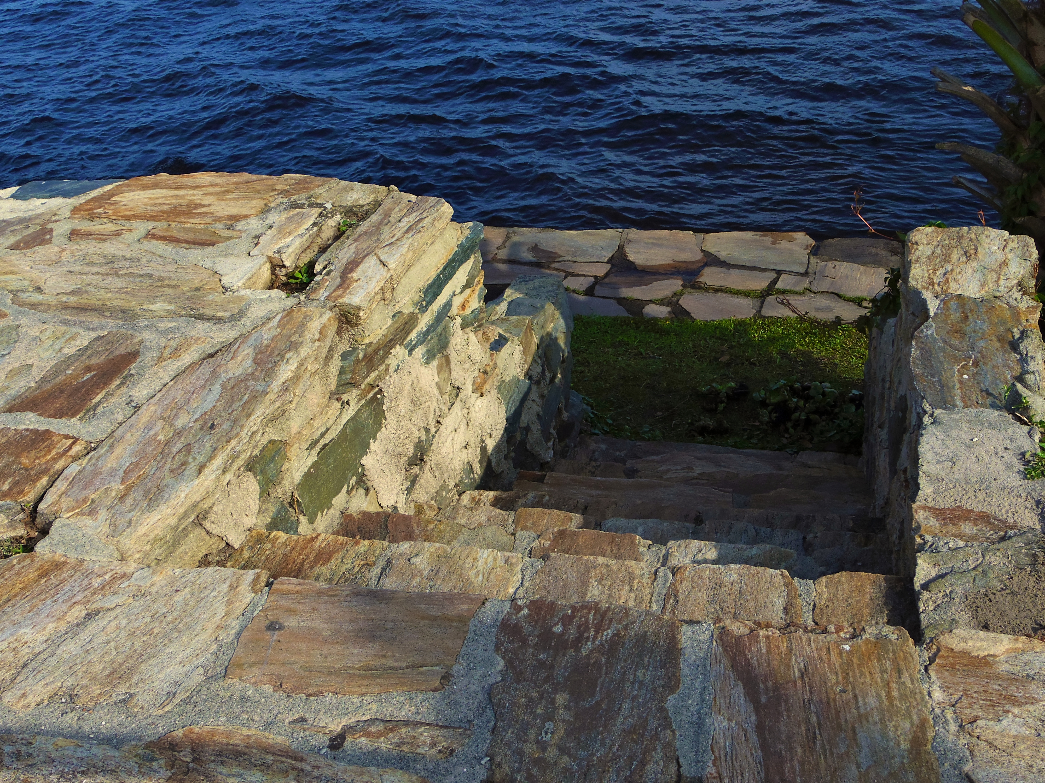
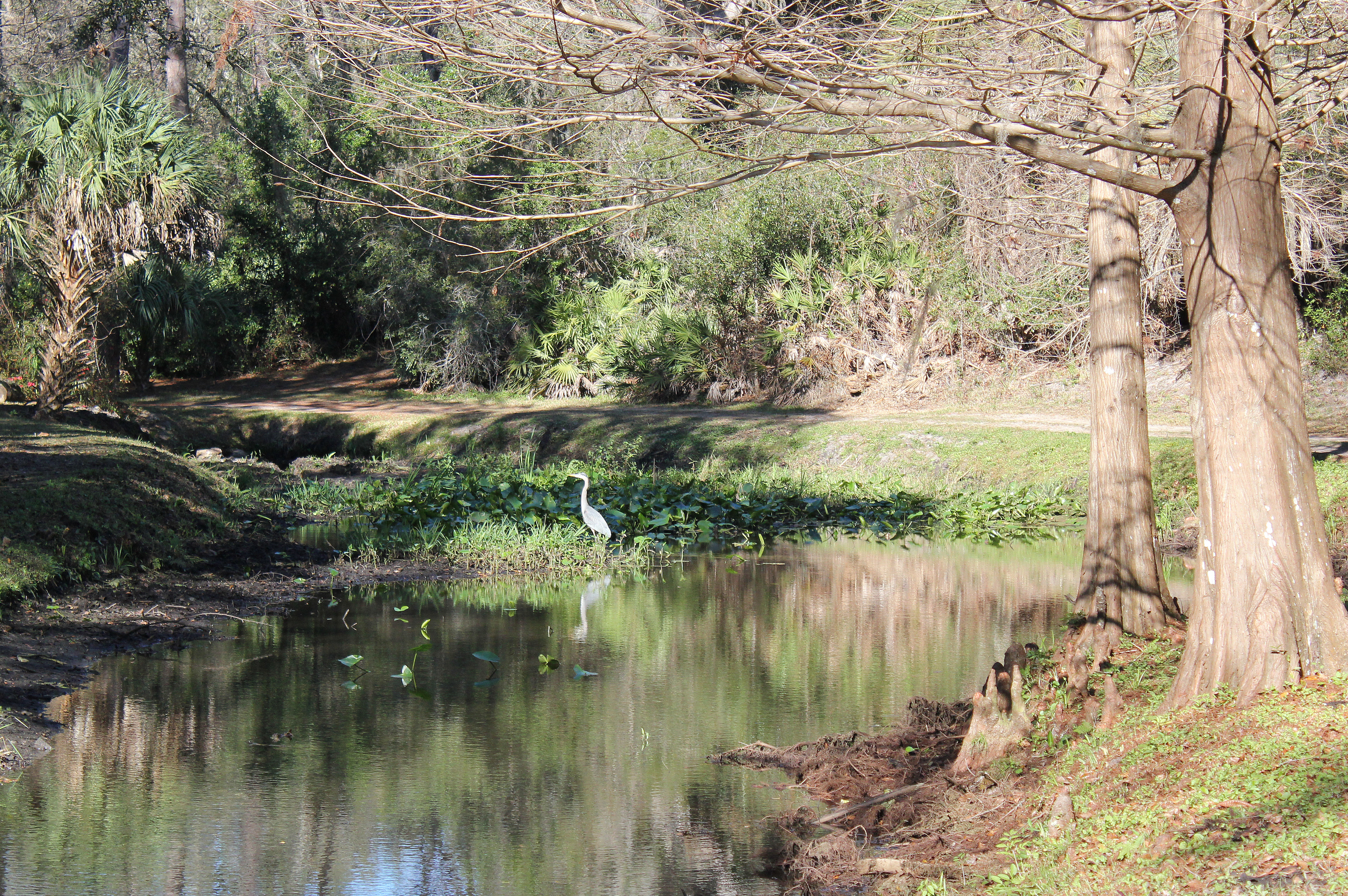
Stairs to the river

Sunrise on the The St. John's River in Palatka
Topographic Map of Rabbit Track Rd, Satsuma, FL, USA
Find elevation by address:

Places near Rabbit Track Rd, Satsuma, FL, USA:
100 Hillcrest Rd
1026 Us-17
307 Downhill Trail
104 Latty Ct
Satsuma
105 Sailboat Ln
215 Butler Dr
136 Boca Raton
180 Waterway Ave
180 Waterway Ave
157 Waterway Ave
140 Edgewater Rd
Waterway Avenue
105 Osceola Pl
125 Edgewater Rd
Edgewater Road
113 Edgewater Rd
107 Kerry
Finnigan Rd, Satsuma, FL, USA
113 Marina Rd
Recent Searches:
- Elevation of Corso Fratelli Cairoli, 35, Macerata MC, Italy
- Elevation of Tallevast Rd, Sarasota, FL, USA
- Elevation of 4th St E, Sonoma, CA, USA
- Elevation of Black Hollow Rd, Pennsdale, PA, USA
- Elevation of Oakland Ave, Williamsport, PA, USA
- Elevation of Pedrógão Grande, Portugal
- Elevation of Klee Dr, Martinsburg, WV, USA
- Elevation of Via Roma, Pieranica CR, Italy
- Elevation of Tavkvetili Mountain, Georgia
- Elevation of Hartfords Bluff Cir, Mt Pleasant, SC, USA