Elevation of R. São João Batista, -, Nova Laranjeiras - PR, -, Brazil
Location: Brazil > State Of Paraná > Nova Laranjeiras >
Longitude: -52.539929
Latitude: -25.308343
Elevation: 734m / 2408feet
Barometric Pressure: 93KPa
Elevation Map:
Satellite Map:
Related Photos:
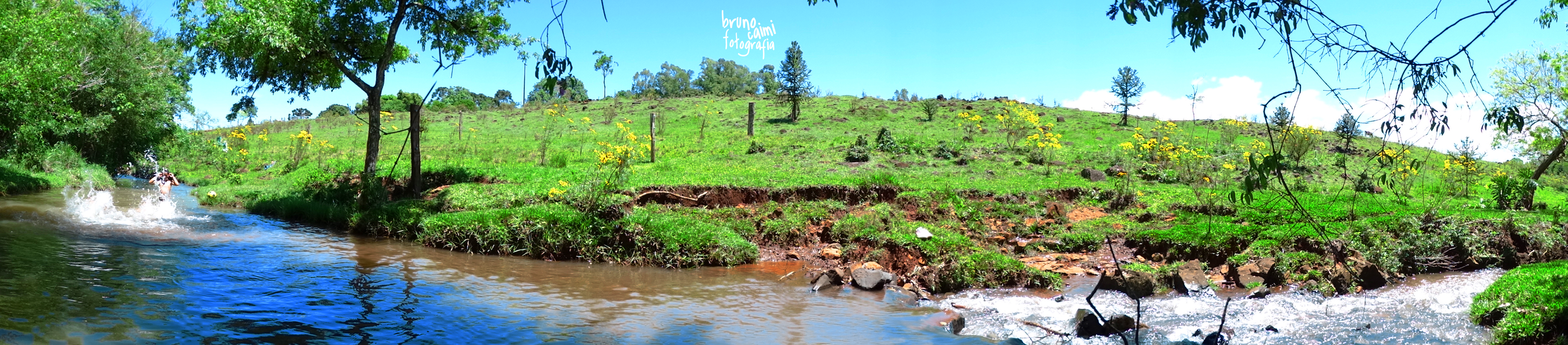
Pan River
IMG_0327 Ed
IMG_0325 Ed
IMG_0329 Ed
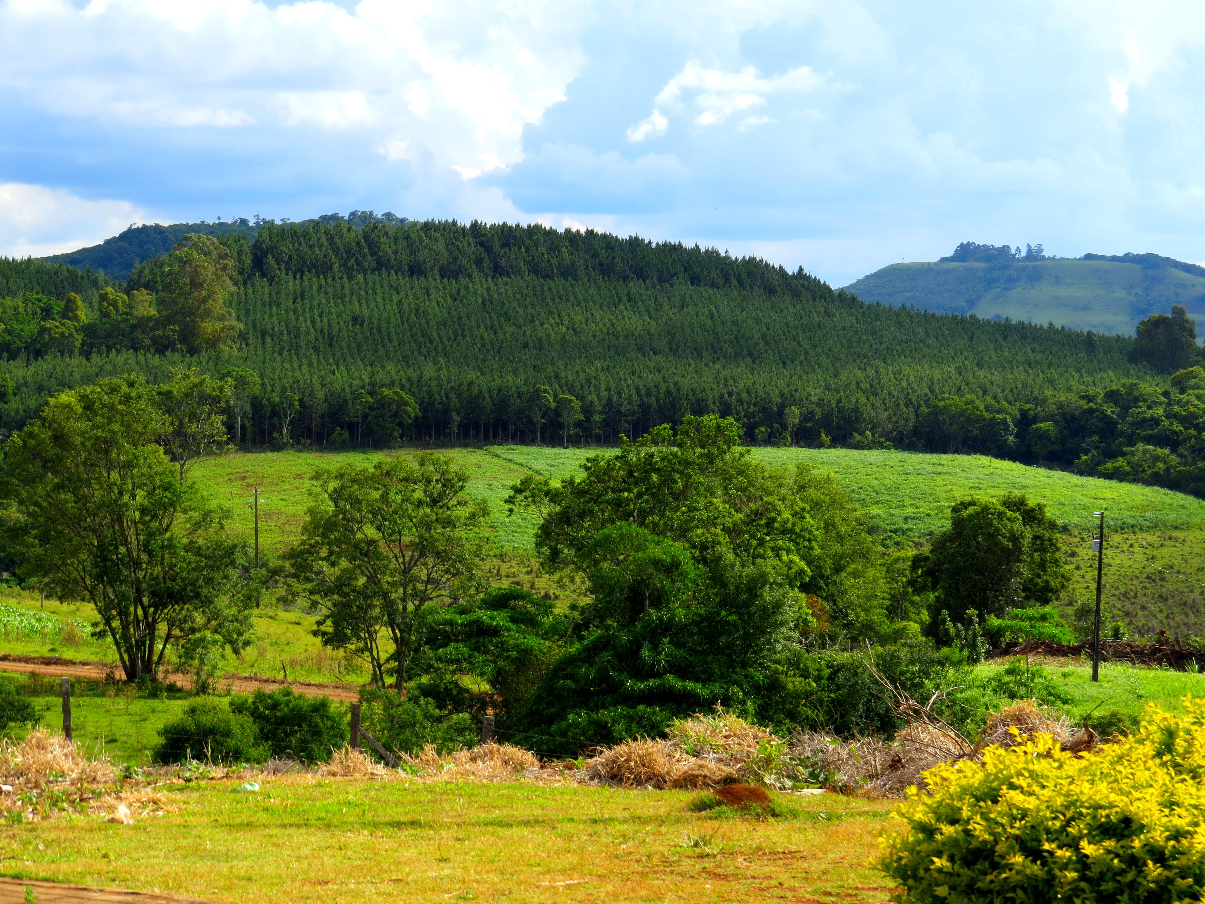
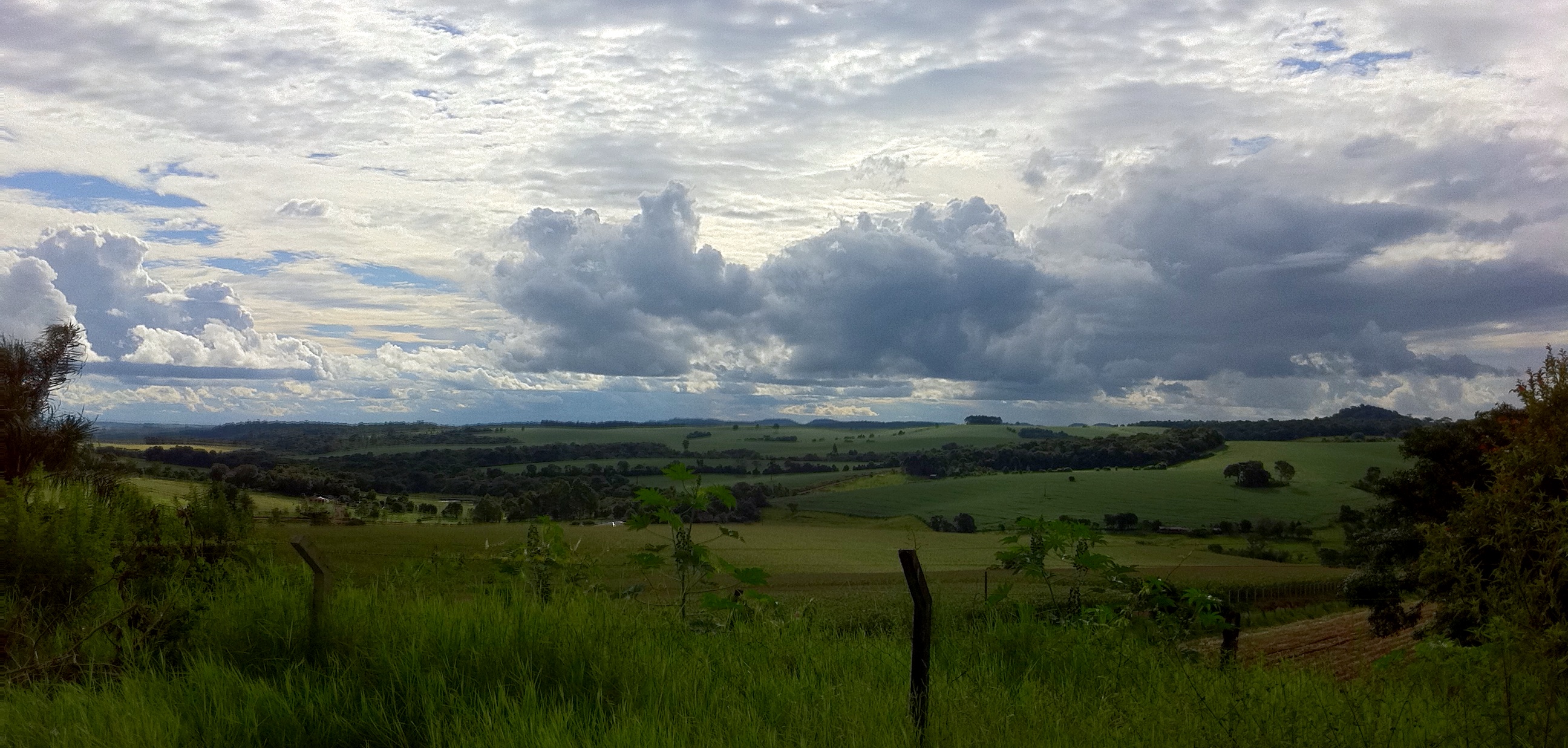
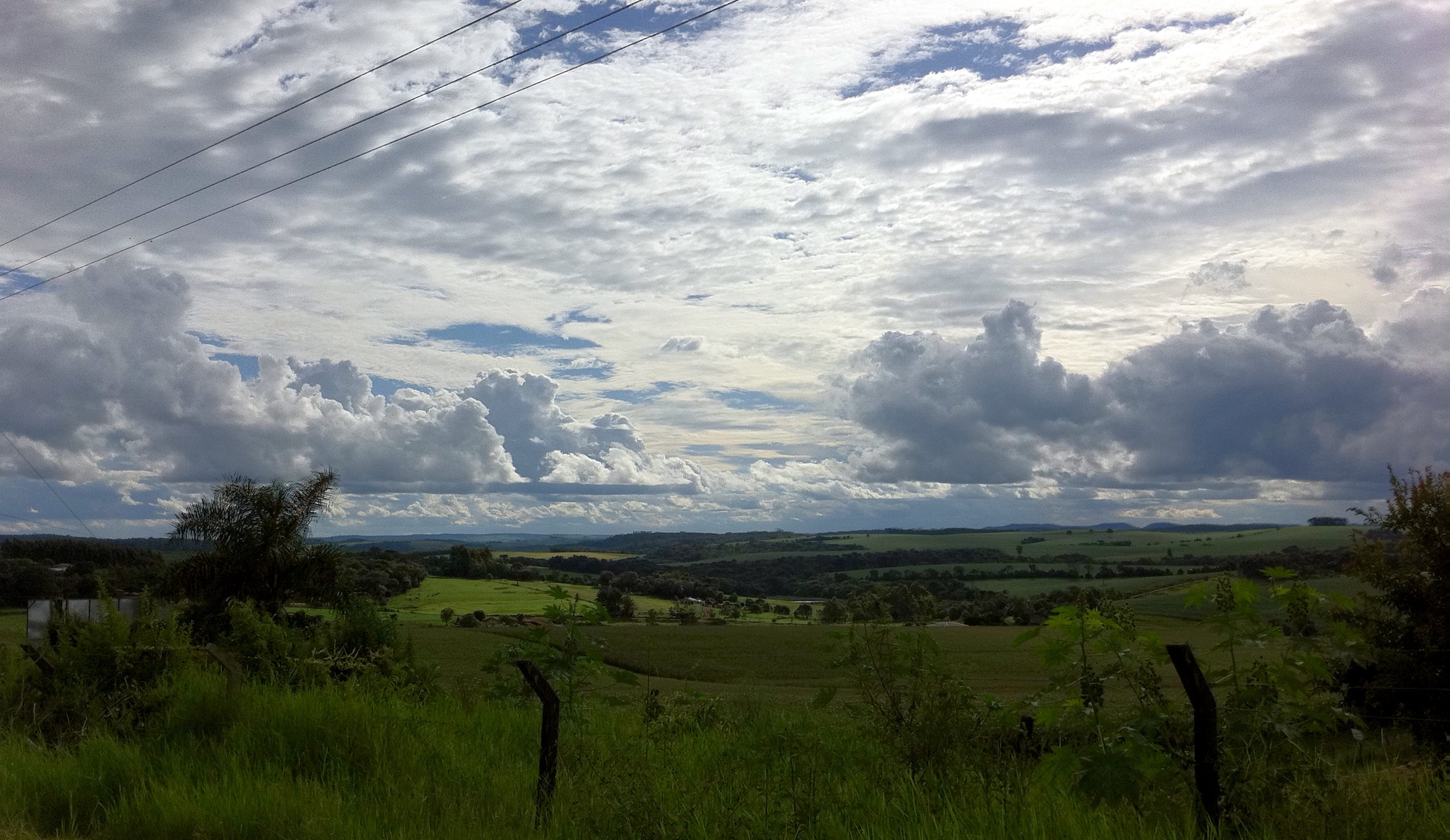
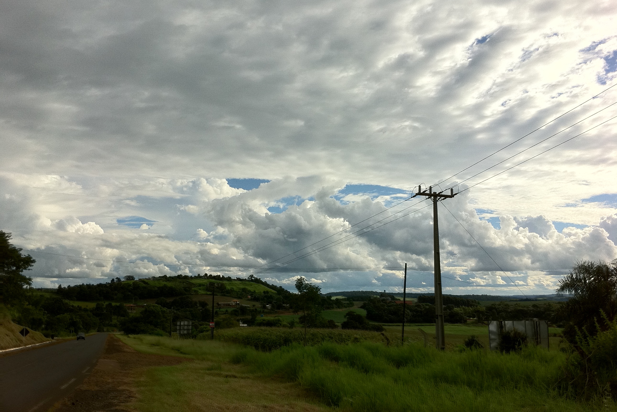
Campos e montanhas
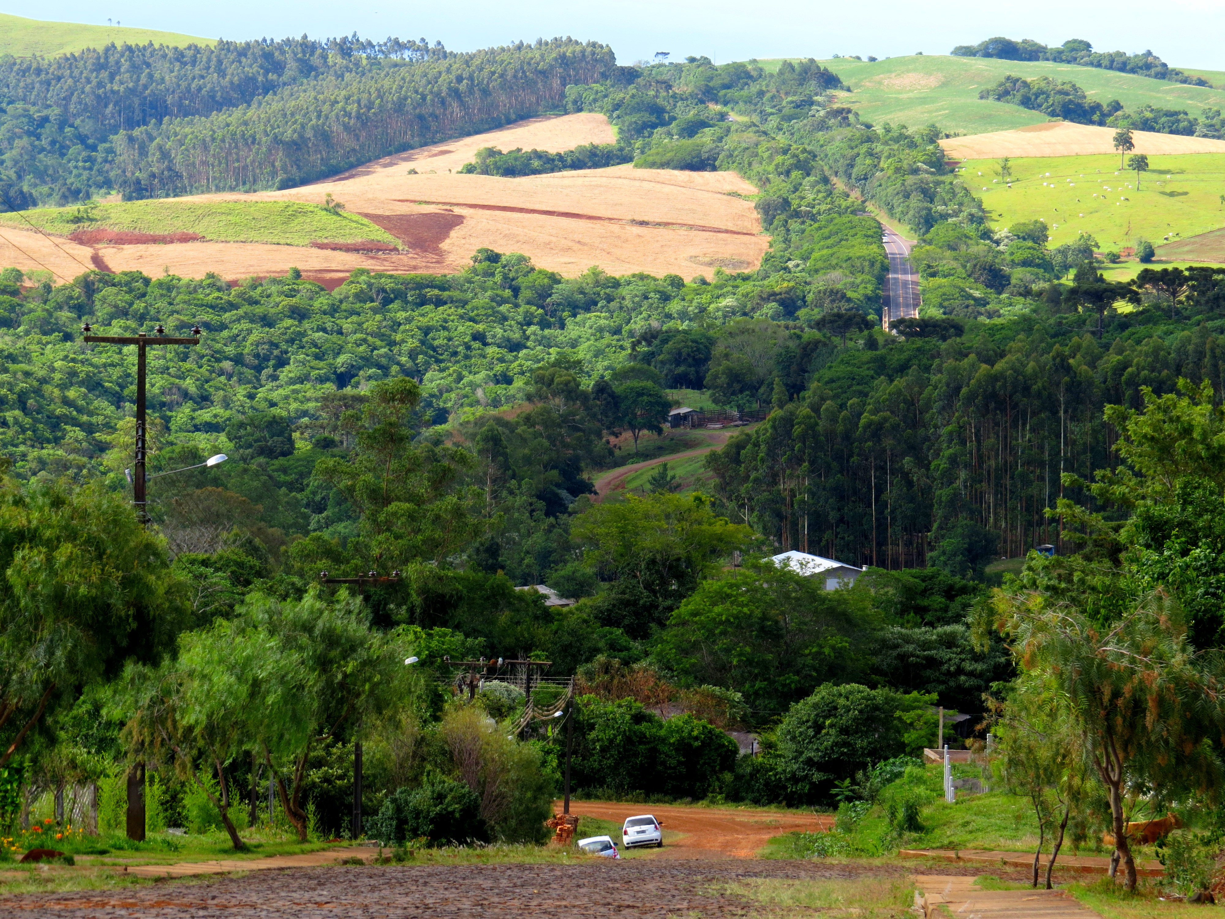
Paisagem rural

Corujas Buraqueiras

Happy!

Sítio

O bosque.

A grimpa.

A porteira.

A moça.

Menina da porteira.

Rural.

Tico-tico

Curruíra
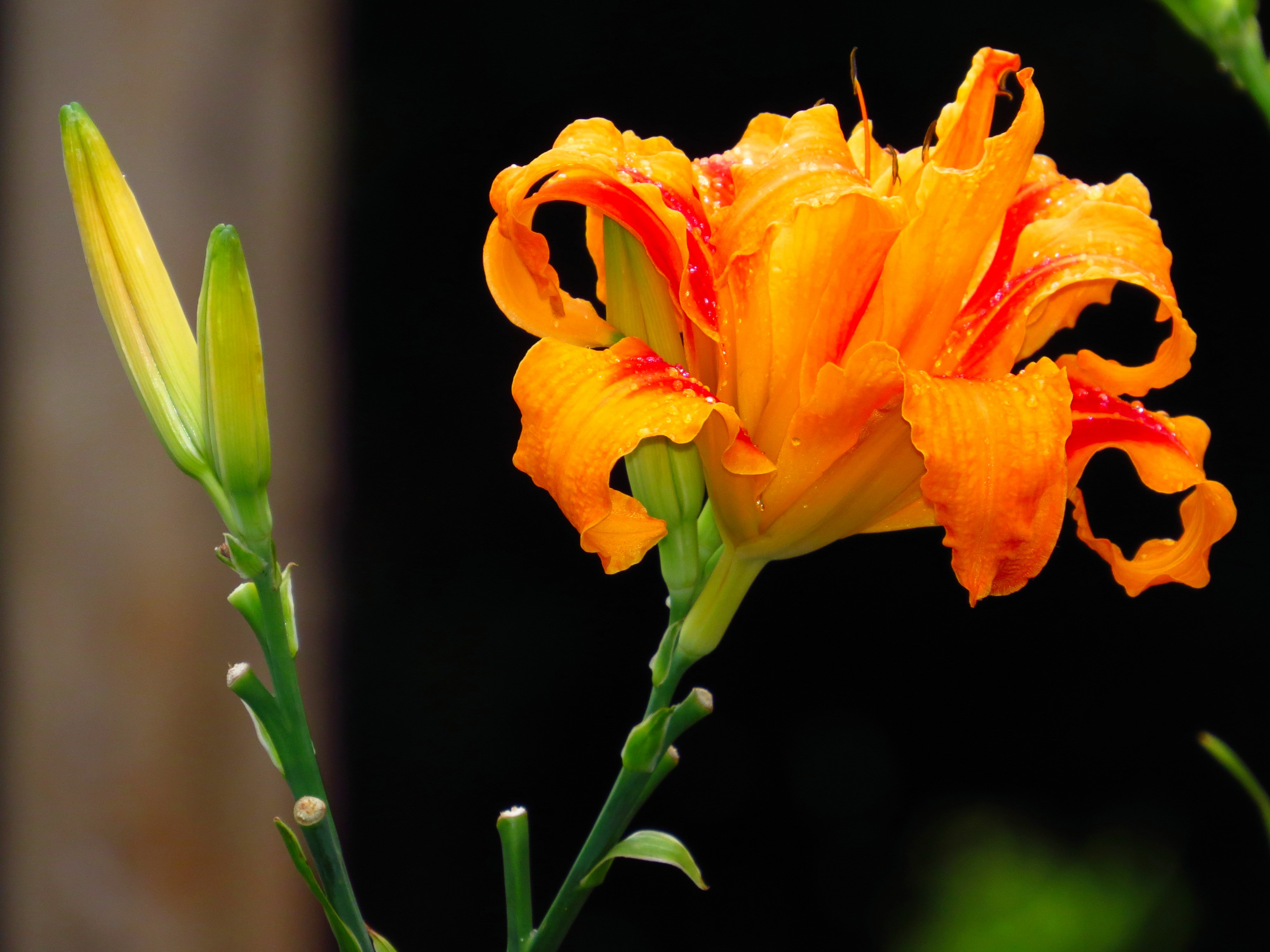
Lírio
Sítio
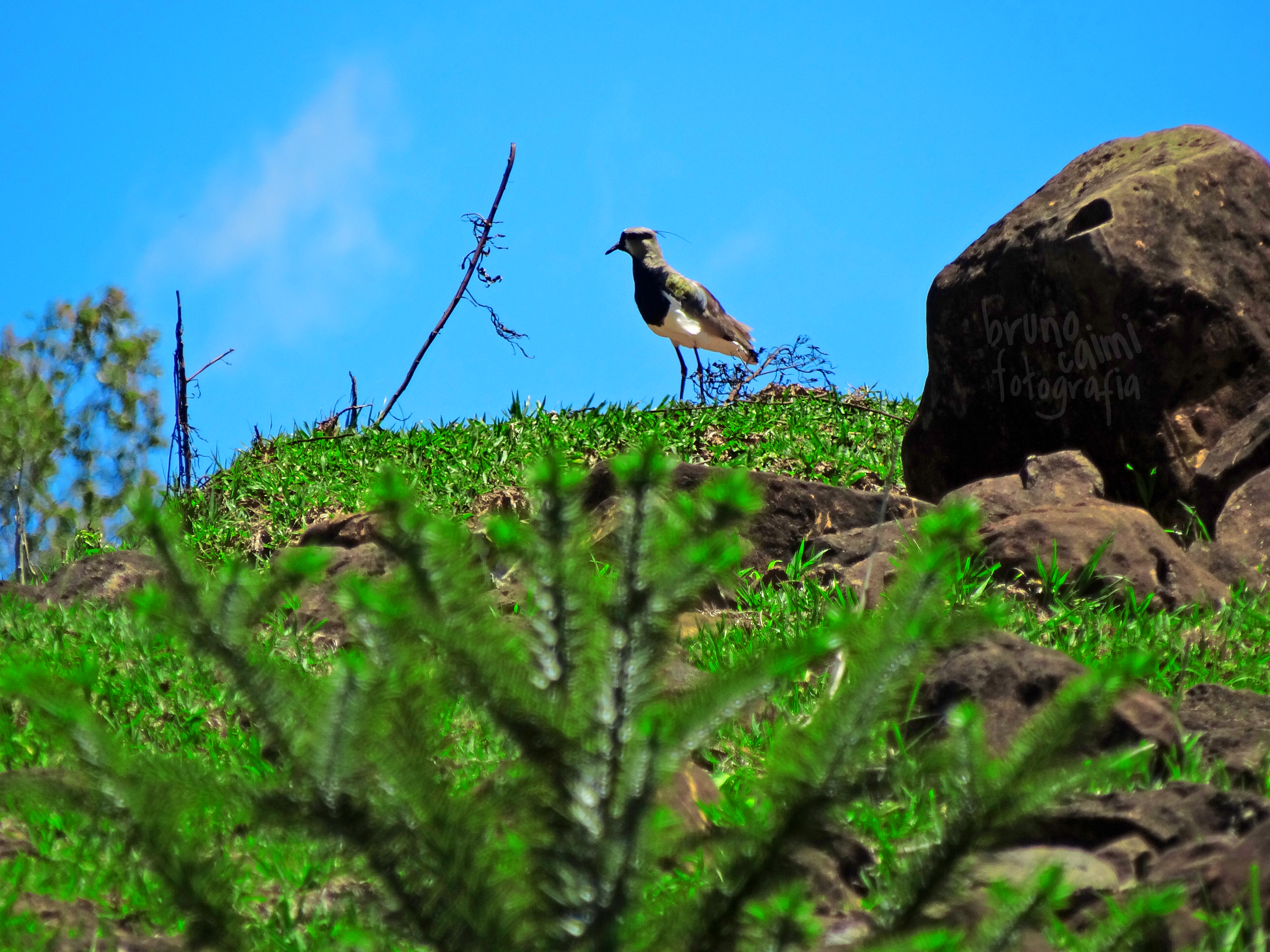
Vanellus Chilensis (Quero-Quero)

All Star
Topographic Map of R. São João Batista, -, Nova Laranjeiras - PR, -, Brazil
Find elevation by address:

Places near R. São João Batista, -, Nova Laranjeiras - PR, -, Brazil:
Recent Searches:
- Elevation of Corso Fratelli Cairoli, 35, Macerata MC, Italy
- Elevation of Tallevast Rd, Sarasota, FL, USA
- Elevation of 4th St E, Sonoma, CA, USA
- Elevation of Black Hollow Rd, Pennsdale, PA, USA
- Elevation of Oakland Ave, Williamsport, PA, USA
- Elevation of Pedrógão Grande, Portugal
- Elevation of Klee Dr, Martinsburg, WV, USA
- Elevation of Via Roma, Pieranica CR, Italy
- Elevation of Tavkvetili Mountain, Georgia
- Elevation of Hartfords Bluff Cir, Mt Pleasant, SC, USA