Elevation map of Río Chico Department, Santa Cruz Province, Argentina
Location: Argentina > Santa Cruz Province >
Longitude: -71.143149
Latitude: -48.125664
Elevation: 612m / 2008feet
Barometric Pressure: 94KPa
Elevation Map:
Satellite Map:
Related Photos:
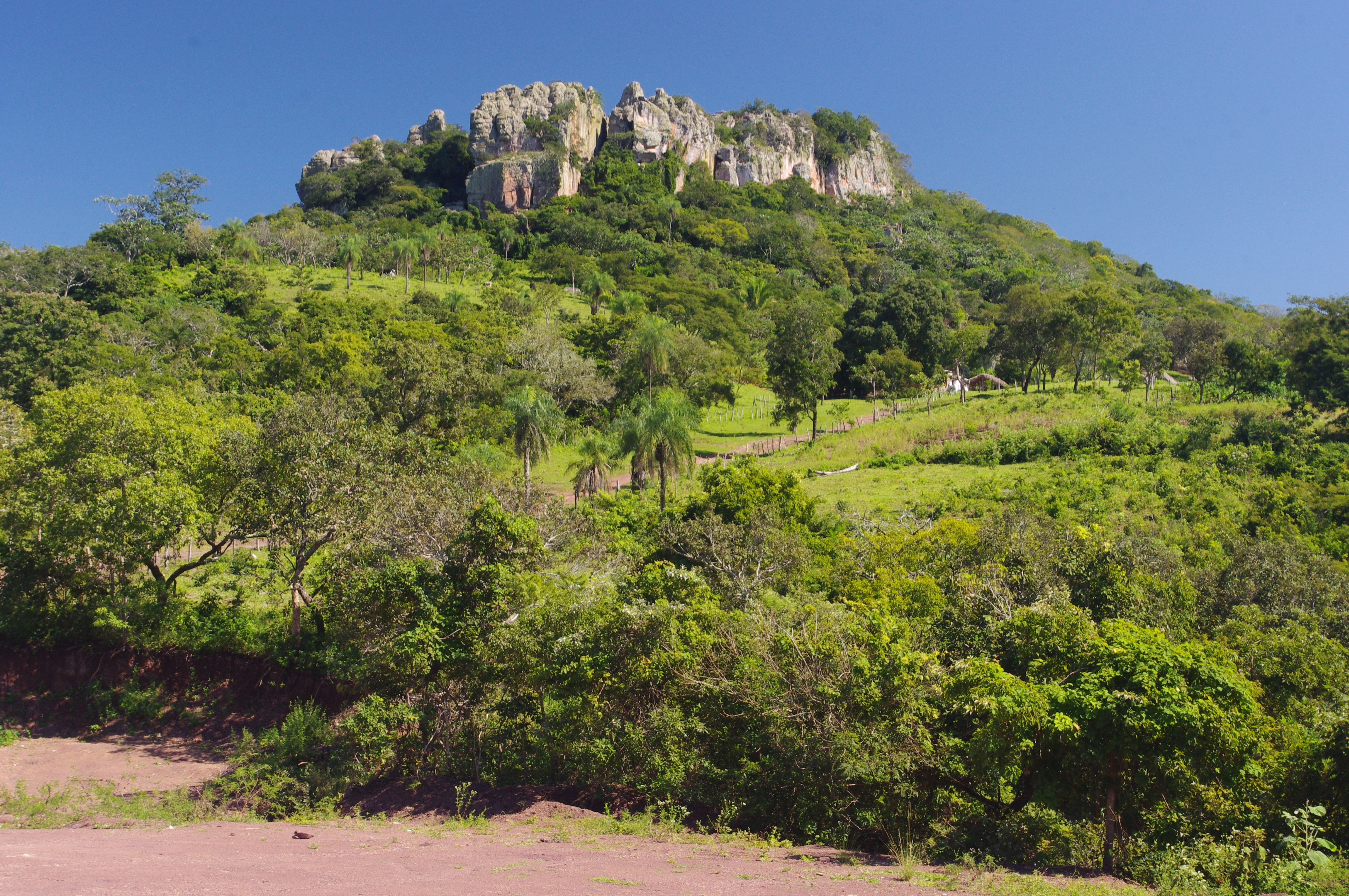
Santiago de Chiquitos, Kaa Iya National Park, Bolivia

Image from page 696 of "Official catalogue of exhibitors. Universal exposition. St. Louis, U.S.A. 1904. : Division of exhibits. Department A. Education [to H. Agriculture; J. Horticulture to P. Physical Culture; R. Livestock.]" (1904)
Topographic Map of Río Chico Department, Santa Cruz Province, Argentina
Find elevation by address:

Places in Río Chico Department, Santa Cruz Province, Argentina:
Recent Searches:
- Elevation of Corso Fratelli Cairoli, 35, Macerata MC, Italy
- Elevation of Tallevast Rd, Sarasota, FL, USA
- Elevation of 4th St E, Sonoma, CA, USA
- Elevation of Black Hollow Rd, Pennsdale, PA, USA
- Elevation of Oakland Ave, Williamsport, PA, USA
- Elevation of Pedrógão Grande, Portugal
- Elevation of Klee Dr, Martinsburg, WV, USA
- Elevation of Via Roma, Pieranica CR, Italy
- Elevation of Tavkvetili Mountain, Georgia
- Elevation of Hartfords Bluff Cir, Mt Pleasant, SC, USA