Elevation of Qurnat as Sawda', Lebanon
Location: Lebanon > North > Bcharre > Bcharre >
Longitude: 36.116667
Latitude: 34.3
Elevation: 2141m / 7024feet
Barometric Pressure: 78KPa
Elevation Map:
Satellite Map:
Related Photos:
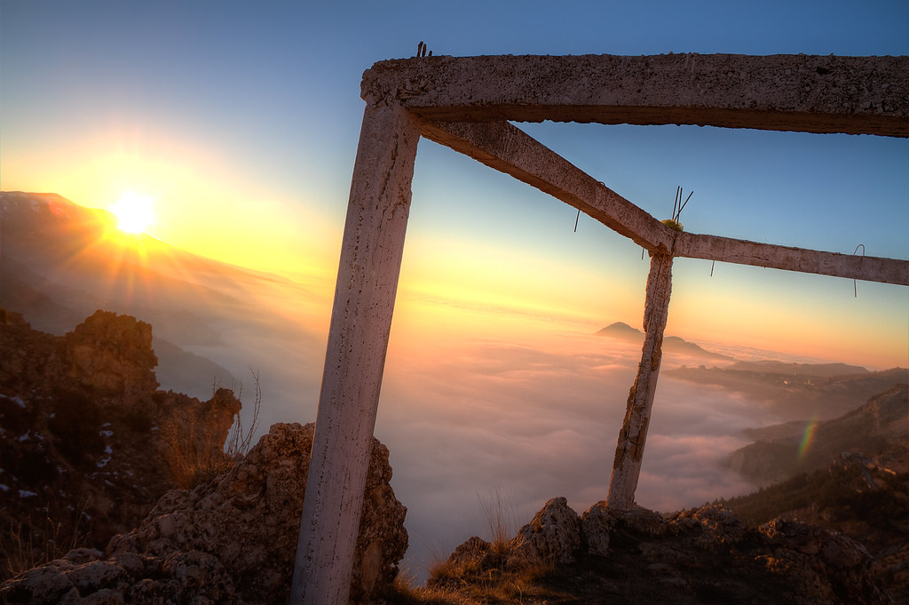
A Beautiful War

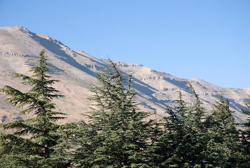
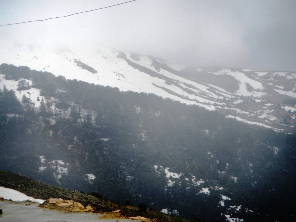
Makmel Mountain - Lebanon
View of the Cedar Valley, Alpine Hotel
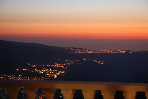
View of the Cedar Valley, Alpine Hotel

Becharre & wadi Anoubine - Lebanon ( View from Dahr el Adib)
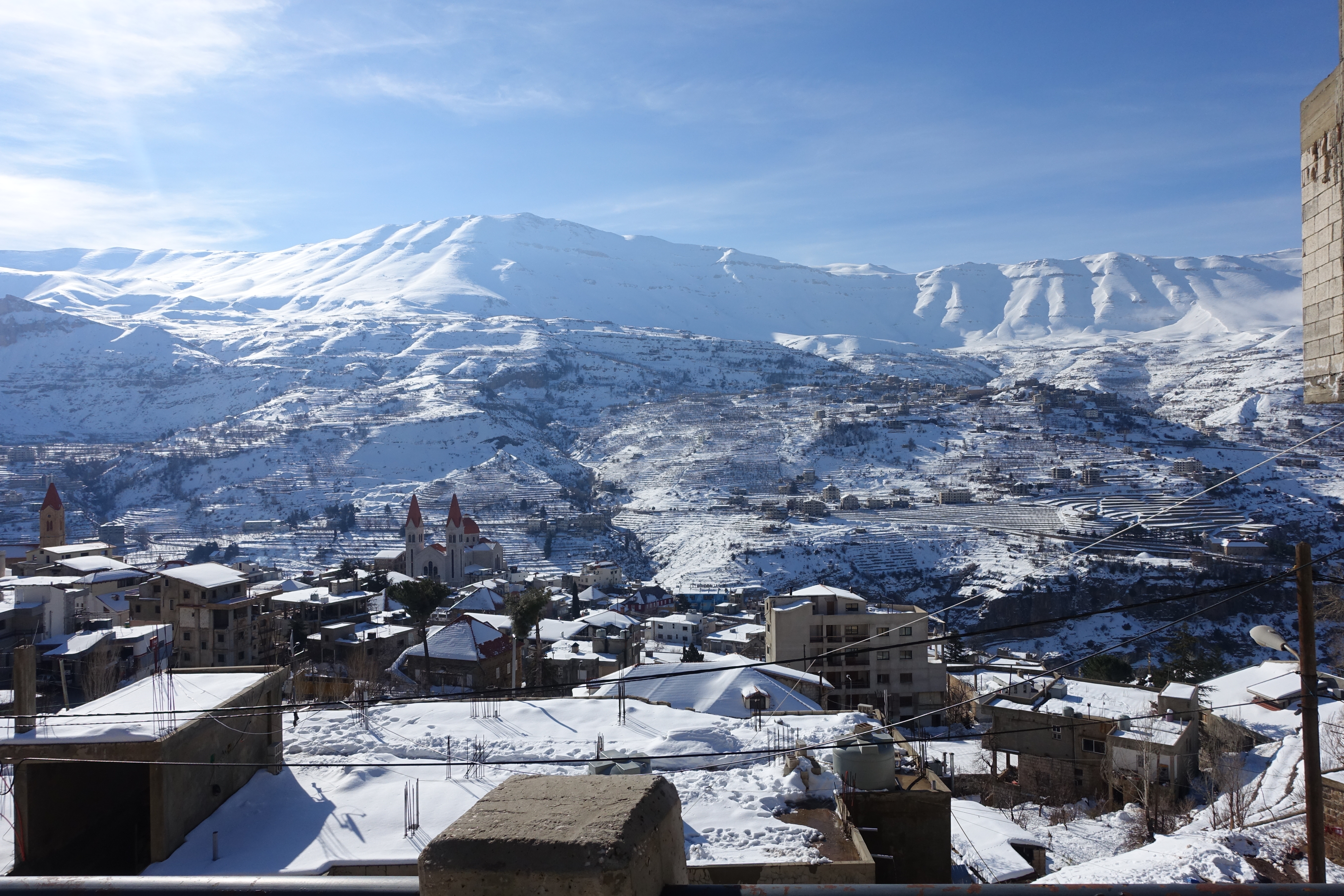
View over Bcharre
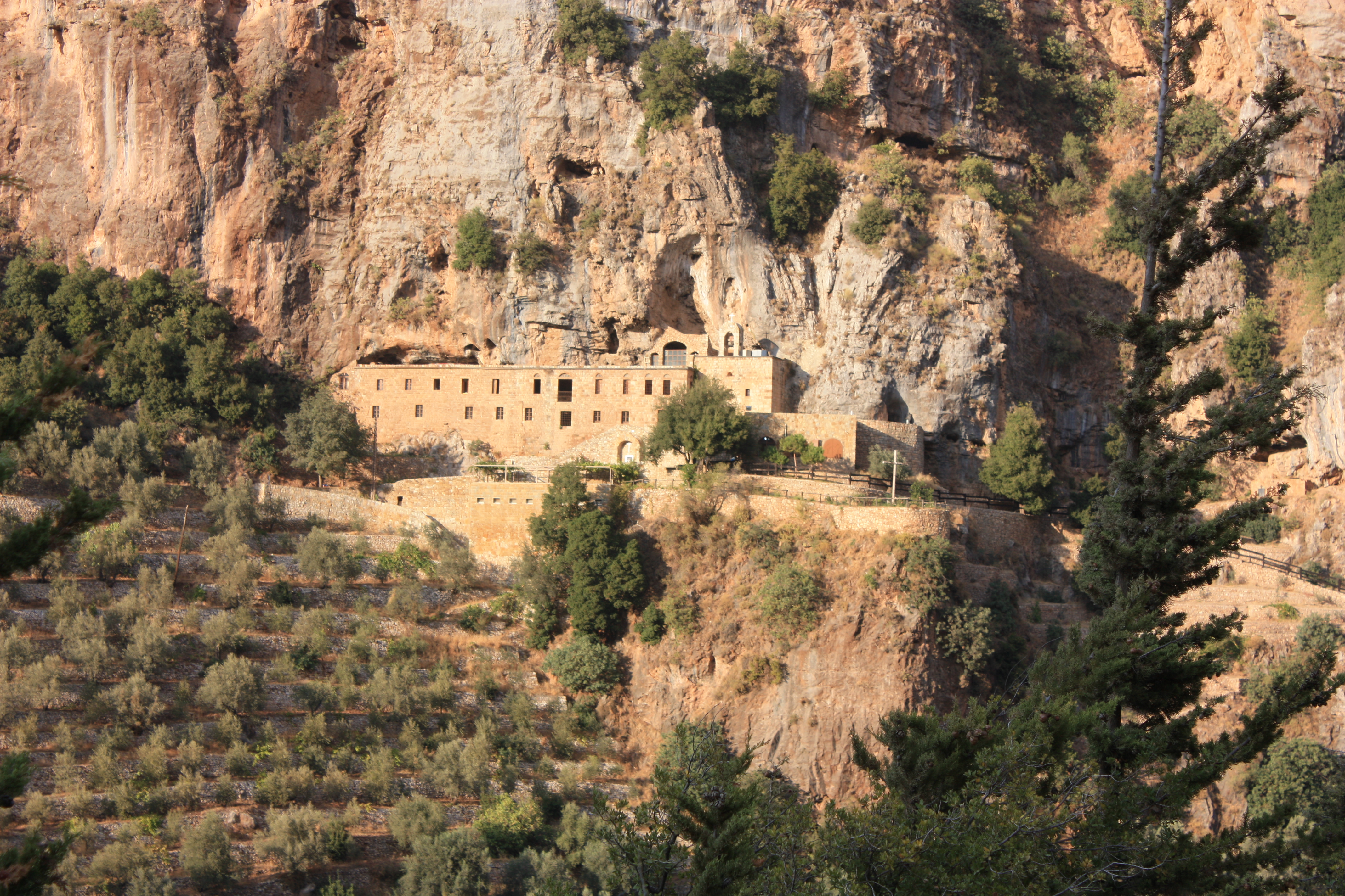
Qadisha, view on Deir Mar Elisha
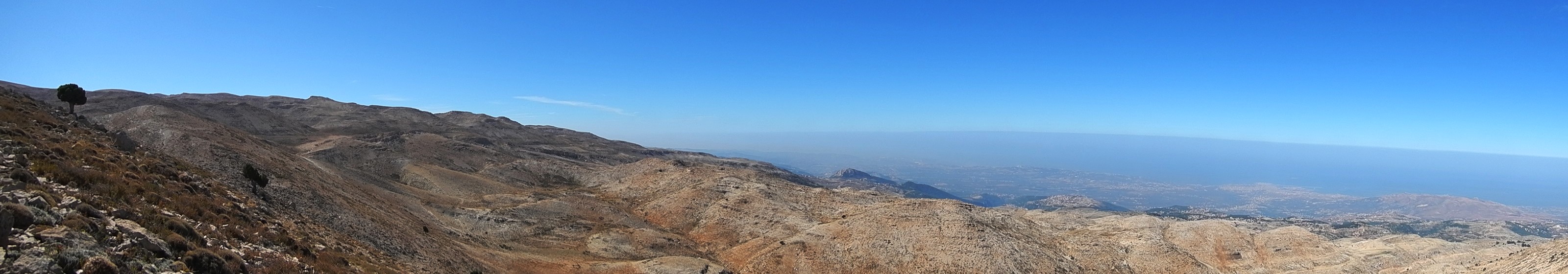
Horsh Ehden Natural Reserve
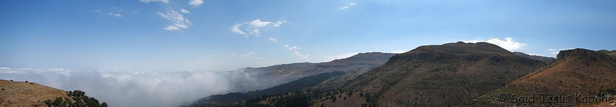
Panoramic views of horsh Ehden Natural Reserve
.
Topographic Map of Qurnat as Sawda', Lebanon
Find elevation by address:

Places near Qurnat as Sawda', Lebanon:
Qurnat As Sawda'
Bcharre
Cedars Of God Bsharri
Ariz
La Grande Ourse
Bcharre
Hazmieh
Bqaa Safrin
North
Horsh Ehden Nature Reserve
Ehden
Ehden
Kadisha Valley
Ehden Country Club
Deir El Ahmar
Nahr Qadicha
Arz Tannourine
Tourza
Akkar Governorate
Beit Mellat
Recent Searches:
- Elevation of Corso Fratelli Cairoli, 35, Macerata MC, Italy
- Elevation of Tallevast Rd, Sarasota, FL, USA
- Elevation of 4th St E, Sonoma, CA, USA
- Elevation of Black Hollow Rd, Pennsdale, PA, USA
- Elevation of Oakland Ave, Williamsport, PA, USA
- Elevation of Pedrógão Grande, Portugal
- Elevation of Klee Dr, Martinsburg, WV, USA
- Elevation of Via Roma, Pieranica CR, Italy
- Elevation of Tavkvetili Mountain, Georgia
- Elevation of Hartfords Bluff Cir, Mt Pleasant, SC, USA