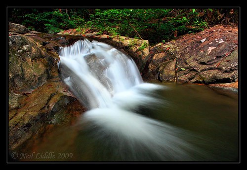
Elevation of Quezon, Palawan, Philippines
Location: Philippines > Mimaropa > Palawan >
Longitude: 118.252662
Latitude: 9.4184634
Elevation: 234m / 768feet
Barometric Pressure: 99KPa
Related Photos:
Topographic Map of Quezon, Palawan, Philippines
Find elevation by address:

Places near Quezon, Palawan, Philippines:
Palawan
Estrella Falls
Mariwara Elementary School
Narra
Panacan Bridge
Baraki
Aborlan
Malatgao
Ramon Magsaysay
Napsan
Puerto Princesa City
Bagong Sikat (pob.)
Puerto Princesa Cock Breeding Multi-purpose Cooperative
Puerto Princesa North Road
Dive Puerto Princesa Dive Center
Eastville City Walk
Santa Monica
San Miguel
Barangay San Miguel
Sta Monica, Puerto Princesa City, Palawan
Recent Searches:
- Elevation of Corso Fratelli Cairoli, 35, Macerata MC, Italy
- Elevation of Tallevast Rd, Sarasota, FL, USA
- Elevation of 4th St E, Sonoma, CA, USA
- Elevation of Black Hollow Rd, Pennsdale, PA, USA
- Elevation of Oakland Ave, Williamsport, PA, USA
- Elevation of Pedrógão Grande, Portugal
- Elevation of Klee Dr, Martinsburg, WV, USA
- Elevation of Via Roma, Pieranica CR, Italy
- Elevation of Tavkvetili Mountain, Georgia
- Elevation of Hartfords Bluff Cir, Mt Pleasant, SC, USA

