Elevation of Quarter Horse Lane, Quarter Horse Ln, Jonathan Creek, NC, USA
Location: United States > North Carolina > Haywood County > Waynesville > Waynesville >
Longitude: -83.039851
Latitude: 35.5983515
Elevation: 961m / 3153feet
Barometric Pressure: 90KPa
Elevation Map:
Satellite Map:
Related Photos:
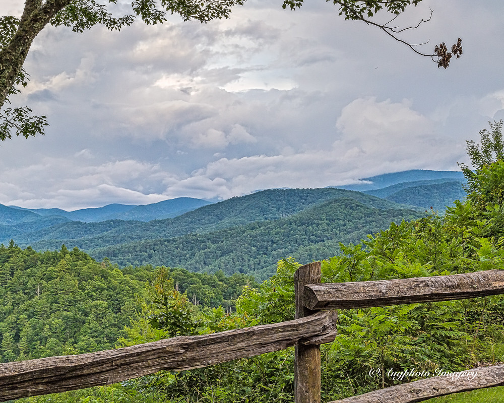
Cataloochee Valley View Over Fence

An EXTRAORDINARY View!
Cataloochee Elk-GSMNP

One Rose, Two Views 2
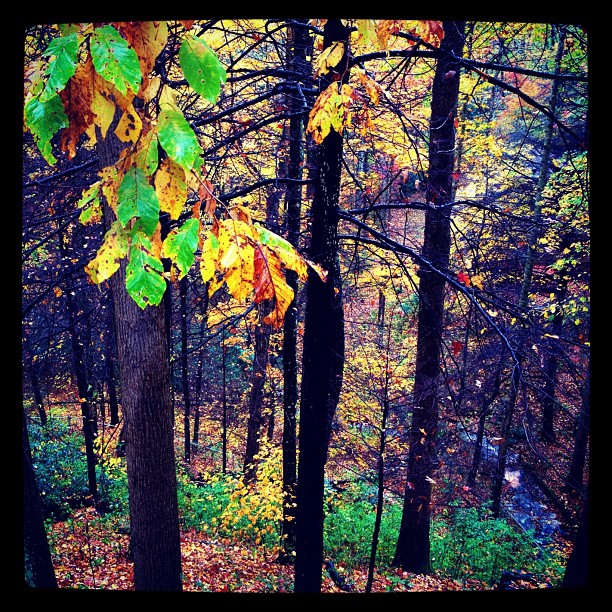
Fall View

One Rose, Two Views 1
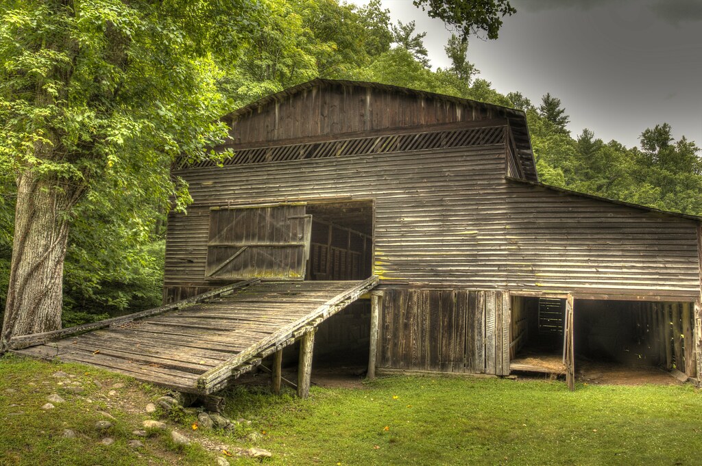
Palmer Barn Door
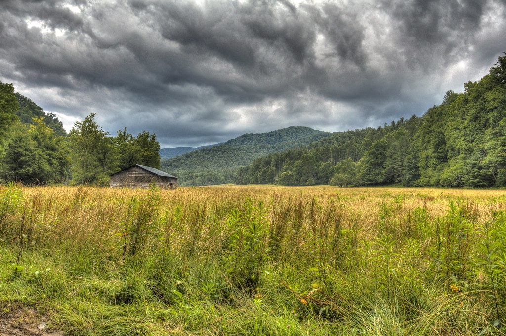
Cabin in the Field

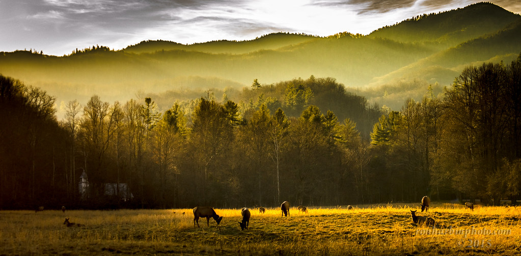
Elk Grazing in Little Cataloochee

Max Patch, Ecclesiastes 3:11
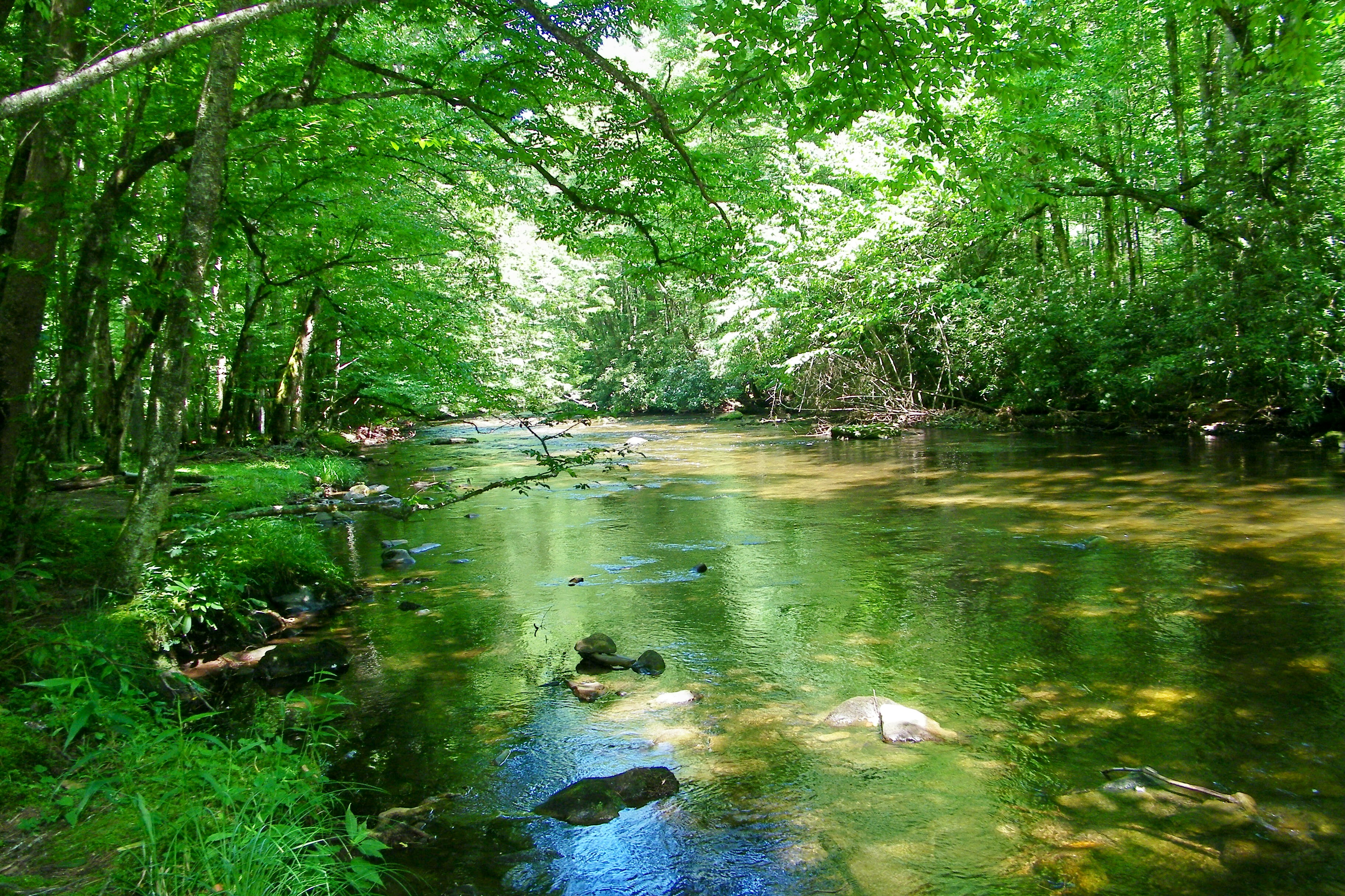
Cataloochee Creek
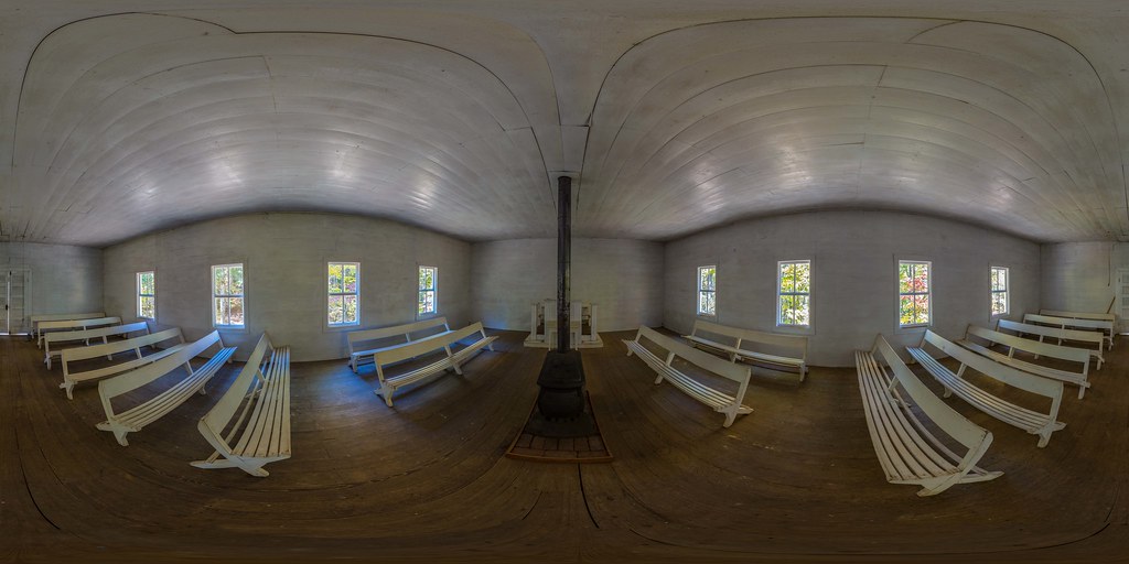
Little Cataloochee Baptist Church 1889 - open on PC for 360 view
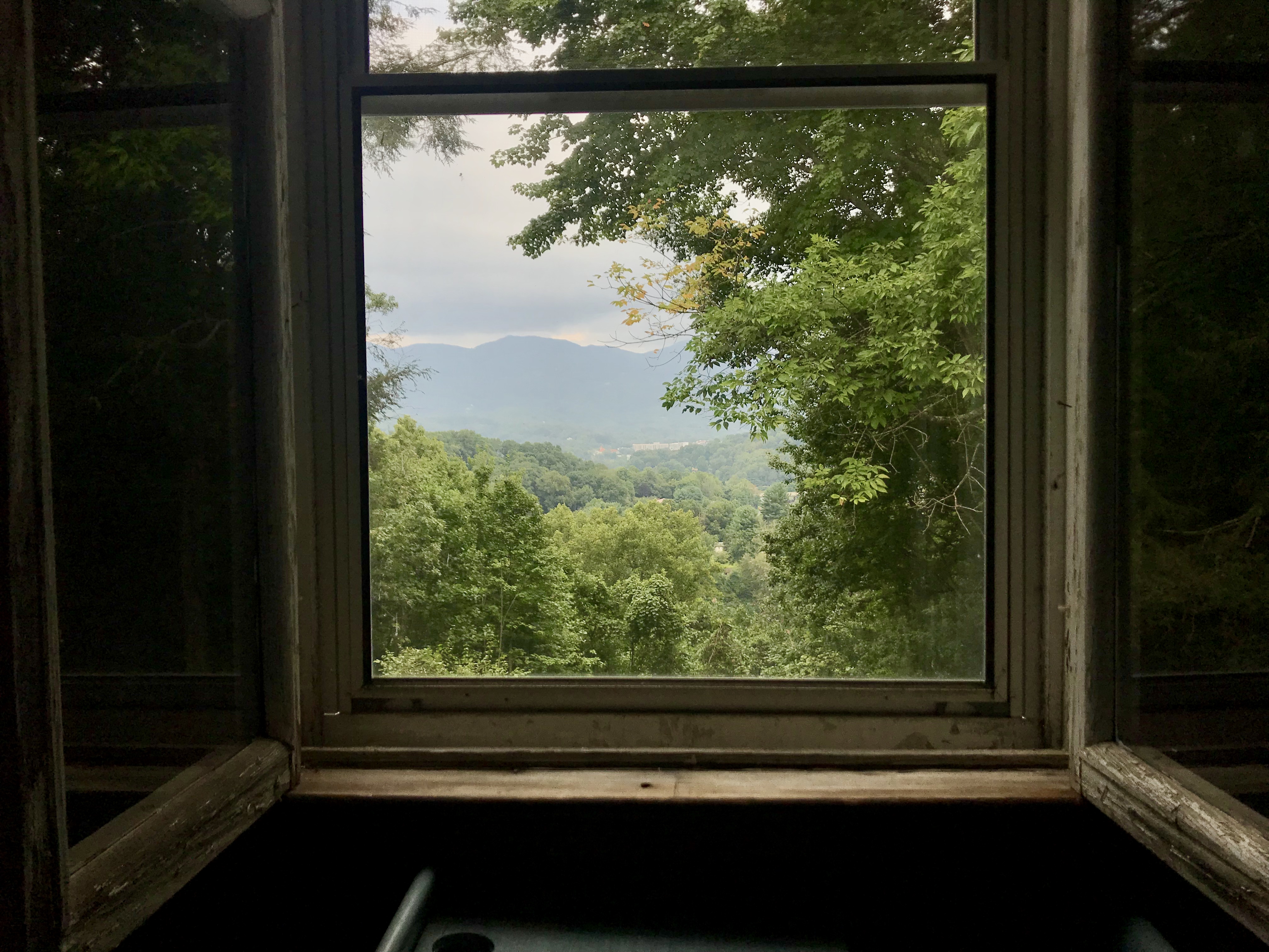
view from upstairs

Cataloochee Valley
TrackHead Studios - DO NOT TOUCH
Maggie Valley, NC

Max Patch, Romans 1:20
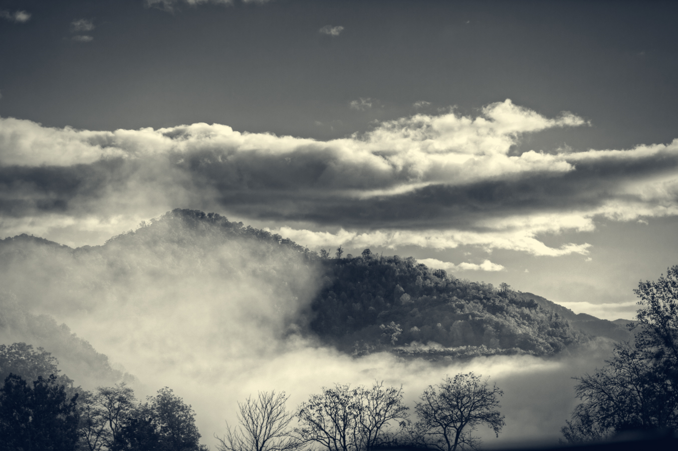
Bears In The Mist ?
Mountain View at Dusk
Lake Junaluska, NC

Max Patch, Isaiah 40:22
from here to there

tone gold

North Carolina - Blue Ridge Parkway
Sunlight in the Trees
Light in the Forest
Maggie Valley NC
Near Maggie Valley, NC
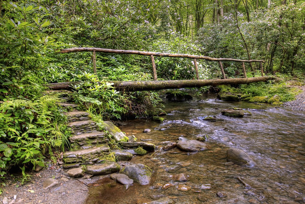
Bridge in the Woods

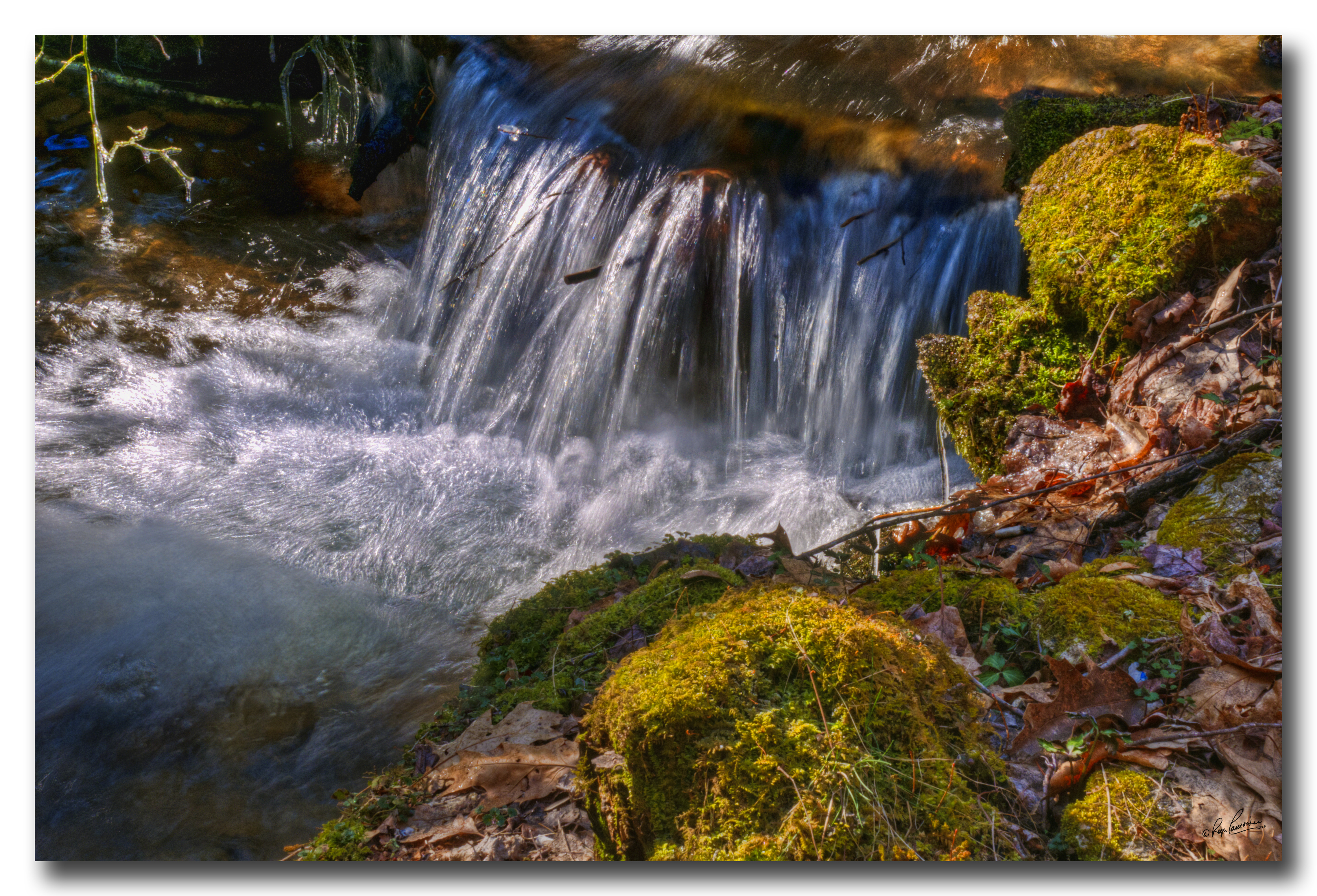
Icy Mountain Stream
Mountain Mornings
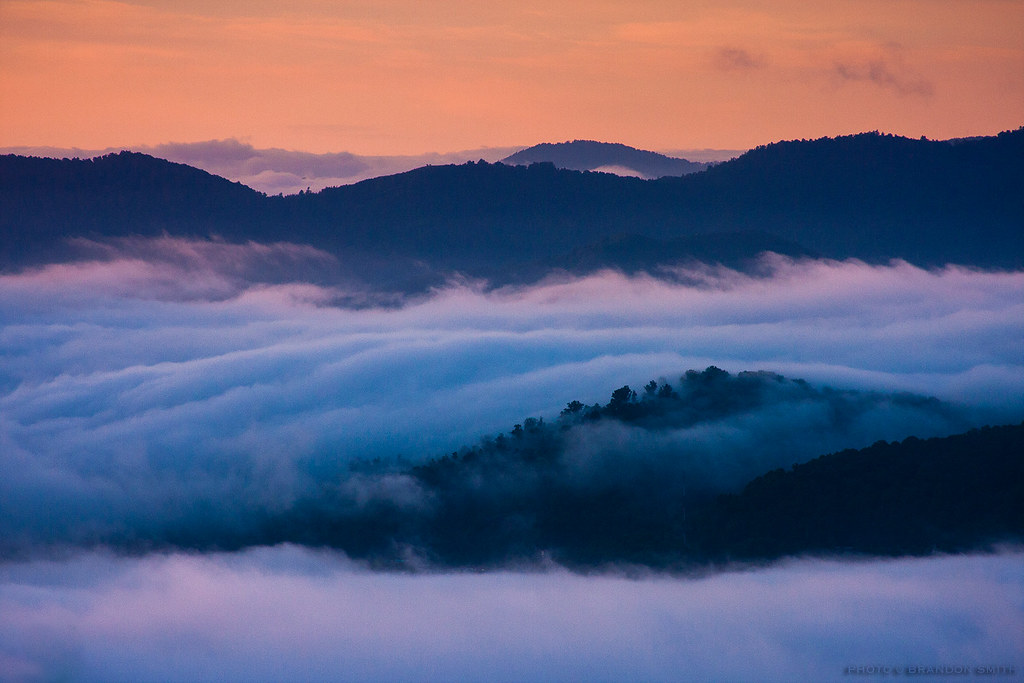
Clouds Below Mt Sterling, Great Smoky Mountains NP
Max Patch 03
Hemphill Bald: June 10, 2017
Into the Forest

Blue Ridge Mountains, Psalm 104:32

Appalachian Trail, Isaiah 52:7
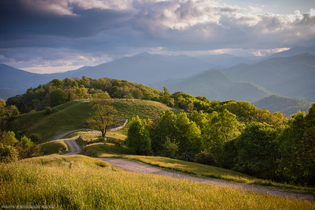
Golden Pasture
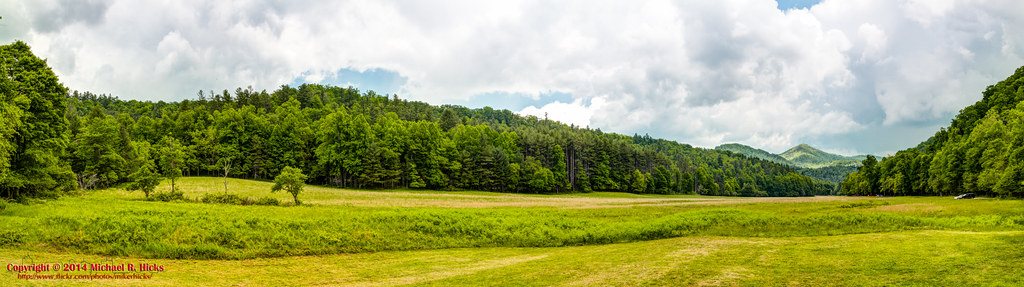
Cataloochee Field
Topographic Map of Quarter Horse Lane, Quarter Horse Ln, Jonathan Creek, NC, USA
Find elevation by address:

Places near Quarter Horse Lane, Quarter Horse Ln, Jonathan Creek, NC, USA:
28 Appaloosa Trail
Rugged Top Road
49 Hopalong Trce
267 Appaloosa Trail
616 Appaloosa Trail
695 Medford Hannah Rd
365 Jubilee Way
365 Jubilee Way
Mattie Marion Road
206 Jubilee Way
283 Medford Hannah Rd
293 Mattie Marion Rd
24 Creek Bend Ln
24 Creek Bend Ln
725 Point Of View Dr
515 Point Of View Dr
Sutton Town Road
Sutton Town Road
501 Point Of View Dr
16 Placid Knoll Dr
Recent Searches:
- Elevation of Corso Fratelli Cairoli, 35, Macerata MC, Italy
- Elevation of Tallevast Rd, Sarasota, FL, USA
- Elevation of 4th St E, Sonoma, CA, USA
- Elevation of Black Hollow Rd, Pennsdale, PA, USA
- Elevation of Oakland Ave, Williamsport, PA, USA
- Elevation of Pedrógão Grande, Portugal
- Elevation of Klee Dr, Martinsburg, WV, USA
- Elevation of Via Roma, Pieranica CR, Italy
- Elevation of Tavkvetili Mountain, Georgia
- Elevation of Hartfords Bluff Cir, Mt Pleasant, SC, USA