Elevation of Quailbrook, San Antonio, TX, USA

Location: United States > Texas > Bexar County > San Antonio > Villages Of Westcreek >

Longitude: -98.721856

Latitude: 29.4388754

Elevation: 266m / 873feet

Barometric Pressure: 98KPa

Elevation Map:

elevation map of Quailbrook, San Antonio, TX, USA

Satellite Map:

Satellite map of Quailbrook, San Antonio, TX, USA

Related Photos:

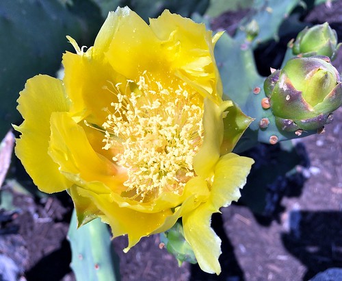
helotes texas usa iphonese apple cactus wildflower macrophotography
017e ~ Cactus Flower
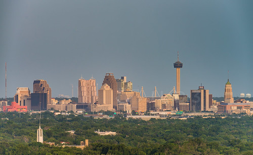
light sun inspiration skyline skyscraper project drive evening daylight nikon san downtown cityscape super hills telephoto highrise weeks antonio setting 52 d800 400mm supertelephoto clubhill
SA Skyline from Inspiration Hills [4 of 52]
sanantonio texas usa 081 hibiscus apple iphonese
IMG_3621e ~ Hibiscus
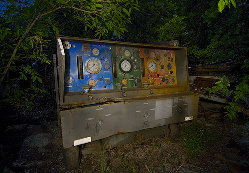
abandoned night san texas military equipment junkyard antonio
Cone of Silence
panorama sanantonio texas unitedstates panasonic seaworld hdr greatwhite steeleel tz60
SeaWorld San Antonio
6 sanantonio canon mirror texas 5 tx pass airshow f16 7d falcon thunderbirds airforce usaf thunderbird 2010 afb lackland airfest
Mirror Pass
panorama inspiration skyline photography high nikon san pano panoramic hills resolution daytime 28 sunlit antonio d800 400mm jld3
Inspiration Hills San Antonio Skyline Panorama [3c1r]
sanantonio plane canon fighter texas tx attack jet airshow raptor 7d f22 boeing airforce usaf base 100400mm 2010 afb lackland lockheedmartin airfest
F-22 Raptor
abandoned night junk san texas military equipment junkyard antonio
Gyro Tester
abandoned night san texas military equipment junkyard antonio
Radar Simulator
sanantonio canon texas tx cockpit helicopter 7d blackhawk hdr heli 2010 airfest uh60 1755mm
UH-60 Blackhawk Cockpit (HDR)
cars sanantonio shopping interestingness nikon texas basket trolley shoppingcart supermarket explore engines 100views 400views 300views 200views shoppingtrolley 500views cart grocerystore buggy carshow memorialday heb 800views 600views 700views 1000views grocerycart sanantoniotexas 900views bascart nikond40
Memorial Day Car Show
abandoned night junk san texas military dump equipment junkyard antonio
Spectrum Analysis / Power Management
sanantonio canon 1 texas tx airshow f16 7d falcon thunderbirds airforce usaf thunderbird hdr 2010 afb lackland airfest
Thunderbird #1 (HDR)
show water mystery sanantonio clouds texas play unitedstates crowd overcast row symmetry otter northamerica vendor canary bleachers sealion seaworld caper codfish flickraward
Fisheye View Of The Canary Row Caper Show @ SeaWorld SA
abandoned night junk san texas military equipment junkyard antonio
Fuel Control Cart
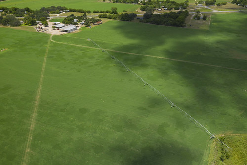
usda departmentofagriculture fpac nrcs eqip hay irrigation pivot subsurface underground drip tape
20200728-NRCS-LSC-0179
sanantonio plane canon us force aviation air united cargo airshow galaxy 7d states airforce usaf hdr c5 2010 airfest
C-5 Galaxy (HDR)
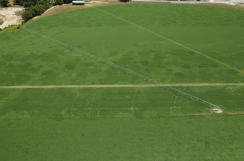
usda departmentofagriculture fpac nrcs eqip hay irrigation pivot subsurface underground drip tape
20200728-NRCS-LSC-0176
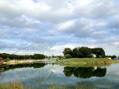
sunset sanantonio texas ride dusk tx rollercoaster seaworld steeleel
Sunset Ride, Sea World, San Antonio
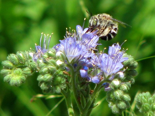
flower sanantonio texas bee wildflower purpleflower bexarcounty bluecurls opschnabel leoncreek anthophorinebee anthophoraurbana mlhradio phaceliacongesta
Picture A Day May 28, 2009 - Anthophorine Bee (Anthophora urbana) and Blue Curls (Phacelia congesta) at O.P. Schnabel Park
storm clouds day
Boiling clouds
sky sanantonio clouds golf texas lakes fairway hdr creeks canon1855mm denoise colorefexpro topazlabs niksoftware viveza silverefexpro hyatthillcountryresort canont1i adobephotoshopcs5extended
Revisiting an old shot
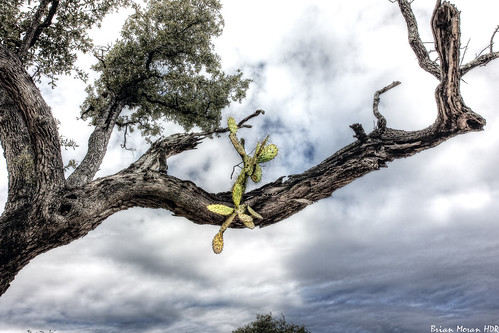
sanantonio texas alamoranch cactus tree nature cloudy landscape unique hdr photoshop nikcoloreffectspro viveza topazdenoise5 canon60d canon1740mmf4l
Cactus in a Tree
park reflection nature sanantonio steel rides eel seaworld shamu steeleel iphone4s
Shamu's iWorld 4S
forest o p schnabel park san antonio texas sanantonio usa unitedstatesofamerica nature natural south southern southwest woods bexar county hiking
Alamo Golf Course View - O. P. Schnabel Park - San Antonio - Texas - 10 December 2017
sanantonio clouds golf texas lakes golfcourse dxo sunbeam golfers canon1740mmf4l topazlabs canon60d niksoftware colorefexpro3 hyatthillcountryresort viveza2 adobephotoshopcs5extended denoise5 silverefexpro2 opticspro6
Lakes Course Sunbeams
vacation sanantonio zeiss texas planarf1450mm zeesstof hyattwildoakranchresort
Wild Oak View
sanantonio stmctc viametropolitantransit
STMCTC (2)
San Antonio - Austin Drupal Con 2014
forest o p schnabel park san antonio texas sanantonio usa unitedstatesofamerica nature natural south southern southwest woods bexar county hiking
Forest - O. P. Schnabel Park - San Antonio - Texas - 10 December 2017
instagramapp square squareformat iphoneography uploaded:by=instagram
Went to check out the new and improved Pearsall Park on the southside of San Antonio. This is just one of the many lay areas I shot at sunrise #sunrise #texassky #pearsallpark #sanantoniophotographer #satx #sanantonio #southside #satown #photographer #i
weather sanantonio clouds texas texasthunderstorms
Clouds west of San Antonio
sunset orange cloud storm night burnt
massive cloud at sunset
weather sanantonio clouds texas texasthunderstorms
Cloud Front
us texas unitedstates helotes
DSC_0066-HDR.jpg
trail op schnabel park san antonio texas bexar county hillcountry nature natural south southern southwest usa unitedstatesofamerica woods forest salado greenway
Pond - O.P. Schnabel Park - San Antonio - Texas - 18 December 2016
reflection delete10 sanantonio canon delete9 delete5 delete2 texas delete6 delete7 tx delete8 delete3 delete delete4 save 7d rollercoaster seaworld deletedbydeletemeuncensored
Amplitude Modulation
photo(qda5)
usa sanantonio spring texas tamron2875mm 2013
Sunny Grass
photo(2coe)
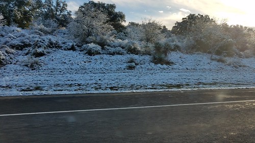
07Dec17 SA Snow-015