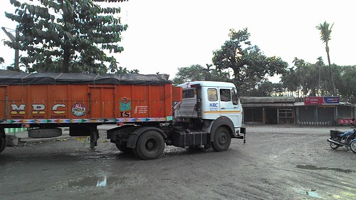
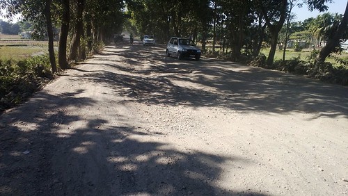
Elevation of Purba Daukimari, Dhupguri, West Bengal, India
Location: India > West Bengal > Jalpaiguri >
Longitude: 89.0056833
Latitude: 26.5814924
Elevation: 82m / 269feet
Barometric Pressure: 100KPa
Related Photos:
Topographic Map of Purba Daukimari, Dhupguri, West Bengal, India
Find elevation by address:

Places in Purba Daukimari, Dhupguri, West Bengal, India:
Places near Purba Daukimari, Dhupguri, West Bengal, India:
Dhupguri
Ethelbari Tea Garden
Gairkata
Dalgaon Forest
Dalgaon Tea Garden
Dalgaon
Birpara Tea Garden
Bara Saulmari
Cooch Behar Tea Garden Factory
Patgram
Patgram Upazila
Gopalpur Tea Garden
Jalpaiguri Division
Jalpaiguri
Dakshin Madarihat
The Mystic Forest - A Tea Garden Resort
Lataguri
Madhya Madarihat
Jalpaiguri
Karala
Recent Searches:
- Elevation of Corso Fratelli Cairoli, 35, Macerata MC, Italy
- Elevation of Tallevast Rd, Sarasota, FL, USA
- Elevation of 4th St E, Sonoma, CA, USA
- Elevation of Black Hollow Rd, Pennsdale, PA, USA
- Elevation of Oakland Ave, Williamsport, PA, USA
- Elevation of Pedrógão Grande, Portugal
- Elevation of Klee Dr, Martinsburg, WV, USA
- Elevation of Via Roma, Pieranica CR, Italy
- Elevation of Tavkvetili Mountain, Georgia
- Elevation of Hartfords Bluff Cir, Mt Pleasant, SC, USA


