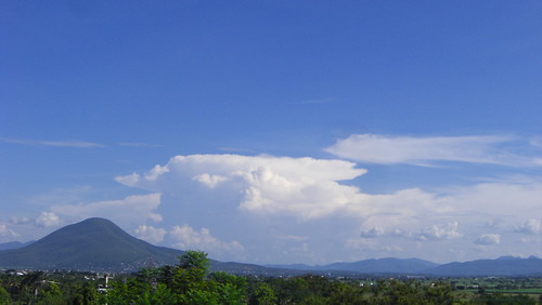
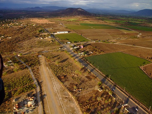
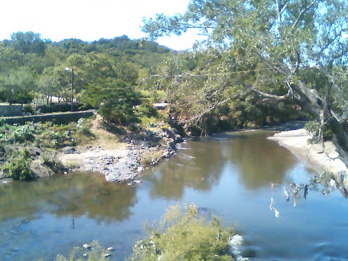
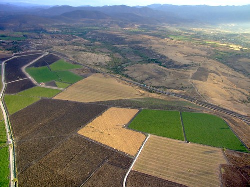
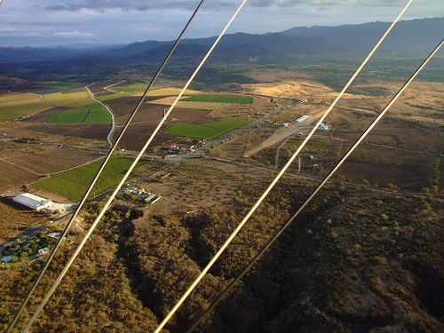
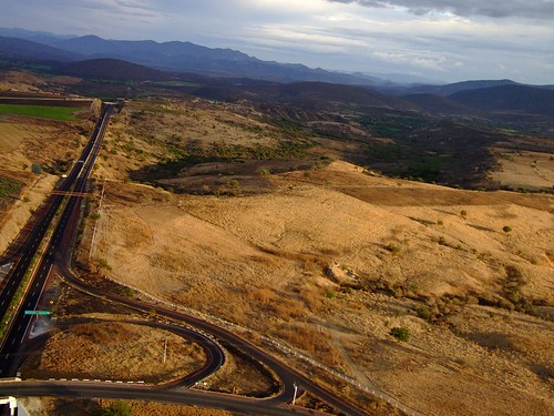
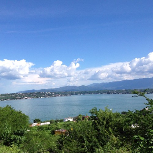
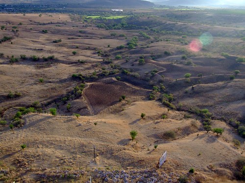
Elevation of Puente de Ixtla, Morelos, Mexico
Location: Mexico > Morelos >
Longitude: -99.323808
Latitude: 18.6175074
Elevation: 901m / 2956feet
Barometric Pressure: 91KPa
Related Photos:
Topographic Map of Puente de Ixtla, Morelos, Mexico
Find elevation by address:

Places in Puente de Ixtla, Morelos, Mexico:
Places near Puente de Ixtla, Morelos, Mexico:
Tequesquitengo
San José Vista Hermosa
San Nicolás Galeana
Calle Pedro Amaro 14, Centro, San Nicolás Galeana, Mor., Mexico
Centro
Zacatepec
Alpuyeca
No Reelección 35, Centro, Alpuyeca, Mor., Mexico
Centro
Jojutla
De Las Flores 4, Centro, Miacatlán, Mor., Mexico
Miacatlán
Centro
Miacatlán
Xochicalco
Cacaxtla
Xochitepec
#67
Lazaro Cardenas
Chiconcuac
Recent Searches:
- Elevation of Corso Fratelli Cairoli, 35, Macerata MC, Italy
- Elevation of Tallevast Rd, Sarasota, FL, USA
- Elevation of 4th St E, Sonoma, CA, USA
- Elevation of Black Hollow Rd, Pennsdale, PA, USA
- Elevation of Oakland Ave, Williamsport, PA, USA
- Elevation of Pedrógão Grande, Portugal
- Elevation of Klee Dr, Martinsburg, WV, USA
- Elevation of Via Roma, Pieranica CR, Italy
- Elevation of Tavkvetili Mountain, Georgia
- Elevation of Hartfords Bluff Cir, Mt Pleasant, SC, USA
