Elevation of Public Square, Greenfield, IA, USA
Location: United States > Iowa > Adair County > Greenfield > Greenfield >
Longitude: -94.461050
Latitude: 41.3050988
Elevation: 419m / 1375feet
Barometric Pressure: 96KPa
Elevation Map:
Satellite Map:
Related Photos:
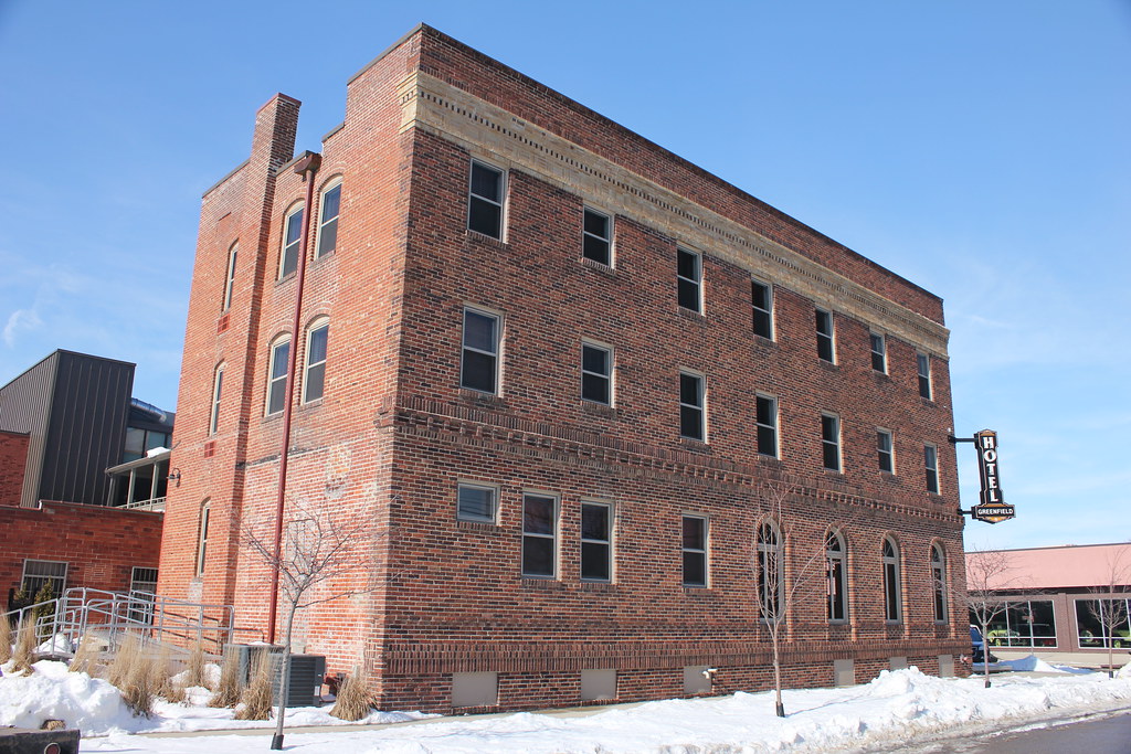
Hotel Greenfield (rear view) - Greenfield, IA
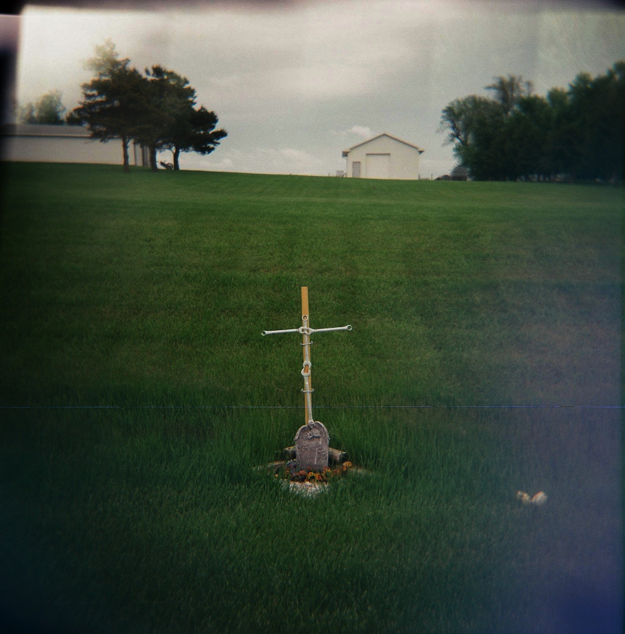
memorial, highway 92
Road trip #2
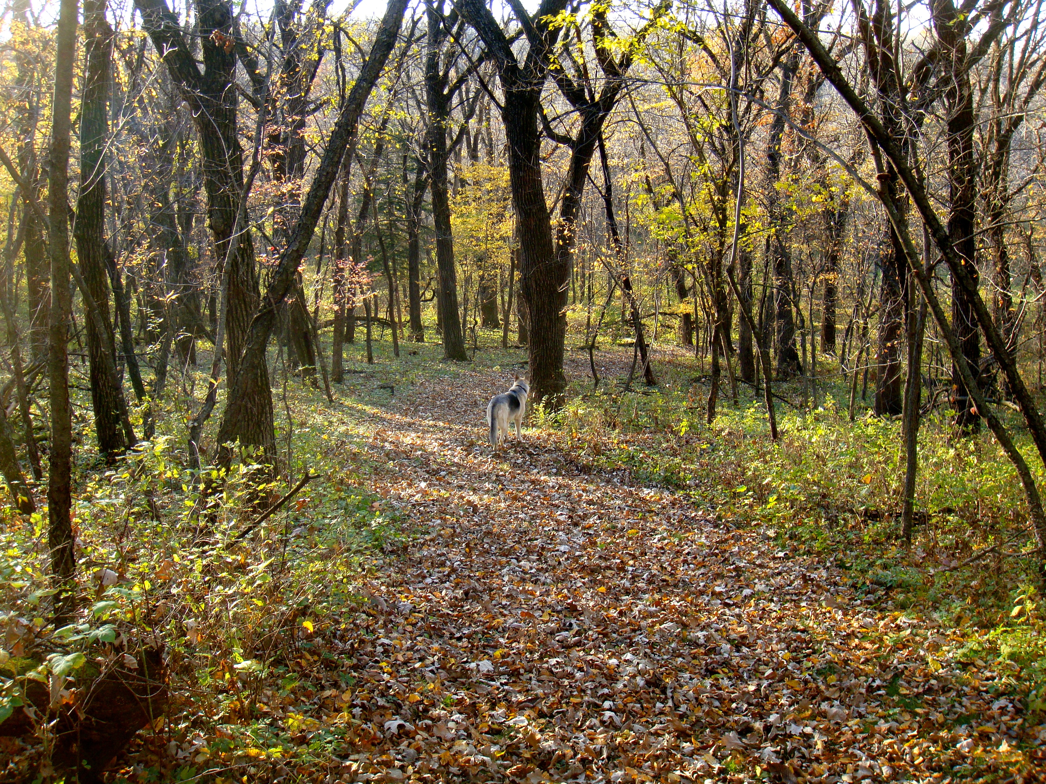
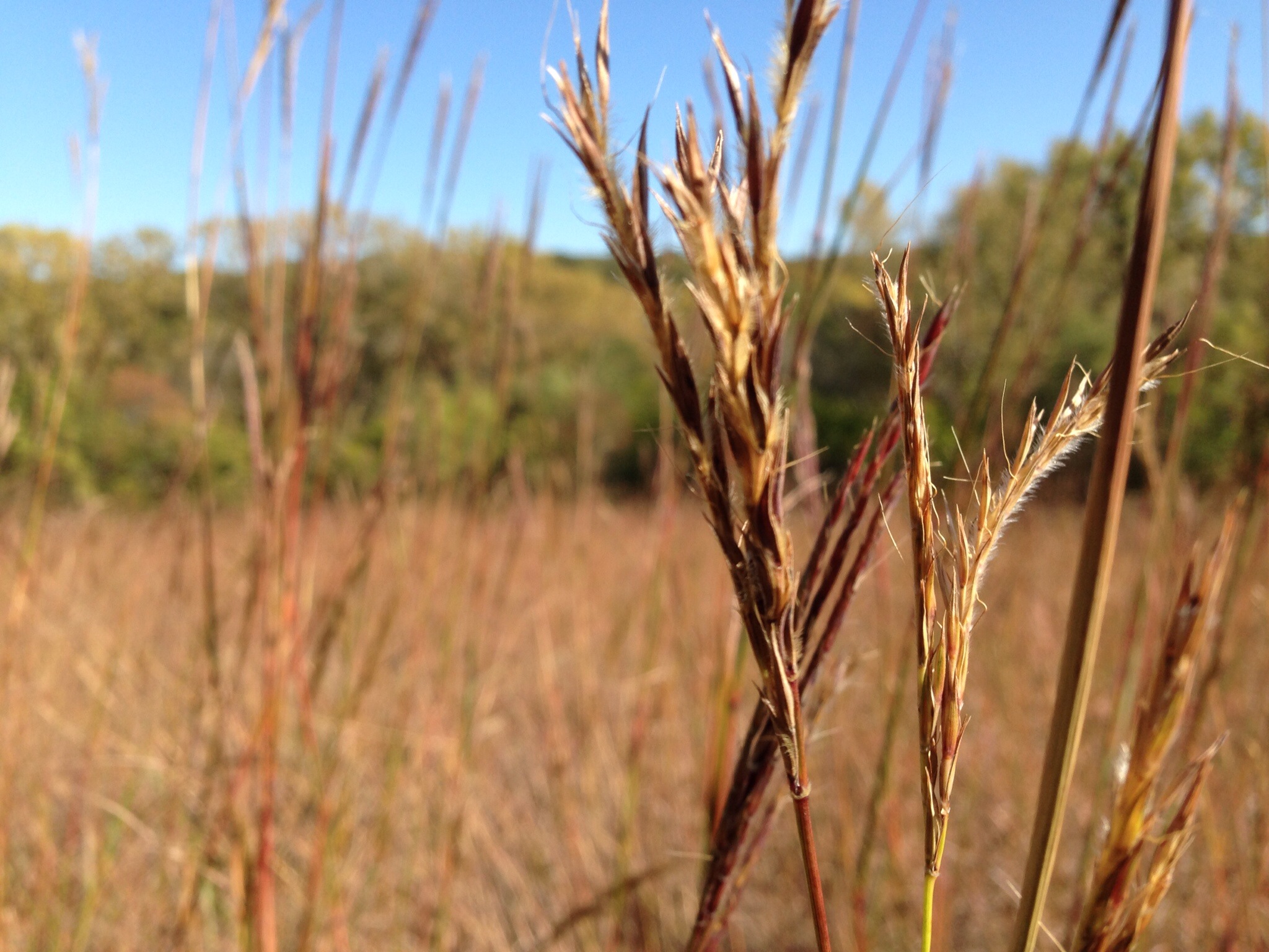
Ken Sidey Nature Area, Iowa
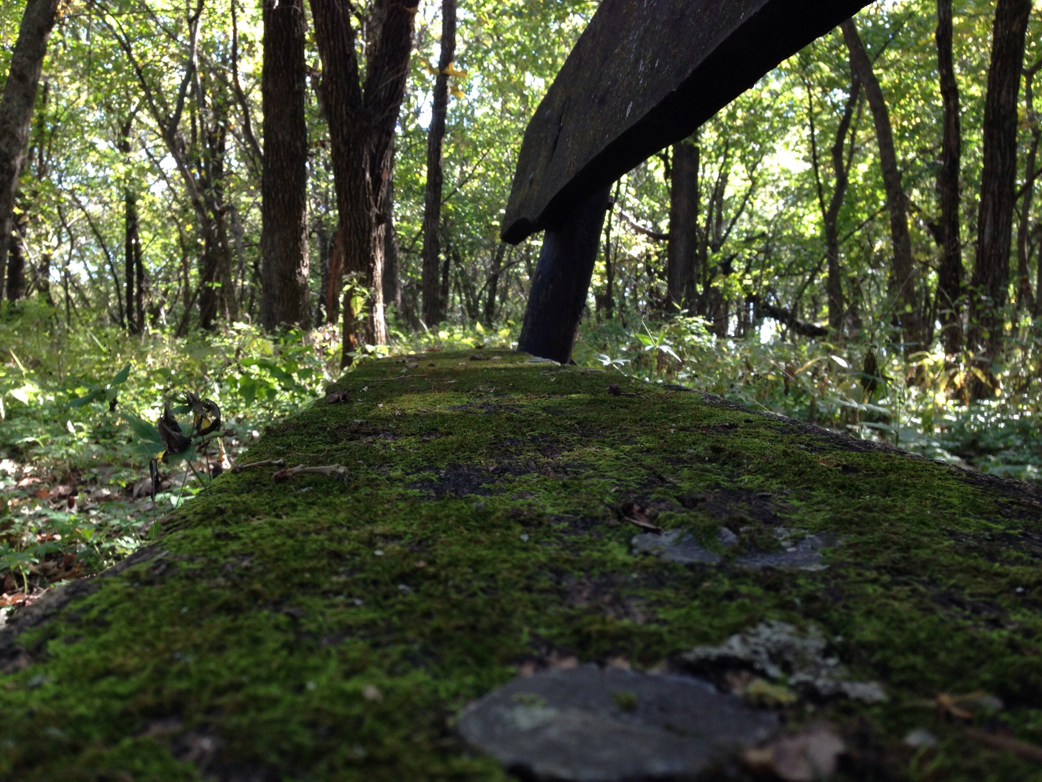
Ken Sidey Nature Area, Adair County, Iowa
03-22-2011_003
Ken Sidey Nature Area, Iowa
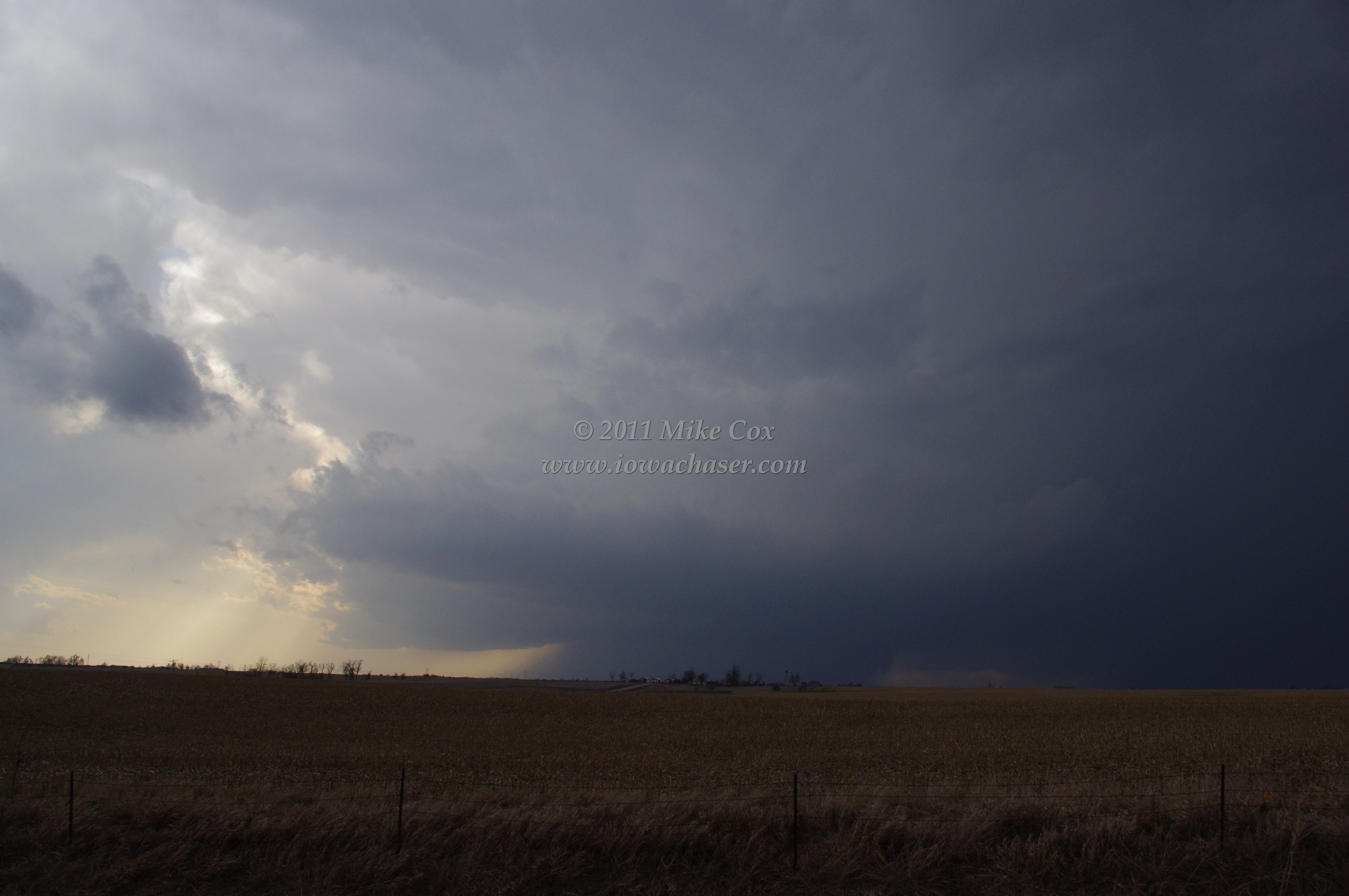
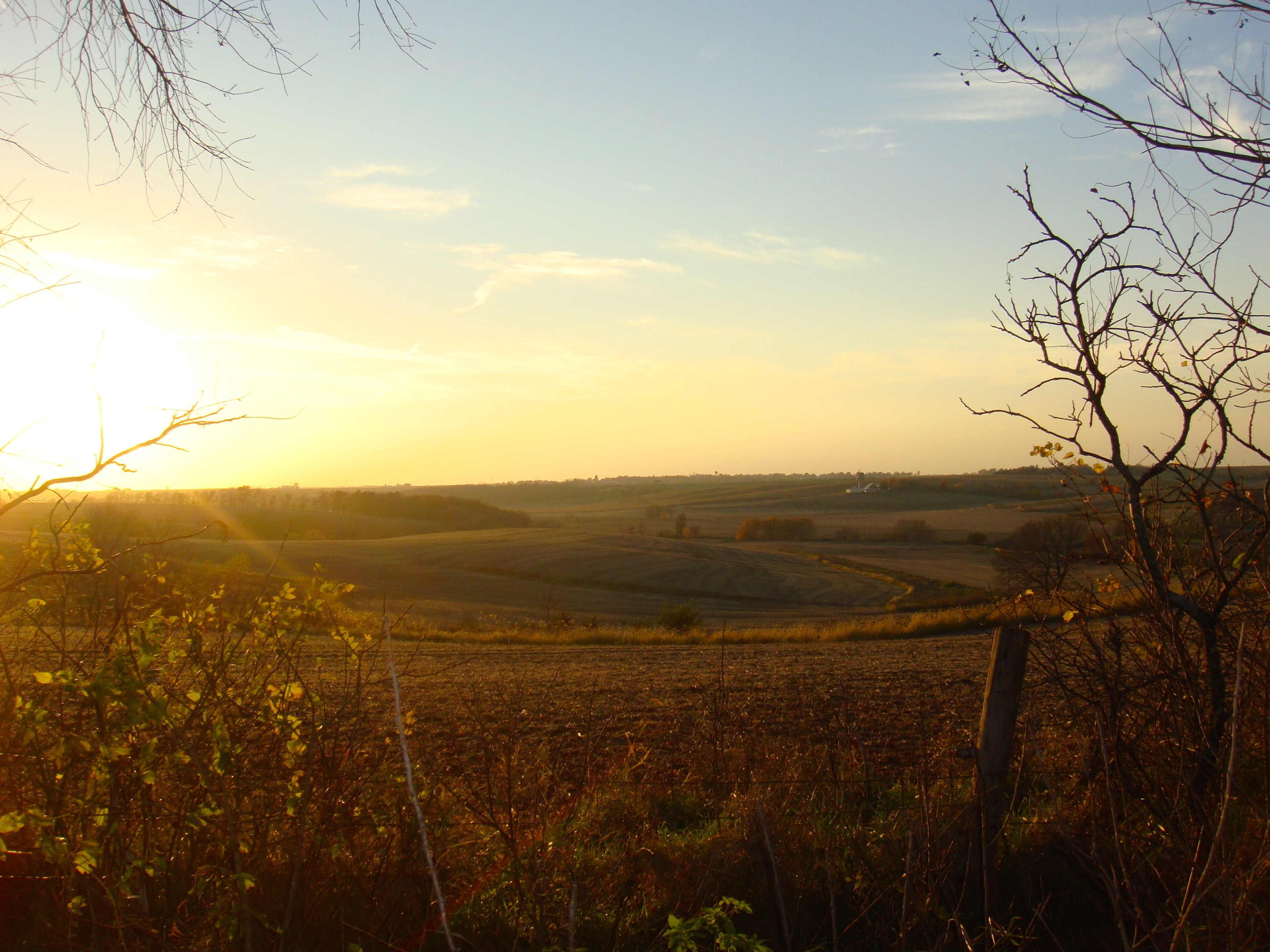
The Other Side
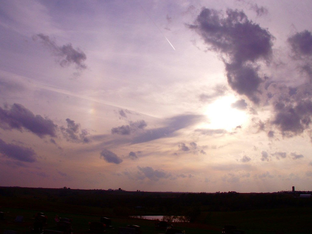
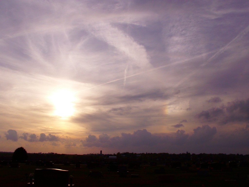
sundog!
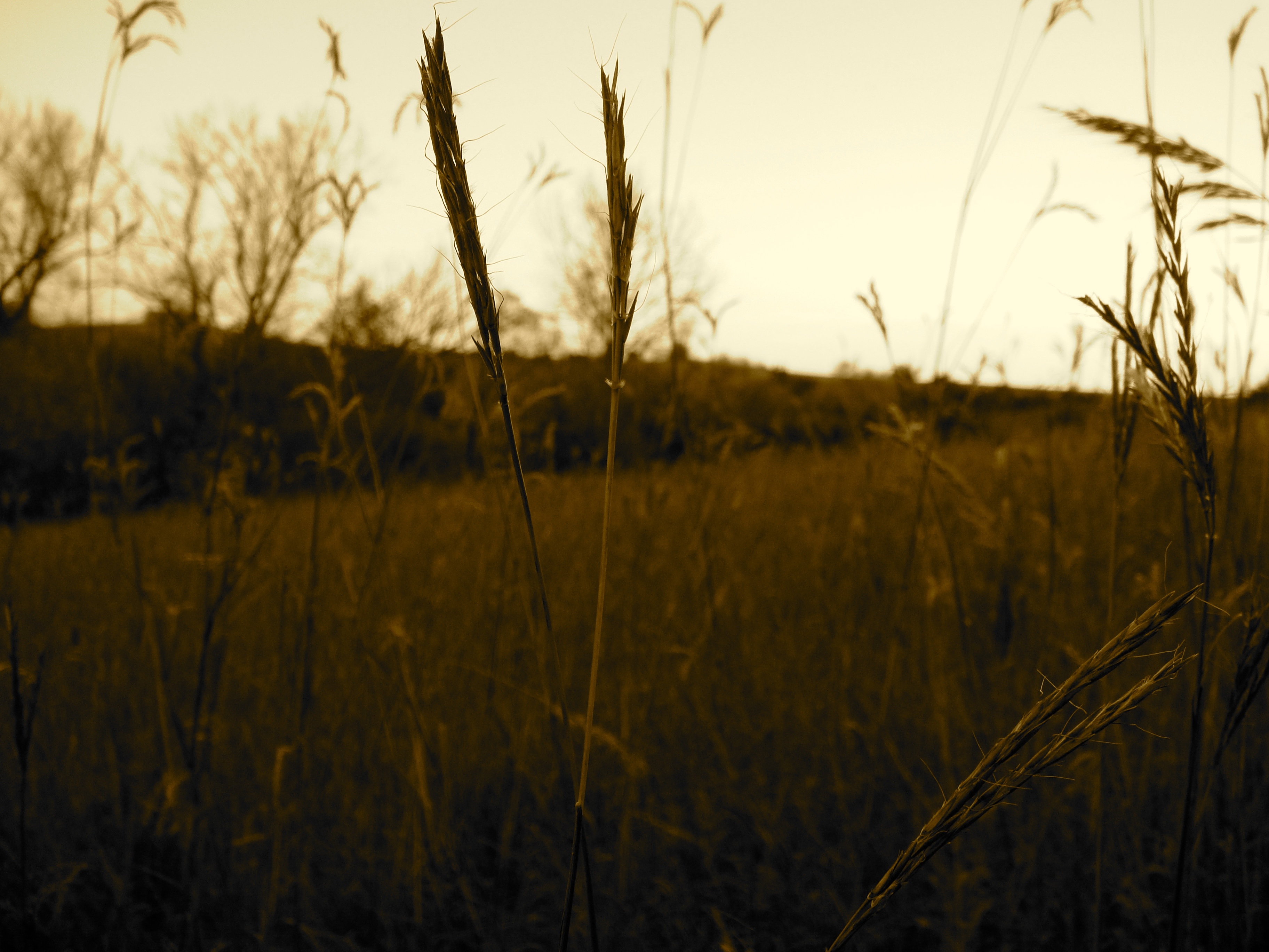
Ken Sidey Nature Area, Iowa
Ken Sidey Nature Area, Adair County, Iowa
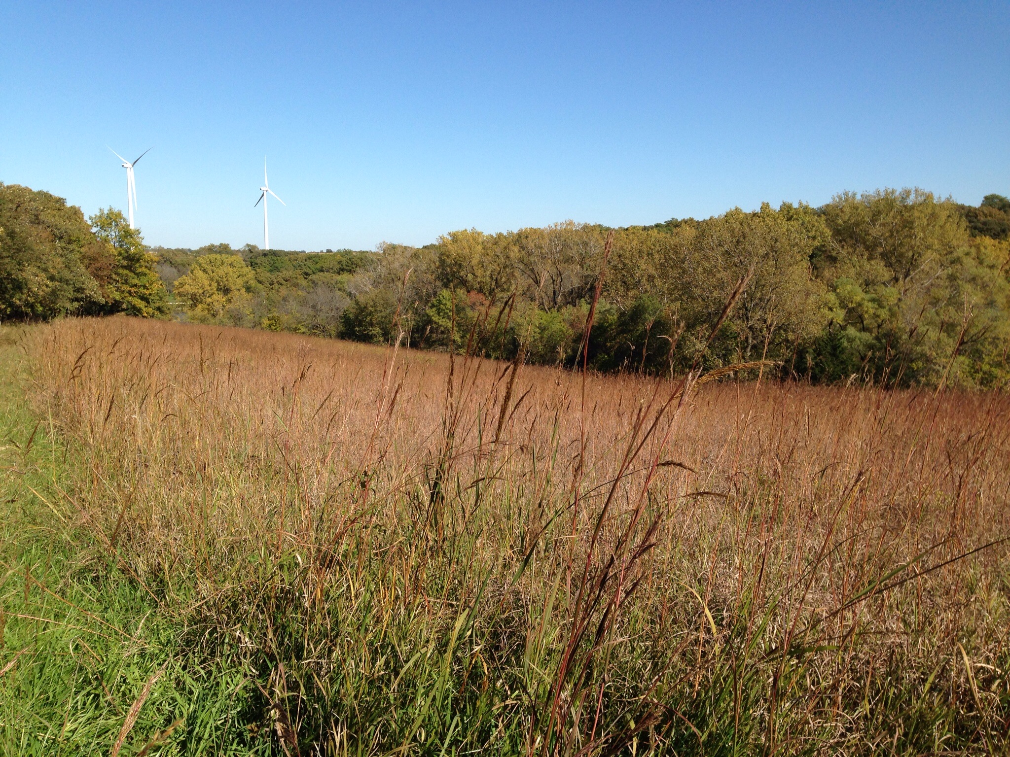
Ken Sidey Nature Area, Adair County, Iowa
03-22-2011_002
Topographic Map of Public Square, Greenfield, IA, USA
Find elevation by address:

Places near Public Square, Greenfield, IA, USA:
Greenfield
Greenfield
Adair County
1756 Victor Ave
Casey
Mc Pherson St, Casey, IA, USA
Lincoln
Thompson
Co Rd P28, Stuart, IA, USA
Stuart
Monroe Avenue Ext'd
720 N Oak St
720 N Oak St
720 N Oak St
701 N Birch St
701 N Birch St
1200 W Adams St
Creston
Adair
New York Ave, Creston, IA, USA
Recent Searches:
- Elevation of Corso Fratelli Cairoli, 35, Macerata MC, Italy
- Elevation of Tallevast Rd, Sarasota, FL, USA
- Elevation of 4th St E, Sonoma, CA, USA
- Elevation of Black Hollow Rd, Pennsdale, PA, USA
- Elevation of Oakland Ave, Williamsport, PA, USA
- Elevation of Pedrógão Grande, Portugal
- Elevation of Klee Dr, Martinsburg, WV, USA
- Elevation of Via Roma, Pieranica CR, Italy
- Elevation of Tavkvetili Mountain, Georgia
- Elevation of Hartfords Bluff Cir, Mt Pleasant, SC, USA