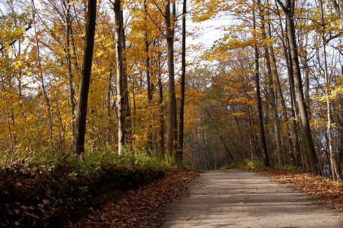
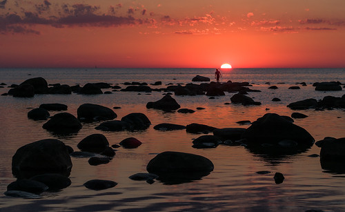
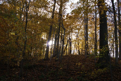
Elevation of Provost Rd, Ontario N0N 1J1, Canada
Location: Canada > Ontario > Lambton County > Kettle Point Indian Reserve No. 44 >
Longitude: -82.010488
Latitude: 43.2075953
Elevation: 177m / 581feet
Barometric Pressure: 99KPa
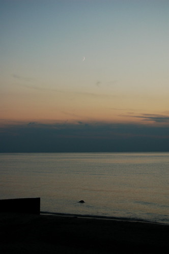
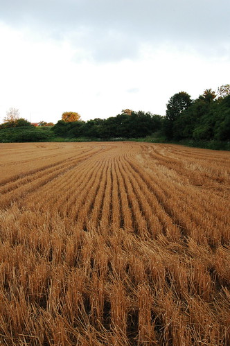
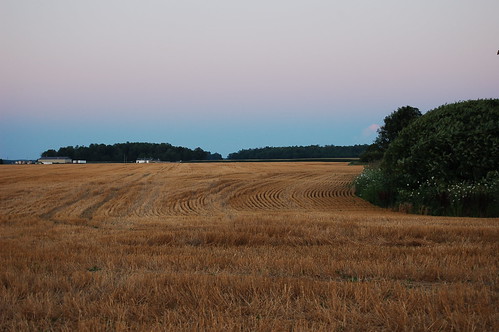
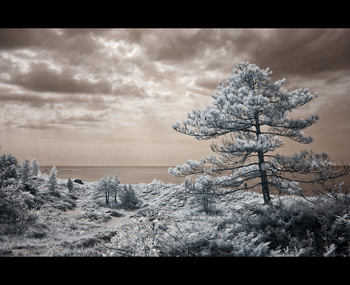
Related Photos:
Topographic Map of Provost Rd, Ontario N0N 1J1, Canada
Find elevation by address:

Places near Provost Rd, Ontario N0N 1J1, Canada:
6112 Provost Rd
9800 Lake Rd
9518 Lake Rd
6294 Spruce St
Kettle Point Indian Reserve No. 44
9605 Beachway Dr
Lakeshore Rd, Lambton Shores, ON N0N 1J2, Canada
E Parkway Dr, Lambton Shores, ON N0N 1J3, Canada
Oak Ave, Lambton Shores, ON N0N 1J7, Canada
23 Albert St
Forest
Port Franks
Lambton Shores
7159 Uttoxeter Rd
9799 North St
Lambton County
Thedford
80 3rd St
8854 Timberwood Trail
Pinery Provincial Park
Recent Searches:
- Elevation of Corso Fratelli Cairoli, 35, Macerata MC, Italy
- Elevation of Tallevast Rd, Sarasota, FL, USA
- Elevation of 4th St E, Sonoma, CA, USA
- Elevation of Black Hollow Rd, Pennsdale, PA, USA
- Elevation of Oakland Ave, Williamsport, PA, USA
- Elevation of Pedrógão Grande, Portugal
- Elevation of Klee Dr, Martinsburg, WV, USA
- Elevation of Via Roma, Pieranica CR, Italy
- Elevation of Tavkvetili Mountain, Georgia
- Elevation of Hartfords Bluff Cir, Mt Pleasant, SC, USA
