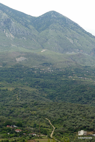
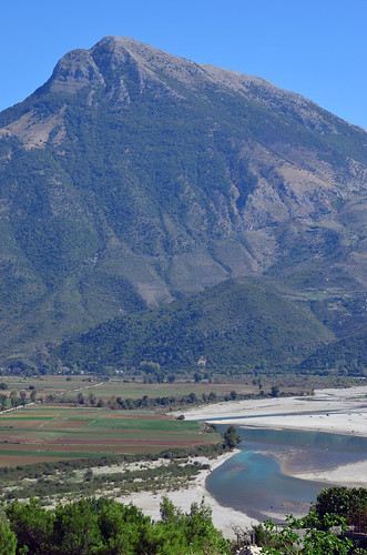
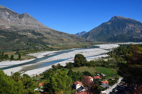
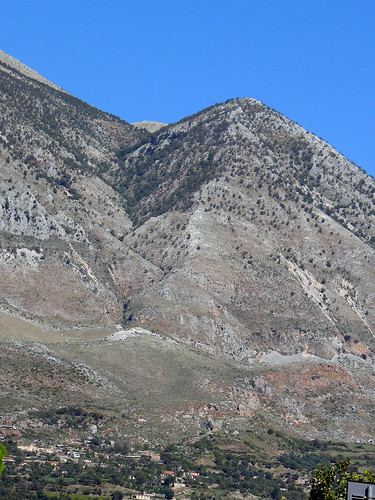
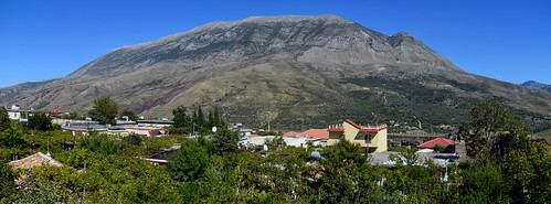
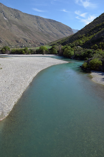
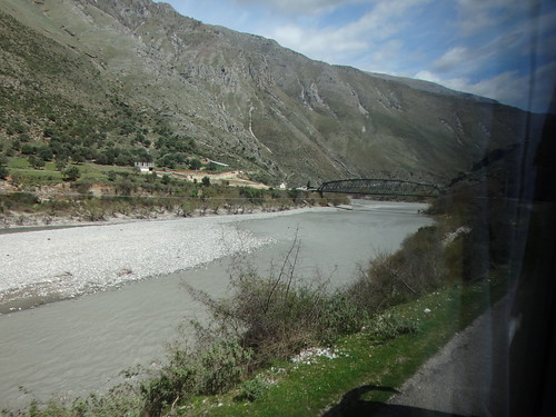
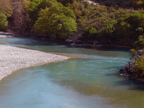
Elevation of Progonat, Albania
Location: Albania > Gjirokastër County > Tepelenë District >
Longitude: 19.94522
Latitude: 40.2127456
Elevation: 929m / 3048feet
Barometric Pressure: 91KPa
Related Photos:
Topographic Map of Progonat, Albania
Find elevation by address:

Places near Progonat, Albania:
Bënçë
Tepelenë District
Vlorë County
Rruga Syrja Kasi
Këlcyrë
Gjirokastër County
Sarandë
Çorovoda
Çorovoda
Thinali
Mount Pantokrator
Buthrotum
Sidari
Canal D'amour Beach
Cape Drastis
Super Market Melitsa
Rruga Fan Noli
Melitsa
Agii Douli
Sokraki
Recent Searches:
- Elevation of Corso Fratelli Cairoli, 35, Macerata MC, Italy
- Elevation of Tallevast Rd, Sarasota, FL, USA
- Elevation of 4th St E, Sonoma, CA, USA
- Elevation of Black Hollow Rd, Pennsdale, PA, USA
- Elevation of Oakland Ave, Williamsport, PA, USA
- Elevation of Pedrógão Grande, Portugal
- Elevation of Klee Dr, Martinsburg, WV, USA
- Elevation of Via Roma, Pieranica CR, Italy
- Elevation of Tavkvetili Mountain, Georgia
- Elevation of Hartfords Bluff Cir, Mt Pleasant, SC, USA
