Elevation map of Prince of Wales-Hyder Census Area, AK, USA
Location: United States > Alaska >
Longitude: -132.60445
Latitude: 55.3242244
Elevation: 595m / 1952feet
Barometric Pressure: 94KPa
Elevation Map:
Satellite Map:
Related Photos:
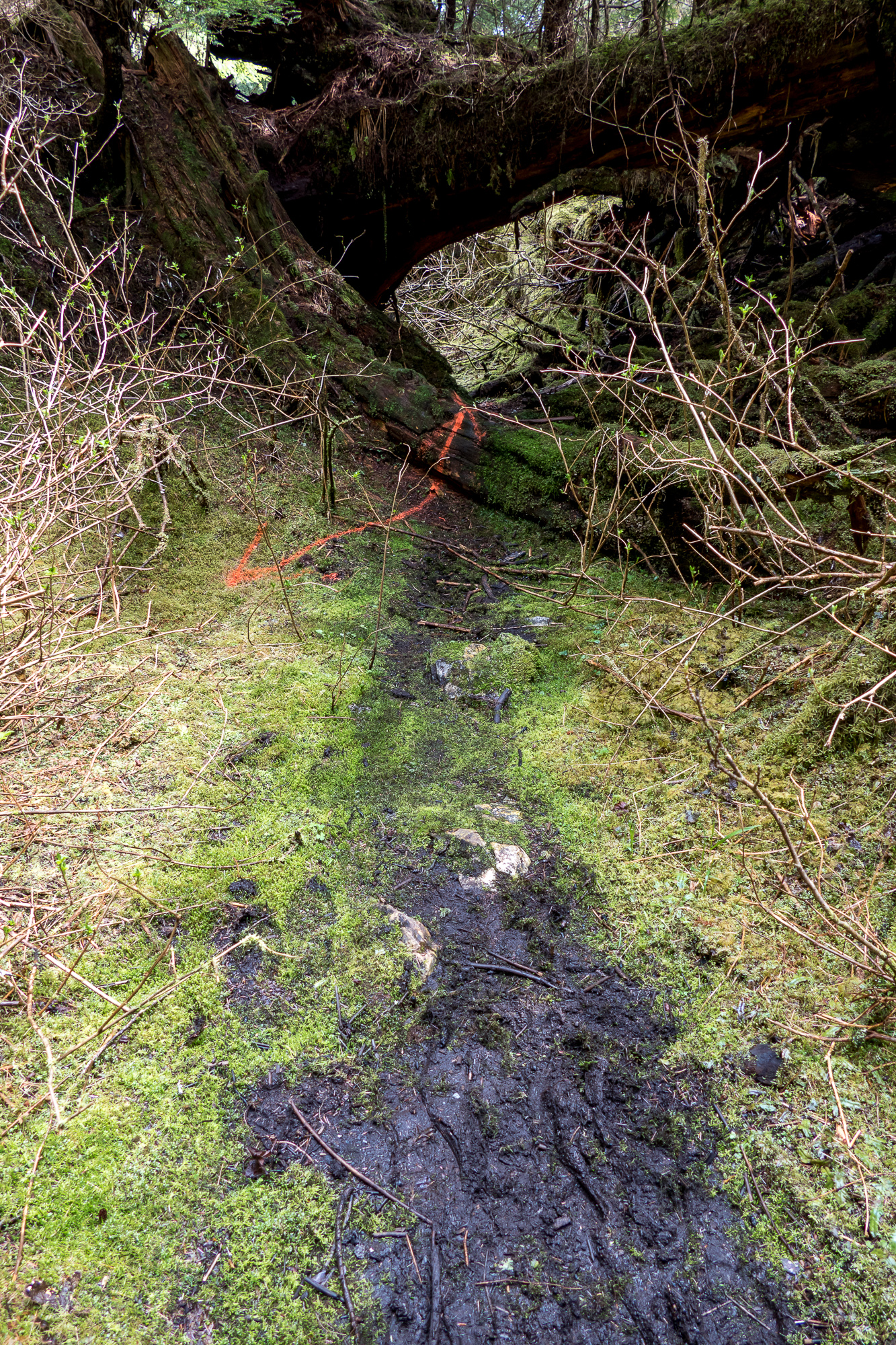
Old Kook Lake Trail - Basket Bay Bear Viewing
Topographic Map of Prince of Wales-Hyder Census Area, AK, USA
Find elevation by address:

Places in Prince of Wales-Hyder Census Area, AK, USA:
Places near Prince of Wales-Hyder Census Area, AK, USA:
Recent Searches:
- Elevation of Corso Fratelli Cairoli, 35, Macerata MC, Italy
- Elevation of Tallevast Rd, Sarasota, FL, USA
- Elevation of 4th St E, Sonoma, CA, USA
- Elevation of Black Hollow Rd, Pennsdale, PA, USA
- Elevation of Oakland Ave, Williamsport, PA, USA
- Elevation of Pedrógão Grande, Portugal
- Elevation of Klee Dr, Martinsburg, WV, USA
- Elevation of Via Roma, Pieranica CR, Italy
- Elevation of Tavkvetili Mountain, Georgia
- Elevation of Hartfords Bluff Cir, Mt Pleasant, SC, USA