Elevation of Prigen, Pasuruan, East Java, Indonesia
Location: Indonesia > East Java > Pasuruan >
Longitude: 112.643702
Latitude: -7.6965985
Elevation: 671m / 2201feet
Barometric Pressure: 94KPa
Elevation Map:
Satellite Map:
Related Photos:

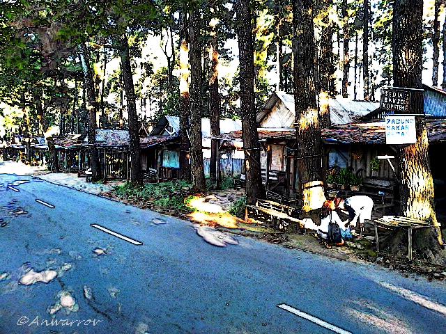
Warung Desa

DSC01593-flickr

In The Middle Of Bamboo Forest
Wish You Were Here.....
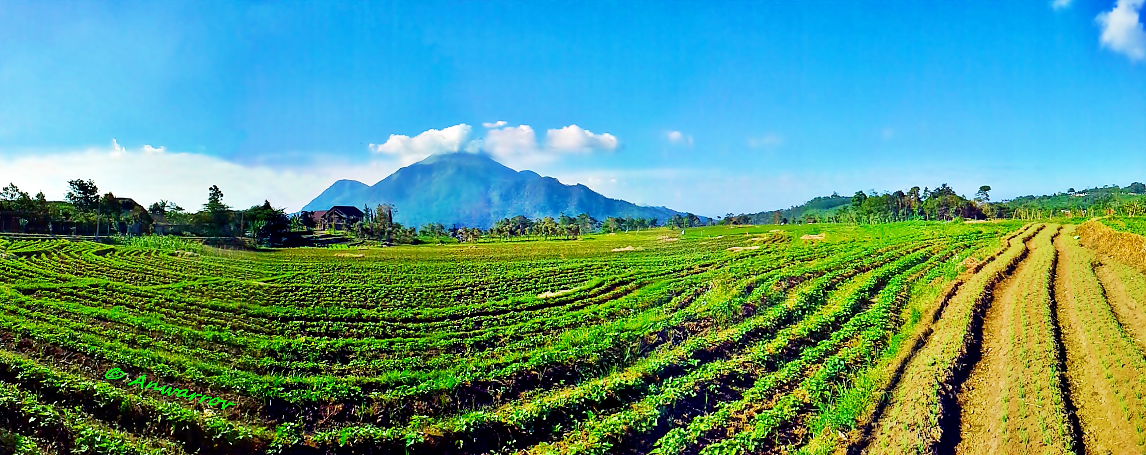
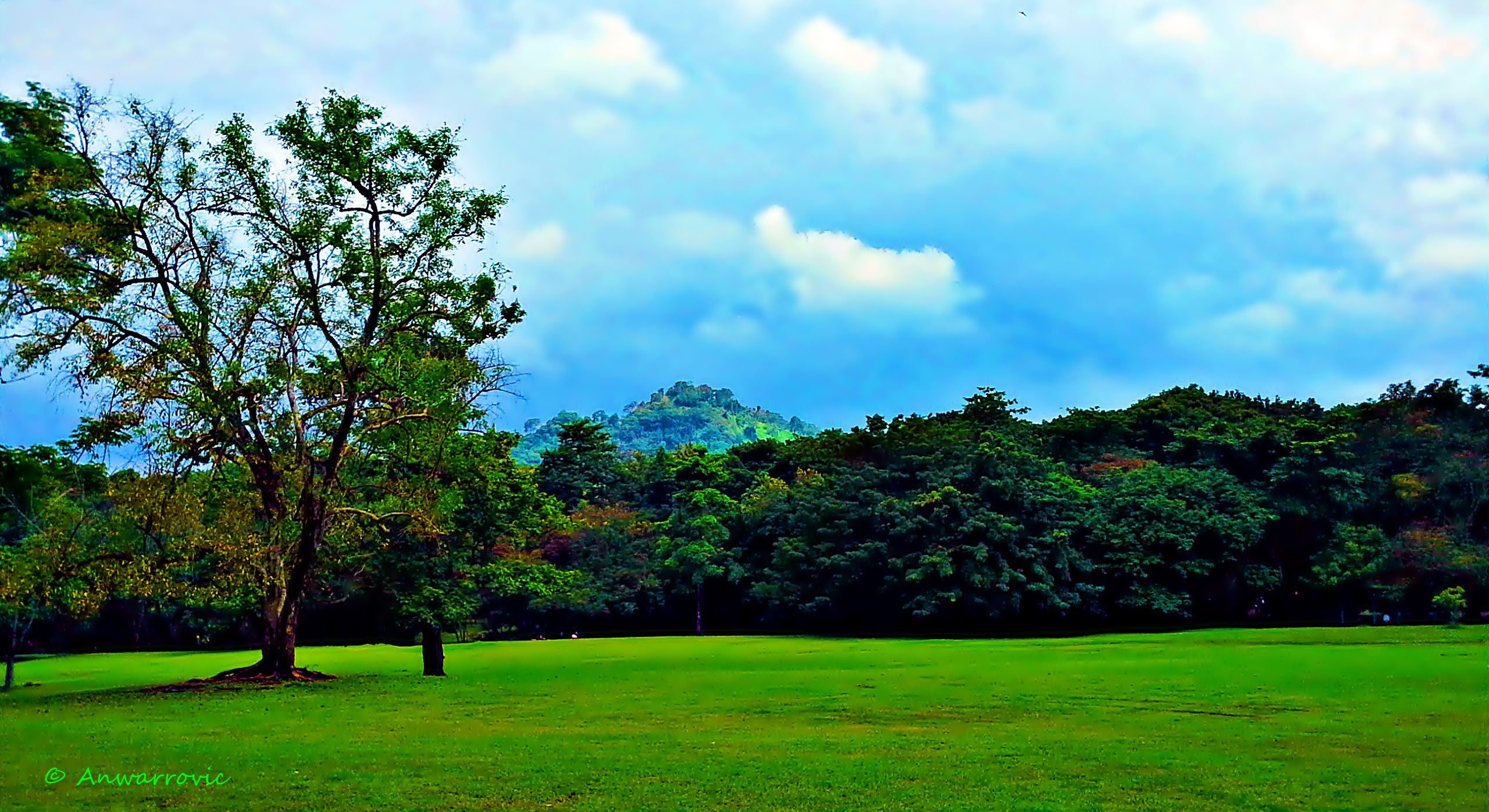
Summer Field

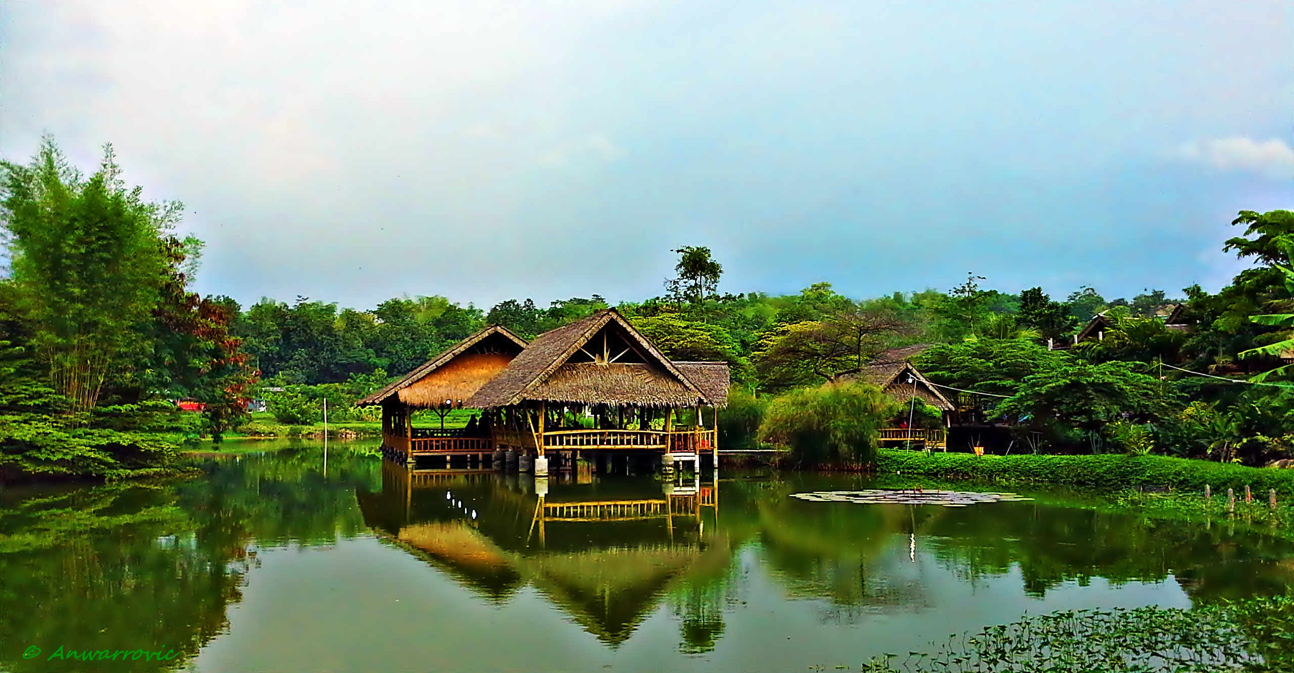
Gubug Makan Mang Engking, Prigen
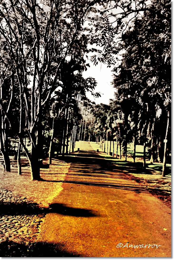
The Long And Winding Road
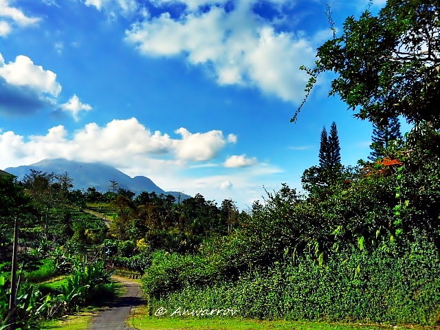
Road To The Mountain
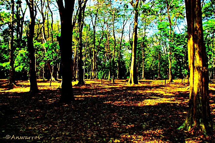
Shadows Between The Trees
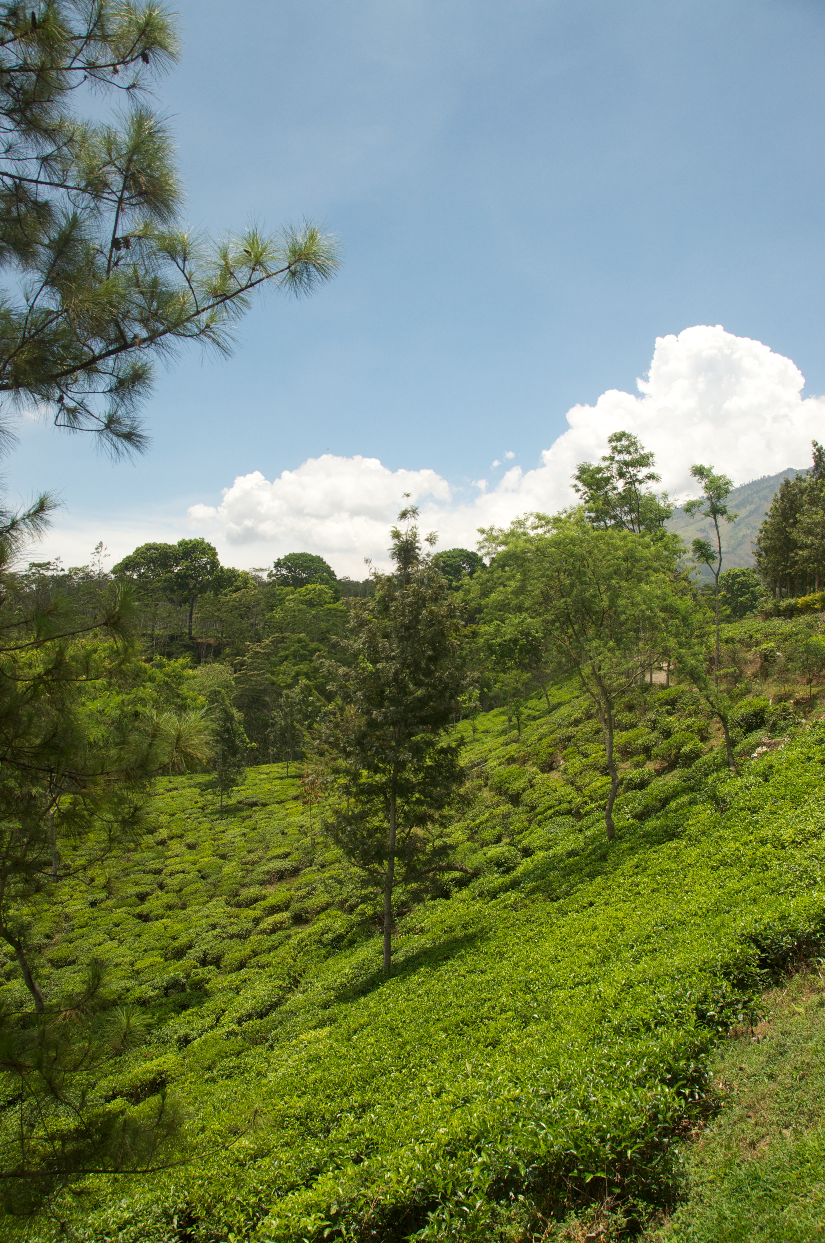
Among The Pine Trees
Indonesië 2011-1027-062614
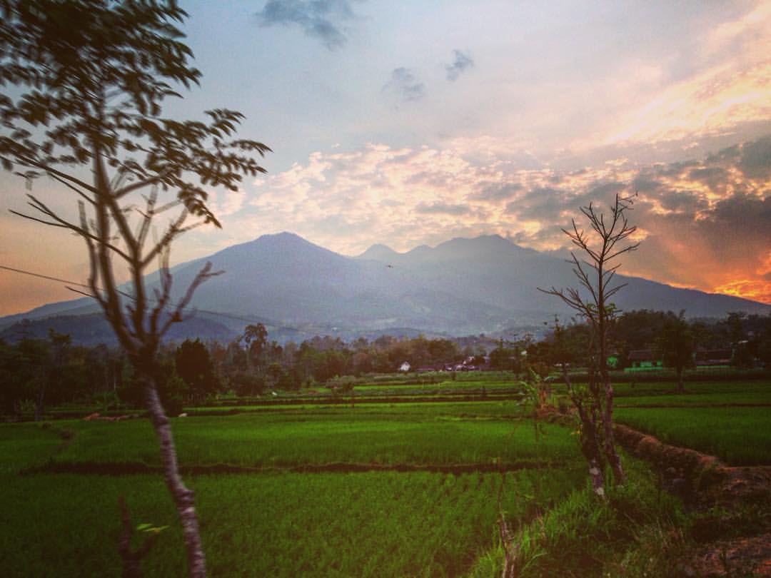
Sunset near with Mount Penanggungan as the background - #nature #landscape #sunset #roadtrip @natgeotravel @natgeo
Green Green Grass of....
On The Pond
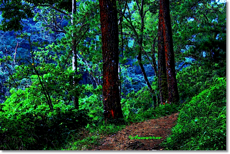
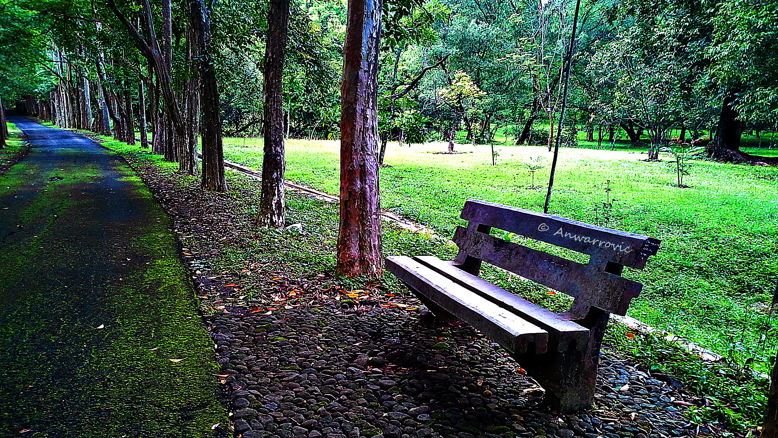
The Path In The Forest
Dan lain-lain....

Volcan Bromo en la isla de Java
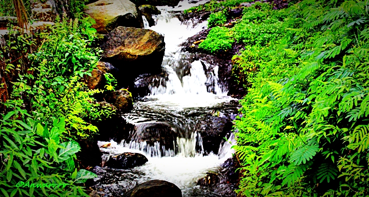
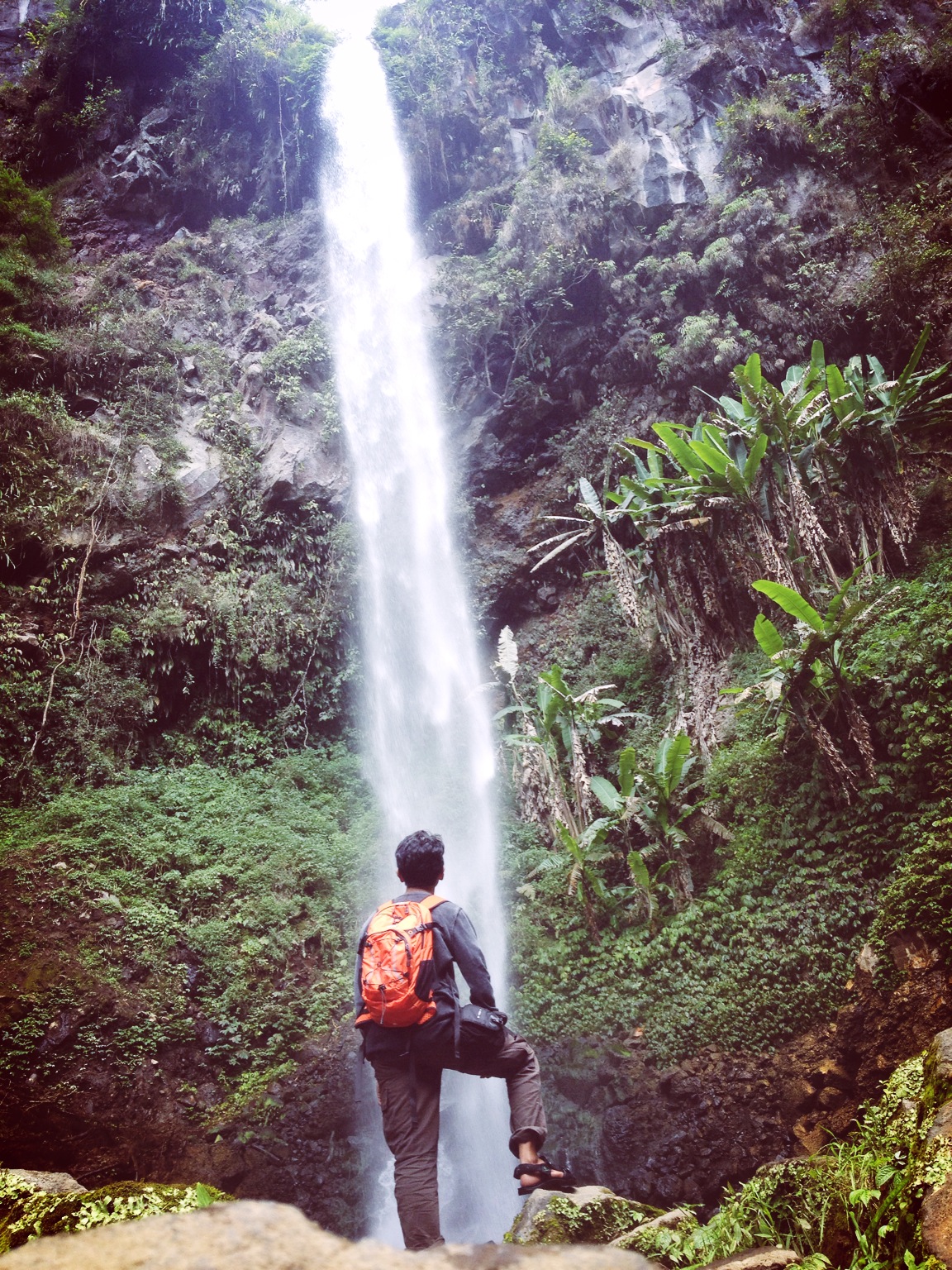
From The Top Down

What I see.. #NoFilter #HDR #JalanTolPasuruan.
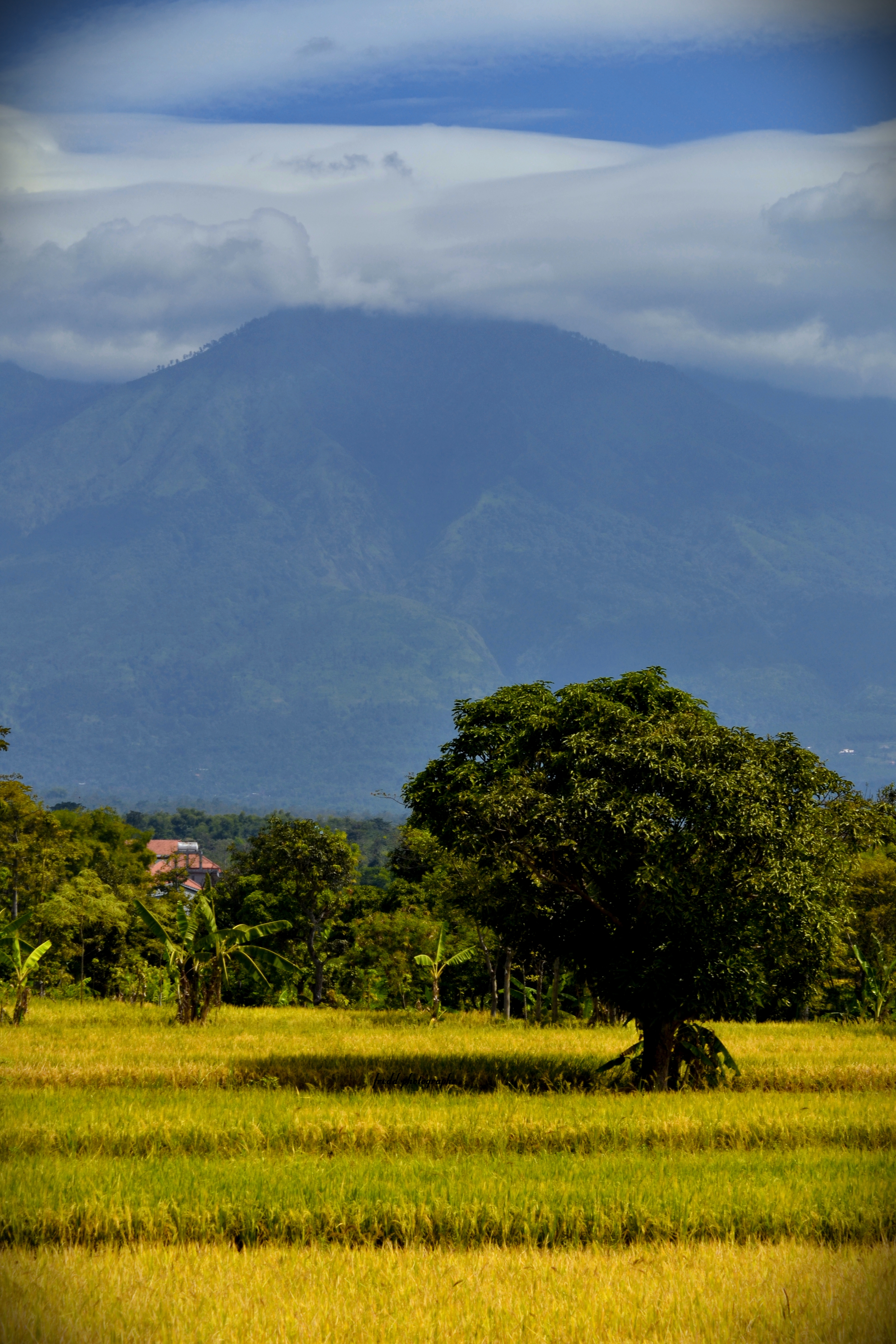
Save The World or The World Won't Be Safe For You!!!

2012-06-28_05-38-53_307

Green Fields N Green Forest
Topographic Map of Prigen, Pasuruan, East Java, Indonesia
Find elevation by address:

Places in Prigen, Pasuruan, East Java, Indonesia:
Places near Prigen, Pasuruan, East Java, Indonesia:
Pecalukan
Trawas
Arjuno-welirang
Jatiarjo
Petungasri
Petung Sari
Prigen Safari Park
Kepiting Cak Gundul 1992
Pandaan
Mount Penanggungan
Gunung Arjuna
Pacet
Hutan
Pacet
Made
8gqr+r3j
Taman Pacet
Ngoro
Purwodadi
Krajan
Recent Searches:
- Elevation of Corso Fratelli Cairoli, 35, Macerata MC, Italy
- Elevation of Tallevast Rd, Sarasota, FL, USA
- Elevation of 4th St E, Sonoma, CA, USA
- Elevation of Black Hollow Rd, Pennsdale, PA, USA
- Elevation of Oakland Ave, Williamsport, PA, USA
- Elevation of Pedrógão Grande, Portugal
- Elevation of Klee Dr, Martinsburg, WV, USA
- Elevation of Via Roma, Pieranica CR, Italy
- Elevation of Tavkvetili Mountain, Georgia
- Elevation of Hartfords Bluff Cir, Mt Pleasant, SC, USA