Elevation of Prescott Regional Airport, Mac Curdy Dr, Prescott, AZ, USA

Location: United States > Arizona > Yavapai County > Prescott >

Longitude: -112.42723

Latitude: 34.6498173

Elevation: 1530m / 5020feet

Barometric Pressure: 84KPa

Elevation Map:

elevation map of Prescott Regional Airport, Mac Curdy Dr, Prescott, AZ, USA

Satellite Map:

Satellite map of Prescott Regional Airport, Mac Curdy Dr, Prescott, AZ, USA

Related Photos:

prescott arizona unitedstates us
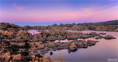
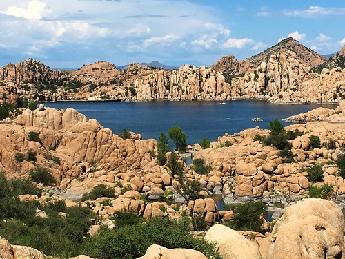
Pano View of Watson Lake
prescott arizona photography flikr 2020 professional landscape cannon sunset sunrise forest nature mountain trails camping hike 2019 scenery views beautiful family geographic national
Prescott Arizona
arizona lake prescott snow water watsonlake winter winterstorm winteraerial dells drone rocks snowing
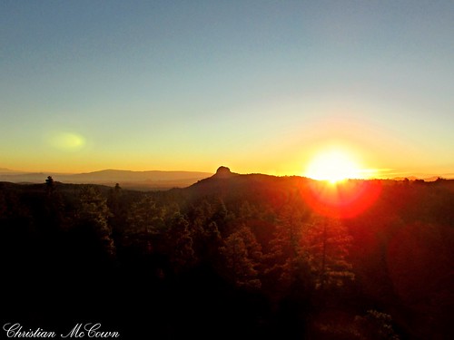
Frozen Sunburst
adelheidsphotography adelheidsmitt adelheidspictures america arizona granitedells watsonlake prescott dells morning lake landscape
Watson Lake 4/4
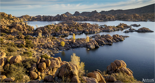
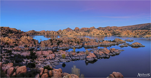
adelheidsphotography adelheidsmitt adelheidspictures america water watsonlake landscape lake bluehour blue granitedells prescott arizona southwest usa unitedstates
Watson Lake 2/4
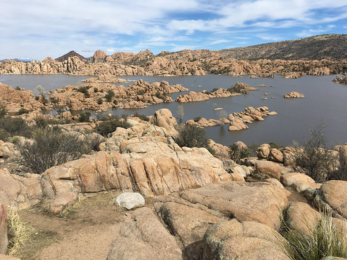
arizona watson prescott lake american west granite explore explored landscape western iphone geotag geotagged batholith
First View, Watson Lake
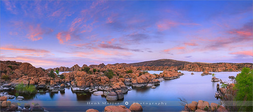
blue sunset arizona sky panorama cliff usa cloud lake reflection nature water rock horizontal stone clouds america canon reflections landscape outdoors photography reflecting evening landscapes rocks colorful day mood silent view dusk stones glory pano wide smooth peaceful tranquility atmosphere nopeople panoramic boulder boulders waters colourful shape prescott watsonlake rockformation wideview colorimage floydian leefilters canoneos1dsmarkiii henkmeijer
Watson Lake - Prescott - Arizona
arizona clouds dji granite granitemountain lake prescott snow sunset water watsonlake willowlake winter winterstorm dells drone landscape reflection
Frozen Sunset
Mountain view
truck semi international 18wheeler koch bigrig 30000views prescottvalleyarizona nikond40 kochtrucking
Koch Trucking
truck semi explore werner peterbilt 18wheeler bigrig 12000views prescottaz wernerenterprises
Werner Enterprises
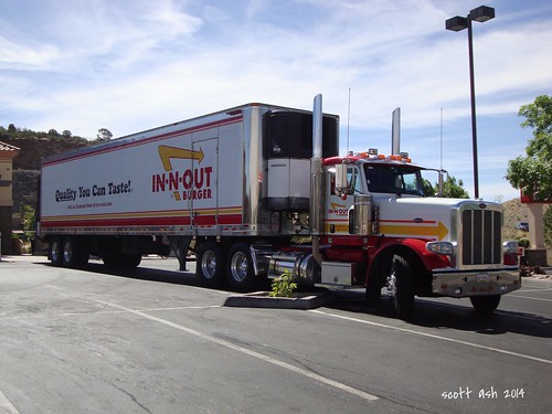
peterbilt semi truck 18wheeler innoutburger diesel prescottaz fastfood 26june2014 sonydscw220 explore 10000views
In-N-Out Burger - Peterbilt 388
truck volvo semi reefer 18wheeler bigrig 5000views prescottvalley nikond40 shamrockfoods
Shamrock Foods
arizonadepartmentofpublicsafety dps highwaypatrol arizonahighwaypatrol police statepolice ford crownvic policeinterceptor prescottaz arizona az slicktop policecar car arizonastatetroopers statetrooper 6000views
Arizona State Trooper- Highway Patrol
truck semi 18wheeler bigrig freightliner 2000views prescottvalley nikond40 giltner giltnerinc
Giltner Inc.
ironkingtrail
Views From The Iron King Trail
mountainviewcemetery portrait nurse finalrestingplace headstone tombstone gravestone yavapaicounty americansouthwest prescottarizona
Nurse Marian
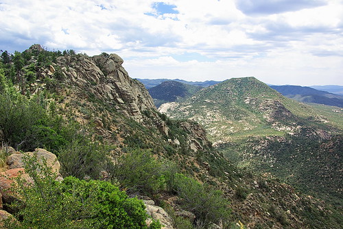
arizona mountain hiking az hike granite vista wilderness prescott vistapoint granitemountain usfs azhike alhikesaz
View to west - Granite Mountain - Prescott Arizona
arizona hot cup coffee warm drink chocolate cinnamon fluffy coffeeshop whippedcream delicious mocha foam mug 365 february coffeehouse brownsugar dripping day42 prescott foamy whitechocolate creamy 2010 overflowing february11 whipcream whitemocha project365 3661 project36542 project3661 methodcoffee 2010yip project36612010 february112010 project36511feb10 project365021110 brownsugarcinnamonwhitemocha
A drink overflowing with delicious at Method Coffee in Prescott, Arizona | 42/365
soe youmademyday
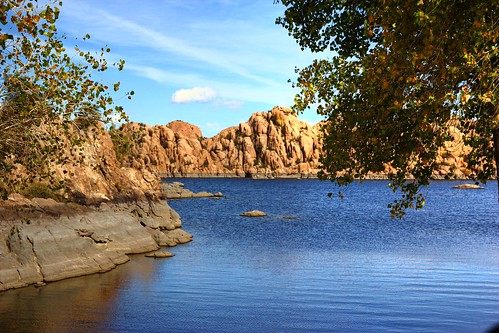
Watson Lake View
adelheidsphotography adelheidsmitt adelheidspictures america arizona prescott watsonlake dells granitedells usa unitedstates scenery sunset
Watson Lake, Arizona 1/4
landscape nature water lake rocks pano panorama lakewatson arizona prescott
WATSON, I PRESUME
arizona granitedells watsonlake arizonapassages monochrome bw blackandwhite allofarizonaphotography 2019 d7500 1000views
Granite Dells and Watson Lake, Arizona
prescott valley arizona phoenix christianhon268 flickr photography cannon recent field hay weat farm land beautiful thelord lord life love live bold colors sunsets sunrise night nationalgeographical nature lake
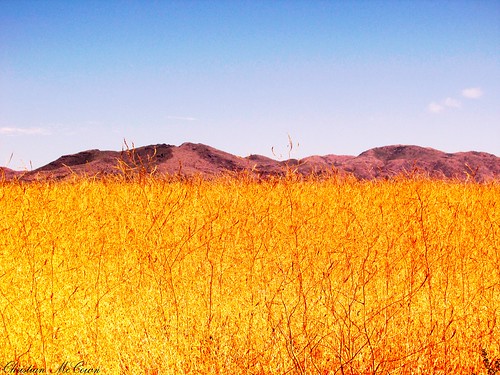
Circle of life Arizona
outdoors watsonlake granitedells lake solitary tree minimalistic arizona western southwest arizonapassages allofarizonaphotography
solitary in flooded waters
landscape lake arizona
All shapes and sizes
Prescott, AZ October 2018
trees autumn landscapes
Conversion confusion
landscapes lakes arizona rocks rock
Watson Lake in July 1
arizona clouds prescott sunset water willowlake colors dells reflection rocks southwest storm getoutthere modernoutdoors staywild tourtheplanet earthofficial naturephotography nature prescotttrails visitprescott explorarizona hiking beon12 azfamily capturearizona prescotttrailpics heyihadtosnapthat oharizona azliving cbs5az fox10phoenix azhiking abc15 arizonahighways igsouthwest instagramaz visitarizona arizonatoday azentral arizonasgorgeous arizonalandscapes instanature beautifulview scenicphotography landscape lightroom dji mavicpro
Willow Reflections
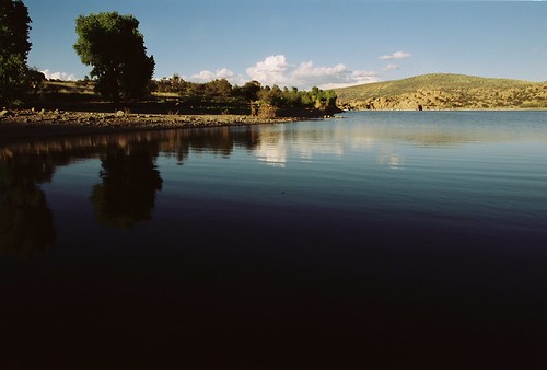
camera film canon eos watsonlake 1n
Canon film cameras
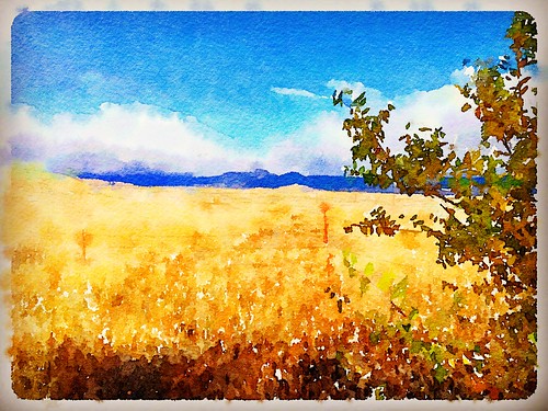
"Lonesome Valley Watercolor"
arizona landscapes lakes rocks iphone
Watson Lake (Explored)
landscapes lakes arizona rocks rock
Watson Lake in July 2 (BW)
bw fall2017 prescott sunset travel twilight explored
Layers of Meaning
arizona landscapes lakes rocks iphone
Watson Lake (Explored)
voyage travelling reise canon eos 6d canoneos6d canonef70200f4lusm ef 70200 f4l usm usa us united states america vereinigte staaten von amerika american southwest amerikanischer südwesten arizona watson lake watsonlake see granite dells prescott creek granit fels felsen rock rocks reservoir
Arizona - Watson Lake