Elevation of Preemption Township, IL, USA
Location: United States > Illinois > Mercer County >
Longitude: -90.6204165
Latitude: 41.2992666
Elevation: 245m / 804feet
Barometric Pressure: 0KPa
Related Photos:
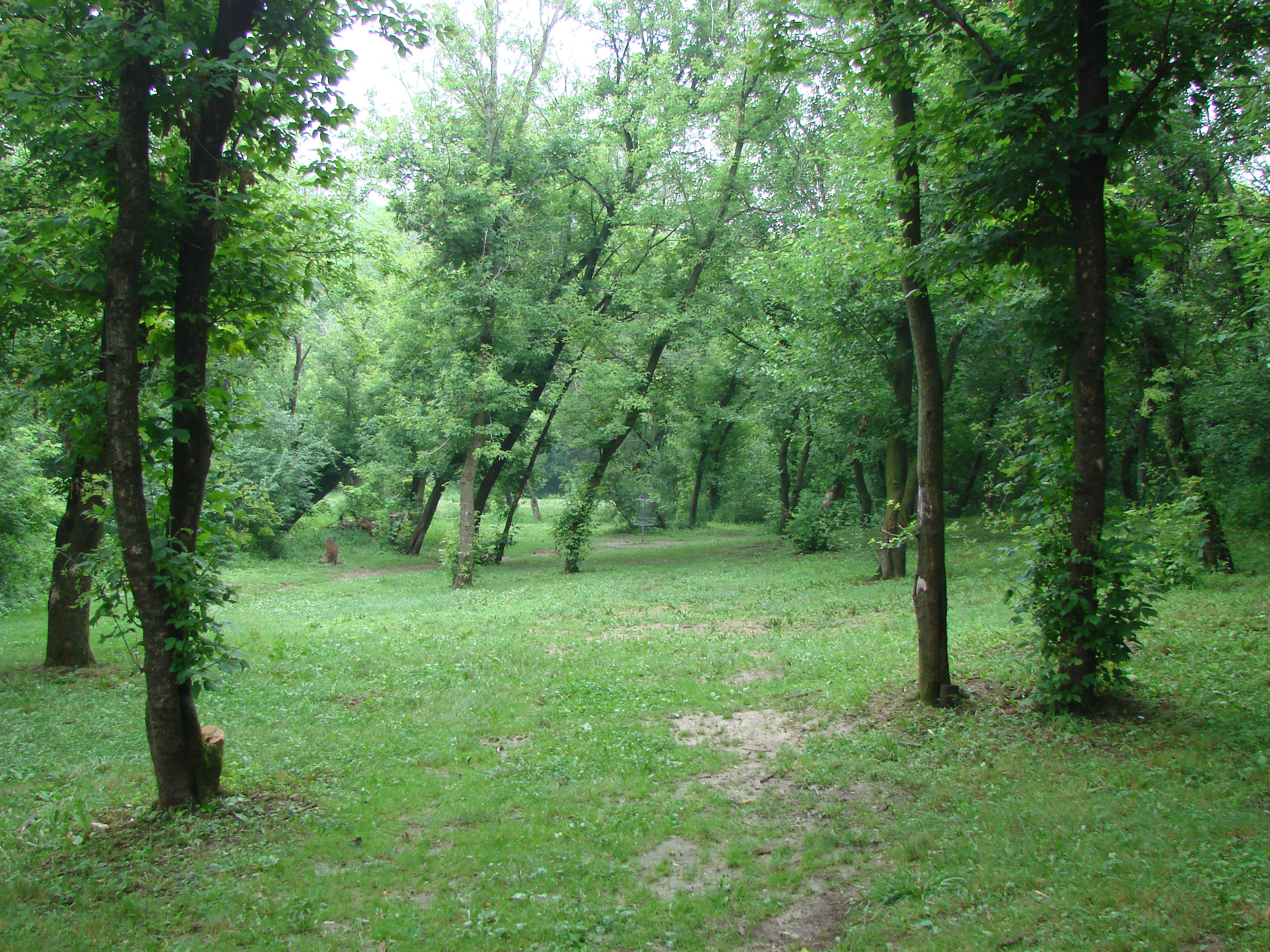
camden 12 view from tee
IMG_9658.JPG
Storm clouds

Rainbow barn-Lomoish effect
The Farm

St. Mary Monastery | Rock Island, IL | John Van Dyke - SSV
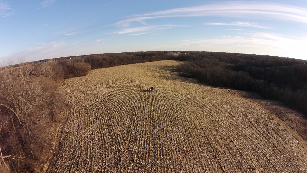
The back eighty
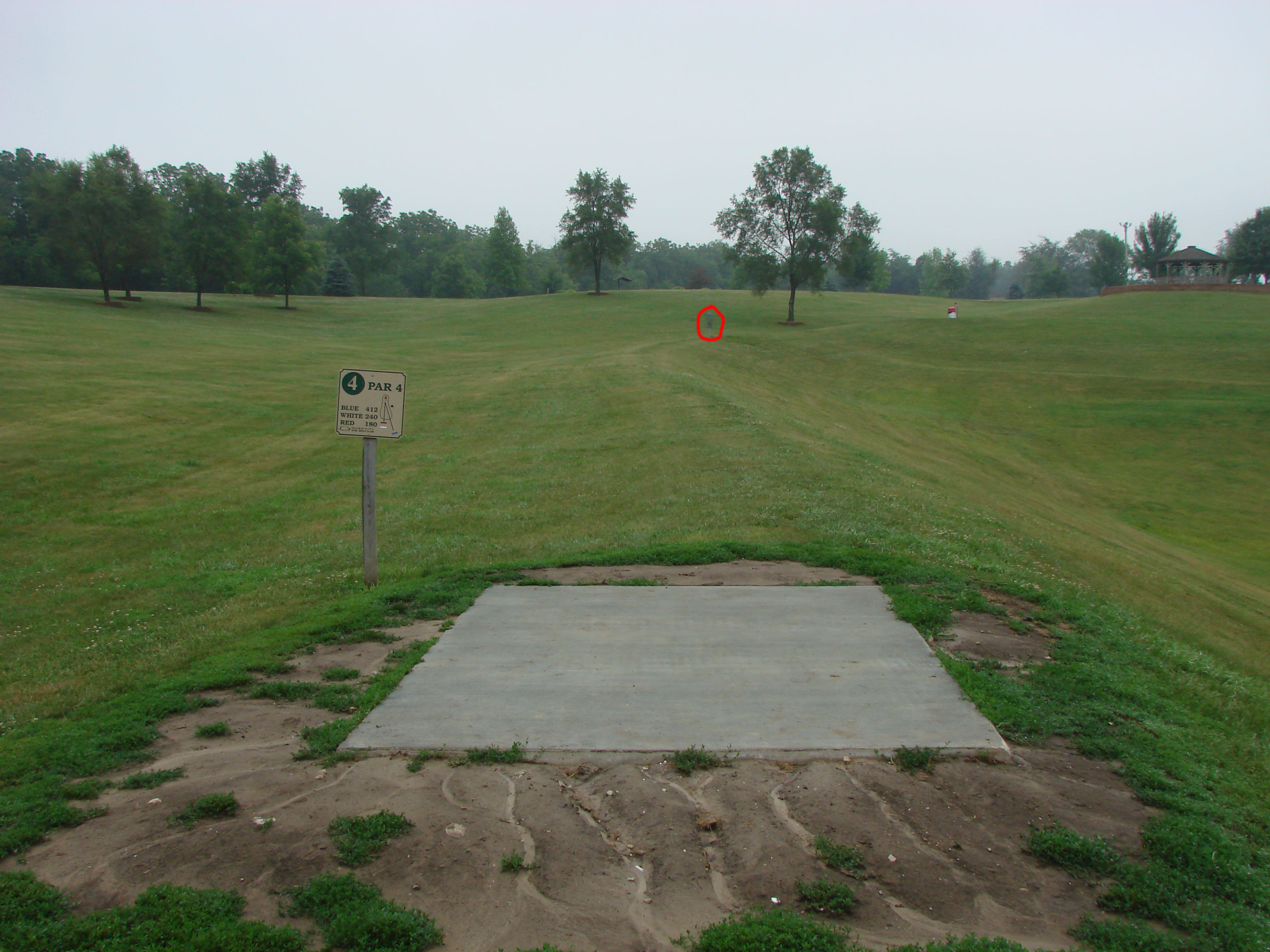
camden 4
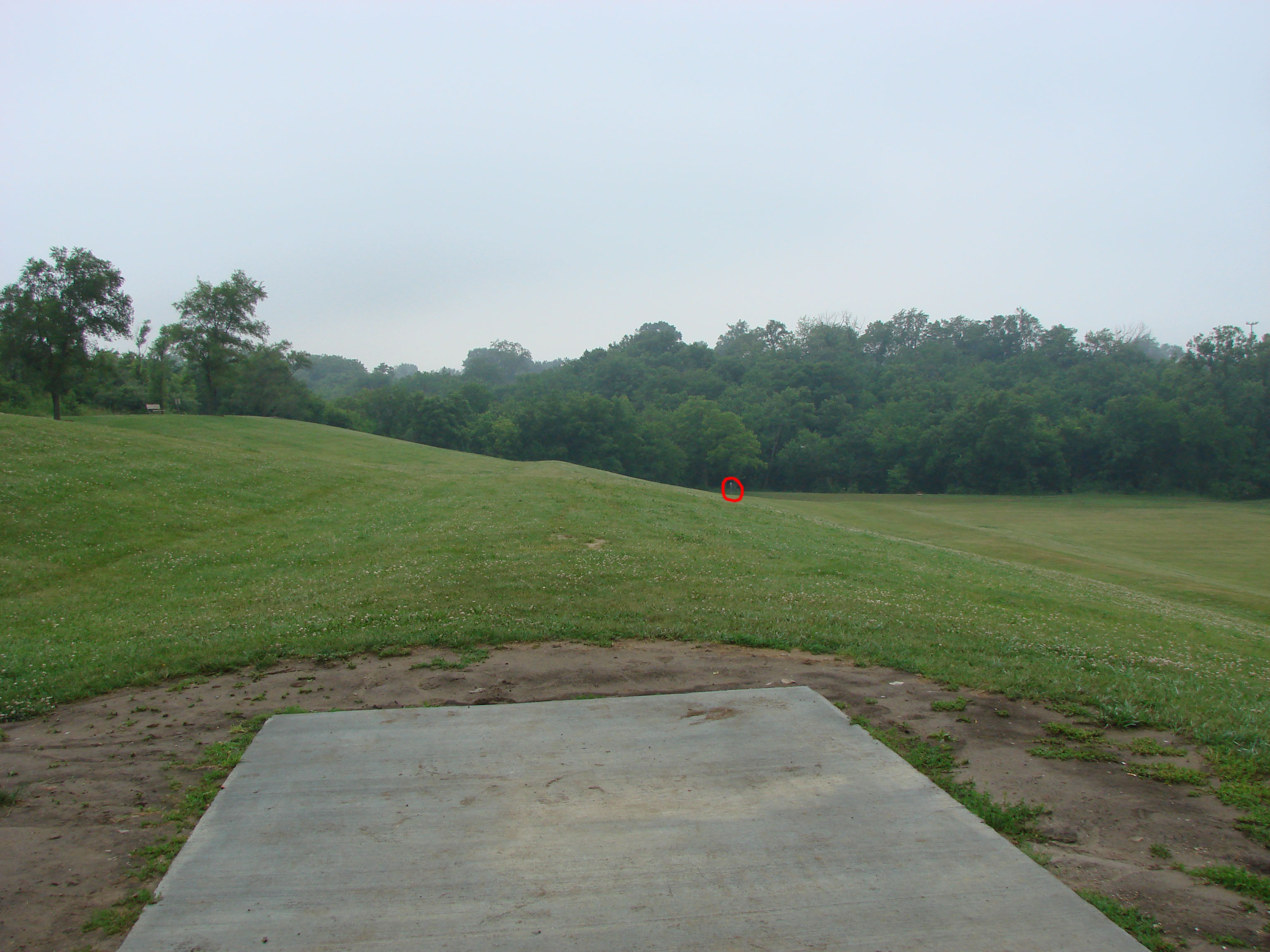
camden 5
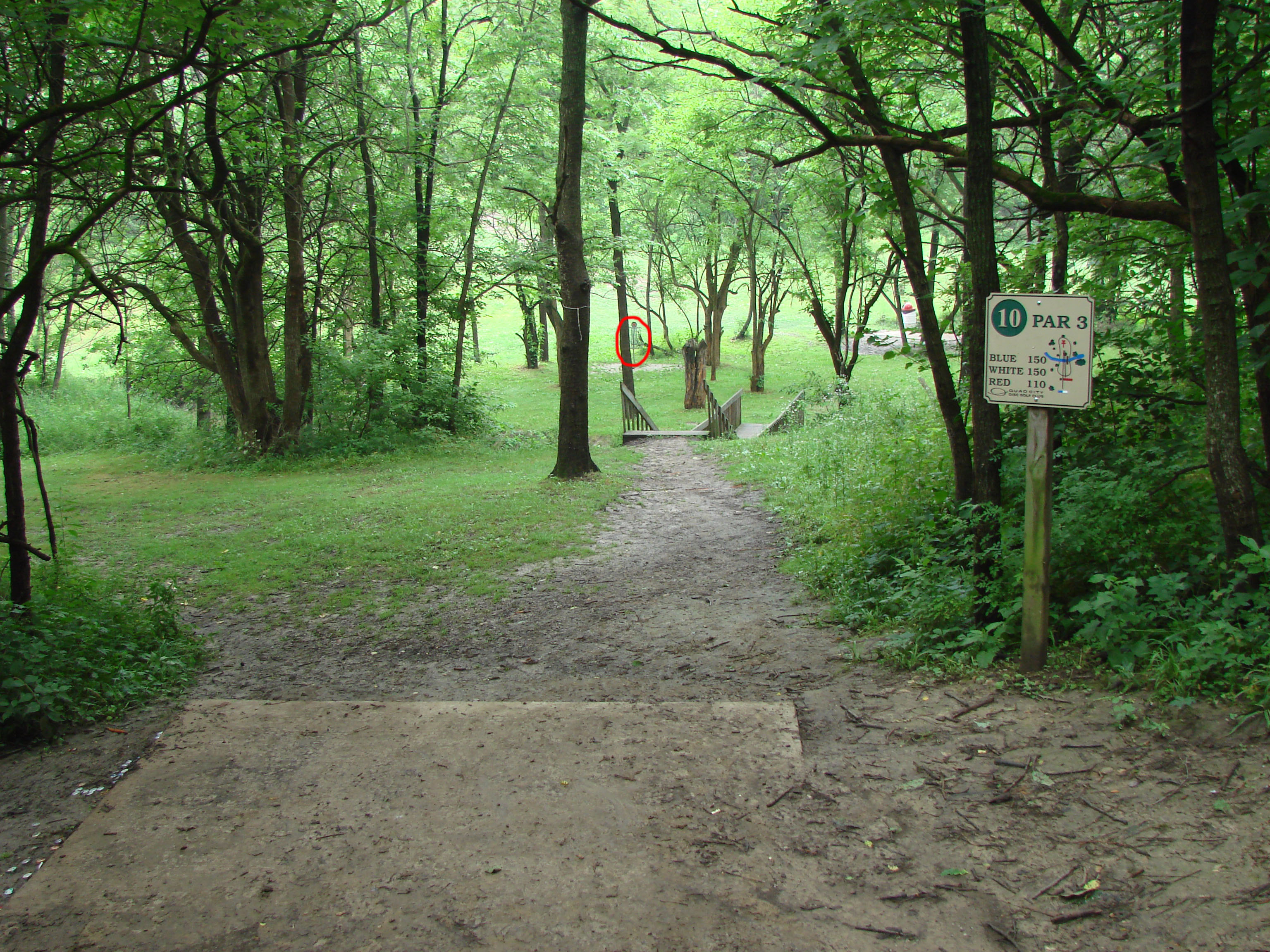
camden 10
camden 14 hole
Topographic Map of Preemption Township, IL, USA
Find elevation by address:

Places in Preemption Township, IL, USA:
Places near Preemption Township, IL, USA:
2nd St, Aledo, IL, USA
US-67, Aledo, IL, USA
th St, Aledo, IL, USA
IL-17, Viola, IL, USA
Viola
IL-17, Viola, IL, USA
Richland Grove Township
Mercer County
Greene Township
642 Suncrest Ct
Rivoli Township
Knoxville Rd, Sherrard, IL, USA
Windsor
Main St, Windsor, IL, USA
Lynn Township
Oxford Township
Lynn Center
South St, Lynn Center, IL, USA
Alpha
N 1st St, Alpha, IL, USA
Recent Searches:
- Elevation map of Greenland, Greenland
- Elevation of Sullivan Hill, New York, New York, 10002, USA
- Elevation of Morehead Road, Withrow Downs, Charlotte, Mecklenburg County, North Carolina, 28262, USA
- Elevation of 2800, Morehead Road, Withrow Downs, Charlotte, Mecklenburg County, North Carolina, 28262, USA
- Elevation of Yangbi Yi Autonomous County, Yunnan, China
- Elevation of Pingpo, Yangbi Yi Autonomous County, Yunnan, China
- Elevation of Mount Malong, Pingpo, Yangbi Yi Autonomous County, Yunnan, China
- Elevation map of Yongping County, Yunnan, China
- Elevation of North 8th Street, Palatka, Putnam County, Florida, 32177, USA
- Elevation of 107, Big Apple Road, East Palatka, Putnam County, Florida, 32131, USA
- Elevation of Jiezi, Chongzhou City, Sichuan, China
- Elevation of Chongzhou City, Sichuan, China
- Elevation of Huaiyuan, Chongzhou City, Sichuan, China
- Elevation of Qingxia, Chengdu, Sichuan, China
- Elevation of Corso Fratelli Cairoli, 35, Macerata MC, Italy
- Elevation of Tallevast Rd, Sarasota, FL, USA
- Elevation of 4th St E, Sonoma, CA, USA
- Elevation of Black Hollow Rd, Pennsdale, PA, USA
- Elevation of Oakland Ave, Williamsport, PA, USA
- Elevation of Pedrógão Grande, Portugal