Elevation of Prantij Bus Station, Prantij, Gujarat, India
Location: India > Gujarat > Sabarkatha > Prantij >
Longitude: 72.8572337
Latitude: 23.4354433
Elevation: 116m / 381feet
Barometric Pressure: 100KPa
Elevation Map:
Satellite Map:
Related Photos:

#Mahudi #Jain #temple
Goooopallllllllll raaaazzzzzz
Bird feeder.
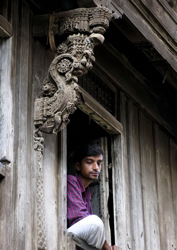
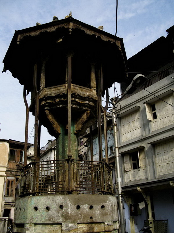
An ancient pillar and a man
Topographic Map of Prantij Bus Station, Prantij, Gujarat, India
Find elevation by address:

Places near Prantij Bus Station, Prantij, Gujarat, India:
Prantij
Salal
Moyad
Amarnath Mandir Temple
Amarapur
Vijapur
Himatnagar Polytechnic College
Sahakari Jin
Dolarana Vasna
Himmatnagar
Chiloda
Gandhinagar
Gandhinagar
Sector 6
Indroda Nature Park
Gujarat International Finance Tec-city
Dada Bhagwan Foundation
Adalaj
Kalol
Hansol
Recent Searches:
- Elevation of Corso Fratelli Cairoli, 35, Macerata MC, Italy
- Elevation of Tallevast Rd, Sarasota, FL, USA
- Elevation of 4th St E, Sonoma, CA, USA
- Elevation of Black Hollow Rd, Pennsdale, PA, USA
- Elevation of Oakland Ave, Williamsport, PA, USA
- Elevation of Pedrógão Grande, Portugal
- Elevation of Klee Dr, Martinsburg, WV, USA
- Elevation of Via Roma, Pieranica CR, Italy
- Elevation of Tavkvetili Mountain, Georgia
- Elevation of Hartfords Bluff Cir, Mt Pleasant, SC, USA