Elevation of Prairie Center Township, SD, USA
Location: United States > South Dakota > Clay County >
Longitude: -96.856542
Latitude: 42.8726485
Elevation: 372m / 1220feet
Barometric Pressure: 97KPa
Elevation Map:
Satellite Map:
Related Photos:
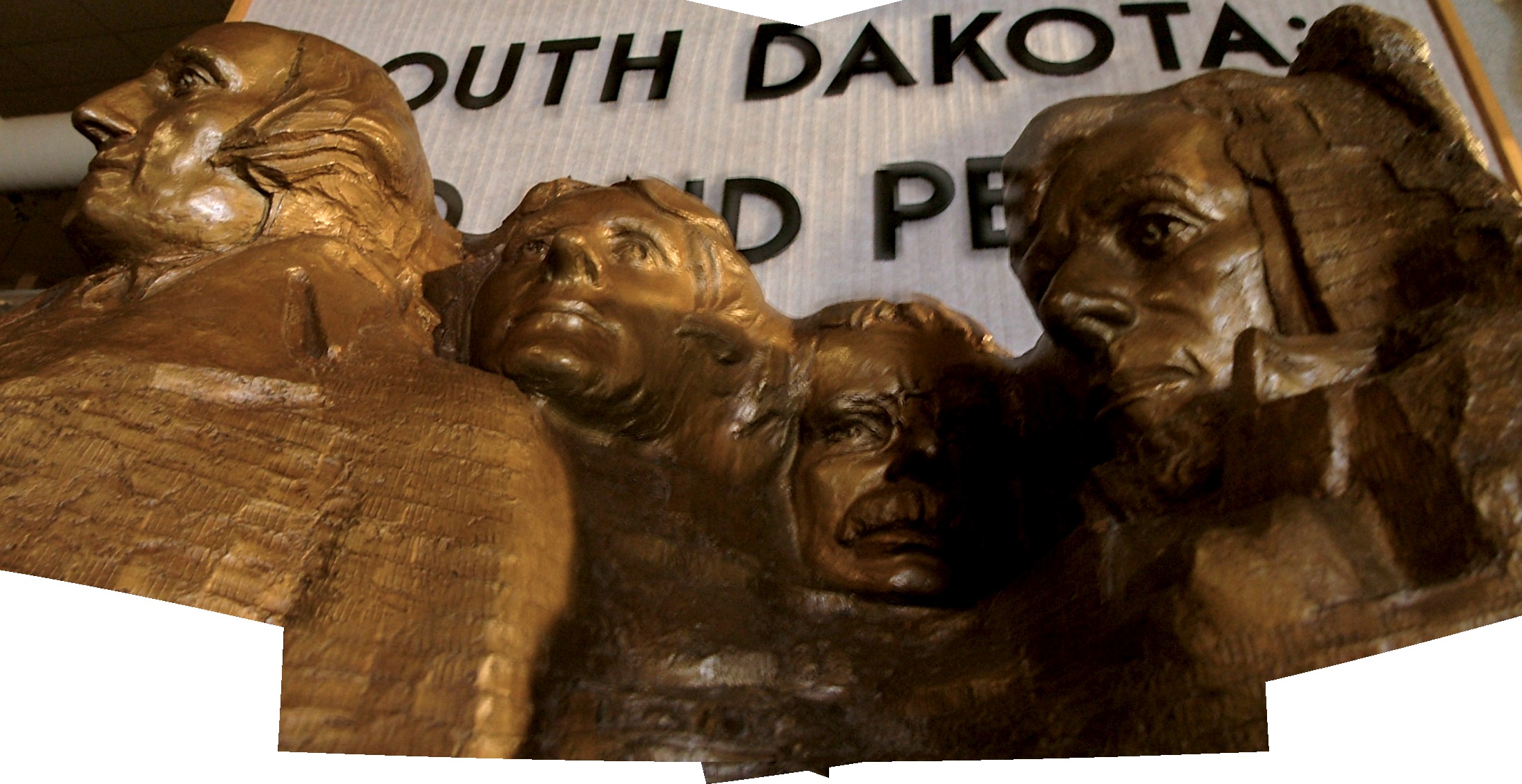
Bronze Mount Rushmore 01
Bronze reproduction of Mount Rushmore
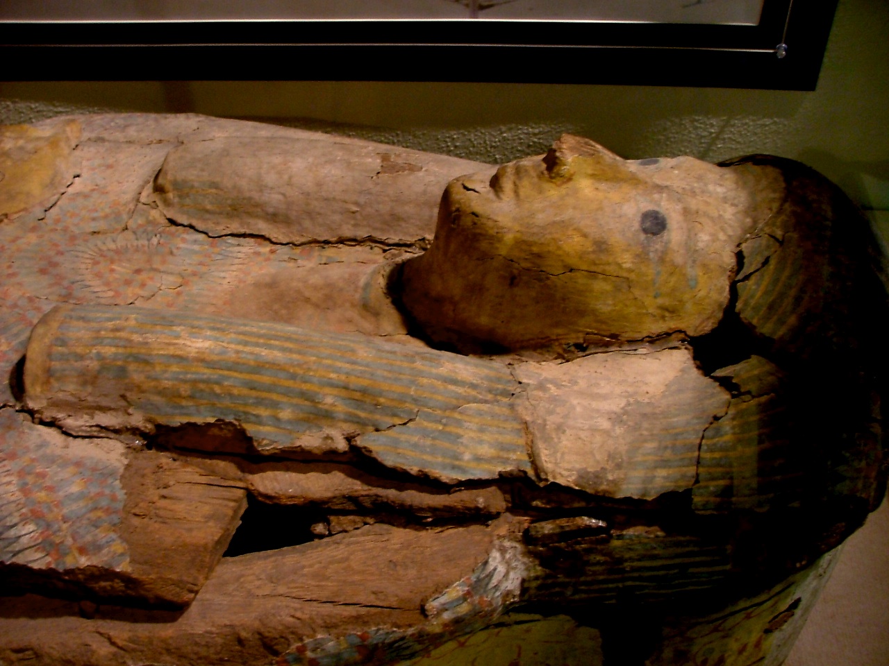
Ancient Egyptian Coffin

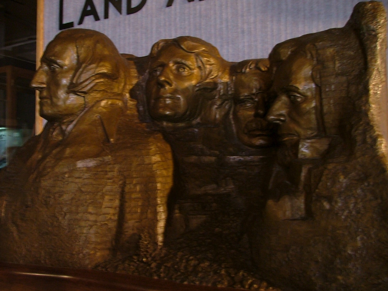
Mount Rushmore reproduction
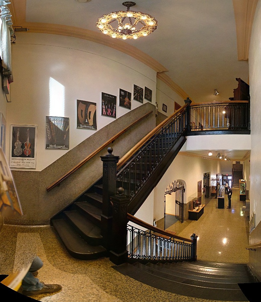
The west staircase at the Shrine to Music
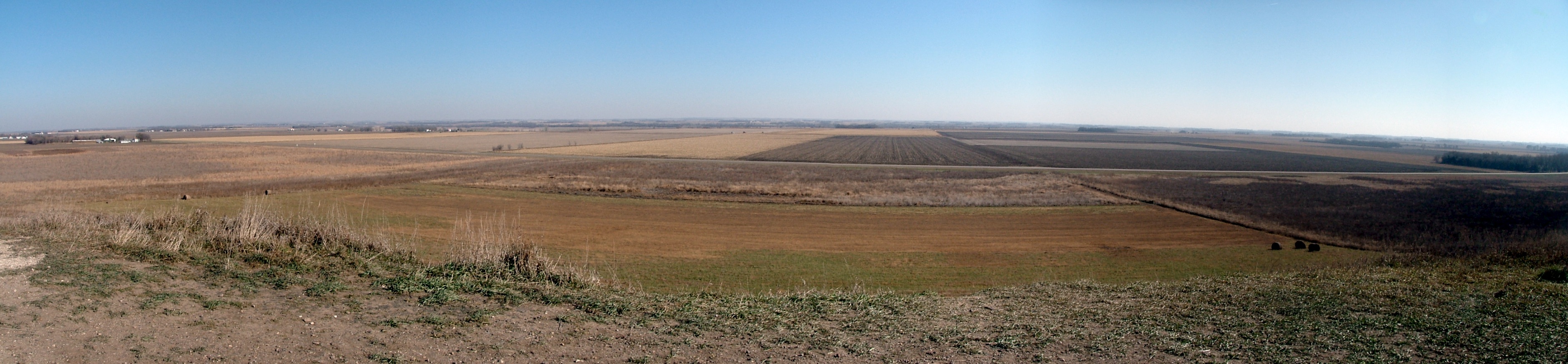
The view from the summit of Spirit Mound

Lunch menu #18
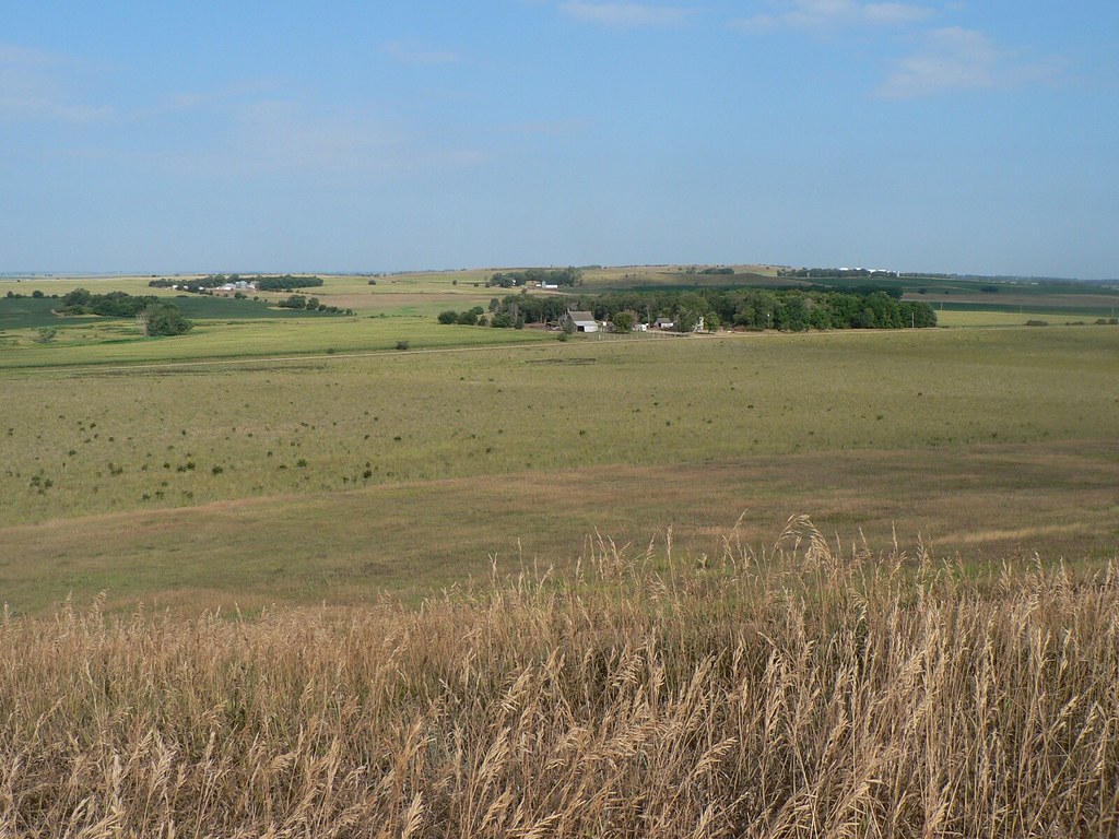
view from Spirit Mound
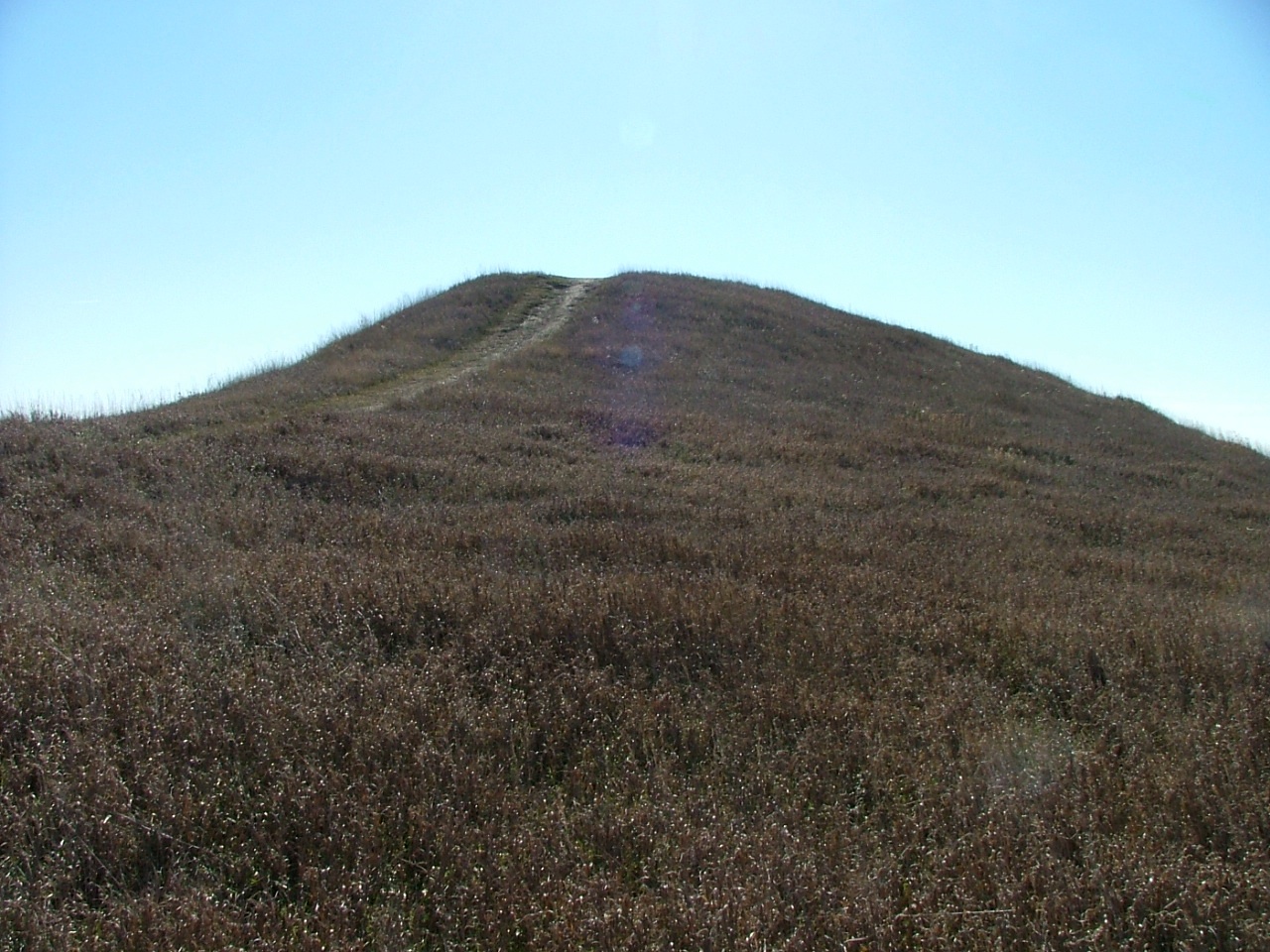
Spirit Mound summit
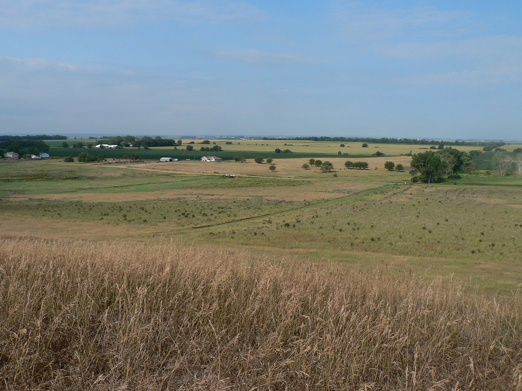
view from Spirit Mound
Biking 004
Biking 010
Biking 009

Cosmo flower @ my friends home
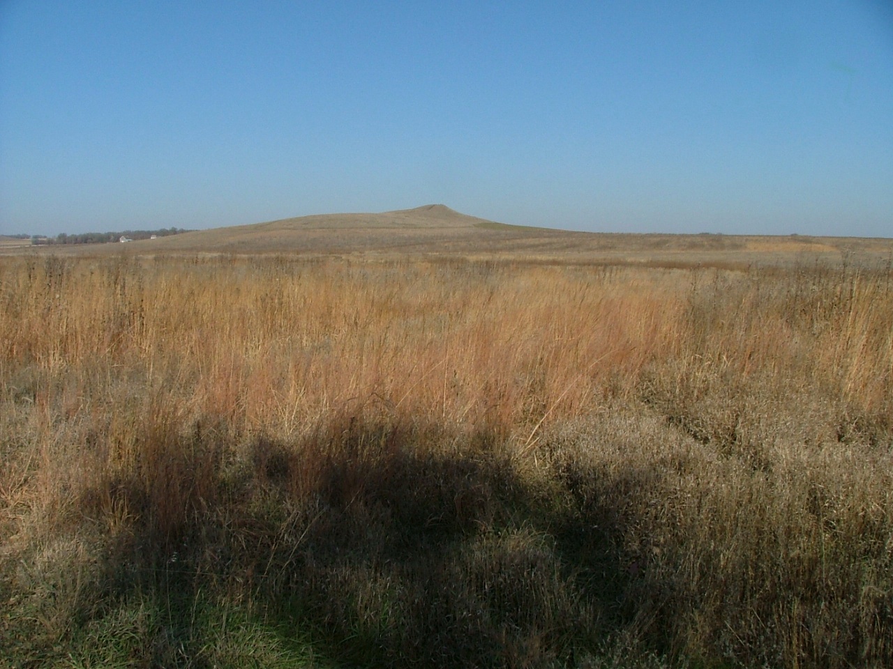
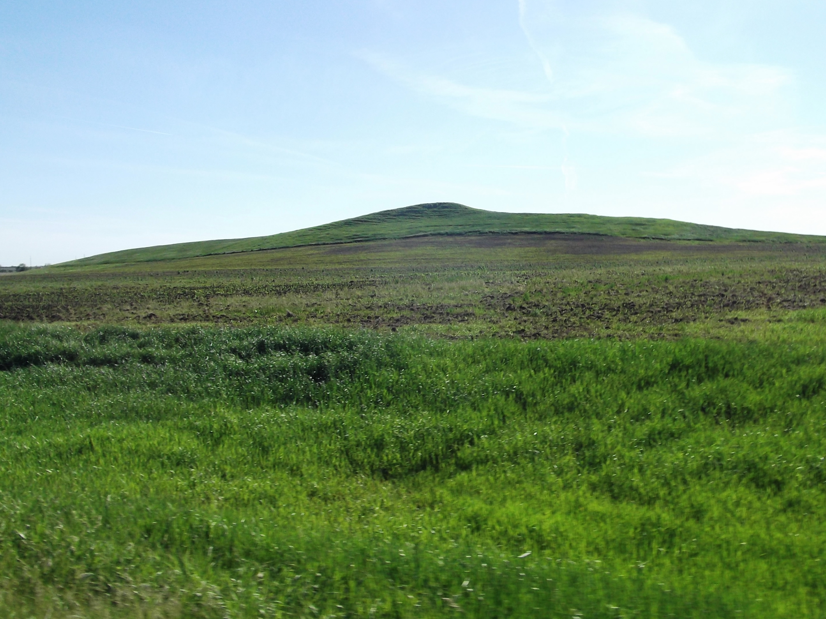
Spirit Mound on the horizon
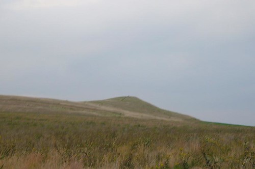
Spirit Mound
Hub City, South Dakota
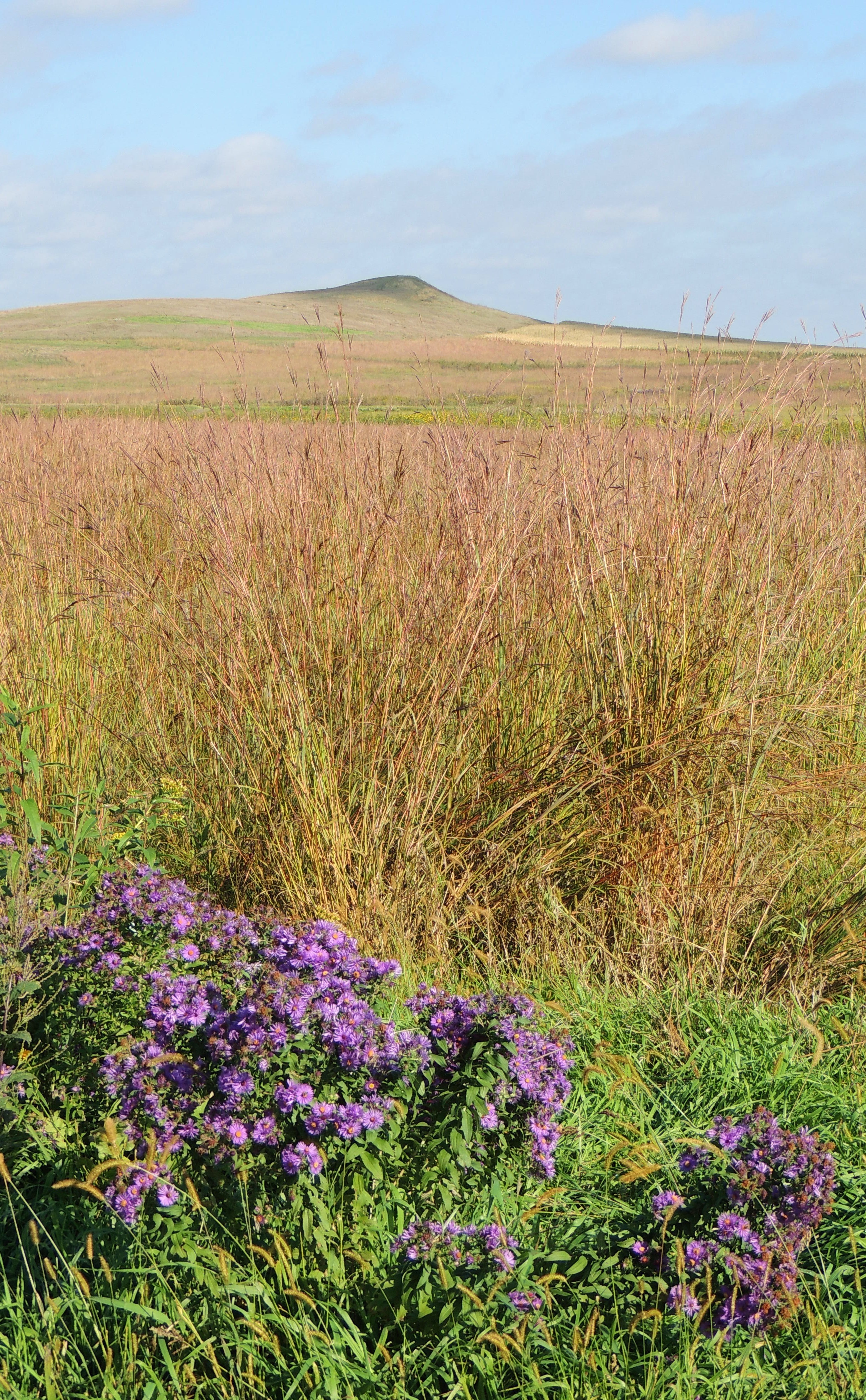
Spirit Mound
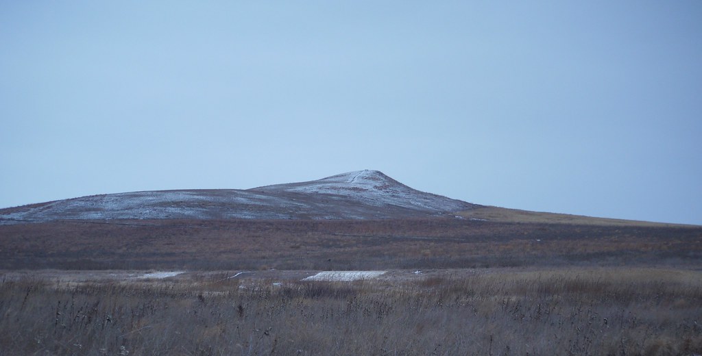
spirit mound
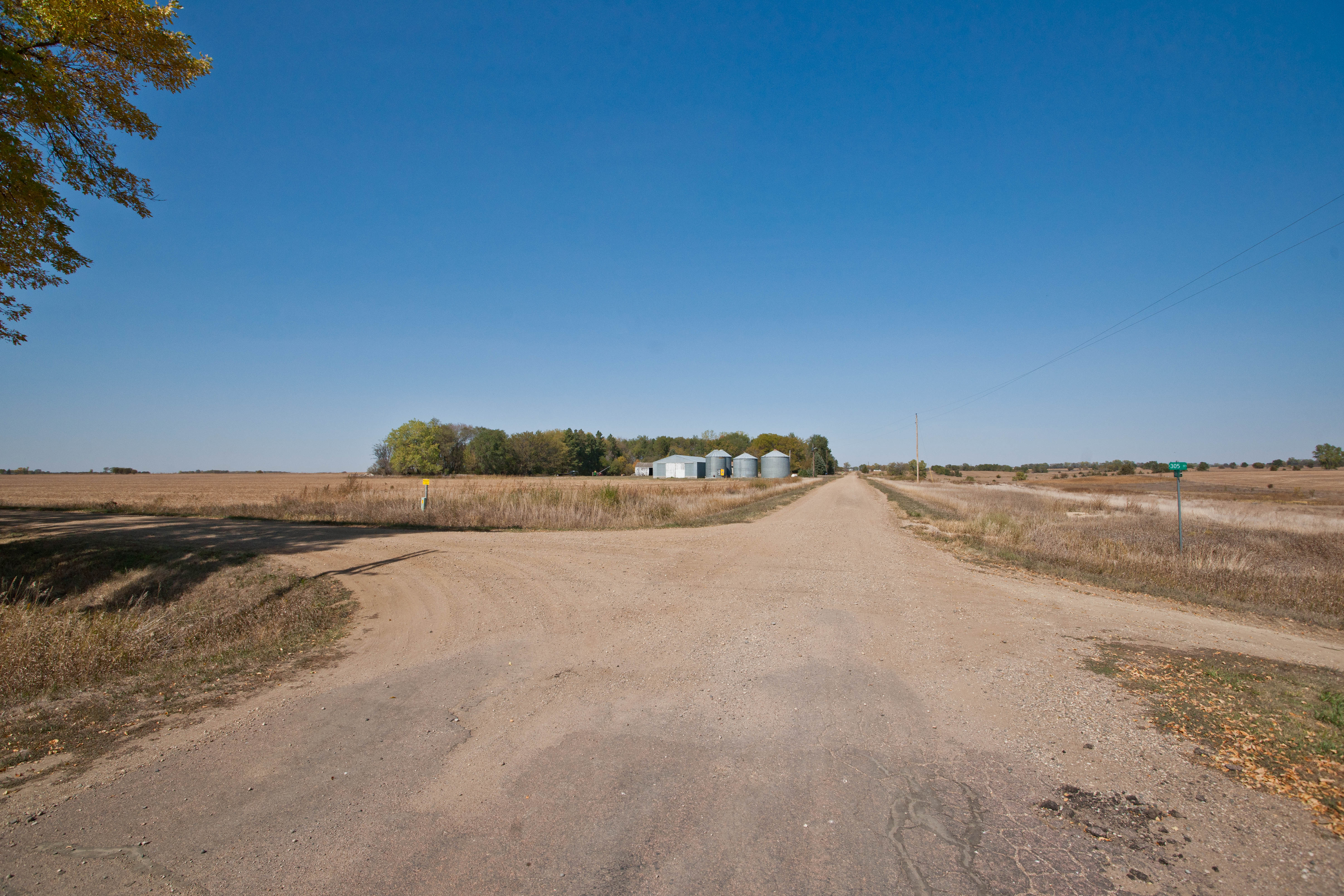
Dalesburg, South Dakota
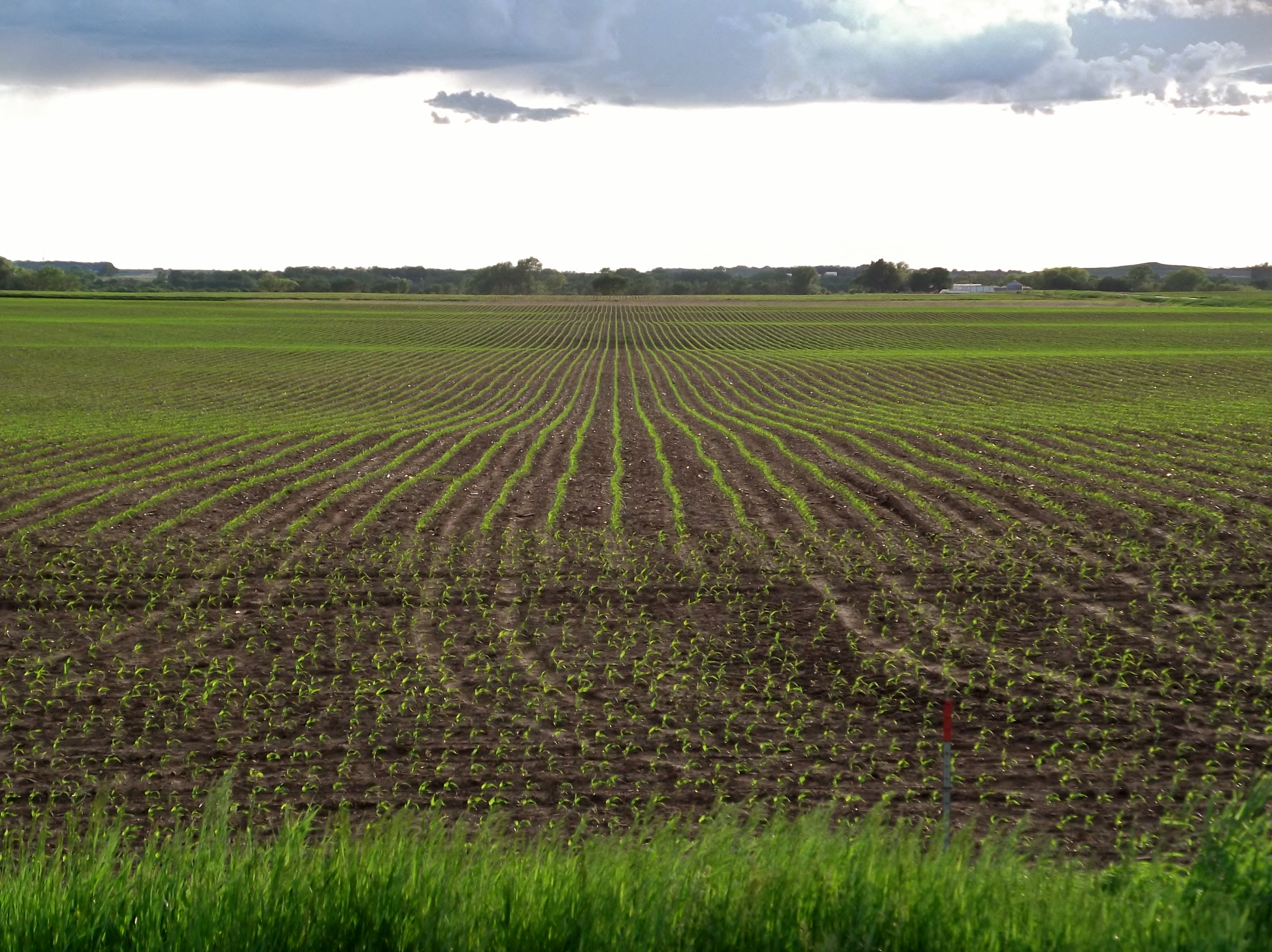
2013-05-29 65 Mile 005

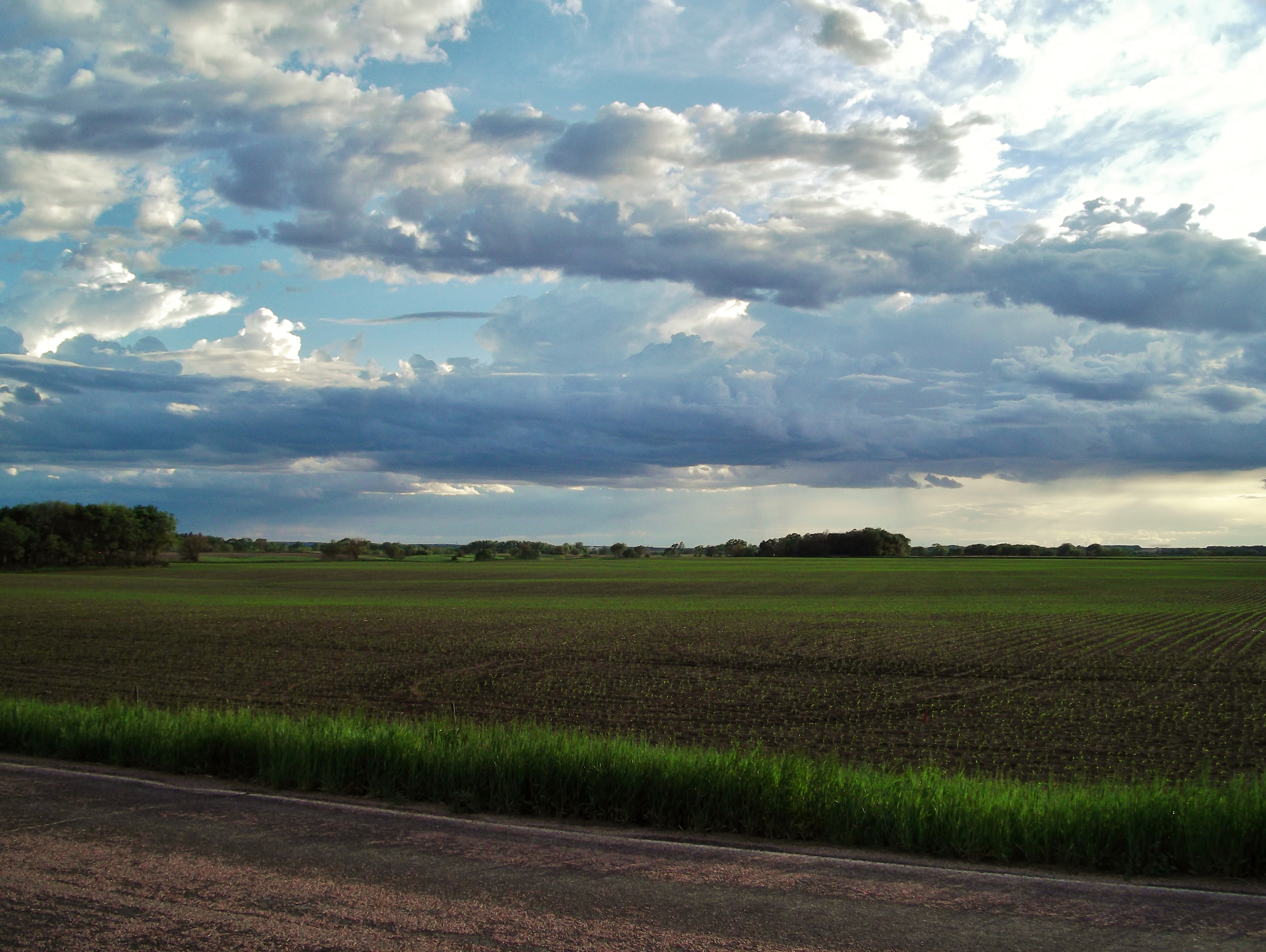
Rain west of Alcester!

The Landscaping of America
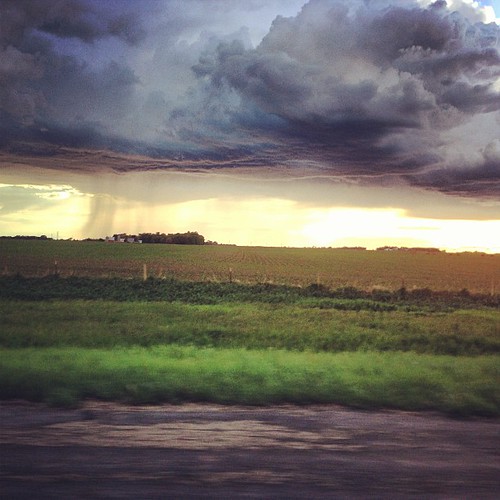
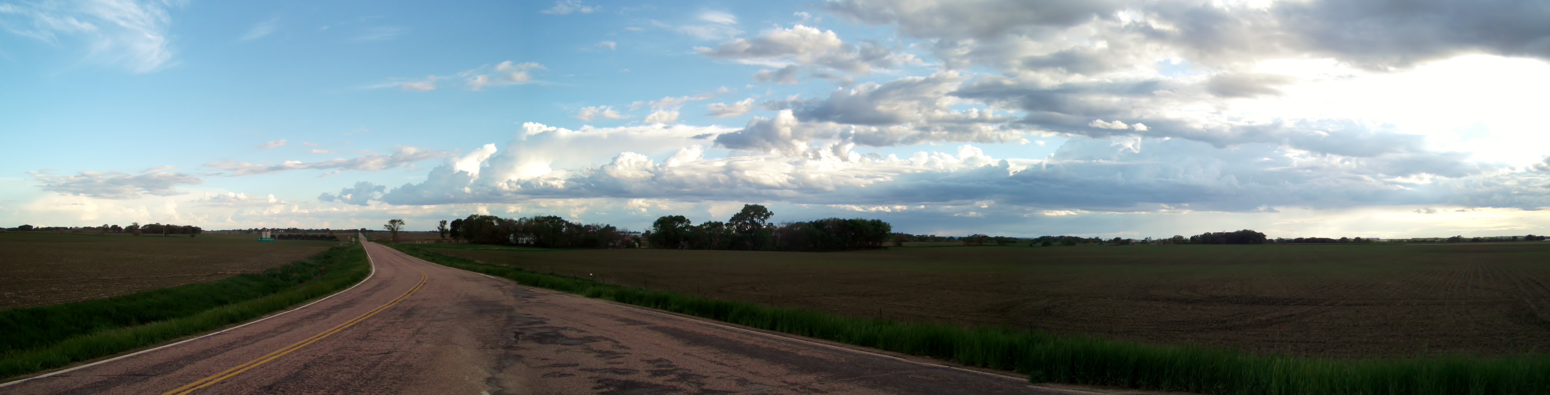
Rain cloud over Clay County
img_2180.jpg
Midway, South Dakota
Alsen, South Dakota

Beresford, South Dakota
Topographic Map of Prairie Center Township, SD, USA
Find elevation by address:

Places in Prairie Center Township, SD, USA:
Places near Prairie Center Township, SD, USA:
Greenfield Rd, Burbank, SD, USA
University Of South Dakota
E Main St, Vermillion, SD, USA
Vermillion
Brunick Service
Spink Township
Union County
Clay County
Beresford
211 E Jefferson St
Elk Point
110 Cedar Ct
104 Spruce Ct
608 E Washington St
Broadway St, Centerville, SD, USA
402 Ofstad St
Centerville
Alcester
E 1st St, Alcester, SD, USA
19001 Ia-12
Recent Searches:
- Elevation of Corso Fratelli Cairoli, 35, Macerata MC, Italy
- Elevation of Tallevast Rd, Sarasota, FL, USA
- Elevation of 4th St E, Sonoma, CA, USA
- Elevation of Black Hollow Rd, Pennsdale, PA, USA
- Elevation of Oakland Ave, Williamsport, PA, USA
- Elevation of Pedrógão Grande, Portugal
- Elevation of Klee Dr, Martinsburg, WV, USA
- Elevation of Via Roma, Pieranica CR, Italy
- Elevation of Tavkvetili Mountain, Georgia
- Elevation of Hartfords Bluff Cir, Mt Pleasant, SC, USA