Elevation of PR 37, Lakehills, TX, USA
Location: United States > Texas > Bandera County > Lakehills >
Longitude: -98.957193
Latitude: 29.5679005
Elevation: 330m / 1083feet
Barometric Pressure: 97KPa
Elevation Map:
Satellite Map:
Related Photos:

IMG_0706 - Fish Eye View

Steve & Kathy Mccombs
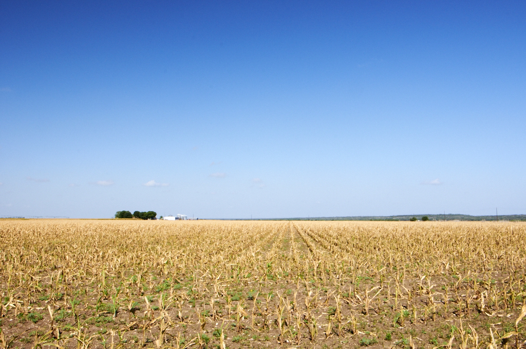
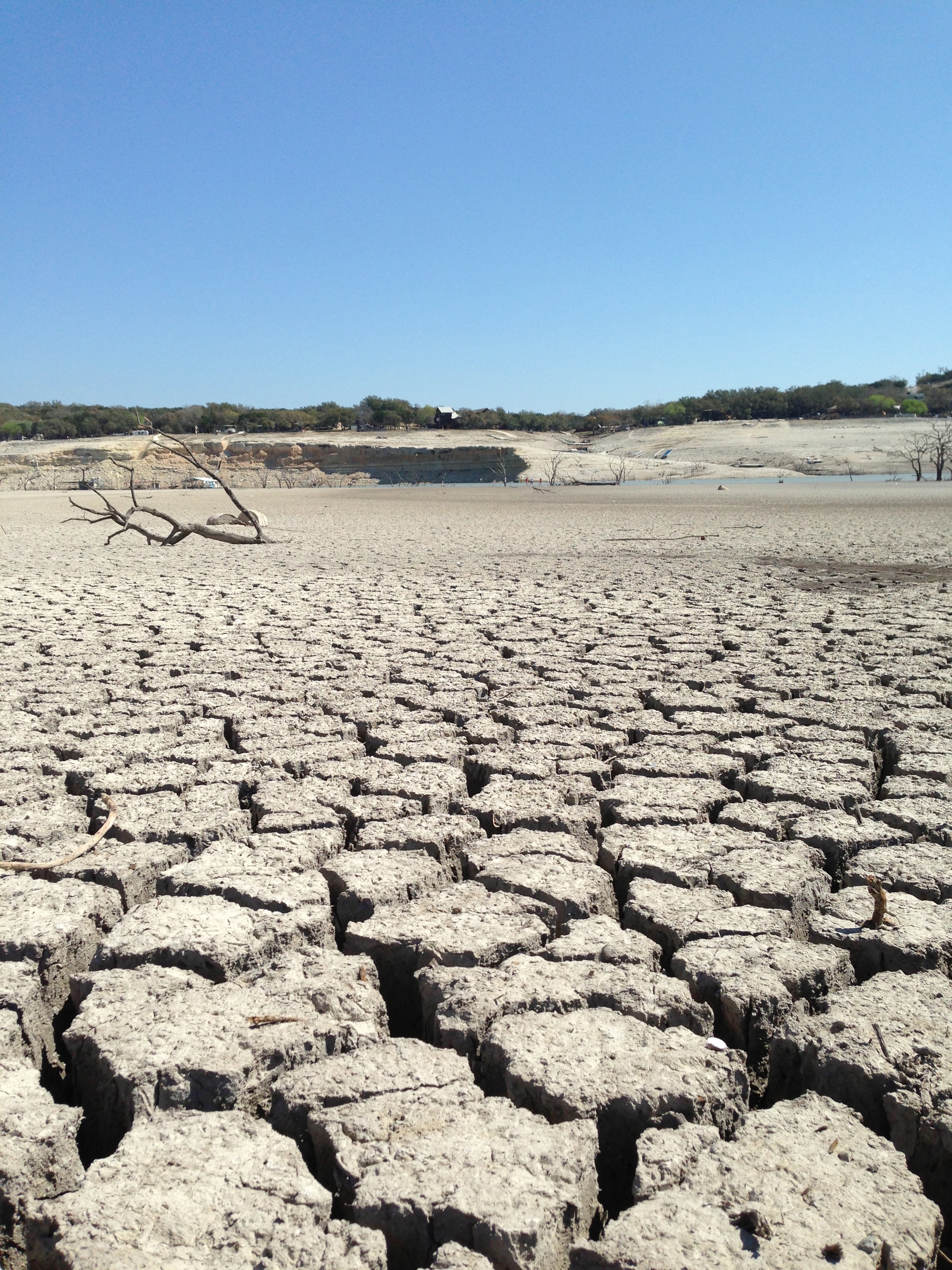
Dry Corn

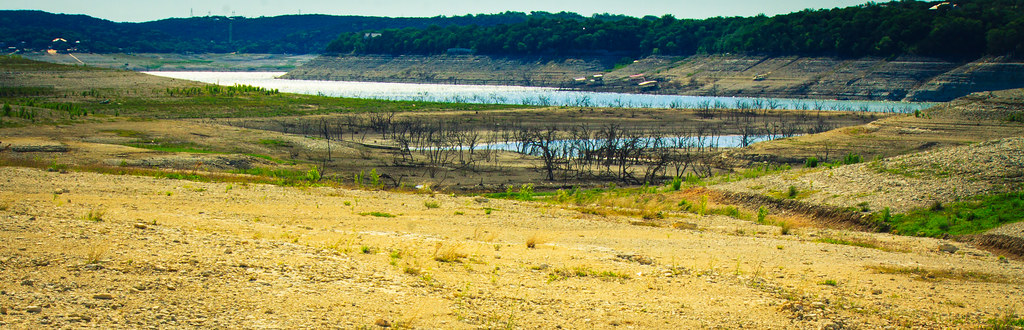
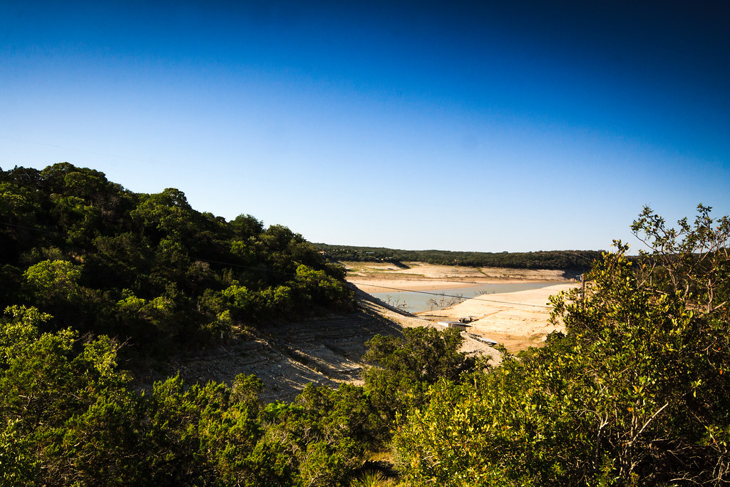
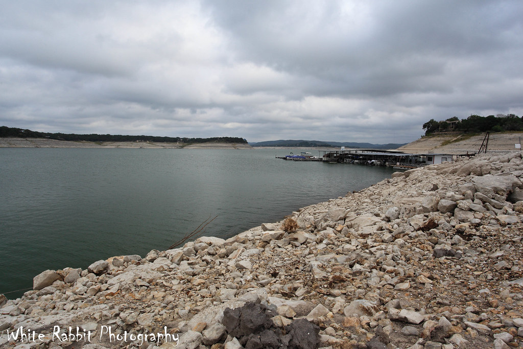
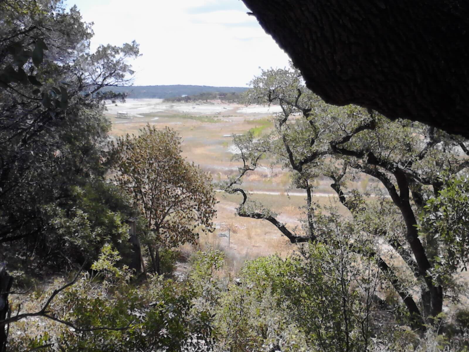
Medina Lake

Steve & Kathy Mccombs

Steve & Kathy Mccombs

Andys Vineyard

Steve & Kathy Mccombs

Front Door View
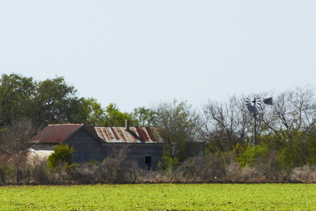
Old Farm House

8 minutes old

View from South Podre Island

Little Sun

Andys Vineyard

Andys Vineyard
Steve & Kathy Mccombs
A Fine Dam View (4)

Light Pole

Karoke at the dancing bear.
A Fine Dam View (1)

Heavy and Light

Dry Dock

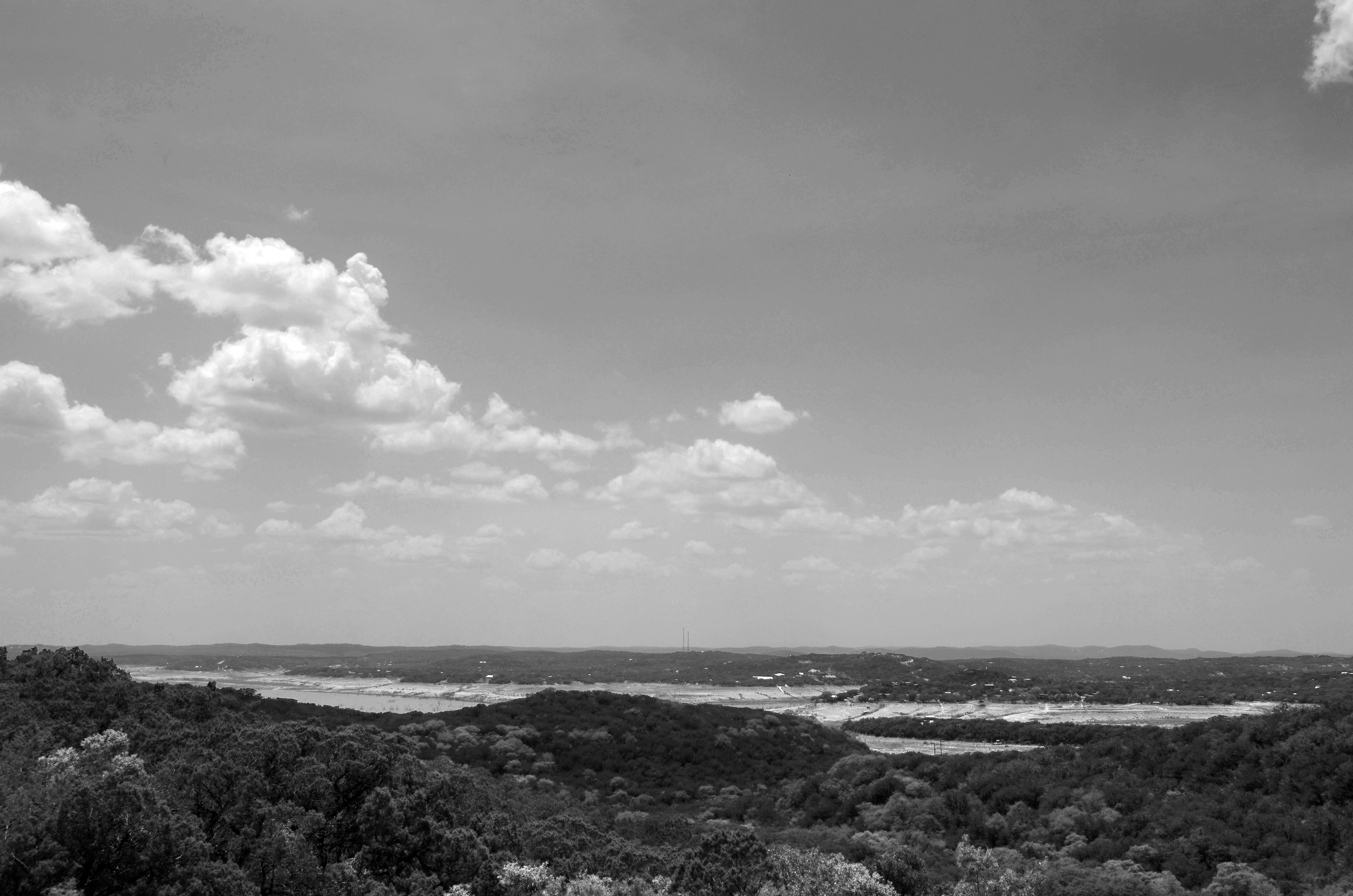
Medina Lake, Texas

Mico, Texas

DSC_4881.jpg

DSC_4538.jpg
Medina Lake-3
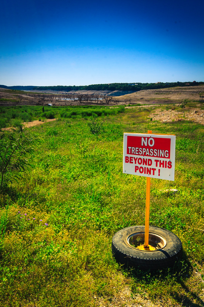
No Trespassing
Medina Lake-1
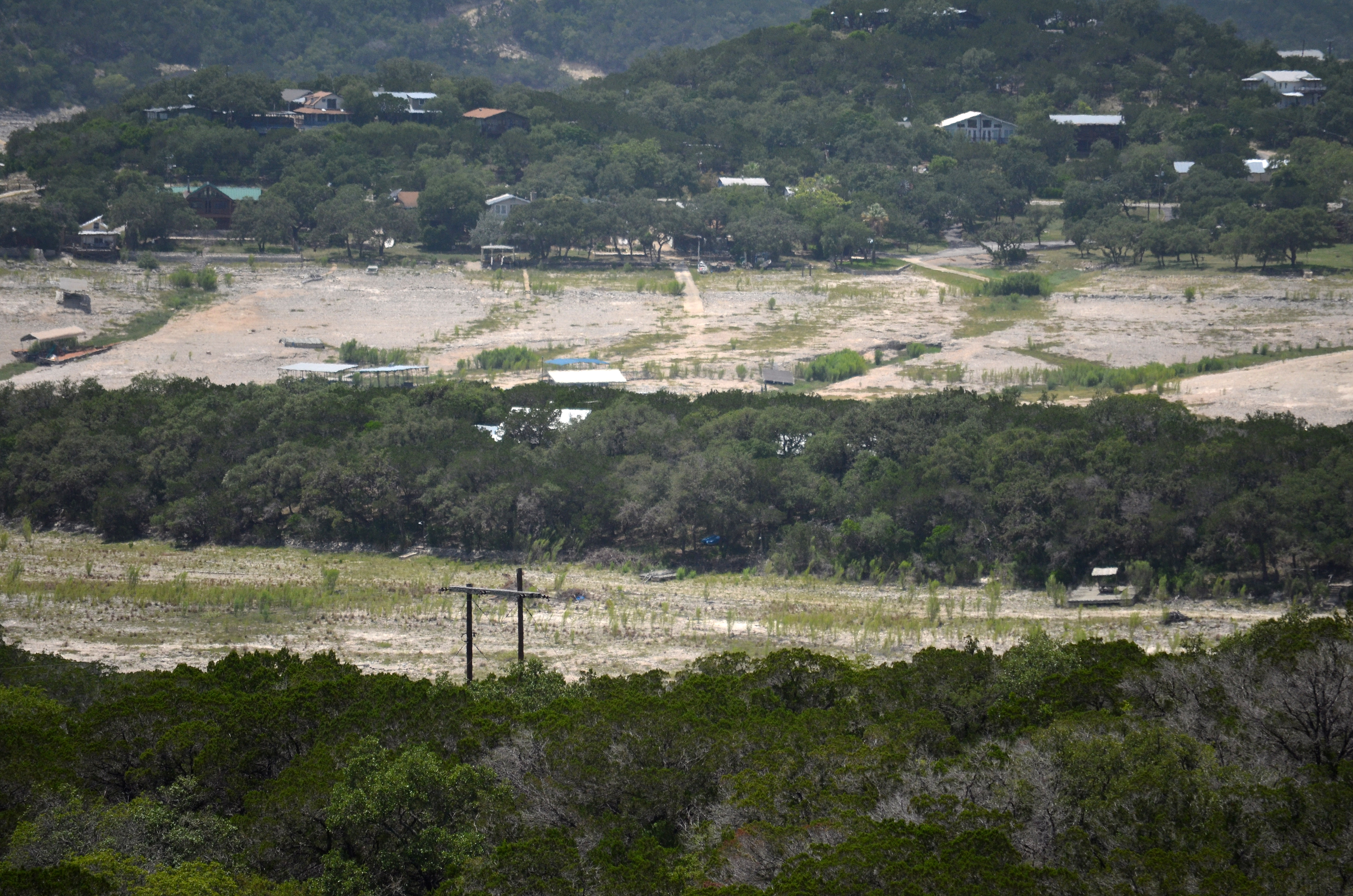
Medina Lake
Medina Lake - 2.0
DSC_4015.jpg
Eggy's Best Friend (2)

Medina Lake - 2.5
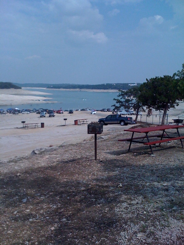
photo.jpg
Medina Lake

Medina Lake-5

Keeping A Lookout
Medina Lake
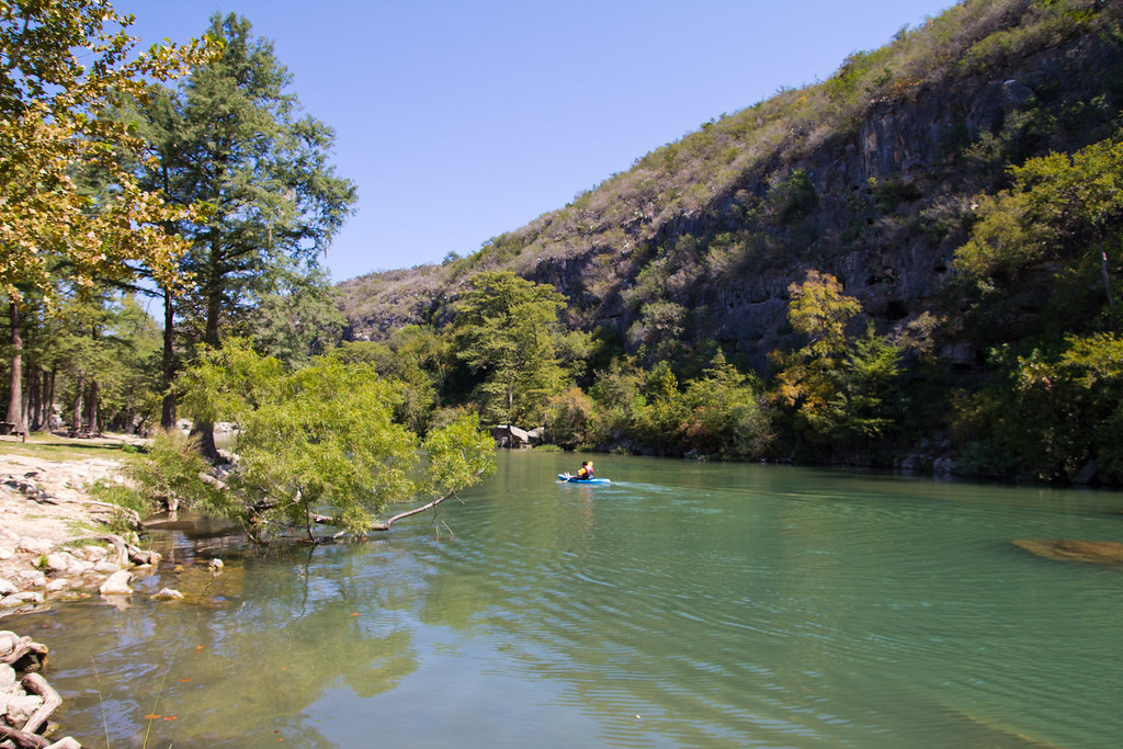
Paradise Canyon
Topographic Map of PR 37, Lakehills, TX, USA
Find elevation by address:

Places near PR 37, Lakehills, TX, USA:
184 Cedar Dr
217 Seminole Trl
12478 Pr 37
PR 37, Lakehills, TX, USA
Medina Lake
277 Edward Pkwy
451 Co Rd 264
Lakehills
Mico
Co Rd, Mico, TX, USA
350 Co Rd 2700
1130 Lakeshore Dr N
1130 Lakeshore Dr N
West Pr 1739
397 Co Rd 2744
205 Co Rd 2744
Texas 173
572 View Ridge Rd
763 Comanche Path
3000 Timbercreek Rd
Recent Searches:
- Elevation of Corso Fratelli Cairoli, 35, Macerata MC, Italy
- Elevation of Tallevast Rd, Sarasota, FL, USA
- Elevation of 4th St E, Sonoma, CA, USA
- Elevation of Black Hollow Rd, Pennsdale, PA, USA
- Elevation of Oakland Ave, Williamsport, PA, USA
- Elevation of Pedrógão Grande, Portugal
- Elevation of Klee Dr, Martinsburg, WV, USA
- Elevation of Via Roma, Pieranica CR, Italy
- Elevation of Tavkvetili Mountain, Georgia
- Elevation of Hartfords Bluff Cir, Mt Pleasant, SC, USA