Elevation of Powells Tavern Pl, Herndon, VA, USA
Location: United States > Virginia > Fairfax County > Dranesville > Herndon >
Longitude: -77.388671
Latitude: 38.9964194
Elevation: 115m / 377feet
Barometric Pressure: 100KPa
Elevation Map:
Satellite Map:
Related Photos:

End of the day - Great Falls National Park
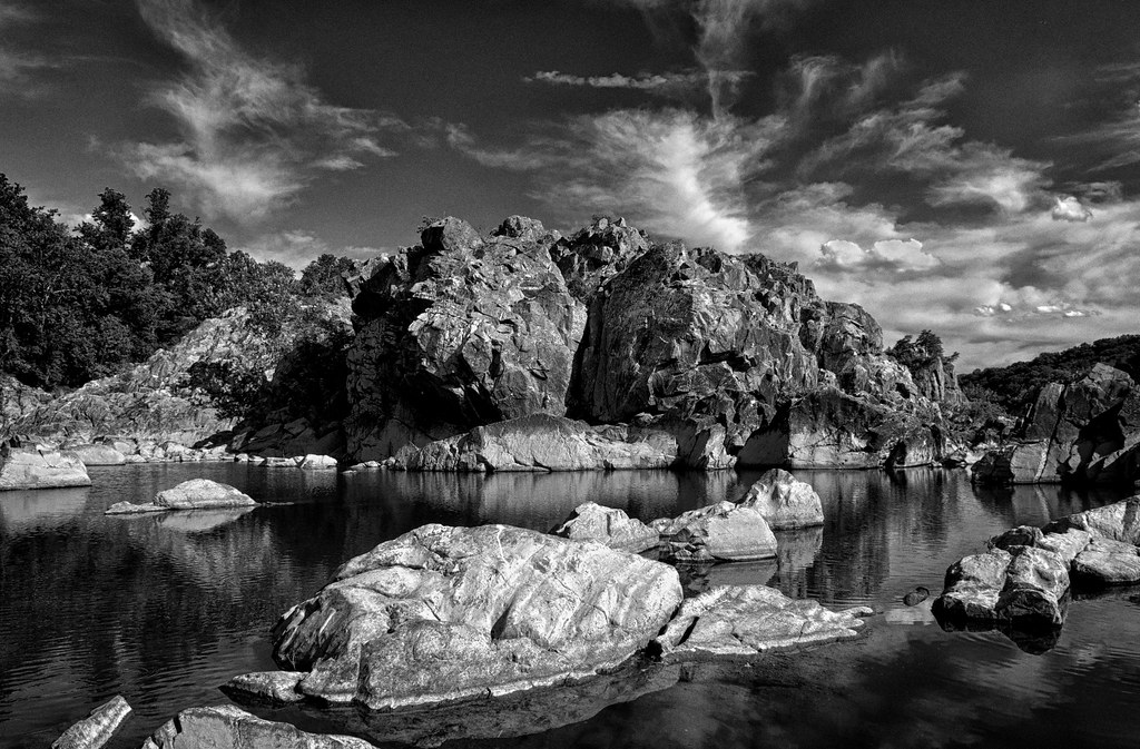
Rock Formation At Great Falls, MD

Dranesville Tavern
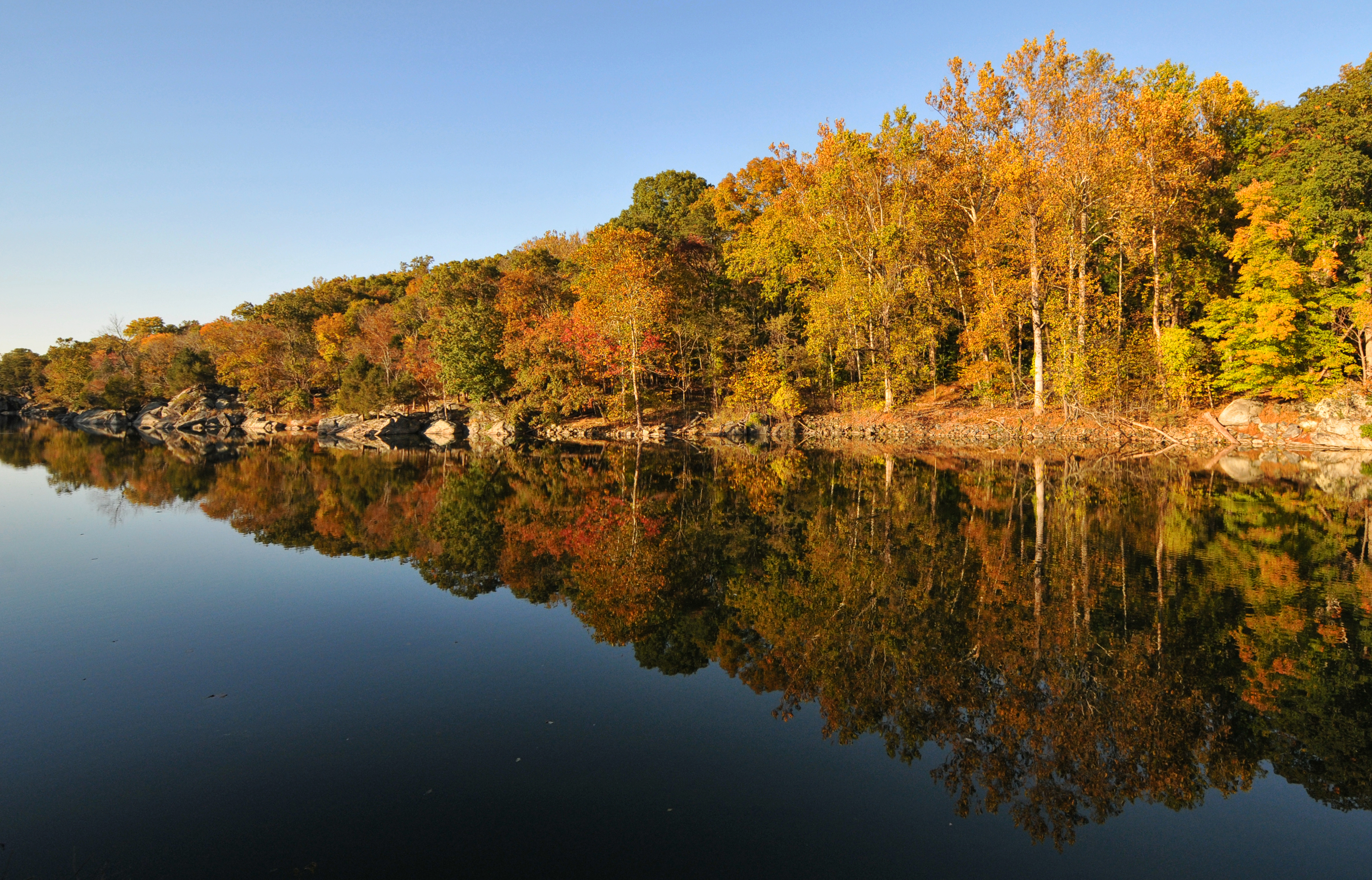
C&O Canal, Autumn

Night Fair
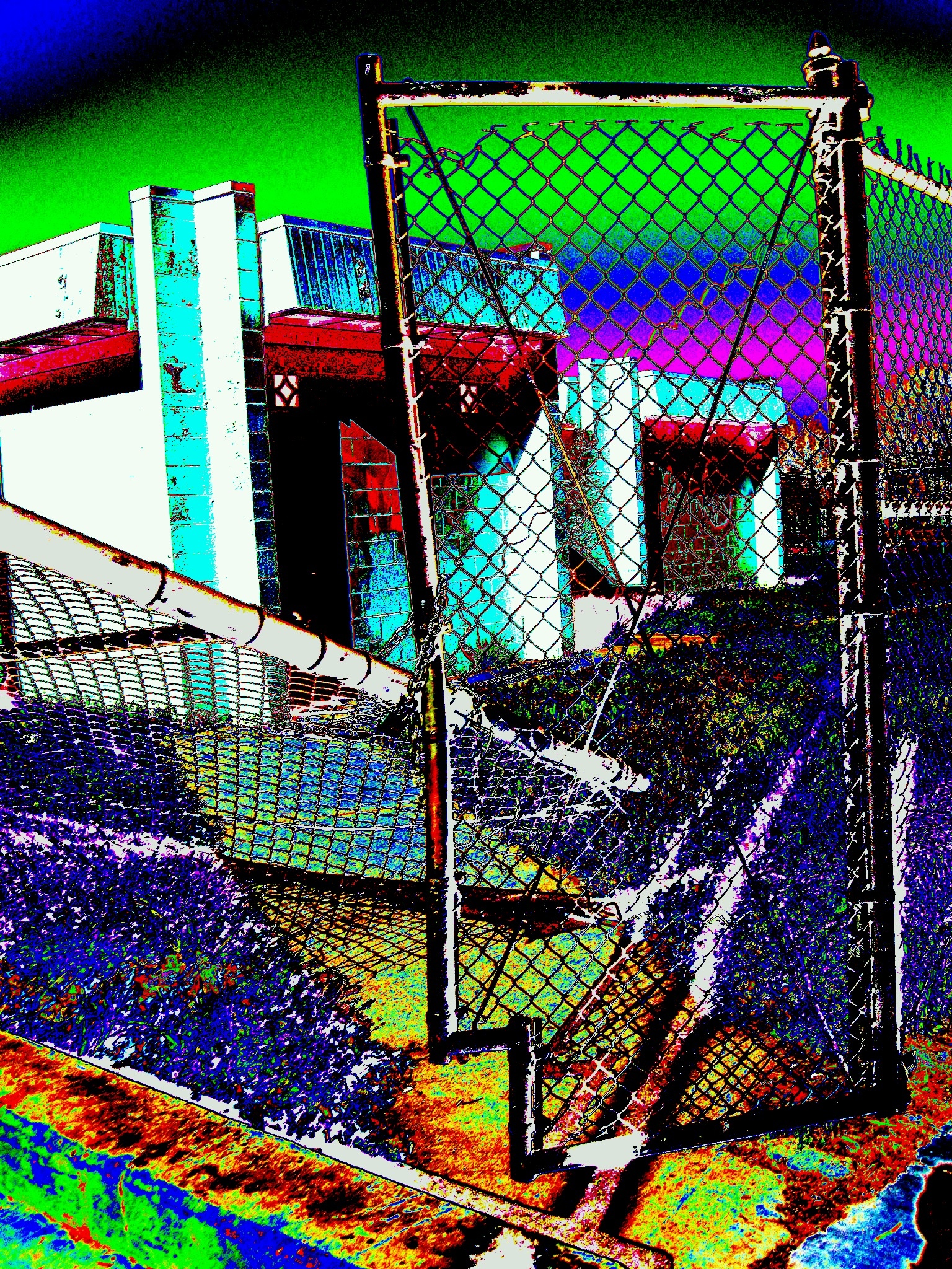
Broken Fence Technocolored Vision No. One
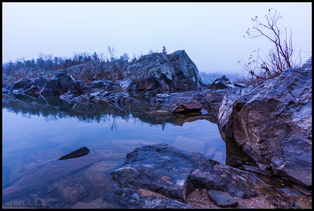
Foggy Start to the Day
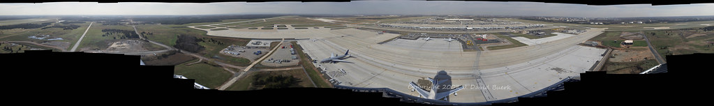
Airport Photography (EXPLORED)
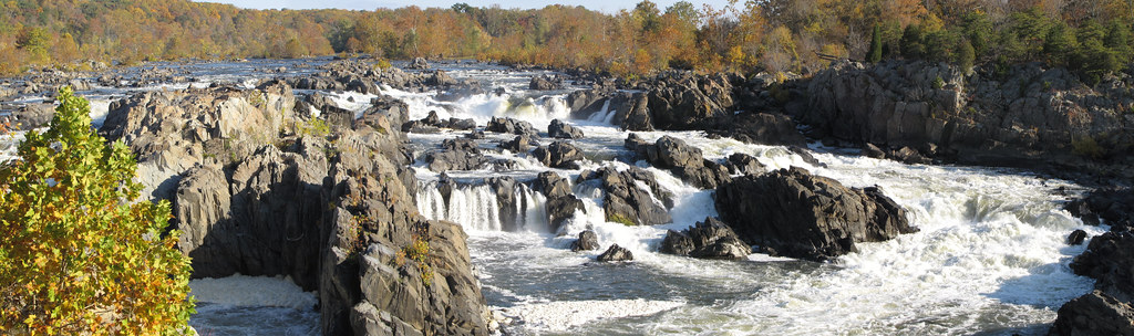
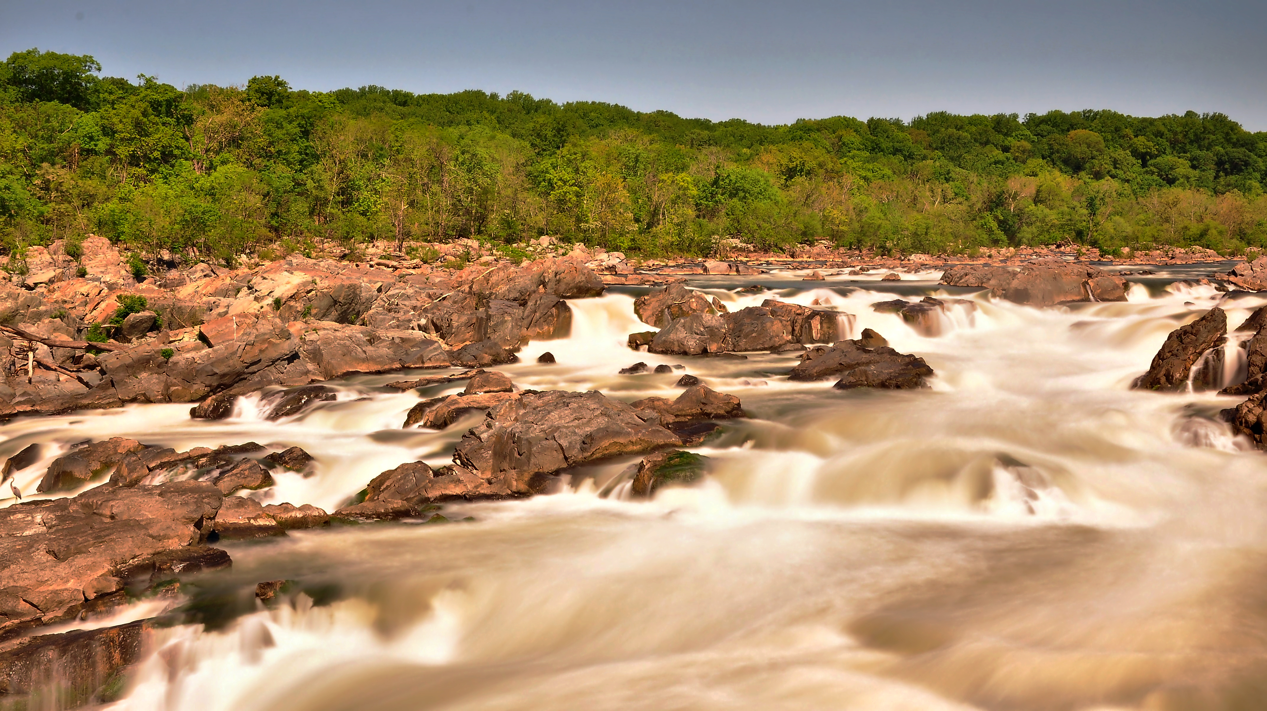
Great Falls of the Potomac

Panoramic view of Potomac River and Great Falls at C&O Canal National Park - Great Falls MD

Chantilly VA - Steven F. Udvar-Hazy Center - Mikoyan-Gurevich MiG-21 03

Chantilly VA - Steven F. Udvar-Hazy Center - Mikoyan-Gurevich MiG-21 02
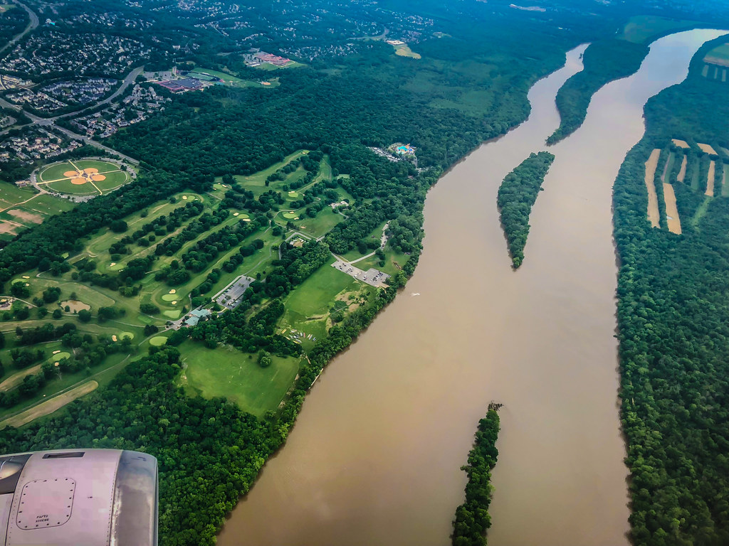
Aerial view of Potomac River upon landing at Washington-Dulles IAD Airport - Chantilly VA
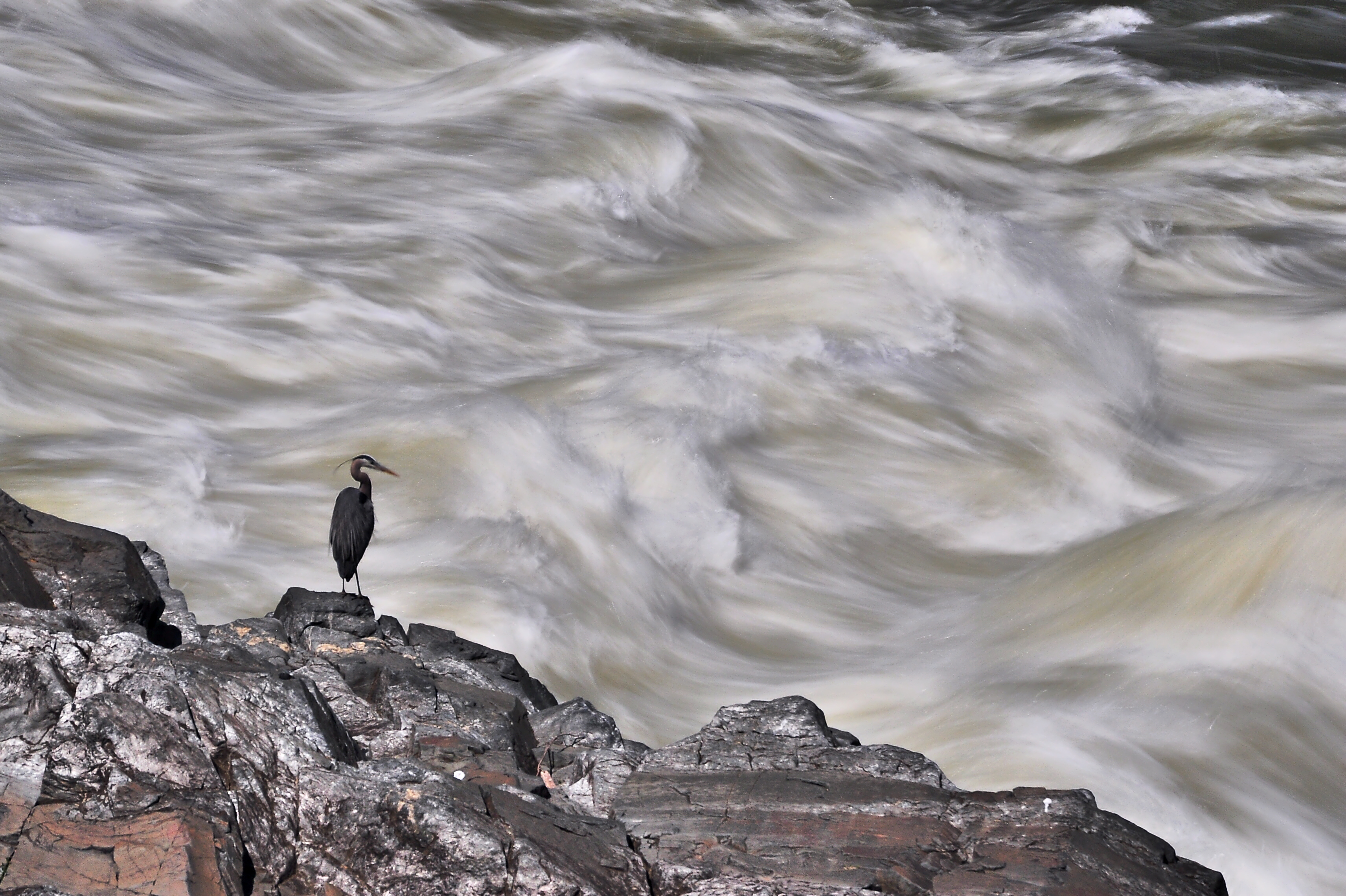
Great Blue Heron of Great Falls

Morning Fog Burning Off

Lavender Color Look On Sandstone No.1
Great Falls

Slave Dwelling on Lewis Farm

Blackbird Rear View

View of the Potomac River from the Billy Goat Trail.

Steven F. Udvar-Hazy Center: Photomontage of SR-71 on the port side
Topographic Map of Powells Tavern Pl, Herndon, VA, USA
Find elevation by address:

Places near Powells Tavern Pl, Herndon, VA, USA:
Valley High Road
1590 S Dickenson Ave
708 Old Hunt Way
Washington And Old Dominion Railroad Trail
1417 Bayshire Ln
Harry Byrd Hwy, Sterling, VA, USA
Herndon
Cedar Drive
494 Elden St
109 Herndon Mill Cir
22330 Glenn Dr
Sterling
1850 Town Center Pkwy
12701 Roark Ct
Reston
Dulles Technology Dr, Herndon, VA, USA
2311 Colts Brook Dr
13010 Park Crescent Cir
11590 Air View Ln
45195 Business Ct
Recent Searches:
- Elevation of Corso Fratelli Cairoli, 35, Macerata MC, Italy
- Elevation of Tallevast Rd, Sarasota, FL, USA
- Elevation of 4th St E, Sonoma, CA, USA
- Elevation of Black Hollow Rd, Pennsdale, PA, USA
- Elevation of Oakland Ave, Williamsport, PA, USA
- Elevation of Pedrógão Grande, Portugal
- Elevation of Klee Dr, Martinsburg, WV, USA
- Elevation of Via Roma, Pieranica CR, Italy
- Elevation of Tavkvetili Mountain, Georgia
- Elevation of Hartfords Bluff Cir, Mt Pleasant, SC, USA